The Essequibo Region Explained
The Essequibo region covers roughly two-thirds of Guyana, the land west of the Essequibo River, taking in about 61,600 square miles of rainforest, savanna, and highland plateau bordered by Venezuela to the west and Brazil to the south. Guyana has administered the area since independence in 1966. Venezuela also claims it. On Monday, May 4, 2026, the International Court of Justice opened public hearings on the merits of the boundary case at the Peace Palace in The Hague. The dispute dates back more than 125 years.
Where The Essequibo Is

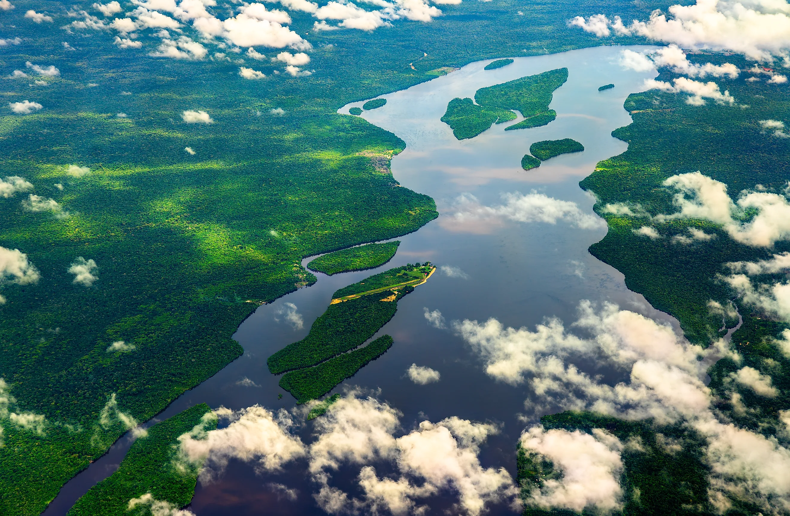
The Essequibo River is Guyana's longest. It rises in the Acarai Mountains near the Brazilian border and runs about 630 miles north, draining into the Atlantic Ocean 13 miles west of the country's capital, Georgetown. The land west of the river makes up the disputed region, an area larger than the US state of Georgia. Six of Guyana's 10 administrative regions lie either fully or partly within the territory. The population is about 125,000, roughly 14 percent of Guyana's national total. Most settlement clusters along the coast and along inland rivers, with much of the deep interior reachable only by boat or small aircraft. Indigenous communities have inhabited the highlands and river valleys for centuries, with the Akawaio, Patamona, and Wapishana peoples among the larger groups. The current line between Guyana and Venezuela follows the survey marked on the ground in the early 1900s after international arbitration, a boundary running about 490 miles.
A Rainforest, Highlands, And An Offshore Oil Boom

Most of the Essequibo region is hinterland forest. The Pakaraima Mountains run along its western edge and contain a scattering of tepuis, the table-topped sandstone formations characteristic of the Guiana Shield in northern South America. To the south sits the Rupununi Savannah, about 5,800 square miles of tropical grassland that extends across the Brazilian border. The territory holds large reserves of bauxite, gold, diamonds, and timber. Dense vegetation and limited road access have kept large parts of the interior lightly developed.
The biggest economic shift came offshore. In May 2015, ExxonMobil announced a major oil find at the Liza-1 well, drilled about 120 miles off the coast in a deepwater concession known as the Stabroek Block. The block covers 6.6 million acres of seabed and now holds an estimated 11 billion barrels of recoverable oil. First production came on December 20, 2019. ExxonMobil and its partners have since announced more than 30 significant discoveries. The proximity of those oil fields to the disputed coastline raised the economic stakes of the boundary question and intensified attention on the older legal dispute.
The 1899 Paris Arbitral Award

The boundary question goes back to the colonial period. Britain acquired the Essequibo region, along with Demerara and Berbice, from the Netherlands in 1814 and combined the three colonies as British Guiana in 1831. Venezuela had already gained independence from Spain and asserted that the area belonged to its former Captaincy General. Gold finds in the upper Cuyuni River drainage in the 1850s sharpened the dispute. After decades of pressure and a brief crisis in 1895, both governments agreed to submit their dispute to international arbitration under the Treaty of Washington, signed on February 2, 1897. A five-member tribunal sitting in Paris included representatives of Britain, the United States acting for Venezuela, and Russia. On October 3, 1899, the tribunal issued a unanimous decision known as the Paris Arbitral Award. The award gave Britain almost 90 percent of the disputed territory, restoring, with minor adjustments, a line that the German-born explorer Robert Schomburgk had surveyed in the 1840s. Venezuela retained the mouth of the Orinoco River and the land on either side. Between 1900 and 1905, joint commissioners walked the boundary on the ground and signed an official map on January 10, 1905.
Why Venezuela Considers The Award Invalid

For more than 60 years, Venezuela treated the 1899 Award as final and reproduced the line on its own official maps. That changed in the early 1960s. In 1949, a posthumous memorandum by Severo Mallet-Prevost, an American attorney who had worked on Venezuela's legal team, was published. Mallet-Prevost claimed that the tribunal's decision had resulted from a backroom agreement between the British and Russian judges rather than from the merits of the case. Venezuela formally raised that argument on February 14, 1962, when its UN representative wrote to the Secretary-General that the award was "the result of a political transaction carried out behind Venezuela's back." A joint Tripartite Examination of the documentary record ran between 1963 and 1965. Venezuela's experts continued to view the award as null and void. The British expert disagreed. Guyana, citing the demarcated boundary and the 1905 agreement, has maintained that the award is binding. Caracas has pressed the claim of invalidity through diplomatic channels, and Georgetown has defended the boundary line as final.
The 1966 Geneva Agreement And The Path To The ICJ

The dispute moved into a new framework in the mid-1960s as Britain prepared to grant independence to its colony. On February 17, 1966, three months before British Guiana became Guyana, three governments signed a treaty in Geneva. The Geneva Agreement established a Mixed Commission composed of Venezuelan and Guyanese representatives, signed by Venezuelan Foreign Minister Ignacio Iribarren Borges, British Foreign Secretary Michael Stewart, and British Guiana Premier Forbes Burnham. The commission had four years to find a "practical settlement" of the controversy. If the commission could not agree, Article IV authorized the United Nations Secretary-General to choose another method of settlement, including judicial settlement.
The Mixed Commission deadlocked. Decades of UN-mediated talks followed, including a "good offices" process that ran for nearly three decades, ending in early 2018 without producing an agreement. On January 30, 2018, Secretary-General António Guterres referred the controversy to the International Court of Justice. Guyana filed its application on March 29, 2018, seeking confirmation of the validity of the 1899 Award. The court has since ruled twice on jurisdictional questions. On December 18, 2020, it held that it had jurisdiction to decide Guyana's claims. On April 6, 2023, it rejected Venezuela's preliminary objection and found that it could adjudicate the merits of the case within the scope of the 2020 ruling.
The 2023 Referendum And The 2024 State Law

Tensions sharpened in late 2023, when Venezuela's National Assembly called a consultative referendum on the territory. On December 1, 2023, the ICJ ordered Venezuela to refrain from any action that would alter the situation in the disputed area. The vote went forward two days later. Venezuelan voters faced five questions, including whether they supported creating a new state called "Guayana Esequiba" and rejecting the court's jurisdiction. The National Electoral Council reported approval rates above 95 percent for each question. Independent observers and opposition politicians disputed the turnout figures, with some estimates as low as 10 percent.
On December 14, Presidents Irfaan Ali of Guyana and Nicolás Maduro of Venezuela met in Argyle, Saint Vincent and the Grenadines, and signed the Argyle Declaration, a joint commitment to refrain from the use of force. On March 21, 2024, the National Assembly passed the Organic Law for the Defense of the Guayana Esequiba. Maduro signed it into law on April 3, 2024, formally creating a 24th Venezuelan state. The law named Tumeremo, in Bolívar, as the temporary capital. Article 5 affirms the Geneva Agreement as the only valid legal instrument. Article 6 rejects the jurisdiction of the ICJ. Guyana characterized the law as a violation of the December 2023 ICJ order, while Venezuela described it as the implementation of the referendum result.
Status As Of May 2026: The Hearings At The Hague

Venezuela proceeded with elections for "Guayana Esequiba" despite a second ICJ provisional measures order. On May 1, 2025, the court, by a 12-to-3 vote, directed Venezuela to refrain from holding or preparing elections in the disputed territory. The polling took place on May 25, 2025, in a specially created micro-district within Venezuela's Bolívar state. No polling stations operated inside the Essequibo region itself. The National Electoral Council declared Admiral Neil Villamizar the first elected governor of the would-be state with about 4,720 votes.
Written pleadings before the ICJ wrapped up later that year. Venezuela filed its rejoinder on August 11, 2025. On January 27, 2026, the court notified the parties of the schedule. Public hearings on the merits opened on May 4, 2026, at the Peace Palace in The Hague. Guyana presented its first round of oral arguments on May 4. Venezuela followed on May 6, with second-round arguments from each side scheduled for May 8 and May 11. The court will then deliberate. A final judgment is expected to follow. Guyana has committed to abide by the ruling. Venezuela has officially maintained that it does not recognize the court's jurisdiction.
Awaiting The Court's Decision
The Essequibo region remains what it has been for more than a century. The land is a vast tract of rainforest, savanna, and highland plateau, divided in fact by the river and in law by the 1899 boundary. As of May 2026, Guyana administers it. Venezuela claims it. The International Court of Justice now holds the question, and a ruling will set the next chapter for both countries.


