Which States Are in the Frost Belt?
The Frost Belt is an informal region in the United States that is known for its heavy snowfall, frost-producing winters, and cold. The Frost Belt includes a huge part of the Midwest, the Great Lakes Region, and the Northeastern United States (Northeast). The region served as the center of economic activities in the U.S., and it was the most highly populated part of the country for many years. The region’s economy was affected by the change away from domestic production during the 1980s. People have been migrating from the Frost Belt to the temperate Southwestern and southern parts of the U.S. since the late twentieth century.
The Frost Belt States
The Great Lakes Region
The Great Lakes Area is a North American region that includes eight American states and Ontario, Canada. The eight Great Lakes Region states that are in the Frost Belt include Wisconsin, Pennsylvania, Ohio, New York, Michigan, Minnesota, Indiana, and Illinois. The region is centered on the Great Lakes which create a distinctive cultural, economic, and historical identity. These states together with Quebec and Ontario have a bi-national authority with the power to preserve and protect the environment and water resources of the region. The region gets its name from the Great Lakes Basins, a narrow watershed made up of the Great lakes surrounded by watersheds.
Upper Midwest
Upper Midwest is a sub-region of the Midwestern region. The Upper Midwest is the northern part of the Midwestern U.S. that is made up of various states including Iowa, South Dakota, and Wisconsin among others. A huge percentage of the Upper Midwest region is in the Frost Belt.
The Northeast
The Northeast is a geographical area in the U.S. which occupies an area of about 181,324 sq miles. The Northeast is surrounded by the Midwestern United States, Southern United States, Atlantic Ocean, and Canada. It is the second-most populous urban region in the U.S. with over 85% of the population residing in urban areas. The Northeast is divided into:
New England
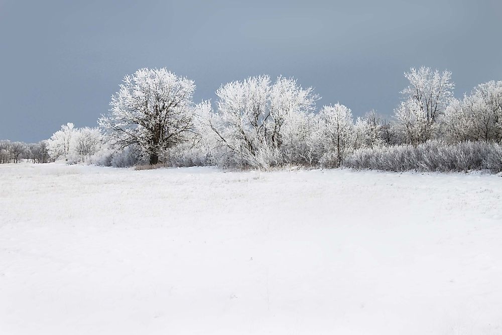
New England is a cultural and geographical area in the United States that is made up of six northeastern U.S. states. The region is surrounded by Quebec and New Brunswick provinces of Canada and the US state of New York. The Long Island Sound is on the southern parts of the New England while the Atlantic Ocean is to the southeast and east. The six states in this region include New Hampshire, Rhode Island, Maine, Massachusetts, Vermont, and Connecticut. The biggest city in the region is Boston, the capital city of Massachusetts. Greater Boston, the biggest metropolitan area in New England, is home to over 33% of the entire population in the region. Cold, long, and heavy winters are quite common in all the states in the New England region.
Mid-Atlantic States
The Mid-Atlantic is situated between the South Atlantic States and New England. Some of the states in Mid Atlantic include Maryland, New York, West Virginia, Virginia, and New Jersey, and among others. The Mid-Atlantic region played a crucial function in the development of American industry, trade, commerce, and culture.


