What is Lake Effect Snow?
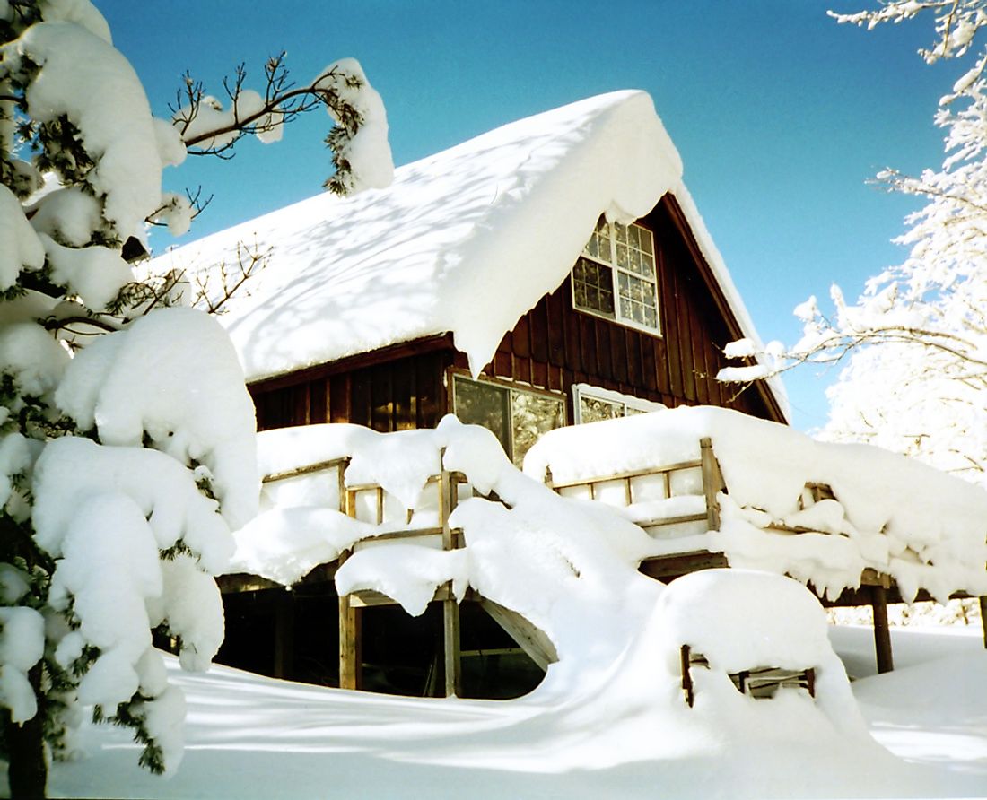
On November 20, 2017, parts of Upstate New York experienced close to one foot of snow. Specifically, the regions along Lake Erie and Lake Ontario were the recipients of the aforementioned snowfall. In a nutshell, lake effect snow is snow generated by moisture picked up from large lakes or other bodies of water. What makes this snowfall unique is how it originated.
What Is Lake Effect Snow?
Lake effect snow is a type of snow generated by large lakes. How this phenomenon takes place is a combination of several factors. Atmospheric conditions, the direction of the wind, and water temperatures are just a few of these factors.
How Lake Effect Snow Forms
The lake effect starts with the atmospheric instability and temperature differences between the air and the lake. Instability is needed for heat and moisture to travel in an upward direction. A difference in temperature of a least 23 °F (13 °C) between the lake and the atmospheric height where the barometric pressure is at 850 millibars. The air mass moving across the lake must be significantly colder than the lake itself. As a cold air mass passes over a relatively warmer lake, water vapor from the lake is picked up and ascends into progressively colder air. This is where fetch becomes another factor in how lake effect snow takes place.
An air mass will have a certain distance to travel across a lake, depending on its size and shape. The longer the distance an air mass travels over water (known as fetch) the more lake effect snow will be produced. Longer fetches allow for the lowest portions of the atmosphere (the atmospheric boundary layer) to become saturated with water vapor. Energy transfer from the lake to the atmosphere is more easily aided by fetch.
Water vapor ascending into much colder air will freeze. While the air mass is passing over the leeward shores of a lake, saturation and condensation has taken place. Precipitation takes place in the form of snow. The direction of the winds from such air masses are crucial for lake effect snow. Lake effect snow is often deposited downwind from an air mass' origin. This is due to the direction of the winds.
Local geography can play a role as well. In some places, mountains are located nearby. Orographic lift pushes moisture upward. As orographic lift takes place, dew points drop. More snowfall is produced due to orographic lift.
Where Lake Effect Snow Occurs
The Great Lakes region of North America has a region known as the Snowbelt. This includes areas that are the most heavily impacted by lake effect snow. More than 60 inches (150 cm) of snow falls in this region annually. Those areas include: Michigan's Upper Peninsula, the western region of Michigan's Lower Peninsula, northeast Ohio, Pennsylvania's Lake Erie coast, Ontario's eastern Lake Superior coast, much of Upstate New York (especially along Lake Ontario and Lake Erie), and the eastern coast of Lake Huron in Ontario. These areas are among the snowiest cities in North America such as Buffalo, Cleveland, Rochester, and Sault Ste. Marie.
Lake effect snow is not limited to the Great Lakes region. This phenomenon takes place in Utah's Great Salt Lake. It also takes place in Japan's western coast, Baltic Sea, Caspian Sea, Black Sea, and Russia's Kamchatka Peninsula. If the conditions are optimal, the lake effect can take place.

