The County That Holds Both The Highest And Lowest Points In The Lower 48
California's Inyo County holds both the highest and lowest points in the contiguous United States. Spanning the peak of Mount Whitney (14,505 feet) to the sub-sea-level extremes of Death Valley (-282 feet), Inyo's Lower 48-leading topography draws wilderness buffs and curious tourists alike.
Upon arrival, the standout discoveries only continue. This East-Central California enclave also harbors the oldest trees on the planet, the earth's hottest spot, dazzling high-alpine lakes, and cultural attractions covering Indigenous, Japanese, early Western cinema, and other diverse subjects.
Inyo County's Standout Stats
Location: East-Central California
Land Area: 10,197.26 square miles (2nd out of 58 CA counties)
2025 Population: 18,158 (52nd/58)
Biggest City: Bishop (2020: 3,819) — the only incorporated community in Inyo County
Highest Elevation: 14,505 feet above sea level (Mount Whitney)
Lowest Elevation: 282 feet below sea level (Badwater Basin)
Hottest Recorded Temperature: 134.1 Degrees Fahrenheit (Furnace Creek)
Oldest Tree: Methuselah. ~4,858 years old (Ancient Bristlecone Pine Forest)
Highest Point In The Lower 48: Mount Whitney

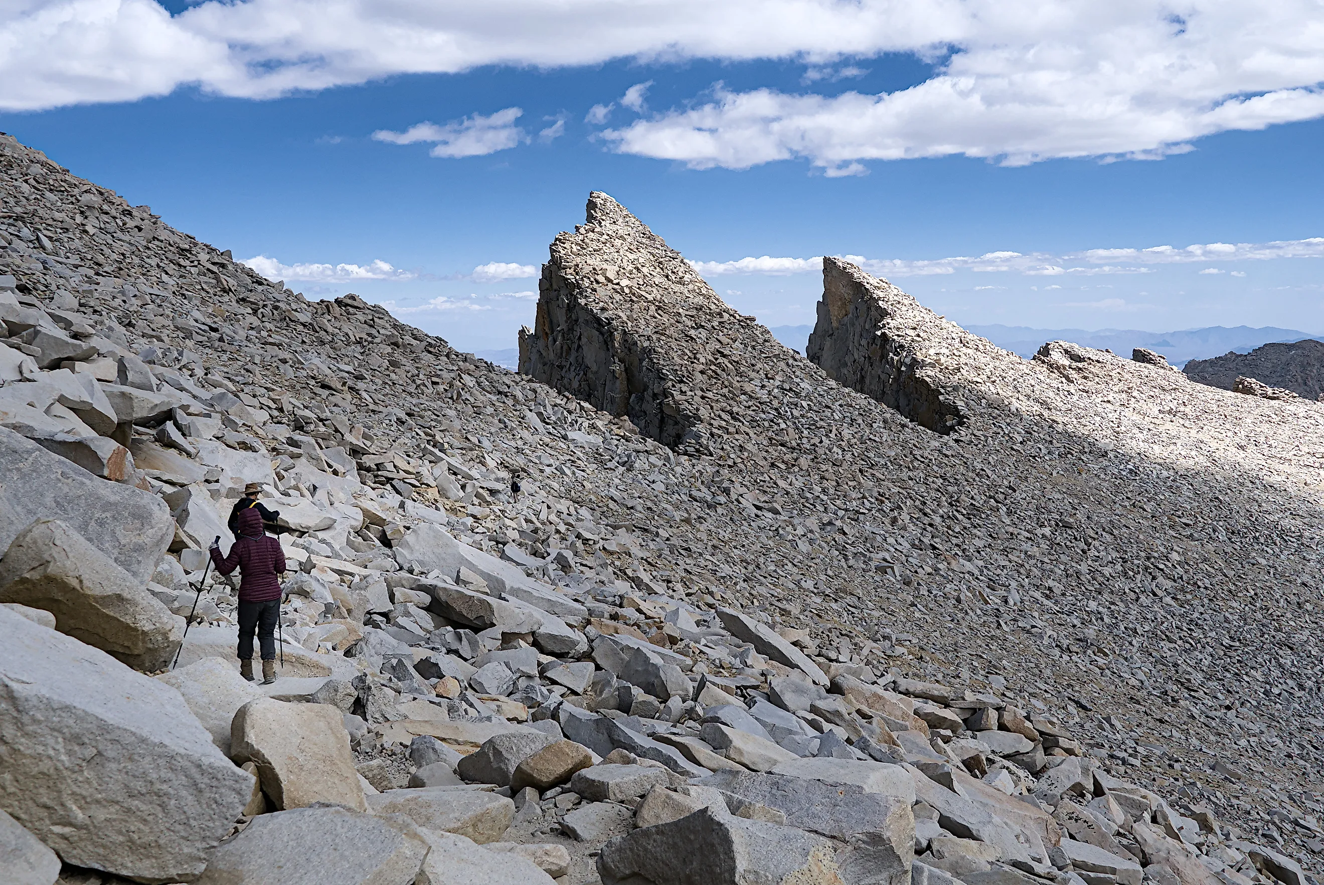
Mount Whitney stands at 14,505 feet above sea level, making it the highest point within the Lower 48. The slopes of this mighty Sierra Nevada mountain are split between Inyo County (east) and Tulare County (west), as well as Inyo National Forest (east) and Sequoia National Park (west). It is from Inyo's eastern slopes that most fit and determined hikers assault the summit.
The Mount Whitney Trail can be accessed via Whitney Portal Road, 12 miles west of the Eastern Sierra Scenic Byway (US 395) and the quirky Inyo County community of Lone Pine. The 22-mile round-trip hike gains more than 6,200 feet of elevation. Though it is not a technical climb, it is certainly a long and intensive endeavor.
Typically taking 12 to 14 hours to complete, it is recommended that permit holders (a day-use permit is mandatory for any activities in the Mount Whitney Zone) start before sunrise and still plan for a dark descent. For you multi-day trekkers out there, the summit of Mount Whitney marks the southern terminus of the beloved John Muir Trail.
Standing on the highest US summit outside of Alaska is juice worth the squeeze, but simply gazing upon Mount Whitney's towering spires is an inspiring experience (get it?). For this, make for the Eastern Sierra Visitor Center just south of Lone Pine, or take the scenic drive up Whitney Portal. While paralleling Lone Pine Creek, motorists will pass Alabama Hills National Scenic Area — the filming location for many classic Westerns — before the road culminates in arresting views of the champion mountain from the non-trivial altitude of 8,360 feet.
Lowest Point in the Lower 48: Death Valley

Switching from one extreme to the other, Death Valley's sub-sea-level salt flats and scorching temperatures are a far cry from Mount Whitney's brisk, rarefied air. Yet the polar opposite ecosystems are a mere 85 miles apart.
Death Valley National Park pins more accolades to Inyo County's belt, owing to the fact that it is the largest national park and the largest designated Wilderness in the Lower 48. Approximately 1.9 of the park's 3.4 million acres falls within Inyo County, including two of Death Valley's record-setters. At 282 feet below sea level, the Badwater Basin is the lowest point in not only the continental United States, but all of North America.
The other chart-topping site within Death Valley National Park is Furnace Creek. On July 10th, 1913, this place registered a temperature of 134.1 degrees Fahrenheit: the hottest temperature ever recorded, anywhere on earth. Despite the hot, drought-stricken landscape, well-adapted flora and fauna thrive here, and over 1.3 million people visited in 2025.
Both Badwater Basin and Furnace Creek can be accessed right from Badwater Road/SR 190. Heck, Furnace Creek has a Visitor Center and even a little regional airport. Statistical outliers aside, Death Valley gives plenty of reasons to visit, including shimmering salt flats, fluffy sand dunes, lumbering peaks, rippling badlands, marvelous marble (or marble-ous, if you will) canyons, and radiant night skies.
Other Highlights of Inyo County

The Lower 48's highest and lowest points, biggest national park, and biggest designated wilderness, plus the planet's hottest recorded temperature — what else could possibly make California's Inyo County turn heads? How about the oldest living tree on the planet?
Ancient Trees
Ancient Bristlecone Pine Forest is home to living trees in excess of 4,000 years old. The most senior of the lot, Methuselah, is estimated to be 4,858 years old, making it the planet's oldest known living tree. These Great Basin bristlecone pines twist and contort on the slopes of the White Mountains, within Inyo National Forest.
Unlike Inyo County's other standout attractions, Methuselah is deliberately hard to find. The Forest Service keeps its exact location secret to protect it, so the tree stands unmarked somewhere along the Methuselah Trail in Schulman Grove, off White Mountain Road, less than 40 miles from Bishop, California.
Alpine Lakes
Don't let all the talk of craggy peaks, scorching salt flats and deformed trees make you think Inyo County is a barren land, for alpine lakes refresh its scenery. Lake Sabrina (elevation of 9,128 feet), North Lake (9,350 feet), and South Lake (9,750 feet) punctuate the Bishop Creek Canyon portion of Inyo County with transparent blues. These cool water bodies reflect swaths of evergreens and ever-changing deciduous trees, plus the grey mountain slopes they inhabit.
Cultural Attractions
Inyo County is a nature-forward kind of place, but its two popular base camp communities, Bishop and Lone Pine, intertwine cultural tales. In Bishop, the county's only incorporated city, you'll find the Owens Valley Paiute-Shoshone Cultural Center (an homage to and continuation of its namesake Native Americans) and the Laws Railroad Museum & Historical Site.
Down in nearby Lone Pine, the Museum of Western Film History and the Alabama Hills National Scenic Area (where more than 400 movies have been filmed, Westerns and Blockbusters alike), in addition to the Manzanar National Historic Site (a WWII-era Japanese American internment camp) tell vastly different stories.
Amidst the Highs and Lows, It's All Highs
Whether shivering in the wind atop Mount Whitney or sweltering in the depths of Death Valley, Inyo County is all touristic high points. On top of its exceptional topography, this California county boasts the oldest living tree, the hottest recorded temperature, landscapes both stunning and alien, and historical hooks spread across two welcoming communities.
So gear up for a place containing both the highest and lowest points in the Lower 48. There are lots of surprises in between.