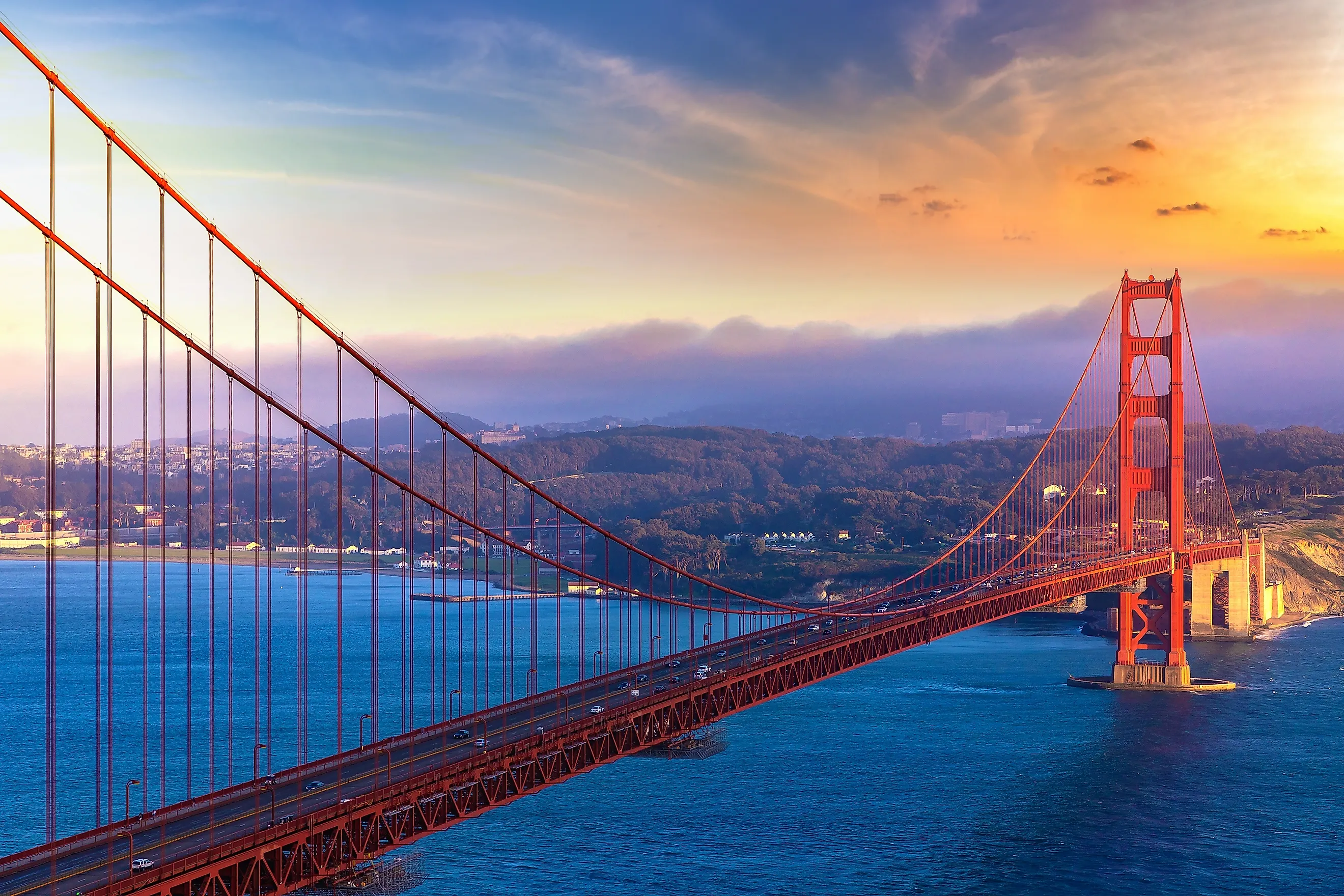
The Most Photographed Bridge In America
Here is the odd part about the most photographed bridge in the world: it is not gold, and no one set out to paint it orange. Frommer's handed the Golden Gate Bridge that title, yet the shade everyone knows started as the dull red primer coating its bare steel. The architect watched the towers go up in that color and decided to keep it. The name is older than the paint, and older than the gold rush it seems to borrow from. Army officer John C. Fremont called the strait the Golden Gate in 1846, two years before anyone struck gold in California, after the Golden Horn of old Constantinople.
The bridge keeps earning the attention. Its towers rise 746 feet above the water. The 4,200-foot span between them was the longest of any suspension bridge on Earth when it opened in 1937, and it held that record until 1964. The weather gets a vote too. Pacific fog funnels through the same narrow gate the bridge crosses, and on a bad morning it hides everything but the orange tower tops. Fort Point, a Civil War fort, sits in the shadow of the southern approach. Public overlooks on both shores line up the shot. Three other US bridges offer equally good reasons to bring your camera, with views over the cliffs of Big Sur, West Virginia’s New River Gorge, and the East River in New York. Read on to find your next photo stop.
The Orange Color Began With Construction Primer

The Golden Gate Bridge could have been painted in black and yellow stripes. The Navy favored that combination to make the structure more visible to passing ships. Consulting architect Irving Morrow found his inspiration in the reddish lead primer already coating the steel as the towers rose.
Morrow studied other colors before choosing the bridge's particular shade of International Orange. He wanted a finish that worked with the nearby hills while contrasting with the ocean and sky. Warm gray finished a distant second.
Color was only part of Morrow's contribution. The rectangular openings in the towers become smaller toward the top, emphasizing their height. Vertical ribbing on the tower bracing catches sunlight, giving close photographs details that disappear in a distant view across the bay.
Summer Fog Can Hide Most Of The Bridge

A summer trip can produce a photograph with very little bridge in it. San Francisco's coastal fog develops when moist Pacific air moves over colder water offshore. Gaps in the coastal hills allow that fog inland, and the Golden Gate is a conspicuous entrance into the bay. Low fog can leave orange tower tops visible above a white layer; thicker fog can obscure the crossing altogether.
The season matters if a clear view is the goal. By July, fog predominates across much of the national recreation area's coast. Mid-to-late September and October generally bring clearer skies, though fog and wind can occur throughout the year. Bring a warm layer even on a summer visit. The shoreline can be cold while inland neighborhoods are substantially warmer, and a clear view elsewhere in San Francisco does not guarantee an unobstructed bridge.
Changing Shores Changes The Photograph

Battery Spencer sits nearly 500 feet above the bay in the Marin Headlands, looking down toward the bridge. The northern tower stands close to the viewpoint, with the roadway extending toward San Francisco behind it. Conzelman Road provides access to this familiar high-angle composition. Parking near the battery is limited and often fills.
Across the strait, Baker Beach puts sand and Pacific surf in the foreground. Its mile-long shoreline gives photographers room to change position while keeping the bridge beyond the beach. Higher in the Presidio, Golden Gate Overlook creates a much narrower composition: both bridge towers line up between mature Monterey cypress trees. The overlook was deliberately oriented to reveal the roadway's gentle curve as well as the aligned towers.
A Fort Survives Directly Beneath The Southern Approach

At Fort Point, the bridge passes overhead on a steel arch built to preserve the brick fort below. Early bridge plans called for the fort's removal. Chief engineer Joseph Strauss supported saving it, and the design was changed to accommodate the building.
That decision left photographers an unusually close view of the bridge's underside, with nineteenth-century masonry immediately beneath its steelwork. Construction of the fort began in 1853, and its first cannon were mounted in 1861. It never saw battle. A small lighthouse also remains on the fort. It operated until 1934, when bridge construction blocked its light.
Walking Onto The Bridge Changes The Scale

The towers extend another 500 feet above the roadway. Walking toward a tower puts its orange steelwork directly overhead. The main cables are more than three feet thick. A main-cable cross-section is displayed in the southeast visitor area. Visitors can examine the thousands of individual wires inside it up close.
Pedestrians use the east sidewalk, facing San Francisco Bay. The bridge measures about 1.7 miles including its approaches, so a complete out-and-back crossing is roughly 3.4 miles before any extra walking. A shorter walk toward the south tower still puts visitors beside the suspended roadway. Check the posted access hours before going, since pedestrian gates close overnight and construction can shorten evening access. The sidewalk can also carry cyclists, so stop for photographs where others have room to pass.
Other Beautiful US Bridges Worth the Snap
Bixby Creek Bridge, California

Farther down California's coast, Bixby Creek Bridge crosses a steep canyon roughly 15 miles south of Carmel-by-the-Sea. The concrete bridge stands about 260 feet above the canyon floor, with its open arch exposing the canyon walls. The Pacific sits immediately beyond the crossing. Highway 1 crosses the arch and continues along the cliffs.
The bridge opened in 1932, five years before the coastal route connecting Carmel and San Luis Obispo was complete. Photographing it requires planning around limited access: stopping and parking are prohibited at either end. Use only clearly designated parking areas beyond the bridge, and check Caltrans road conditions before visiting this stretch of Highway 1.
New River Gorge Bridge, West Virginia

In West Virginia, the arch is steel, and the drop below the roadway reaches 876 feet. The New River Gorge Bridge carries US Route 19 across forested slopes near Fayetteville. Its 1,700-foot main arch stretches across the gorge with the river far below.
Canyon Rim Visitor Center provides a straightforward place to begin. An accessible ramp reaches the first overlook; 178 steps descend to a lower viewing platform.
For a broader view, the 3.2-mile round-trip Long Point Trail passes through forest before reaching an exposed rock outcrop facing the bridge. Keep back from its unprotected edges. The bridge roadway itself has no regular pedestrian access.
Brooklyn Bridge, New York

The Brooklyn Bridge puts its stone towers against Lower Manhattan's skyline. Opened in 1883, it has pointed Gothic arches and a web of cables that create strong lines in photographs taken along the pedestrian promenade. Walking across is free, and the elevated path lets visitors photograph the towers while traffic moves on the roadway below.
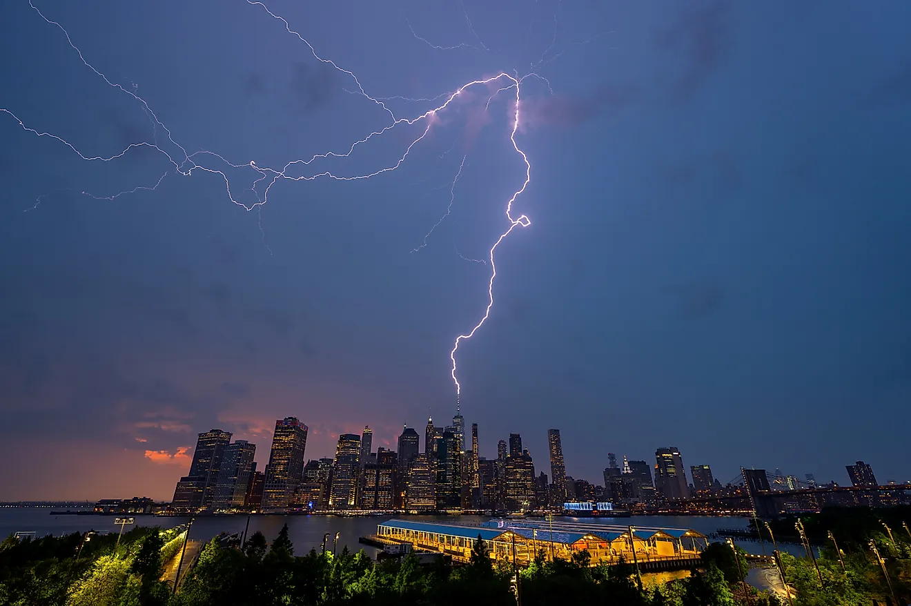
For a view that includes the East River, head to Brooklyn Bridge Park. Pier 1's promenade places the bridge and Lower Manhattan together across the water. Emily Warren Roebling Plaza takes visitors directly beneath the structure, where the underside fills the view overhead. Farther along the waterfront, the Empire Fulton Ferry boardwalk provides another angle on the bridge and skyline after dark, when the surrounding buildings are illuminated.
The Work That Keeps It Orange
Back at the Golden Gate Bridge, keeping the orange steelwork fit for its exposed position takes continual work. Salt in the air encourages corrosion, and inspections determine where the painters concentrate their efforts. The coating itself has changed since construction, with zinc-based primers and acrylic topcoats replacing the original lead-based paint. Maintaining the finish also requires access to the interiors of the bridge. Ironworkers remove plates and bars so painters can reach inside the steel columns and other structural members. They also replace corroded steel and substitute high-strength bolts for deteriorating rivets. Painters prepare the surfaces before recoating the affected areas, with crews working on rigging above the strait.