The Pacific Coast Highway Towns Worth Stopping In
If you live out west, you’ve driven Highway 1. The question is whether you’ve ever actually stopped. We tend to treat the Pacific Coast Highway like a scenic conveyor belt, foot on the gas and a few pullouts for photos. The better trip is the one where you park the car and stay a while. Mendocino hands you headland trails a block off Main Street. Capitola drops you right onto the sand. Morro Bay keeps you watching otters longer than you planned. The towns along this road are well worth slowing the drive for.
Mendocino

Head west off Highway 1 into Mendocino, and Main Street puts you beside a state park. Mendocino Headlands surrounds three sides of the village. Paths cross open grassland above sea arches and offshore rocks, close enough to town that you can return for lunch without moving the car. The park's Ford House visitor center sits on Main Street, useful for getting your bearings before choosing a route.
For a longer stop, head down to Big River. Catch a Canoe rents locally built redwood outrigger canoes, giving you a different view of the coast as you paddle inland through the tidal estuary. Harbor seals sometimes appear along the river. The boats have foot-controlled rudders and are built using wood reclaimed from old redwood barns. Big River Beach lies near the river mouth, below the village.
Bodega Bay

South along the Sonoma Coast, Bodega Bay puts a working fishing harbor between the highway and the ocean bluffs. Follow the shoreline around to Spud Point Crab Company on Westshore Road for a crab sandwich or clam chowder. The small counter-service shop faces the marina, so lunch comes with a view of the boats.
Continue out toward Bodega Head, where a roughly mile-long loop circles the peninsula's southern end above the Pacific. The headland gives you a clear view of the difference between the enclosed harbor and the open coast. During gray whale migration, bring binoculars and scan offshore for blows. Campbell Cove, below the headland, gives you somewhere to sit closer to the water; its sandy beach expands at low tide and can largely disappear at high tide.
Half Moon Bay

South of San Francisco, Half Moon Bay has miles of sandy shoreline for a longer beach walk. The Coastside Trail follows the landward edge of Half Moon Bay State Beach, with a three-mile stretch connecting its four beach areas. Start at Francis Beach, reached by Kelly Avenue, and walk or cycle north above the sand. The paved trail gives you room to keep walking even when you have finished exploring the beach itself.
Downtown sits inland, so leave time for Main Street before returning to Highway 1. Half Moon Bay Bakery has operated there since 1927, and the surrounding blocks contain independent shops and cafes. The waterfront around Pillar Point Harbor is a separate stop north of downtown, useful if you want to extend the outing along the harbor's shoreline paths. Dogs can join you on the Coastside Trail on a leash, although they are prohibited on the state beach sand.
Pescadero

The next food stop takes you about two miles inland. Pescadero sits among the San Mateo Coast's farms, with much of the village concentrated along Stage Road. Arcangeli Grocery Company bakes garlic herb and artichoke bread, a substantial upgrade to the snacks riding in the car. Pick up a loaf for the beach, or settle into Duarte's Tavern for its cream of artichoke soup. The tavern also serves olallieberry pie.
Harley Farms continues the farm-food connection with a cheese shop and bookable tours of its goat dairy. Pescadero State Beach sits back at Highway 1. Its shoreline includes sandy stretches and rocky tide pools, with the marsh preserve on the inland side of the road. Take the bread to the coast and save time to watch shorebirds around the creek mouth.
Capitola

After the farms and open coast around Pescadero, Capitola brings the village right down to the sand. Leave Highway 1 east of Santa Cruz and head into the small waterfront center, where Soquel Creek reaches Monterey Bay beside the brightly painted Venetian buildings. The Esplanade restaurants face the beach, with the wharf a short walk away.
Walk onto Capitola Wharf for a view back toward the colorful waterfront. Along the Esplanade, community-painted tiles decorate the seawall, and benches face the beach. You can watch surfers before choosing a waterfront table at Paradise Beach Grille.
Dinner at Shadowbrook starts with a small hillside cable car that carries diners down through landscaped grounds to the restaurant beside Soquel Creek. Reserve a table before building the evening around it.
Carmel-by-the-Sea

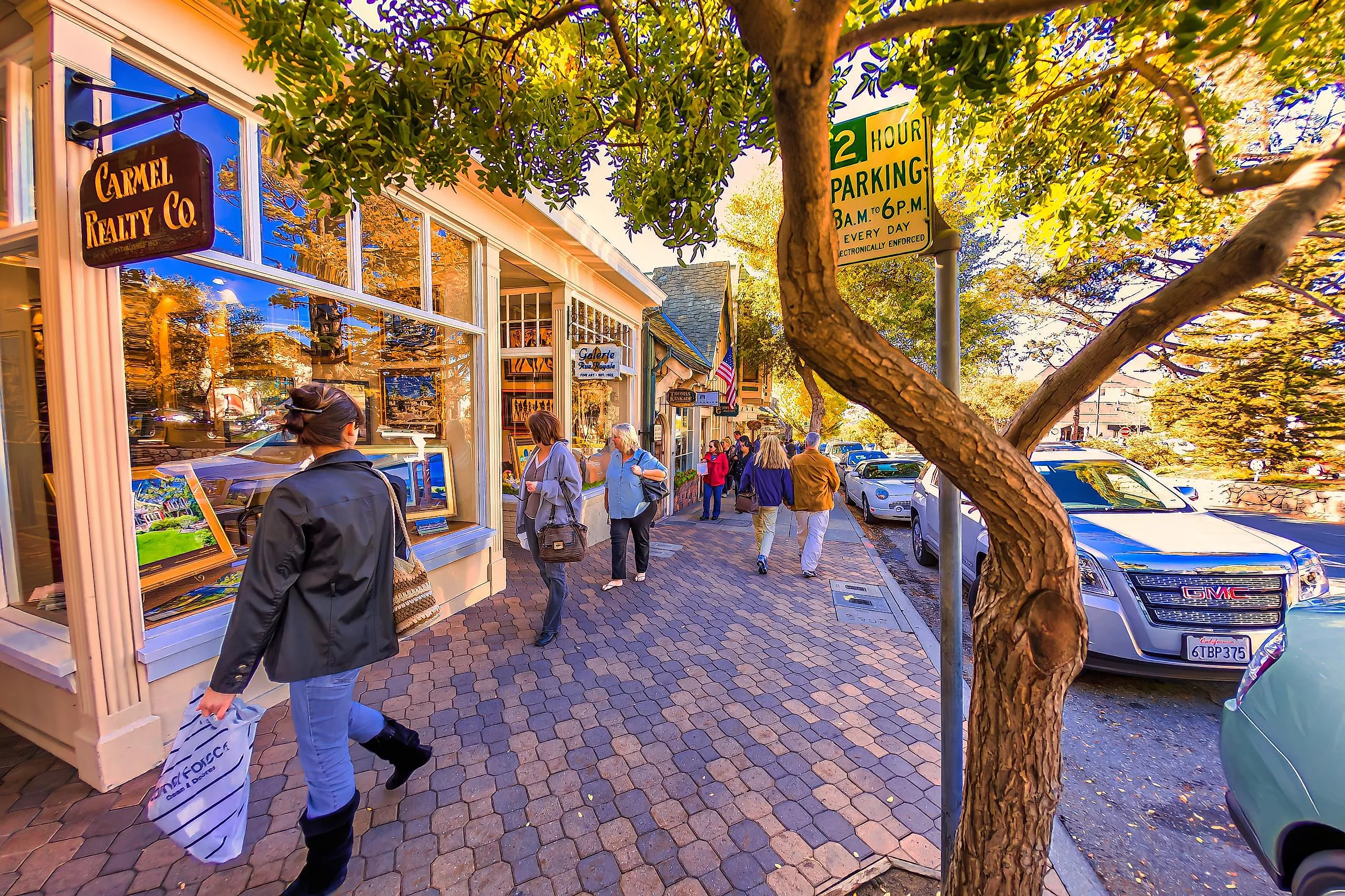
Across Monterey Bay, Carmel rewards a few turns away from the main shopping street. Ocean Avenue slopes down to Carmel Beach, where white sand meets cypress-lined bluffs. Walk south along the Scenic Path for views toward Carmel Point, using the beach access stairs when you want to get onto the sand. The return to the village is uphill, worth remembering before walking all the way to the far end.
Back among the shops, take a passage off the main street. El Paseo Courtyard contains a terra-cotta sculpture by Jo Mora, with a narrow alley continuing toward Seventh Avenue. Follow the passage through, then continue exploring the side streets for galleries and other courtyards. Carmel Bakery on Ocean Avenue supplies coffee and baked goods; nearby galleries give you somewhere to linger if fog covers the waterfront.
Cambria

Cambria's Moonstone Beach Boardwalk makes an easy first walk after time behind the wheel. The wooden path follows the coast toward Leffingwell Landing, with benches positioned above the water. Below it, the beach has pebbly stretches and rocky pools where you can pause to look closely at the shoreline. Leffingwell Landing adds picnic tables beside a small cove at the northern end.
On Bridge Street, Linn's Easy as Pie Cafe serves olallieberry treats. Pick up pie, then browse the village's shops and galleries. If you have more daylight, Fiscalini Ranch Preserve adds a separate bluff walk south of Moonstone Beach. Its trails cross open coastal land, with routes that let you extend the outing beyond the boardwalk. For an overnight stay, look along Moonstone Beach for oceanfront lodging or into the Monterey pines for cottages away from the shore.
Cayucos

The broad sandy beach at Cayucos changes the pace after Cambria's rocky shoreline. Ocean Avenue runs through a compact downtown beside the water, and Cayucos Pier extends 940 feet into Estero Bay. Walk out for a view back toward the town and watch surfers from above, then return to the beach at the foot of the pier. Brown Butter Cookie Company is close enough to make a bag of its sea-salt cookies part of that walk. The downtown shops include antique stores, so you can stretch a snack stop into some browsing without driving elsewhere. Families also have a beach playground near the pier, with restrooms nearby. Hidden Kitchen serves blue corn waffles in downtown Cayucos if you arrive in time for breakfast. Farther north of town, Estero Bluffs State Park offers coastal walking away from the storefronts.
Morro Bay

In Morro Bay, you can watch sea otters from a pier beside a working harbor. Morro Bay has sea otters year-round, and the South T-Pier and Harbor Walk are established places to look for them from shore. Watch quietly as they float or groom, and give them more space if your presence changes their behavior.
The Embarcadero follows a working harbor, with seafood restaurants and boat operators along the waterfront. A guided kayak outing lets you explore the bay at water level, with a local guide choosing a route for the conditions. You can also stay ashore and follow the Harbor Walk toward Morro Rock. At 576 feet tall, the landmark stays visible above much of the waterfront, while the sheltered water below provides the closer view of wildlife.
Laguna Beach

Farther south, beyond the Los Angeles stretch of the drive, Laguna Beach puts rocky coves beside a busy downtown. Start at Main Beach, where the boardwalk and beachfront basketball courts sit near Coast Highway. A walk north brings you to Heisler Park, with paths and picnic lawns above the water. Stairs connect the bluff to the shore below.
Time the visit for low tide if you want to explore the pools. Around Heisler Park, anemones attach to the rocks and small crabs move through the shallows. Leave the animals in place and watch where you step; the city's marine protections prohibit collecting.
When the tide covers the rocks, stay on the bluff paths. Heisler Park continues along Cliff Drive toward Diver's Cove, with ocean views and public art along the way. Main Beach's restaurants and downtown shops remain nearby for a meal after the walk.
On Highway 1, the useful distance is often the walk between a parking space and the water. A waterfront village such as Capitola lets you combine lunch and a beach afternoon without moving the car. Half Moon Bay spreads those activities between its inland Main Street and the coast, so the same amount of time needs a different plan. Allow extra room around the Big Sur section between Carmel and Cambria: check Caltrans QuickMap before departure, since slides, fires, and road repairs can alter access. At the smaller stops, tide times can matter more than mileage. Campbell Cove's sand and Laguna's exposed pools both change as the water rises.