Barnstaple Bay
Barnstaple Bay is a body of water located in the southern part of the U.K., near Wales. It was an essential historical port during the early and late medieval periods. Today the area is known for its beaches and natural beauty. The local peat bogs are a testament to just how tumultuous the area was in the past. Devon, Barnstaple, and Bideford are the main cities along the sea coast. They gave the Bay its name and defined it as an important body of water for trade.
Location of Barnstaple Bay

Barnstaple Bay is a large portion of the ocean off the coast of Devon, Wales. It is located in the southwestern part of the country, attaching to the Bristol Channel and touching the Celtic Sea to the north.
Barnstaple Bay is also known as Bideford Bay, with many maps referring to the area as "Bideford or Barnstaple Bay." The Bay has two names because of its location near the towns of Barnstaple and Bideford. Due to the proximity to these two towns, the bay carries both of these names.
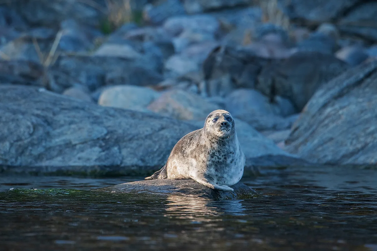
The bay is an important part of the local economy since it is an important shipment port. It is also a great location for fishing, even though the waters can be rough. The bay is still an important part of the local economy and most of the old shipping routes are still in use today.
History of Barnstaple Bay

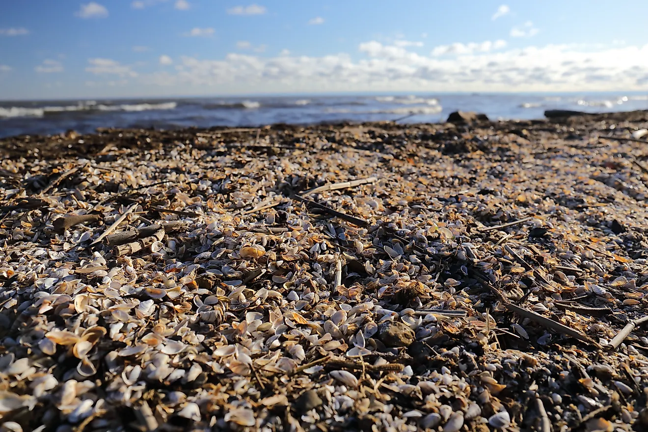
Barnstaple Bay was the center of intense sea level rise about 6,000-5,500 years ago. Near the coastline, visitors can see peat bogs and ancient submerged portions of the landmass, which are still visible offshore.
These peat bogs and decayed forests near the beach speak to the intense sea rise of the time. The erosion on the shorelines displays how the ocean levels change and how it has the potential for storms.
Throughout medieval times, Barnstaple became one of the main shipping ports of Wales and Britain. But its official history started in 930 A.D. when the first royal charter laid out its boundary lines.
In 1066 William the Conqueror took Britain for the French. However, a lot stayed the same for Barnstaple during this time and the city continued growing and retained its status as a Burh. This gave the area the right to make and mint coins. In the late 1500s, the Great Quay of Barnstaple was built. This opened the area to trade, with tobacco being the main import into the area.
Today, most of Barnstaple and the surrounding areas are fishing and farming communities. The bay still plays an integral part in shaping the area's wealth and prosperity.
The Climate in Barnstaple

Barnstaple Bay is a temperate climate similar to most of England, Wales, and Ireland. However, it is also categorized as an oceanic climate. Oceanic climates are temperate climates with significant rainfall and humidity year-round.
The area is also known to be wind-swept, thanks to the cold breeze coming off of the bay. The southern region of Britain and Wales is known for being wet and overcast most of the year.
The temperatures usually range between 64-72 degrees Fahrenheit in the summer months (18-22 degrees Celsius). In the winter, the average temperatures range between 34-39 degrees Fahrenheit (1-4 degrees Celsius).
The region never gets extremely hot or extremely cold. This makes for a comfortable, neutral, environment but very rainy. Devon and the other surrounding coastal towns near Barnstaple Bay experience between 35-39 inches of rain annually (900-1,000 mm).
The Celtic Sea and Surrounding Waters

Barnstaple Bay and the surrounding waters of the Celtic Sea and Bristol Bay are connected with Barnstaple Bay. These waterways are defined by rough waters, especially in the fall and winter months.
While Barnstaple Bay is less rough due to its proximity to Wales and Britain, getting to the Bay has historically been a little tricky. The continental shelf drops off near the edges of Wales and Ireland–one of the worst areas for sailing.
Bristol Bay, the British Channel, and Saint George's Channel are all important parts of this waterway. The English Channel rests to the south, with the Celtic Sea (also known as the Irish Sea) resting to the north.
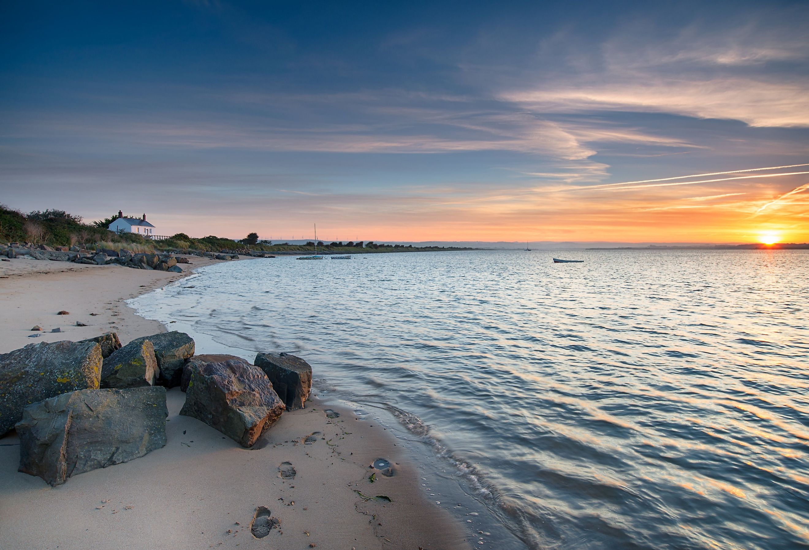
Westward Ho! Village

Westward Ho! Village is a small coastal community located near Devon. This town is one of the closest coastal villages to Barnstaple Bay.
Westward Ho! Village has approximately 2,000 inhabitants as of 2011. It is a tourist attraction with various pubs and bed and breakfasts.
The city gets its name from a novel by Charles Kingsley of the same name. Investors and businessmen in the 1850s decided to capitalize on the book's popularity and market it as a tourist attraction. It has worked so far, with tourism being one of the town's main economic industries.