Maps of England

England, a country that constitutes the central and southern parts of the United Kingdom, shares its northern border with Scotland and its western border with Wales. The North Sea and the English Channel lie to the east and south, respectively, while the Irish Sea lies between England and Ireland. Spanning an area of approximately 51,330 square miles, England is the largest nation in the United Kingdom.
Dominated by rolling hills and low mountains, the Pennines form a natural border between the North West and North East of England. The highest peak in this region, and also in England, is Scafell Pike, which reaches an elevation of 3,210 feet. The Cumbrian Mountains to the northwest include the famous Lake District, a region of picturesque lakes, valleys, and mountains that attracts millions of visitors each year.
In contrast to the rugged terrain of the north, the central and eastern regions of England are characterized by relatively flat and low-lying areas. The East Anglian region is particularly known for its expansive fenlands and broads, where rivers and lakes have formed in a unique landscape that hosts a diverse range of flora and fauna.
The South East of England is home to the Chiltern Hills and the North Downs, both of which are areas of outstanding natural beauty. The South Downs, a range of chalk hills, stretches across the southeastern coastal counties and culminates in the iconic white cliffs of Dover. The region also boasts the New Forest, an ancient woodland and heathland that has remained largely unchanged for centuries.
The West Country, encompassing the southwestern peninsula of England, is known for its diverse landscapes, which include moorlands, such as Dartmoor and Exmoor, and the rolling Mendip and Quantock Hills. This region is also renowned for its dramatic coastline, featuring picturesque harbors, rugged cliffs, and sandy beaches.
England is home to several major rivers that have played significant roles in the country's history and development. The Thames, the longest river in England, stretches for 215 miles and passes through London, the country's capital. Other significant rivers include the Severn, which forms part of the border between England and Wales, the Trent, which flows through the Midlands, and the Tyne, which meanders through the North East.
Major bodies of water include Lake Windermere in the Lake District, the largest natural lake in England, and the Norfolk Broads in East Anglia, a network of navigable rivers and lakes. The country's coastline also features numerous estuaries, bays, and inlets, such as the Solent in the South East and the Humber Estuary in the North East.
Map

The Country of England is administratively divided into a total of 9 regions, 48 ceremonial counties, 6 metropolitan counties, 24 non-metropolitan counties, 309 districts (including 36 metropolitan boroughs, 32 London boroughs, 181 non-metropolitan districts, 58 unitary authorities, and 2 sui generis), and about 4,500 civil parishes.
Covering an area of 130,279 sq. km, England is the largest country in the United Kingdom. Located in the southeastern part of the country, along the banks of the Thames River is London – the capital and the largest city of England. London serves as one of the most important global cities in the world.
Where is England?
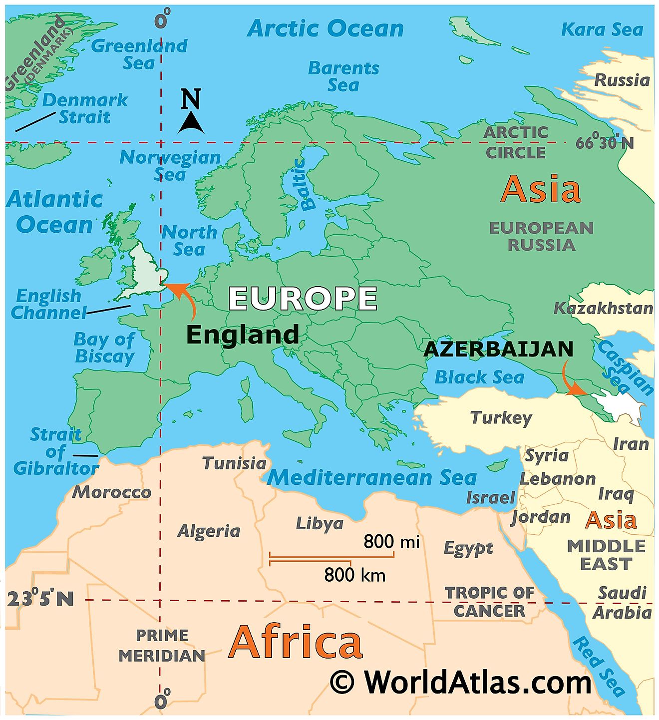
England is a country located in the southern region of the United Kingdom. It is geographically positioned in the Northern, Eastern, and Western hemispheres of the Earth. England is bordered by Scotland in the north; by Wales, the Irish Sea, and the Atlantic Ocean in the west; the North Sea in the east; the English Channel in the south and by the Celtic Sea in the southwest.
Regional Maps: Map of Europe
Outline Map of England
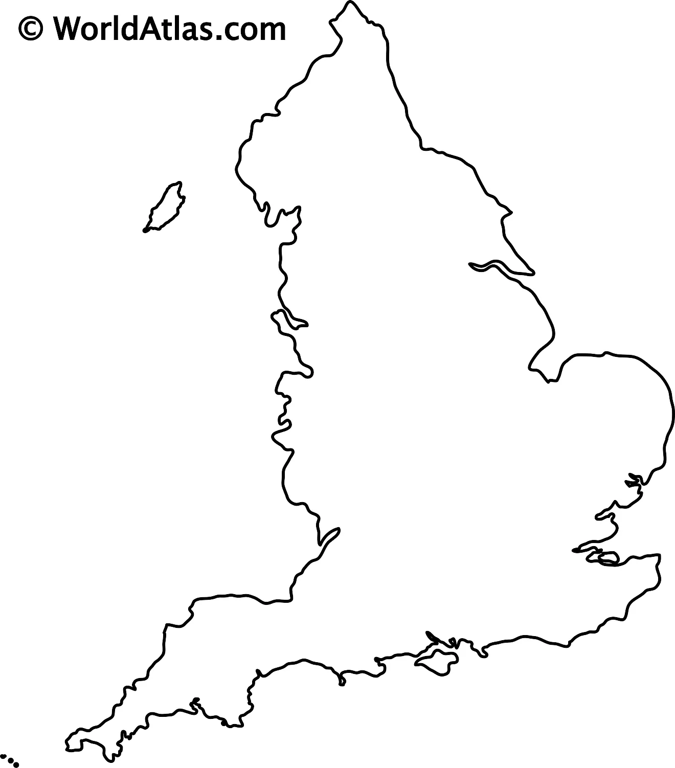
The above blank map represents the country of England, located in the southern region of the United Kingdom. The above map can be downloaded, printed, and used for geography education purposes like map-pointing and coloring activities.
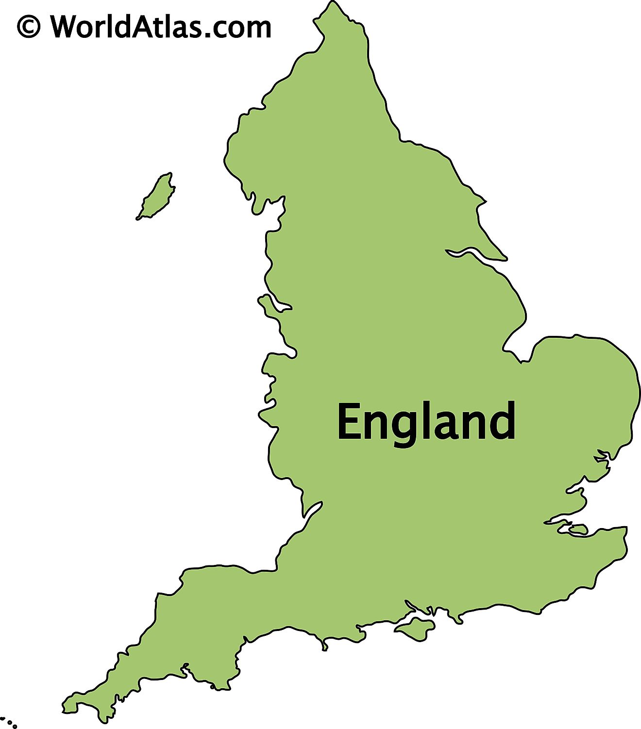
The above outline map represents the country of England, located in the southern region of the United Kingdom.
Key Facts
| Legal Name | Part of England |
|---|---|
| ISO 3166 Code | UK-UKE |
| Capital City | London |
This page was last updated on April 24, 2023


