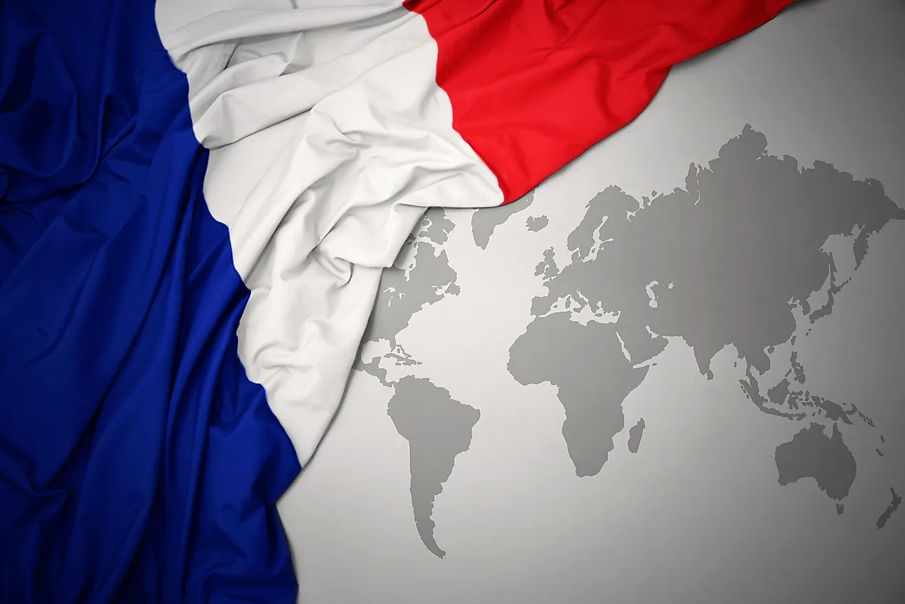
Overseas France
- France has 13 distinct overseas territories, 11 of which have permanent populations.
- Four of France’s overseas territories are in the Caribbean Sea, four are in the Pacific Ocean, three are in the Indian Ocean, and one is in North America.
- Five of France’s overseas territories are considered overseas regions or departments of France, which means that they are treated the same as if they were territories in mainland France itself.
- Réunion is the most populous overseas territory of France.
France once had a vast empire with territory all over the world. At its height in 1929, the French Empire controlled roughly 8.7% of the world’s surface, including large parts of Africa and Asia. Today, France is no longer a great imperial power, but it still maintains 13 distinct overseas regions including five in the Caribbean, one in north-western Atlantic Ocean, four in the Pacific Ocean, and three in the Indian Ocean.
Contents:
- French Guiana
- Guadeloupe
- Martinique
- Saint Martin
- Saint Barthélemy
- Clipperton Island
- French Polynesia
- New Caledonia
- Wallis and Futuna
- French Southern And Antarctic Lands
- Mayotte
- Réunion
- Saint Pierre And Miquelon
French Guiana

French Guiana is located on the Caribbean coastline of South America. It is bordered to the south and east by Brazil, and to the west by Suriname. French Guiana is the only French overseas territory that is not an island. Like Guadeloupe and Martinique, French Guiana is considered part of France. Its land area is 83,534 km2, and its population is about 306,000. The territory was originally settled by the Indigenous Arawak and Carib peoples. The first French settlements were established around 1624. French Guiana became an overseas department of France in 1946. The territory is best known for being the launch site of the European Space Agency, as it is the closest European territory to the Equator.
Guadeloupe

Guadeloupe is an island territory located in the Lesser Antilles in the eastern Caribbean. It is situated to the north of the independent country of Dominica, and to the south of the British overseas territory of Montserrat. Guadeloupe is an archipelago of six islands, the largest of which are the two islands of Grand Terre and Basse Terre. The total land area of the French territory is 1,628 km2, and its population is approximately 400,000. Guadeloupe is now classified as one of the five overseas regions and departments of France, which means that it is treated as part of France itself. Thus, it is part of the European Union and uses the Euro as its currency. Guadeloupe also has four representatives in the French National Assembly.
Martinique

Just 115 km south of Guadeloupe is the French territory of Martinique, which is an island located north of St. Lucia and south of Dominica. Like Guadeloupe, it is also considered part of France. The total land area of Martinique is 1,060 km2, and its population is approximately 375,000. Christopher Columbus sighted the island in 1502, when it was inhabited by Indigenous Taíno people, who called it “the island of flowers.” The French colonized the island in the 17th century. In 1982, Martinique was made a region of France. Tourism and the cultivation of sugarcane are the mainstays of the island’s economy.
Saint Martin

The overseas collectivity of Saint Martin is located in the West Indies. It houses a population of 34,065 on an area of 53.2 km2 . Saint Martin is part of the island of the same name. The island's northern part (around 60% of the total area of the island) is Saint Martin of France. The remaining part of the island is Sint Maarten, that is government by the Netherlands. Saint Martin also includes some smaller islands in the surrounding ocean.
Saint Barthélemy

Also known as Saint Barts, Saint Barthélemy is the smallest of France’s Caribbean territories, with a land area of just 25 km2. The island territory is situated to the southeast of Anguilla and to the north of St. Kitts. It consists of several islands, the largest of which is simply known as St. Barthélemy Island. About 9,900 people call Saint Barthélemy home. It was originally inhabited by the Indigenous Arawak and Carib peoples, who greeted Columbus when he made landfall there in 1493. Columbus gave the island territory its name, calling it Bartholomeo, after his brother. The first French settlers to live on the island were Huguenots from the French region of Normandy. In 1784, France sold the island to Sweden, but bought it back in 1878. Saint Barthélemy was formerly administered as part of Guadeloupe, but in 2003, its people voted to become a separate Overseas Collectivity of France.
Clipperton Island

Clipperton Island is an uninhabited atoll in the eastern Pacific Ocean. The atoll is situated 1,090 km southwest of Mexico. The only attempt to colonize the tiny island was in 1906 when a guano mining operation deposited 100 people on the island who were to depend on supplies shipped there from Mexico. But when the Mexican Civil War ensued, the supply shipments to Clipperton Island stopped. As a result, most of the people on the atoll died of malnutrition or by trying to escape. A few were eventually rescued by a passing ship in 1917. Since then, no one has attempted to colonize the island.
French Polynesia

French Polynesia is a French overseas collectivity consisting of 118 atolls, of which 67 are inhabited. The territory is situated in the South Pacific Ocean, to the northeast of the Cook Islands and to the northwest of the Pitcairn Islands. French Polynesia’s total land area is 3,521 km2, and its population is about 282,400. About two-thirds of this population is of Polynesian descent. The majority of French Polynesians live on the island of Tahiti, which is the capital and largest island of the collectivity. French Polynesia is thought to have been settled by migrating Polynesians in 500 BCE. Tahiti was claimed for France in 1768 and made a French colony in 1880. In 1957, the French integrated Tahiti with other surrounding islands to create French Polynesia. It has been an overseas collectivity ever since.
New Caledonia

New Caledonia is located in the Melanesian region of the South Pacific Ocean, southwest of the independent country of Vanuatu and east of Australia. The French territory’s population is approximately 288,000. About 40% of this population consists of the Indigenous Kanak people. The next most populous group is people of European descent. New Caledonia became a French colony in the 19th century. At that time, the Indigenous population was confined to reserves, a living situation that eventually caused them to revolt against French rule between 1878 and 1921. Even today, many people in New Caledonia want outright independence. A referendum in 2019, however, reaffirmed the desire of most of the population to remain a special collectivity of France. Nevertheless, New Caledonia does enjoy a wide degree of autonomy.
Wallis And Futuna

Wallis and Futuna is a French collectivity located in the South Pacific Ocean, northeast of Fiji and west of Samoa. It consists of Wallis Island and the two Hoorn Islands, Futuna and Alofi. The two island groups are separated by 230 km of ocean. The total land area of Wallis and Futuna is 142 km2, and the total population is approximately 11,000. Most of the people living in the territory are of Polynesian descent. The islands were originally settled by the Lapita people, who immigrated from Taiwan and other parts of Southeast Asia, about 3,500 years ago. The first Europeans to arrive on the islands were Dutch merchant sailors, who made landfall in 1616. In 1887-1888, Wallis and Futuna became a French protectorate. The territory has been an overseas collectivity since 2003.
French Southern And Antarctic Lands

The French Southern and Antarctic Lands consist of islands far scattered around the southern Indian Ocean. Some of these islands are located around Madagascar, while others are found farther south, relatively close to Antarctica. These islands have no permanent inhabitants. They do, however, host some personnel working at scientific and meteorological stations. There is also a small French military garrison stationed in the Iles Éparses (Europa Island, Glorioso Islands, Juan de Nova Island).
Mayotte

Mayotte is a small island territory in the Indian Ocean. It is situated between Comoros and the large African island country of Madagascar. Mayotte consists of two major islands, Grande Terre and Petite Terre. Most of Mayotte’s population of approximately 279,000 is of Comorian descent and is overwhelmingly Muslim. In a referendum that took place in 2009, the people of Mayotte voted overwhelmingly to become part of France. Thus, the territory became France’s 101st department. Despite this, the independent country of Comoros continues to claim Mayotte as its own.
Réunion

Réunion is an island situated between the independent countries of Mauritius and Madagascar, in the Indian Ocean. The island’s population is approximately 901,000, making it the most populous of all the French overseas territories. The people of Réunion are very multiethnic, with groups of African, Indian, Malagasy, Chinese, and European descent. The first Europeans to make contact with Réunion were Portuguese explorers in 1507. The French occupied and claimed the island in 1642. Between the 17th and 19th centuries, immigrants from China and the Indian Subcontinent came to settle in Réunion. African slaves also made it to the island during that time. Today, Réunion is one of the five overseas departments and regions of France. Its economy is dominated by the service industry, though agriculture, specifically the cultivation of sugarcane, is still important. Its government is also trying to encourage tourism.
Saint Pierre And Miquelon

Saint Pierre and Miquelon is the only overseas French territory located in North America. As its name implies, the territory consists of two small islands, Saint Pierre and Miquelon, the latter of which is the largest. The islands are located off the coast of the Canadian island of Newfoundland. The total land area of Saint Pierre and Miquelon is 242 km2, and its population is an estimated 5,700. French explorer Jacques Cartier claimed the islands for France in 1534. England controlled the islands between 1713 and 1763, but French control was restored afterward. Fishing and tourism are the main drivers of the economy in Saint Pierre and Miquelon today.
French Overseas Territories
| Name | Type | Population |
|---|---|---|
| Réunion | Overseas region | 840,974 |
| Guadeloupe | Overseas region | 405,739 |
| Martinique | Overseas region | 386,486 |
| New Caledonia | Overseas collectivity | 268,767 |
| French Polynesia | Overseas collectivity | 268,270 |
| French Guiana | Overseas region | 83,534 |
| Mayotte | Overseas region | 226,915 |
| Saint Martin | Overseas collectivity | 36,286 |
| Wallis and Futuna | Overseas collectivity | 12,197 |
| Saint Barthélemy | Overseas collectivity | 9,035 |
| Saint Pierre and Miquelon | Overseas collectivity | 6,080 |
| Clipperton | Special status | 0 |
| French Southern and Antarctic Lands | Overseas territory | 0 |


