Maps of Kansas

Kansas, often referred to as the Sunflower State, is a landlocked state situated in the Midwestern United States, in the eastern section of the Great Plains. It shares its northern border with Nebraska, its eastern border with Missouri, its southern border with Oklahoma, and its western border with Colorado.
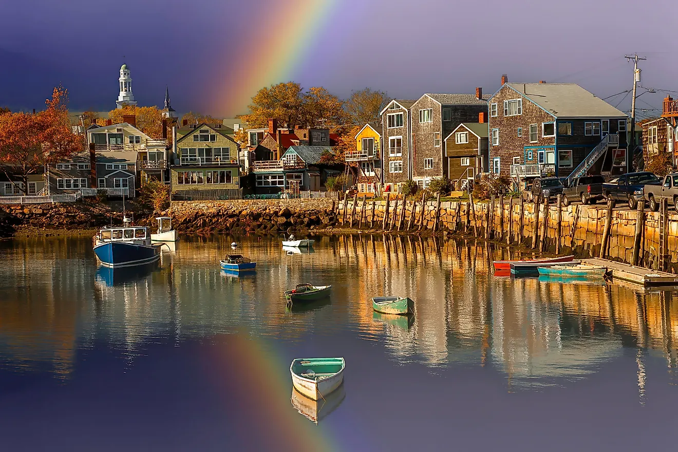
The capital of Kansas, Topeka, is situated in the northeastern part of the state. However, the state's most populous city is Wichita, home to nearly 400,000 residents. Wichita is located in the south-central region of Kansas, where it lies at the meeting point of the Arkansas and Little Arkansas Rivers.
The Wichita, Pawnee, Osage, Kiowa, Kanza, Comanche, Cheyenne, and Arapaho tribes are all native to present-day Kansas, with historical records revealing that these tribes had many thriving communities throughout the state before European settlement. In 1803, The United States obtained the territory of Kansas through the Louisiana Purchase agreement with France. The Union later admitted it as a state on January 29th, 1861, making it the 34th state.
Area
Spanning an area of 82,278 square miles (213,099 square kilometers), Kansas is the 15th largest state. Comparatively, it is nearly the same size as the United Kingdom and is about three times smaller than Texas.
Bodies of Water
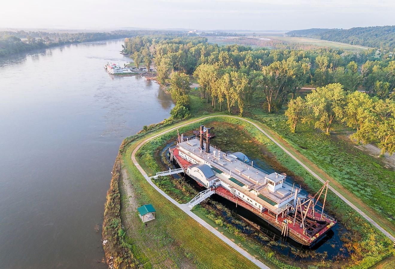
Some of the major rivers that flow through Kansas include the Missouri River, which forms the northern boundary of the Kansas-Missouri border; the Kansas (Kaw) River, which runs through the northeastern part of the state; and the Arkansas River, which flows from Colorado through southern Kansas before continuing into Oklahoma. Natural lakes in Kansas are rare, the largest being McPherson County’s Lake Inman, sitting on private property and covering about 160 acres. Kansas’s largest reservoir, however, is Milford Lake, near Junction City, and covers approximately 15,709 acres.
Geographical Characteristics
The majority of Kansas is flat, covered by grasslands and prairies. However, there are some forests and hills to the northeast and points of higher elevation to the west due to the Great Plains. Generally speaking, the state can be divided into three regions.
Dissected Till Plains
The state’s northeastern portion features rolling hills with forests and pastures, shaped by wind and glaciers over 400,000 years ago. Cedars, oaks, maples, and walnut trees are commonly found throughout this region.
Southeastern Plains
Southern Kansas is home to the Southeastern Plains, characterized by expansive grassy landscapes, adorned with Indian grass, switchgrass, bluestem, and other native grasses. This region also encompasses the Osage Plains, known for their eroded shale and limestone, and the Flint Hills, which boast dense, tallgrass prairies.
Great Plains
The Great Plains spans the western side of Kansas, which begins to rise in elevation as they expand west towards the Rocky Mountains. Within this section, near the Colorado border, lies Mount Sunflower, the highest point in Kansas at 4,039 feet (1,231 meters).
Counties Map

The State of Kansas is divided into 105 counties. In alphabetical order, these counties are: Allen, Anderson, Atchison, Barber, Barton, Bourbon, Brown, Butler, Chase, Chautauqua, Cherokee, Cheyenne, Clark, Clay, Cloud, Coffey, Comanche, Cowley, Crawford, Decatur, Dickinson, Doniphan, Douglas, Edwards, Elk, Ellis, Ellsworth, Finney, Ford, Franklin, Geary, Gove, Graham, Grant, Gray, Greeley, Greenwood, Hamilton, Harper, Harvey, Haskell, Hodgeman, Jackson, Jefferson, Jewell, Johnson, Kearny, Kingman, Kiowa, Labette, Lane, Leavenworth, Lincoln, Linn, Logan, Lyon, Marion, Marshall, McPherson, Meade, Miami, Mitchell, Montgomery, Morris, Morton, Nemaha, Neosho, Ness, Norton, Osage, Osborne, Ottawa, Pawnee, Phillips, Pottawatomie, Pratt, Rawlins, Reno, Republic, Rice, Riley, Rooks, Rush, Russell, Saline, Scott, Sedgwick, Seward, Shawnee, Sheridan, Sherman, Smith, Stafford, Stanton, Stevens, Sumner, Thomas, Trego, Wabaunsee, Wallace, Washington, Wichita, Wilson, Woodson, and Wyandotte.
With an area of 213,100 sq. km, the State of Kansas is the 15th largest and the 34th most populous state in the USA. Located at the heart of Shawnee County, along the Kansas River, in the northeastern part of the state is Topeka – the capital city of Kansas. Situated in the Sedgwick County, along the Arkansas River, in the south-central part of the state is Wichita – the largest city of Kansas. It also serves as the cultural, media, trading, and industrial hub of Kansas.
Where is Kansas?

The Kansas is located in the midwestern United States and also happens to be home geographic center of United States about two miles northwest of Lebanon, Kansas. It borders Nebraska to the north, Missouri to the east, Oklahoma to the south, and Colorado to the west. It's one of only four states that straddle both sides of the Mississippi River (the others being Iowa, Missouri, and Tennessee). The state is divided into 105 counties, and its capital city is Topeka.
Kansas has an area of about 213,000 square kilometers and a population
Regional Maps: Map of North America
Outline Map of Kansas

The above blank map represents the State of Kansas, located in the central region of the United States. The above map can be downloaded, printed and used for geography education purposes like map-pointing and coloring activities.

The above outline map represents the State of Kansas, located in the central region of the United States.
Key Facts
| Legal Name | State of Kansas |
|---|---|
| ISO 3166 Code | US-KS |
| Capital City | Topeka |
| Largest City |
Wichita (539,064) |
This page was last updated on July 19, 2024