Maps of Iowa

Iowa, a Midwestern state in the United States, is framed by the Mississippi River to the east and the Missouri and Big Sioux Rivers to the west. It shares its borders with Minnesota to the north, Missouri to the south, Nebraska and South Dakota to the west, and Illinois and Wisconsin to the east. The state spans a total area of about 56,273 mi2 (145,746 km2).
Iowa, from northwest to southwest, is divisible into nine primary geographic regions:
Northwest Iowa Plains The Northwest Iowa Plains are characterized by their flat to gently rolling landscape, primarily composed of Quaternary glacial deposits. This region is notable for its fertile soils, which support extensive agriculture. The plains extend towards the west until they meet the Missouri River Alluvial Plain.
Des Moines Lobe The Des Moines Lobe occupies the north-central part of Iowa, with features left by the last glaciation, like the prairie potholes – depressions formed by the melting of glacial ice. The terrain here is undulating with numerous small lakes and wetlands, a reminder of the region's glacial history.
Paleozoic Plateau Also known as the Driftless Area, the Paleozoic Plateau in northeastern Iowa escaped the flattening effects of the last glaciation. This region is marked by rugged terrain, with steep bluffs, deep river valleys, and limestone outcrops. It is here that Iowa's highest point, Hawkeye Point, is located, reaching an elevation of 1,670 feet (509 meters).
Mississippi River Alluvial Plain Bordering the mighty Mississippi, this alluvial plain in the southeast features a landscape shaped by the river's meandering course. Characterized by its oxbow lakes and wetlands, it is the lowest point in Iowa, with elevations dipping to just above the level of the Mississippi River.
East-Central Iowa Drift Plain East-Central Iowa's Drift Plain is known for its gently rolling hills formed by glacial drift, which gives the region its name. It is a fertile area that extends towards the central part of the state and is crisscrossed by several rivers and streams.
Iowa Cedar Lowland The Iowa Cedar Lowland, located in the east-central portion of the state, is a flat to gently sloping region. It is distinguished by its alluvial soils and the Cedar River, which flows through the heart of the lowland, contributing to its agricultural suitability.
Southern Iowa Drift Plain The Southern Iowa Drift Plain epitomizes the quintessential Iowan landscape with its rolling hills and rich farmlands. This region, too, owes its formation to glacial activity, with thick deposits of glacial drift shaping the terrain.
Loess Hills The Loess Hills in western Iowa present a unique landscape formed from wind-deposited silt. These hills run parallel to the Missouri River and are recognized for their steep slopes and significant depth of loess deposits, which can exceed 60 meters (200 feet).
Missouri River Alluvial Plain Bordering the Missouri River, this alluvial plain is the flattest region in Iowa, with a landscape starkly different from the state's otherwise rolling terrains. It comprises fertile lands that are subject to the river's flooding and reshaping forces.
Major Bodies of Water Iowa's major bodies of water include the Mississippi and Missouri Rivers that define its eastern and western borders, respectively. The state also features significant inland lakes such as the Iowa Great Lakes, formed by glacial activity, and various rivers like the Cedar and Des Moines that traverse its plains, supporting both the agricultural lands and the natural ecosystems.
Counties Map

The State of Iowa is divided into 99 counties. In alphabetical order, these counties are: Adair, Adams, Allamakee, Appanoose, Audubon, Benton, Black Hawk, Boone, Bremer, Buchanan, Buena Vista, Butler, Calhoun, Carroll, Cass, Cedar, Cerro Gordo, Cherokee, Chickasaw, Clarke, Clay, Clayton, Clinton, Crawford, Dallas, Davis, Decatur, Delaware, Des Moines, Dickinson, Dubuque, Emmet, Fayette, Floyd, Franklin, Fremont, Greene, Grundy, Guthrie, Hamilton, Hancock, Hardin, Harrison, Henry, Howard, Humboldt, Ida, Iowa County, Jackson, Jasper, Jefferson, Johnson, Jones, Keokuk, Kossuth, Lee, Linn, Louisa, Lucas, Lyon, Madison, Mahaska, Marion, Marshall, Mills, Mitchell, Monona, Monroe, Montgomery, Muscatine, Obrien, Osceola, Page, Palo Alto, Plymouth, Pocahontas, Polk, Pottawattamie, Poweshiek, Ringgold, Sac, Scott, Shelby, Sioux, Story, Tama, Taylor, Union, Van Buren, Wapello, Warren, Washington, Wayne, Webster, Winnebago, Winneshiek, Woodbury, Worth, and Wright.
With an area of 145,743.8 sq. km, Iowa is the 26th largest and the 30th most populous state in the USA. Located in the south-central part of the state, at the confluence of Des Moines and Raccoon River is, Des Moines – the capital, the largest and the most populous city of Iowa. The city serves as a major communication hub and is also home to numerous insurance and financial services companies.
Where is Iowa?
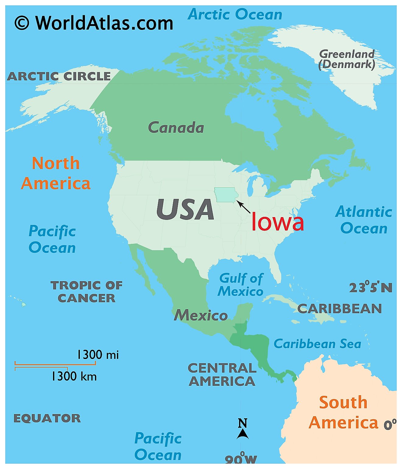
The State of Iowa is located in the north-central (Midwest) region of the United States. Iowa is bordered by the state of Minnesota in the north; by Wisconsin in the northeast; by Illinois in the east and southeast; by Missouri in the south; by Nebraska in the west and by South Dakota in the northwest. It is also bounded by the Mississippi River in the east and the Missouri River along with its tributary – the Big Sioux River in the west.
Regional Maps: Map of North America
Outline Map of Iowa
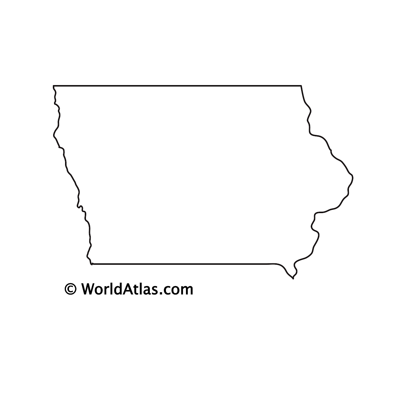
The above blank map represents the State of Iowa, located in the north-central (Midwest) region of the United States. The above map can be downloaded, printed and used for geography education purposes like map-pointing and coloring activities.
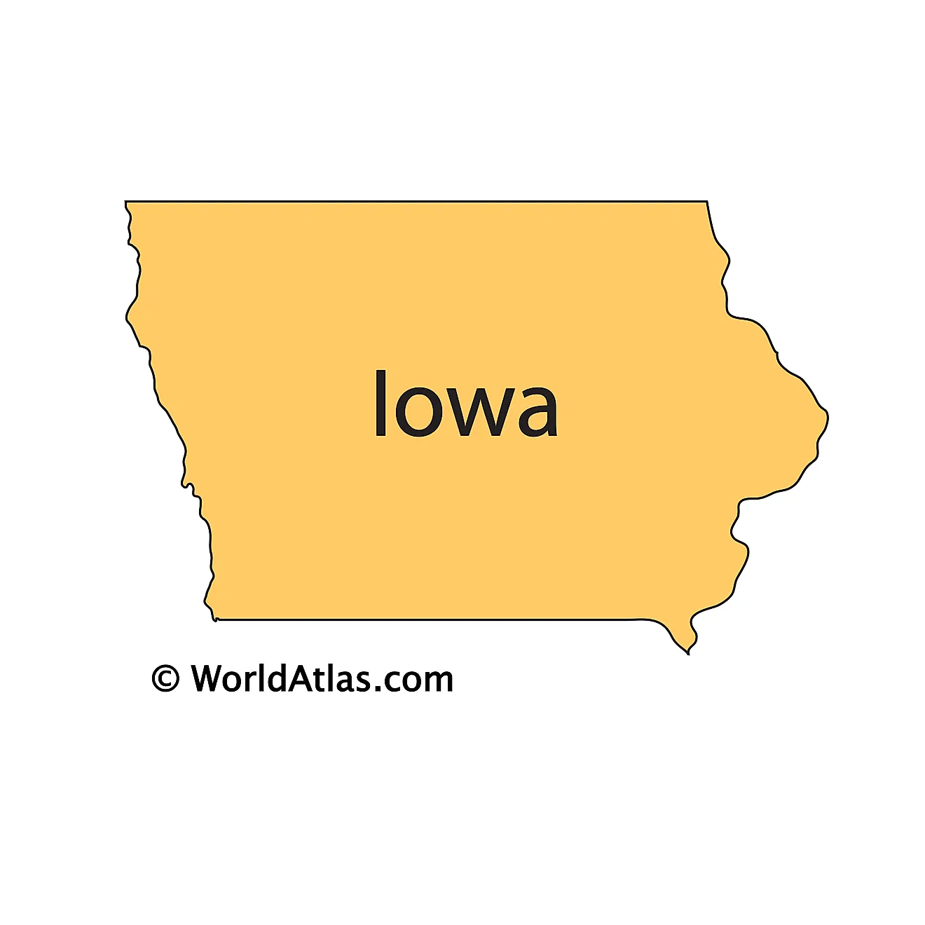
The above outline map represents the State of Iowa, located in the north-central (Midwest) region of the United States. It is the only state in the U.S. that has two parallel rivers (Mississippi and Missouri) delineating its borders.
Key Facts
| Legal Name | State of Iowa |
|---|---|
| ISO 3166 Code | US-IA |
| Capital City | Des Moines |
| Largest City |
Des Moines (566,004) |
This page was last updated on January 18, 2024
