Maps of North Carolina
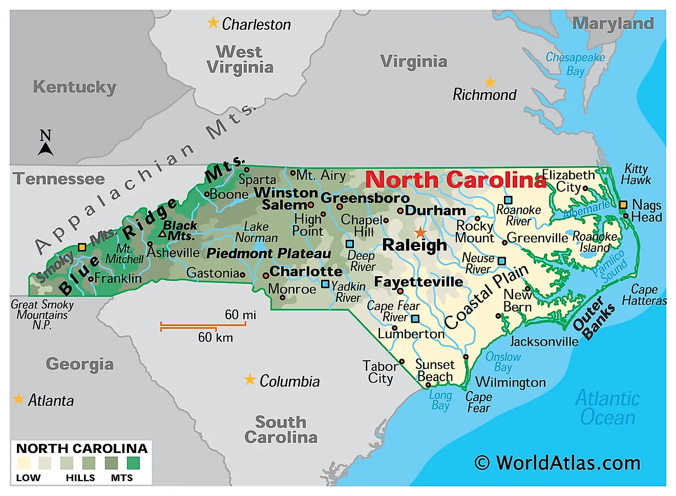
North Carolina is a state in the southeastern United States. It borders Virginia to the north, the Atlantic Ocean to the east, South Carolina and Georgia to the south, and Tennessee to the west. The state covers a total area of approximately 53,819 square miles (139,390 square kilometers), ranking 28th in size, and with roughly 11 million residents it is the ninth most populous.

Few states in the eastern half of the country cover as much geographic ground. North Carolina stretches roughly 500 miles from the Outer Banks to the Tennessee line — the greatest east-west extent of any state east of the Mississippi — and climbs from sea level to 6,684 feet along the way. A single day's drive crosses barrier island, tidal sound, flat pine savanna, rolling clay hills, and finally the highest mountains in eastern North America.
Where Is North Carolina?

The state measures about 500 miles east to west and only 150 miles north to south, giving it a long, narrow profile. Its northern boundary with Virginia is a surveyed line, its southern boundary with South Carolina a stepped series of surveyed segments, and its western boundary with Tennessee follows the crest of the Appalachian ridgeline — one of the few state borders in the country defined by a mountain divide.
Charlotte, in the southern Piedmont, is the largest city and the second largest banking center in the United States. Raleigh is the capital, anchoring the Research Triangle alongside Durham and Chapel Hill. The state is divided into 100 counties — more than any other state except Texas and Georgia.
The Blue Ridge Mountains

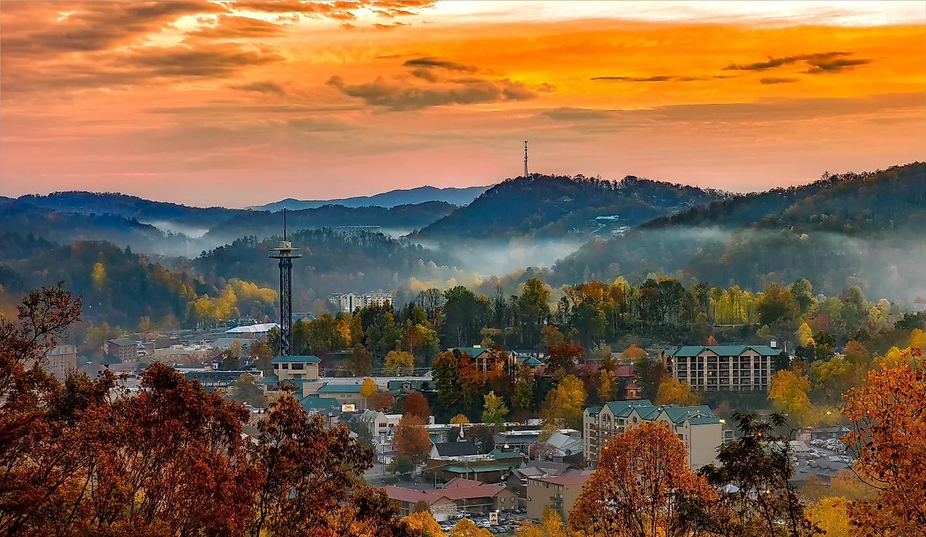
The Blue Ridge Mountains, part of the Appalachian chain, occupy the western fifth of the state. This is the highest and most rugged terrain in the eastern United States: North Carolina contains 43 peaks above 6,000 feet, more than any other state east of the Mississippi.
Mount Mitchell, in the Black Mountains near Burnsville, tops out at 6,684 feet (2,037 meters) — the highest point in eastern North America. Its summit supports a spruce-fir forest that is effectively an island of boreal habitat left stranded when the climate warmed after the last Ice Age. Mount Mitchell became North Carolina's first state park in 1915, and it holds the state's record low temperature of -34 °F, set in January 1985.

The region's blue haze, which gives the range its name, comes from isoprene released by the dense forest canopy, a compound that scatters light toward the blue end of the spectrum. Within the Blue Ridge sit several distinct subranges: the Great Smoky Mountains along the Tennessee line, protected within Great Smoky Mountains National Park; the Black Mountains; the Nantahala and Pisgah ranges; and Grandfather Mountain. Linville Gorge, sometimes called the Grand Canyon of the East, drops nearly 2,000 feet and is one of the deepest gorges in the eastern United States.

The Blue Ridge Parkway runs 469 miles along the crest from Virginia to the Smokies. Asheville, set in the broad valley of the French Broad River, is the region's principal city.
The Piedmont
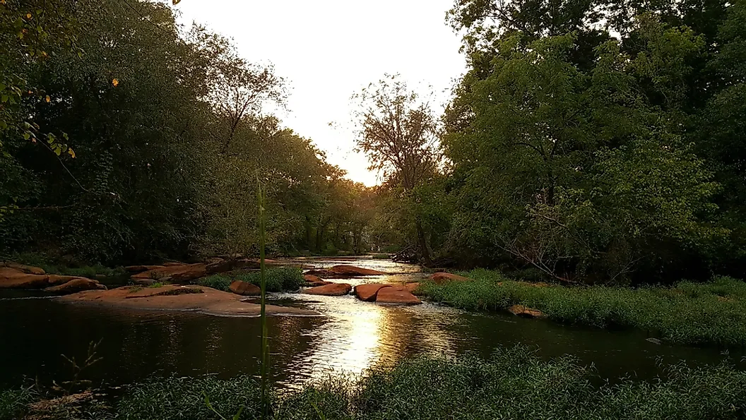
East of the mountains lies the Piedmont, a worn-down plateau of rolling hills and red clay soils that descends gradually from about 1,500 feet at the mountain foothills to roughly 300 feet at its eastern edge. The name comes from the French for "foot of the mountain," and North Carolina's Piedmont is often simply called the foothills.
This is the state's population core. The Piedmont Crescent — the urban corridor linking Charlotte, the Piedmont Triad of Greensboro, Winston-Salem, and High Point, and the Research Triangle — holds well over two-thirds of North Carolina's residents. The underlying rock is ancient crystalline material, granite and gneiss and schist, the deeply eroded roots of mountains far older than the present Appalachians.

The Uwharrie Mountains, near the center of the state, are the most distinctive feature of the Piedmont. Now rising only 800 to 1,000 feet, they are the state's easternmost and lowest mountain range, and among the oldest in North America — formed as a chain of volcanic islands some 500 to 600 million years ago, and once believed to have stood as high as the Rockies before hundreds of millions of years of erosion wore them down.
The Piedmont's eastern edge is marked by the Fall Line, the boundary where hard crystalline bedrock gives way to the soft sediments of the Coastal Plain. Rivers drop over rapids and shoals at this contact, which historically marked both the limit of navigation from the sea and a ready source of water power — the reason so many southeastern cities grew up along it.
The Coastal Plain
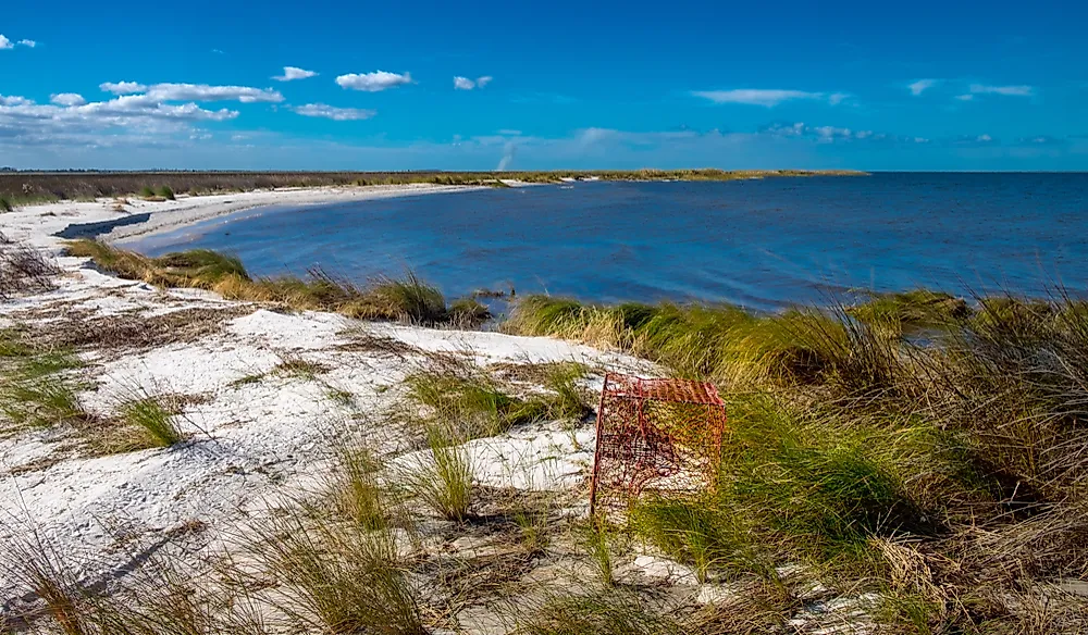
The Coastal Plain is the largest of the three regions, covering roughly 45% of the state — more than either the Piedmont or the mountains. It is almost entirely flat, sloping imperceptibly from the Fall Line to the sea, and is conventionally split into two parts: the Inner Coastal Plain of sandy farmland, and the Outer Coastal Plain or Tidewater, where the land is barely above sea level and dissolves into swamp, marsh, and open water.
Between the Piedmont and the Inner Coastal Plain runs a transitional belt called the Sandhills — a band of deep, droughty sand that marks an ancient shoreline, and the ground that supports the state's longleaf pine country around Southern Pines and Pinehurst.
The Tidewater holds two of the most significant estuaries in the country. Pamlico Sound and Albemarle Sound are the two largest landlocked sounds in the United States, and Pamlico alone covers more area than the state of Connecticut. Together with the smaller Currituck, Croatan, Roanoke, and Bogue sounds, they form the second largest estuarine system in the country after Chesapeake Bay.

In the far northeast, the Great Dismal Swamp straddles the Virginia line — a vast peat bog whose tannin-stained water was once prized on sailing ships because it resisted spoiling. The region's peculiar pocosins, raised evergreen shrub bogs found almost nowhere else, and its Carolina bays, thousands of elliptical depressions all aligned northwest to southeast, are among the more unusual landforms in the eastern United States. North Carolina's lowest point is sea level along this coast.
The Outer Banks and the Coast

The Outer Banks are a chain of narrow barrier islands running roughly 200 miles along the coast. What sets them apart from other American barrier islands is distance: in places they lie up to 30 miles offshore, far enough that the sounds behind them function as inland seas rather than lagoons.
North Carolina's general coastline measures about 301 miles, but counting every sound, estuary, and island the tidal shoreline runs to roughly 3,375 miles. Three capes punctuate the chain — Cape Hatteras, Cape Lookout, and Cape Fear — each formed where sand accumulates at the outer bend of the islands.

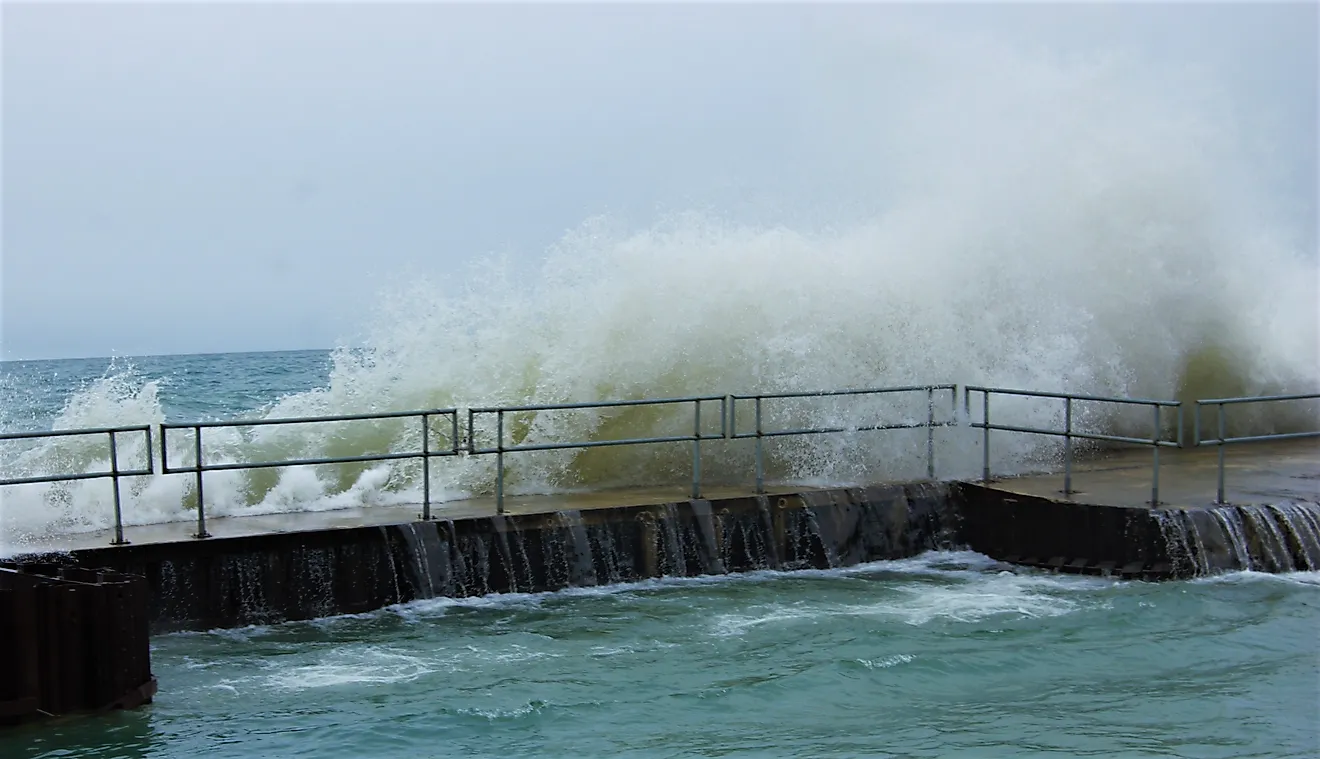
Off Cape Hatteras, the warm Gulf Stream flowing north collides with the cold Labrador Current flowing south, and the resulting turbulence has built Diamond Shoals — shifting sandbars extending miles out to sea. More than a thousand ships have been lost along this coast, earning it the name Graveyard of the Atlantic. The islands migrate constantly under storm and current, and inlets open and close within a single hurricane season.
Rivers

North Carolina's rivers flow in three different directions, divided by the Eastern Continental Divide, which runs along the Blue Ridge crest. Rivers west of the divide — the French Broad, Little Tennessee, Hiwassee, and New — flow north and west into the Tennessee and ultimately the Mississippi. The French Broad and the New are both unusual in flowing northward, and the New is often described as among the oldest rivers in the world.
East of the divide, rivers split again. Some run southeast across the Piedmont into South Carolina: the Catawba, which becomes the Wateree, and the Yadkin, which becomes the Pee Dee. Others flow east across the Coastal Plain to the Atlantic: the Roanoke, the Tar, which becomes the Pamlico, the Neuse, and the Cape Fear.
The Cape Fear is the longest river entirely within the state at about 200 miles, and the only one flowing directly into the Atlantic rather than into a sound. That distinction made Wilmington, on its banks, the state's only major deepwater port.
Lakes and Reservoirs

Nearly all of North Carolina's large lakes are artificial. Lake Norman, northwest of Charlotte, is the largest man-made lake lying entirely within the state, covering 32,510 acres with 520 miles of shoreline. Duke Power created it between 1959 and 1964 by damming the Catawba River at Cowans Ford, and its size has earned it the nickname "the inland sea."
Kerr Lake, on the Roanoke River, is larger still at roughly 50,000 acres, but it straddles the Virginia border and so is not wholly a North Carolina lake. Other major reservoirs include High Rock, Jordan, Falls, and Fontana, the last set along the southern edge of Great Smoky Mountains National Park.
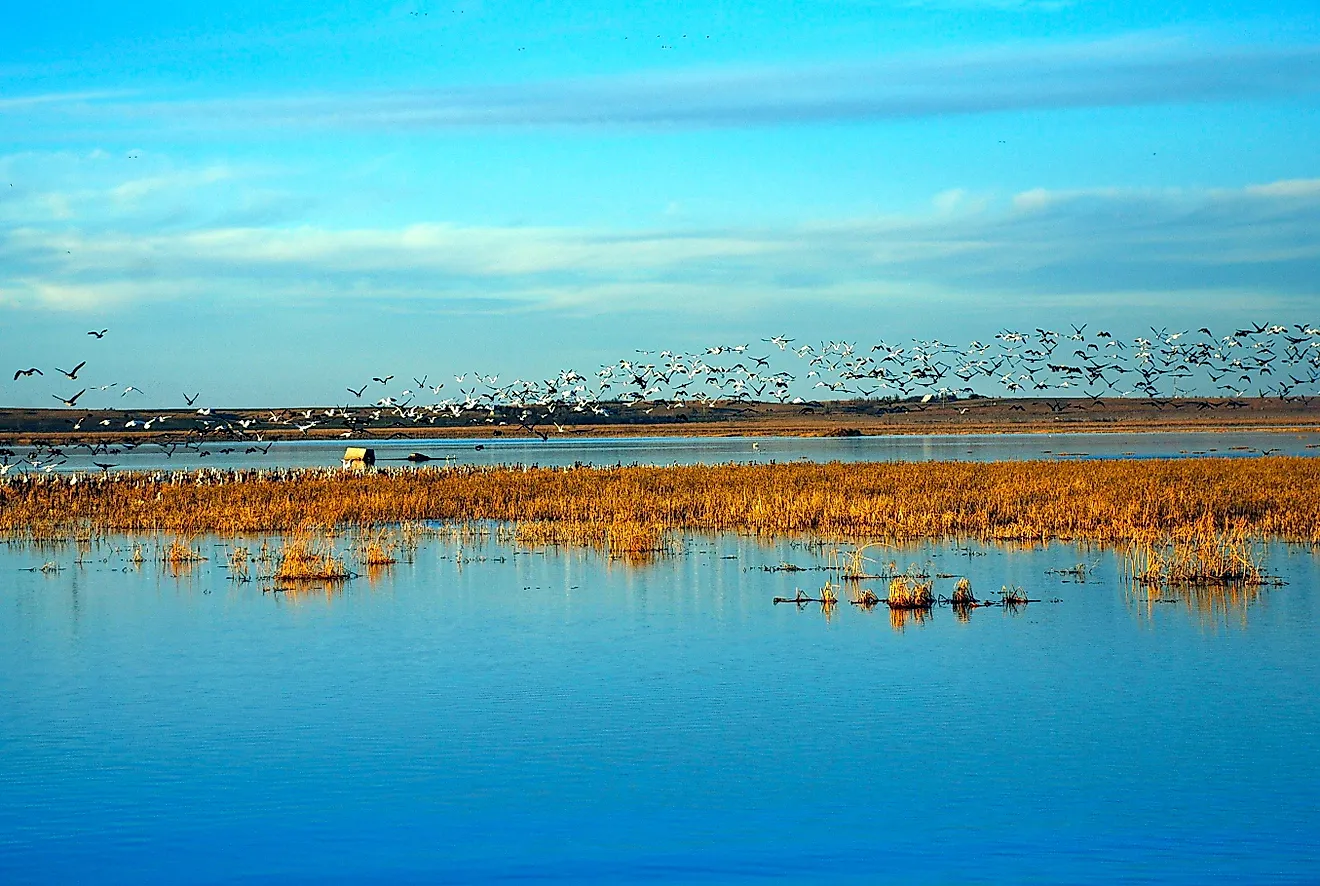
The state's largest natural lake is Lake Mattamuskeet, on the Albemarle-Pamlico Peninsula, spanning about 40,000 acres — larger than Lake Norman by surface area, though it averages only two to three feet deep. It lies entirely within a national wildlife refuge and draws enormous concentrations of wintering waterfowl.
Climate

North Carolina has a humid subtropical climate across most of its area, with hot summers and mild winters, shifting to a cooler mountain climate at higher elevations in the west. Elevation matters far more than latitude here: January averages run near 30 °F in the mountains and in the mid-40s on the Coastal Plain, while August averages reach the 90s in the east but stay near 65 °F on the high peaks.
The state averages about 44 inches of rainfall a year and 5 inches of snow, though both figures conceal enormous variation. The southwestern mountains around Highlands and Rosman receive over 80 inches annually — the wettest place in the continental United States outside the Pacific Northwest — while the Asheville basin, sheltered in a rain shadow, gets under 40.
Hurricanes are the defining hazard. The state's position, jutting east into the Atlantic, puts it directly in the path of storms tracking up the coast, and Cape Hatteras has been struck more often than almost anywhere else on the eastern seaboard. Inland flooding from these systems now causes more damage than coastal wind, as Hurricanes Floyd, Matthew, Florence, and Helene each demonstrated.
North Carolina Geography at a Glance
| Feature | Detail |
|---|---|
| Total area | Approx. 53,819 sq mi (139,390 sq km) — 28th largest state |
| Land / water | 48,618 sq mi land; 5,201 sq mi water |
| Dimensions | Approx. 500 mi east-west; 150 mi north-south |
| Highest point | Mount Mitchell, 6,684 ft (2,037 m) — highest in eastern North America |
| Lowest point | Atlantic Ocean, sea level |
| Bordering states | Virginia, South Carolina, Georgia, Tennessee |
| Coastline | Approx. 301 mi general; approx. 3,375 mi tidal shoreline |
| Major regions | Three: Blue Ridge Mountains, Piedmont, Coastal Plain (the largest, at about 45%) |
| Largest natural lake | Lake Mattamuskeet, approx. 40,000 acres |
| Largest man-made lake in state | Lake Norman, 32,510 acres |
| Counties | 100 |
| Capital / largest city | Raleigh / Charlotte |
Counties Map
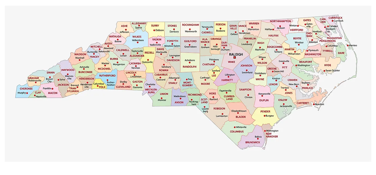
The State of North Carolina is divided into 100 counties. In alphabetical order, these counties are: Alamance, Alexander, Alleghany, Anson, Ashe, Avery, Beaufort, Bertie, Bladen, Brunswick, Buncombe, Burke, Cabarrus, Caldwell, Camden, Carteret, Caswell, Catawba, Chatham, Cherokee, Chowan, Clay, Cleveland, Columbus, Craven, Cumberland, Currituck, Dare, Davidson, Davie, Duplin, Durham, Edgecombe, Forsyth, Franklin, Gaston, Gates, Graham, Granville, Greene, Guilford, Halifax, Harnett, Haywood, Henderson, Hertford, Hoke, Hyde, Iredell, Jackson, Johnston, Jones, Lee, Lenoir, Lincoln, Macon, Madison, Martin, McDowell, Mecklenburg, Mitchell, Montgomery, Moore, Nash, New Hanover, Northampton, Onslow, Orange, Pamlico, Pasquotank, Pender, Perquimans, Person, Pitt, Polk, Randolph, Richmond, Robeson, Rockingham, Rowan, Rutherford, Sampson, Scotland, Stanly, Stokes, Surry, Swain, Transylvania, Tyrrell, Union, Vance, Wake, Warren, Washington, Watauga, Wayne, Wilkes, Wilson, Yadkin, and Yancey.
With an area of 139,390 sq. km, the State of North Carolina is the 28th largest and the 9th most populous state in the USA. Located in Wake County in the central part of the state is Raleigh – the capital city of North Carolina. Raleigh is also one of the three anchors of the Research Triangle, along with Durham and Chapel Hill, a region named for its three major research universities. At its center lies Research Triangle Park, the largest research park in the United States, covering 7,000 acres across Durham and Wake counties. Situated in the Piedmont region, in Mecklenburg County, is Charlotte – the most populous city of North Carolina. It serves as the economic, transportation, and cultural center of the Charlotte Metropolitan Area, and is the second-largest banking center in the United States.
Where is North Carolina?
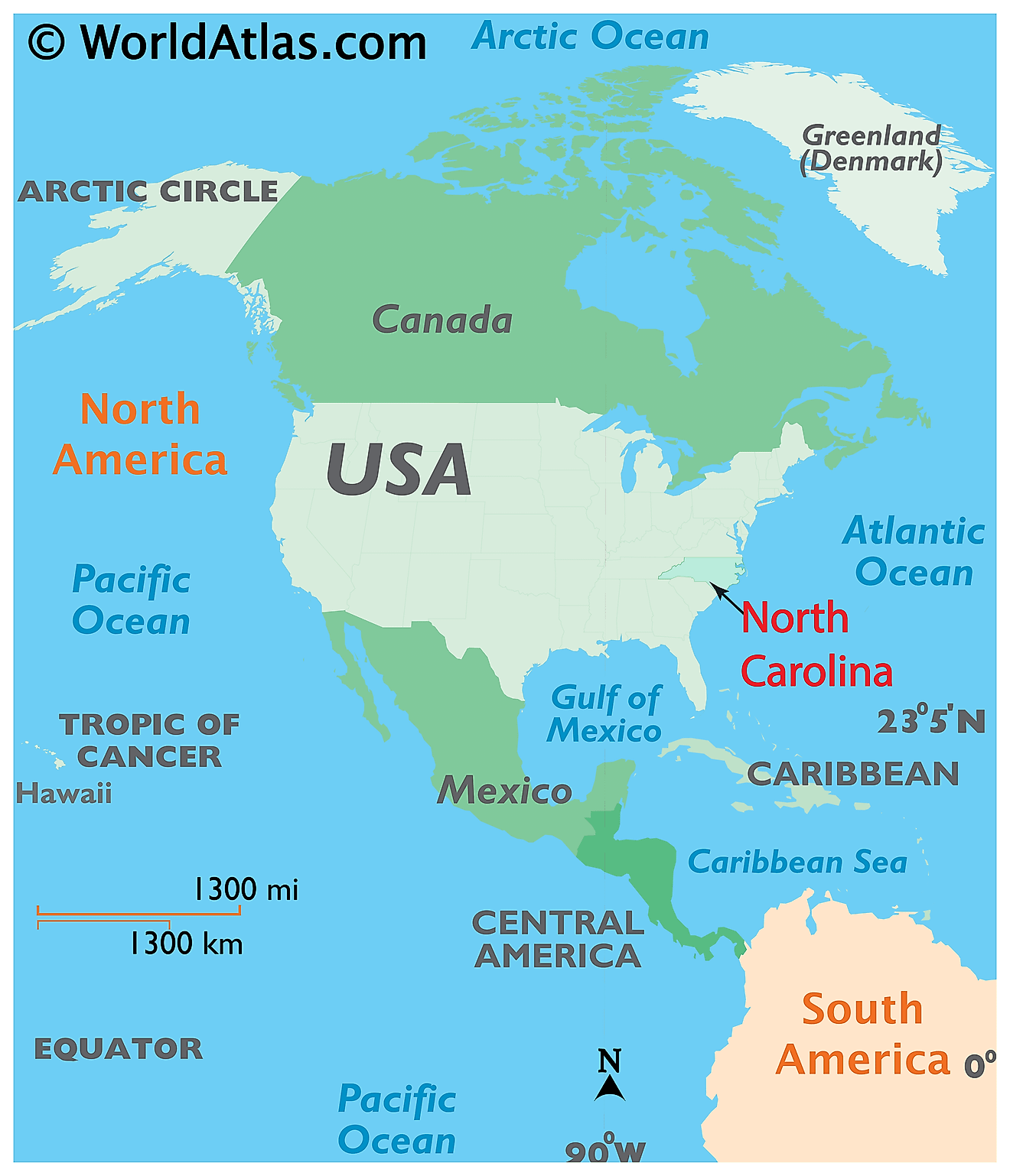
The State of North Carolina is located in the south-eastern region of the United States. North Carolina is bordered by the state of South Carolina in the south; by Georgia in the southwest; by Tennessee in the west; and by Virginia in the north. It is bounded by the Atlantic Ocean in the east.
Regional Maps: Map of North America
Outline Map of North Carolina
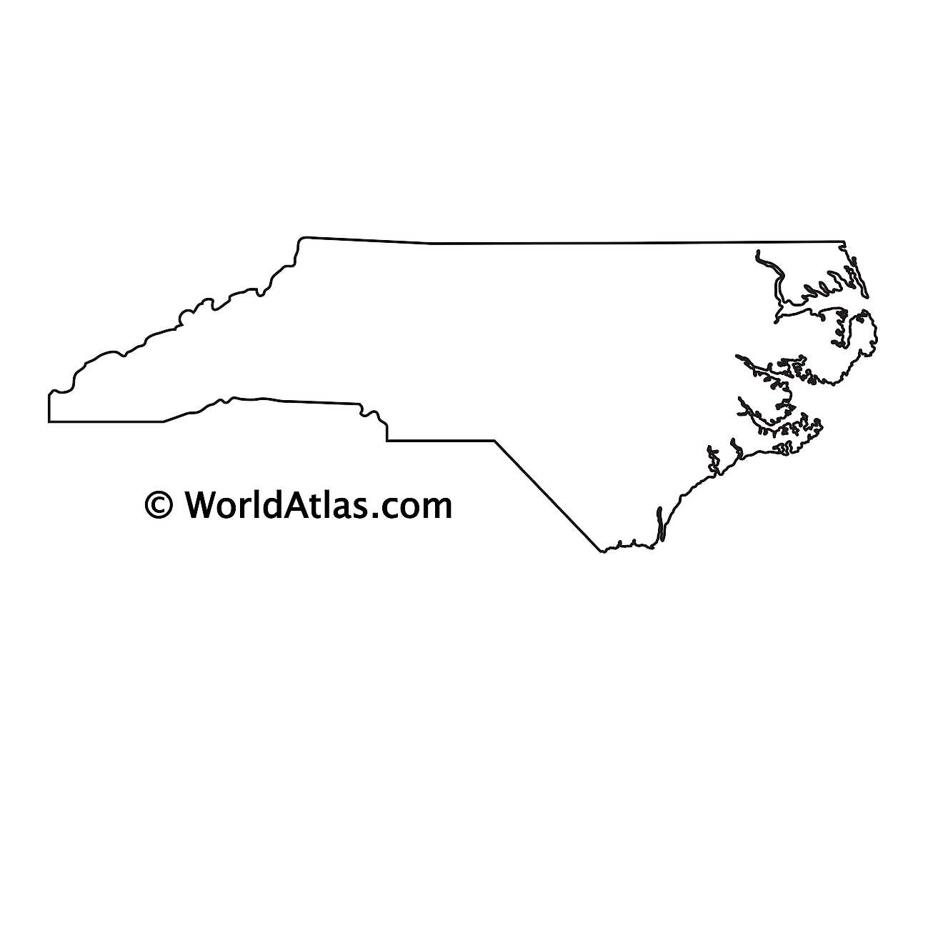
The above blank map represents the State of North Carolina, located in the south-eastern region of the United States. The above map can be downloaded, printed and used for geography education purposes like map-pointing and coloring activities.
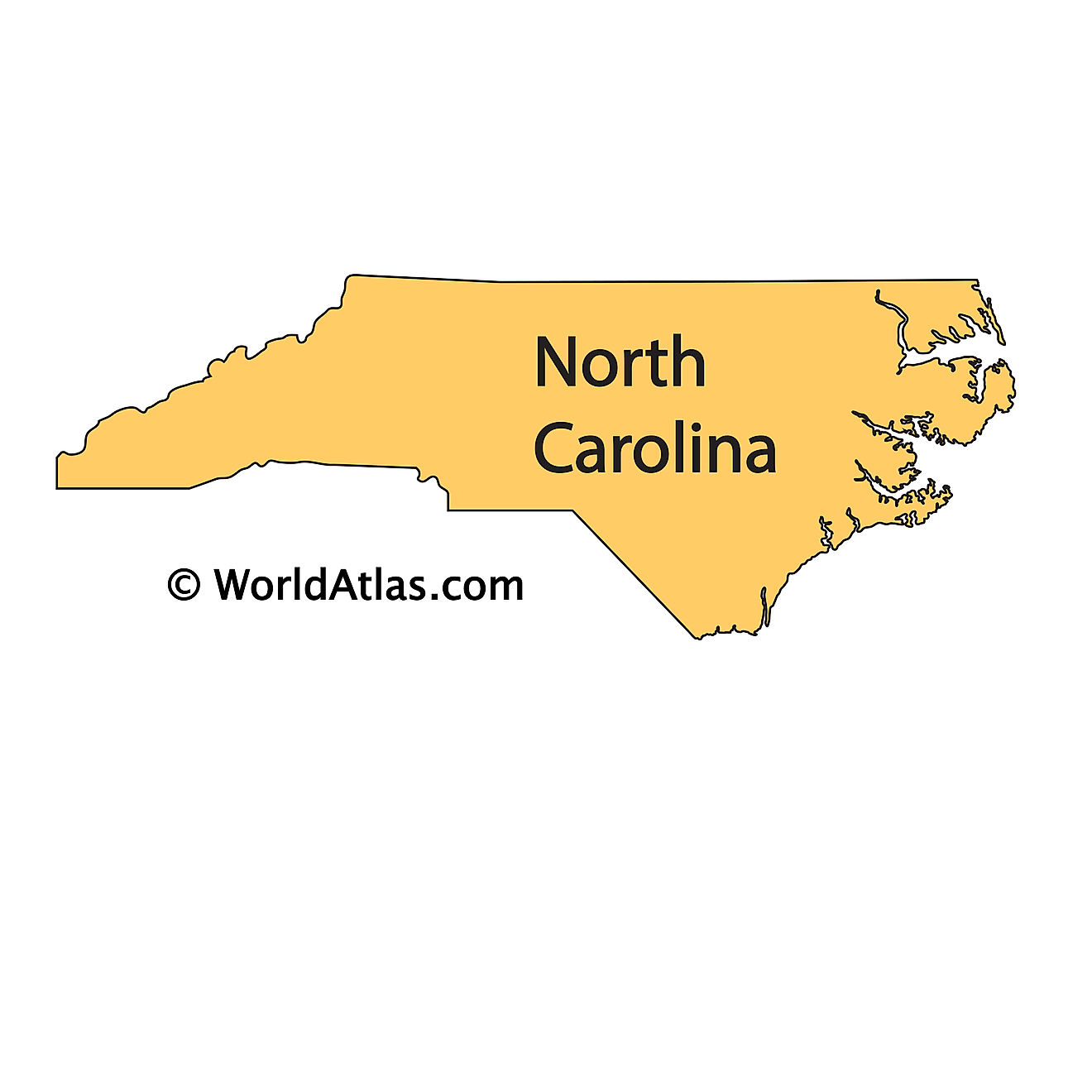
The above outline map represents the State of North Carolina, located in the south-eastern region of the United States.
Key Facts
| Legal Name | State of North Carolina |
|---|---|
| ISO 3166 Code | US-NC |
| Capital City | Raleigh |
| Major Cities |
|
This page was last updated on September 17, 2026