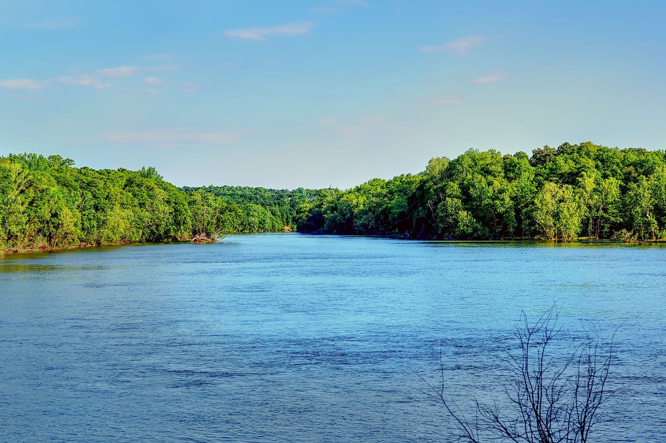
Catawba River
The Catawba River is a 350 km long river that originates on the slopes of the Blue Ridge Mountains in McDowell County in western North Carolina. It eventually flows into northern South Carolina, where it finally empties into the Lake Wateree reservoir. The river has been named after the indigenous Catawba tribe, which initially resided along its banks. The Catawba River winds its way through some of the most beautiful scenery in the Carolinas, mixing between rural and urban settings.
Geography Of Catawba River

The Catawba River originates in the Blue Ridge Mountains in North Carolina's McDowell County, approximately 30 km east of the city of Asheville. The river flows over two waterfalls, namely Catawba Falls and Upper Catawba Falls, before emptying into Lake James and Linville River. The river then flows past the northern portion of the city of Morganton and continues in the southeast direction flowing into Lake Rhodhiss and Lake Hickory. From here, the river flows into Lake Norman. Exiting the reservoir in the south, the Catawba River flows past the western portion of the city of Charlotte into the Mountain Island Lake and Lake Wylie reservoirs.
It exits from the Lake Wylie reservoir about 15 km south of the boundary between North and South Carolina. The Catawba River continues into the northern portion of South Carolina. After passing the city of Rock Hills, it flows through the Fishing Creek Reservoir and finally empties into Lake Wateree Reservoir, close to the town of Great Falls, about 50 km northeast of the state capital Columbia. After its confluence with the Wateree Creek, the Catawba River is then referred to as the Wateree River. At present, the Catawba River Basin is the state's most densely populated river basin. Within the Catawba River Basin, nearly two million people in nine North Carolina counties and three South Carolina counties rely on the Catawba River for their drinking water supply.
Threats To The Catawba River

As the population of the Catawba River Basin has grown, so have environmental issues. However, as the Catawba River was dammed, the severity of these problems grew. American Rivers, an organization dedicated to protecting and restoring rivers and streams in the United States, named the Catawba River "the most endangered river" in 2008. Coal-fired power plants, in particular, have a negative impact on the river due to coal ash and mercury contamination. The ash is left as residue after coal-fired power plants burn the coal to generate energy. This ash is then piled up in massive heaps, and are dumped close to water sources, ultimately polluting the water bodies.
When arsenic, lead, mercury, and selenium are leached into drinking water, they can increase the risk of cancer and congenital abnormalities, among other health issues. The river is also threatened by nuclear power plants, two of which are run by Duke Energy at Catawba Nuclear Station and McGuire Nuclear Station. The Catawba River and the surrounding area could be in grave danger in the case of a nuclear accident. Along the Catawba River, development has also been a serious issue. When land is cleared by developers, sediment rushes into the river, suffocating fish, damaging their habitat, and preventing native plant life in the river from receiving light.


