Why The Tennessee River Flows South And Then Turns North
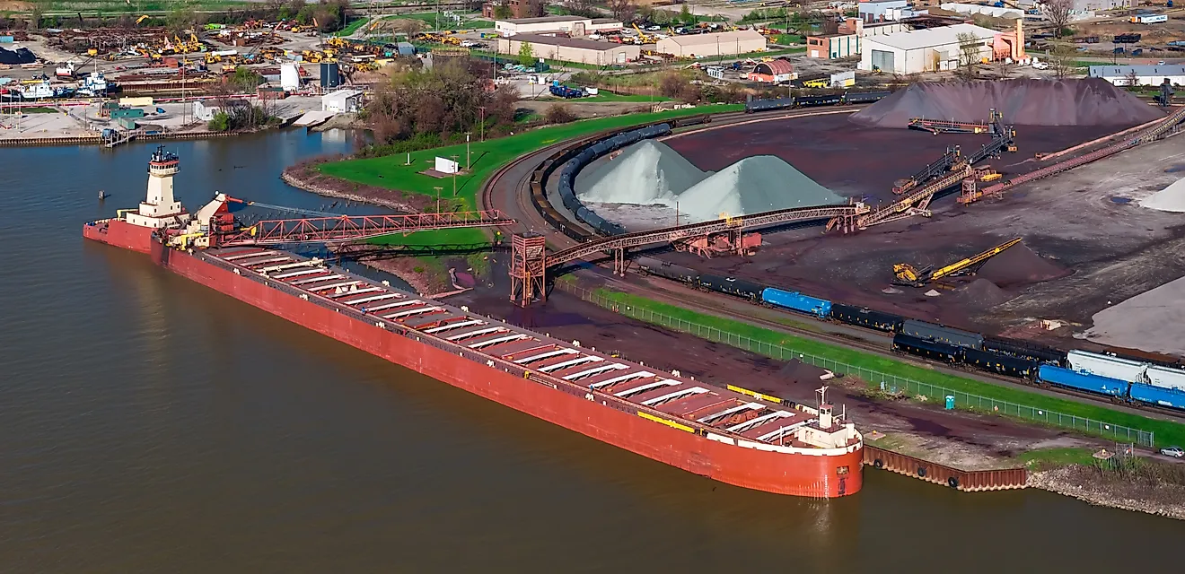
On a map, the Tennessee River forms a giant U across the South. It leaves Knoxville flowing southwest, toward Alabama and the Gulf of Mexico, and holds that heading for roughly 300 miles. Then the river bends away and runs north, crossing Tennessee a second time and passing through western Kentucky before it empties into the Ohio River at Paducah. Barges carrying 45 to 50 million tons of cargo a year follow the same long loop.
The explanation lies in the rock beneath the river and in a change to its course millions of years ago, which geologists have argued about since the 1890s. Some of the clues still swim in the creeks that feed it.
A Stream Capture About 10 Million Years Ago Likely Diverted It From the Gulf

Geologists generally consider the river's route the product of a stream capture that diverted the upper Tennessee from a more direct path to the Gulf, an idea they have debated for more than a century. In 1894, Hayes and Campbell proposed that the Tennessee had once continued southwest past Chattanooga and reached the Gulf through the Coosa River, citing the shape of the land and mollusks shared between the two drainages, and the geologist Douglas Johnson replied in 1905 that mollusks could have traveled between rivers on the feet of birds.
In 2018, Colorado State University geologist Sean Gallen published modeling that put the change at about 10 million years ago, when the river diverted from a more direct southerly route to the Gulf. In his model, erosion through hard rock exposes softer layers beneath, and waterfalls form where the two kinds of rock meet. When those waterfalls migrate back to a watershed divide, the divide shifts toward the basin that is eroding more slowly, and a stream that keeps gaining ground this way can break through into a neighboring river and divert its flow, a process geologists call stream capture. "Even though it's a longer travel distance, with the modern configuration and rock types, it's the path of least resistance," Gallen said. The authors of a 2022 study in The Journal of Geology read his results as a capture at Walden Gorge, where the river now cuts through Walden Ridge just downstream of Chattanooga.
Genetic dating of the river's darters fits that timing, placing the break in an old connection between the Tennessee and the Mobile Basin at about 9 million years ago, and Gallen found that divergence among several of the river's aquatic species spiked around 10 million years ago. Where the old channel ran is still uncertain, because no river gravels have been found along the proposed link to the Coosa.
It Starts Out Flowing South Because East Tennessee's Valleys Run Southwest
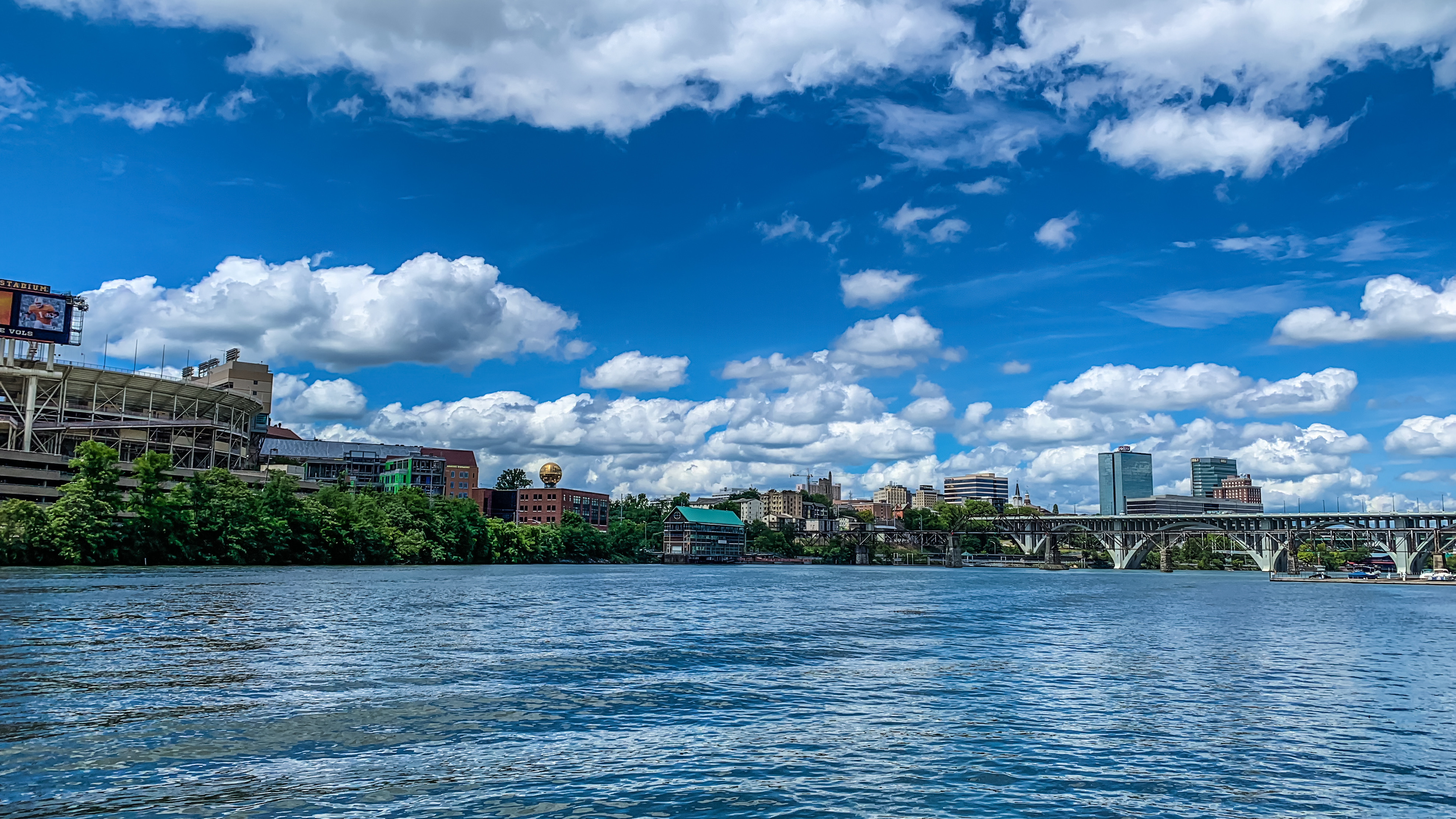
The route itself begins at Knoxville, where the French Broad and Holston rivers meet, in the middle of the great Appalachian valley. This belt of East Tennessee is a succession of long ridges alternating with narrow valleys, all lined up northeast to southwest, and the river runs southwest along the valley floor, parallel to the ridges on either side, as far as Chattanooga. In the country beyond Chattanooga, the same belt drains either west to the Tennessee or south through tributaries of the Coosa River, whose water reaches the Gulf, and the valley the river has been following continues straight on into that Gulf-bound country.
Its First Turn Away From the Gulf Comes at Chattanooga

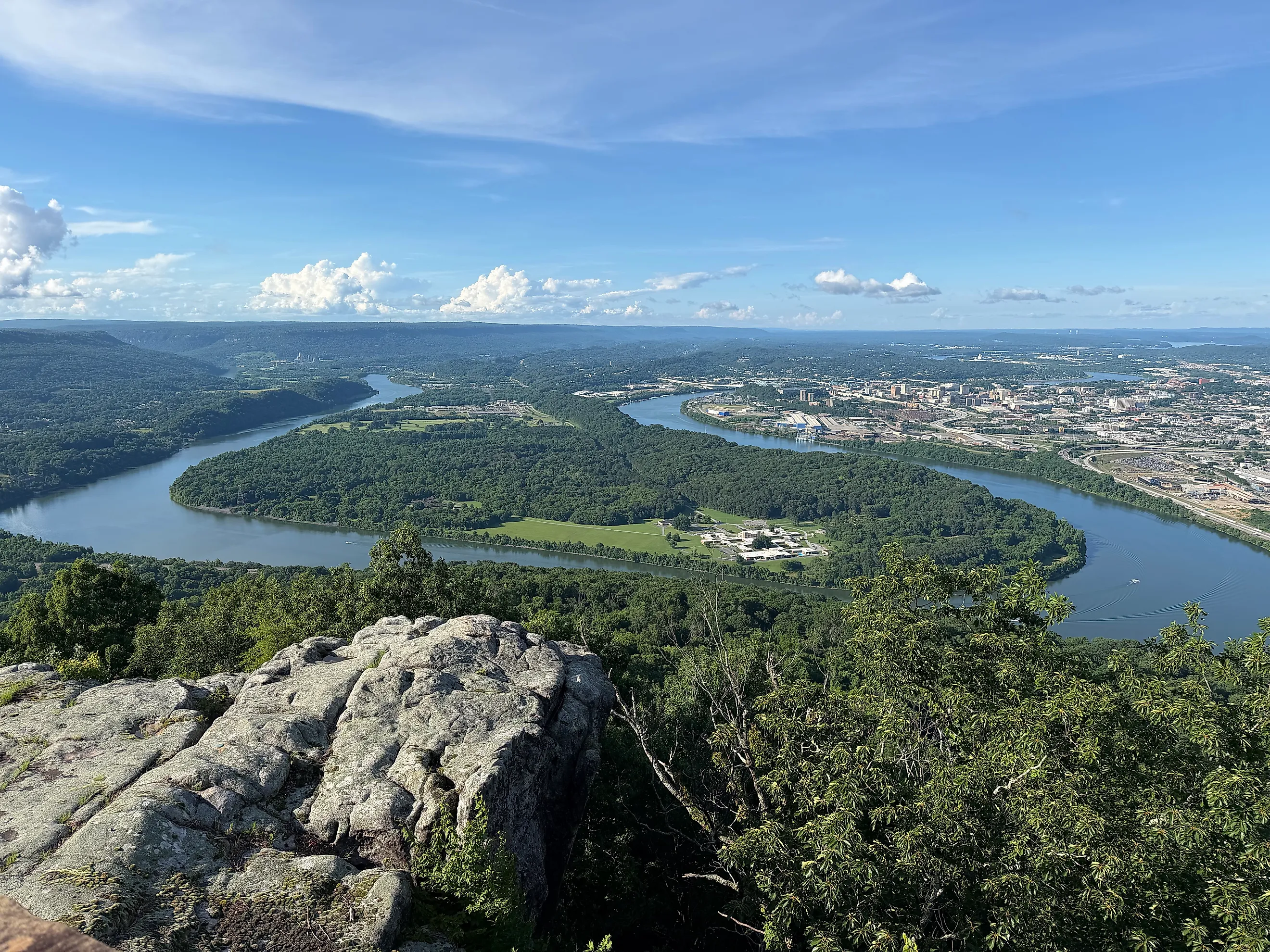
At Chattanooga, the river turns west at nearly a right angle to its upper course and leaves the broad valley for a gorge through Walden Ridge, a long plateau that resembles the Cumberland Plateau beside it. Past Moccasin Bend, a tight loop around a 768-acre peninsula across the water from downtown Chattanooga, the river enters the Tennessee River Gorge, known in geologic papers as Walden Gorge, and winds for 26 miles through it while covering only about eight miles in a straight line.
The walls of the gorge are layers of sandstone and conglomerate hundreds of feet thick, rock resistant enough that the walls stay steep and the floor narrow. This backward-looking stretch, where the river leaves an open valley heading toward the Gulf for a narrow channel through hard stone, is what first led geologists to suspect a capture. Much of the gorge is protected land today, and the Tennessee River Gorge Trust stewards more than 17,000 of its 27,000 acres, with access for hiking, camping, biking, and paddling.
It Stops Going South at Guntersville, Where It Leaves the Sequatchie Valley

The Sequatchie Valley, a straight trough about five miles wide, holds the river's course southwest into Alabama as far as Guntersville, the southernmost point on the Tennessee. South of town, the valley keeps going as Browns Valley, while the river leaves it at Guntersville and heads northwest across the top of the state. Geophysicists who presented a study of the valley at a 2023 Geological Society of America meeting described the river's path as making two 90-degree turns, the first near Guntersville, and proposed that structures buried deep beneath the surface influenced how the Tennessee River Valley formed.
Guntersville Dam backs the river up into Lake Guntersville, which stretches 75 miles upstream to Nickajack Dam, and the dam made the town the southernmost port on the river's navigation system. The lake is one of the most productive largemouth bass lakes to fish in winter, and most of the bald eagles that spend the cold months there gather around the dam.
Across Alabama, It Runs West Over Hard Chert at Muscle Shoals

Heading northwest across the top of Alabama, the river meets a band of hard Fort Payne Chert at Muscle Shoals. Where it cuts through the chert, its bed steepens into a knickzone, a section of the river's long profile where the bed drops more sharply than the reaches around it, and this one stands about 165 feet (50 meters) high, the most pronounced anywhere on the Tennessee.
On the surface, that steep section showed up as rapids. Before the dams, the river fell some 130 feet over 37 miles of shoals, across flinty, jagged rocks close to the surface, and the rapids impeded navigation and commerce even after canals were built around them in the 1830s and in 1890. Wilson Dam, finished in 1924, submerged much of the shoals and made the reach navigable, and its main lock, opened in 1959, lifts boats as much as 100 feet, the highest single-lift lock east of the Rocky Mountains.
The shoals once supported what the U.S. Fish and Wildlife Service called the world's greatest assemblage of freshwater mussels. After Wheeler, Wilson, and Pickwick dams impounded 41 miles of the 53-mile shoals reach, 34 mussel species disappeared from it, and in 2001 the Service reported 44 species still surviving in the last 12 miles of free-flowing shoals below Wilson Dam.
It Turns North at Pickwick, Where Limestone Gives Way to Soft Coastal Plain Sediment

The second of those 90-degree turns comes at the corner where Alabama, Mississippi, and Tennessee meet. Near Pickwick, Tennessee, the river leaves the old limestone bedrock it has been crossing and runs onto far younger, poorly consolidated sand and gravel of the Gulf Coastal Plain, with the Mississippi River less than 125 miles to the west. The Tennessee turns north there and follows the strike of those sediments, the direction in which their layers run, away from the Gulf. By dating buried quartz in river terraces near Pickwick, the authors of the 2022 study found that the river has flowed north from this spot since at least the Early Pliocene, with its oldest dated terrace about 4.4 million years old. Why it turns north here, when the soft sediments to the west would erode so easily, remains an open question.
One tributary in this corner holds a trace of an older drainage pattern. Bear Creek, which flows out of northwest Alabama and northeast Mississippi into the Tennessee, is home to 11 fish species otherwise found only in the Mobile Basin and nowhere else in the Tennessee drainage, a pattern biologists read as the Tennessee capturing the creek's headwaters.
A Drainage Divide South of Pickwick Stands Between the River and the Gulf

South of Pickwick Lake, the reservoir that fills the river at that turn, a band of high ground separates the Tennessee from the Gulf-bound rivers of Mississippi and Alabama, so water reaching the lake has no natural route south. Barges cross that divide today through the Divide Cut, a 29-mile canal that was the single greatest construction challenge of the Tennessee-Tombigbee Waterway, which starts on the lake. South of the cut, the 234-mile waterway passes through 10 locks and dams on its way to the lower Tombigbee River, which leads to the Gulf at Mobile. The waterway was completed in December 1984, and its first commercial boat passed through in January 1985. According to the Army Corps of Engineers' Nashville District, it cut the water route between Muscle Shoals and New Orleans to 647 miles, down from 1,121. It now carries about 6.5 to 7 million tons a year and has never topped about 8 million, well below the 27 million tons the Corps predicted for its first year.
It Runs North Along the Edge of the Gulf Coastal Plain to the Ohio

West Tennessee, which is geologically part of the Gulf Coastal Plain, begins at the river's northward reach, and for the rest of its run through the state the Tennessee follows that boundary through the Western Valley. Most of the way, the river is Kentucky Lake, 184 miles long and the largest man-made lake by surface area east of the Mississippi River.
Kentucky Dam, 22 miles above the mouth, holds back the lake, and the Army Corps of Engineers counts more than 26 million tons of commercial cargo passing through its lock each year. Alongside the lake, the Tennessee and the Cumberland River flow north side by side, with the more than 170,000 acres of Land Between the Lakes on the peninsula between Kentucky Lake and Lake Barkley. At Paducah, the Tennessee empties into the Ohio.
The Tennessee's water does reach the Gulf of Mexico in the end, by a longer route than the one the upper river appears to have followed until about 10 million years ago. After the Ohio takes it in at Paducah, the water doubles back in a hairpin, joining the Mississippi River and running south to the Gulf. The shape of that journey comes down to a few places where the ground changes, the gorge through Walden Ridge where Gallen's modeling places the ancient capture, and the corner near Pickwick where the river meets soft Coastal Plain sediments and turns north, and the TVA lakes that carry barge traffic today lie along that course. In 1985, the opening of the Tennessee-Tombigbee Waterway gave boats on Pickwick Lake the southern exit the river lacks, and barges can now reach the Gulf at Mobile without ever entering the Ohio.