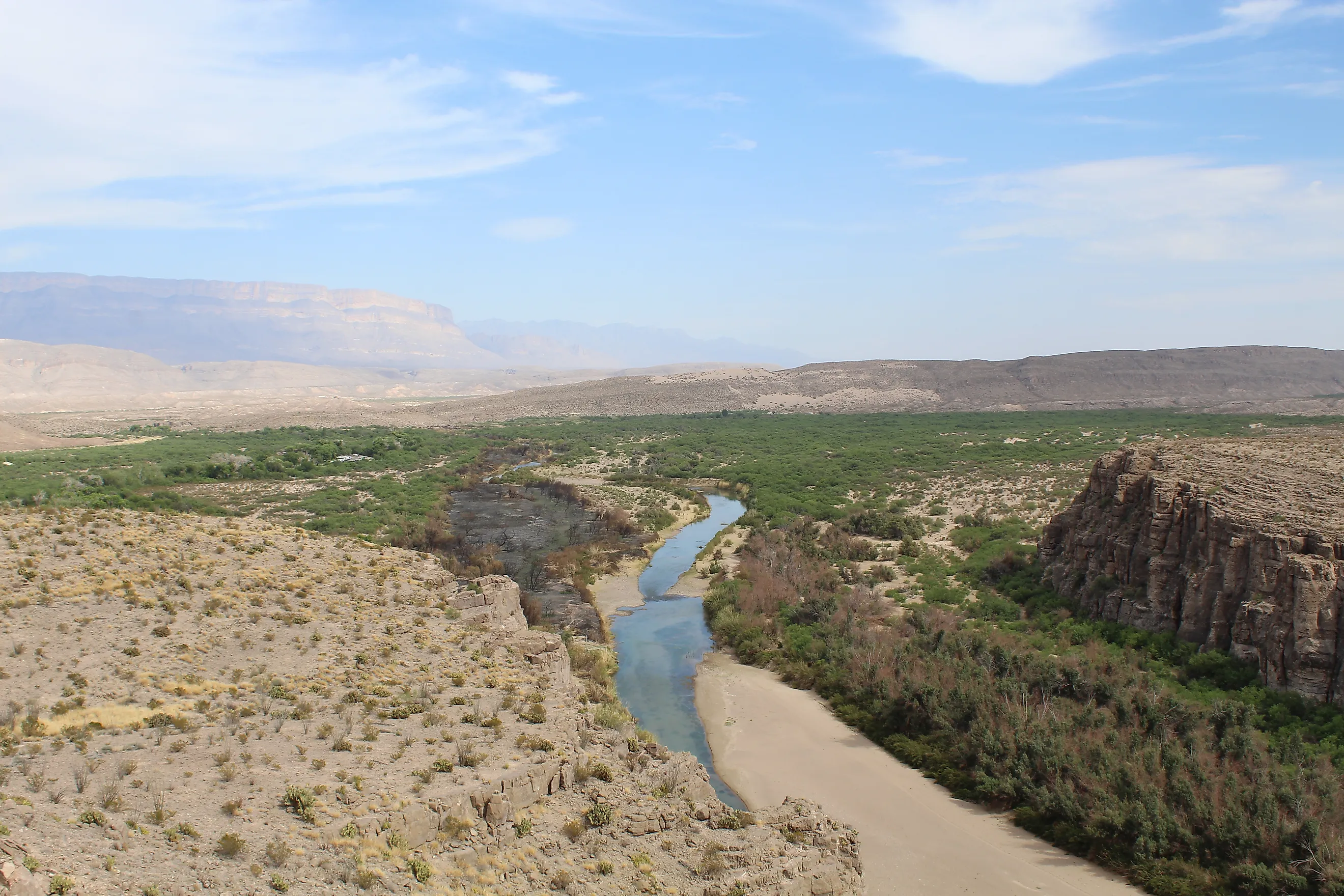
Why Parts Of The Rio Grande Are Drying Up
The Rio Grande stretches nearly 1,900 miles (3,058 km) and marks much of the US-Mexico border, yet in parts of West Texas almost none of its natural flow remains. Near Fort Quitman, below El Paso, the US Geological Survey estimates the river now carries about 5% of the water it held in its natural state.
Across the basin, people consume roughly twice the water that rain and snowmelt can replace each year, a gap expected to grow as the climate warms. Drought explains only part of that decline, and the rest traces back to decisions about who gets the water, some of them written into a treaty the US and Mexico signed in 1944. How those decisions are settled will help determine how much of the river still reaches the Gulf of Mexico.
A 95% Drop in Flow at Fort Quitman

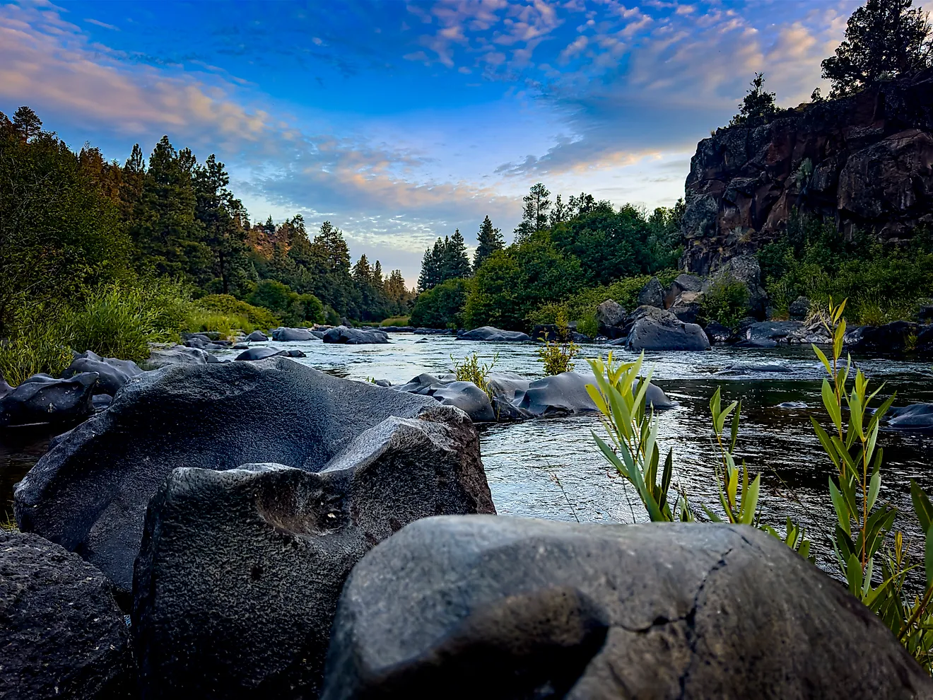
The Rio Grande begins in the San Juan Mountains of southwestern Colorado and flows south through New Mexico before turning southeast along the Texas border and reaching the Gulf of Mexico. For about 1,250 miles (2,010 km) below El Paso, it forms the international boundary between the US and Mexico, where it is known as the Río Bravo or Río Bravo del Norte.
Albuquerque and El Paso treat Rio Grande water for part of their drinking supply, while Las Cruces and Ciudad Juárez pump groundwater from aquifers partly recharged by seepage from the river. Irrigated farms and riverside wildlife habitat depend on the same water. People store the river's flow in reservoirs, divert it through canals to farms and cities, and pump groundwater when surface supplies fall, which leaves less for downstream users.
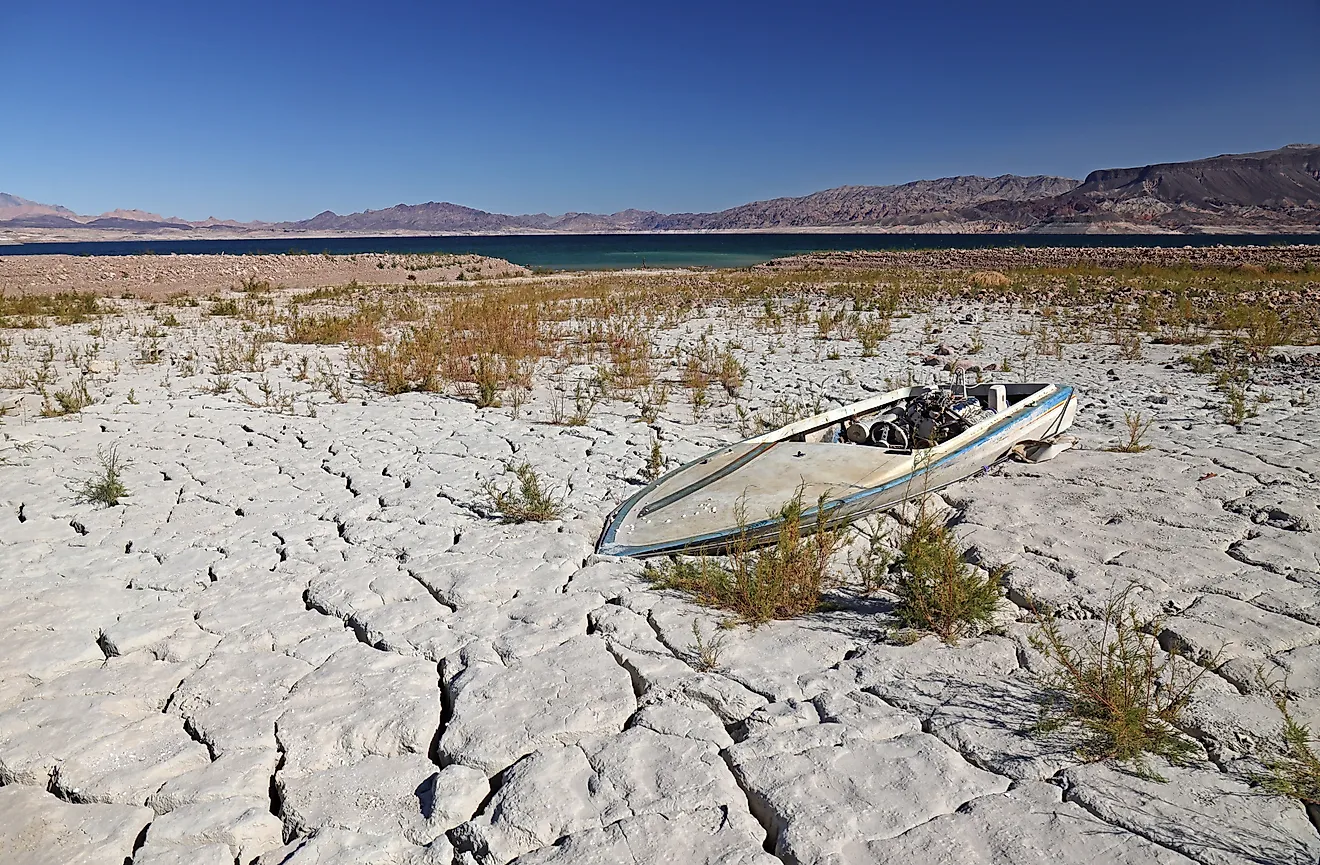
The effects can be severe. A 2021 USGS report found that streamflow at Fort Quitman, the southernmost point of the Upper Rio Grande Basin, has undergone a 95% reduction compared with the river's native state. That figure applies to one stretch rather than the entire river, but it shows how sharply withdrawals and water management have altered the Rio Grande. In some locations, the riverbed no longer carries water year-round.
Irrigated Farms Account for 87% of the Basin's Water Use

A 2025 study led by Brian Richter and published in Discover Water estimated that irrigated agriculture accounts for 87% of direct human water consumption in the binational Rio Grande-Bravo basin. The same study found that renewable replenishment supports only 48% of that consumption, which means 52% of the water people directly consume in the basin is drawn unsustainably.
When river deliveries fall short, farmers often turn to groundwater. Pumping keeps crops growing through dry periods, but withdrawals that exceed natural recharge lower aquifer levels and make future supplies less reliable. USGS research has documented groundwater declines in parts of southern New Mexico and western Texas.
Pecan orchards, chile fields, alfalfa, and cotton make up much of the farm economy in southern New Mexico and far West Texas, which makes cutbacks painful for the communities that grow them. Demand at current levels leaves less water for cities, downstream users, and ecosystems, so managing the river means weighing agricultural needs against the limits of its supply.
Dry Riverbed on a 64-Mile Reach Below Leasburg Dam

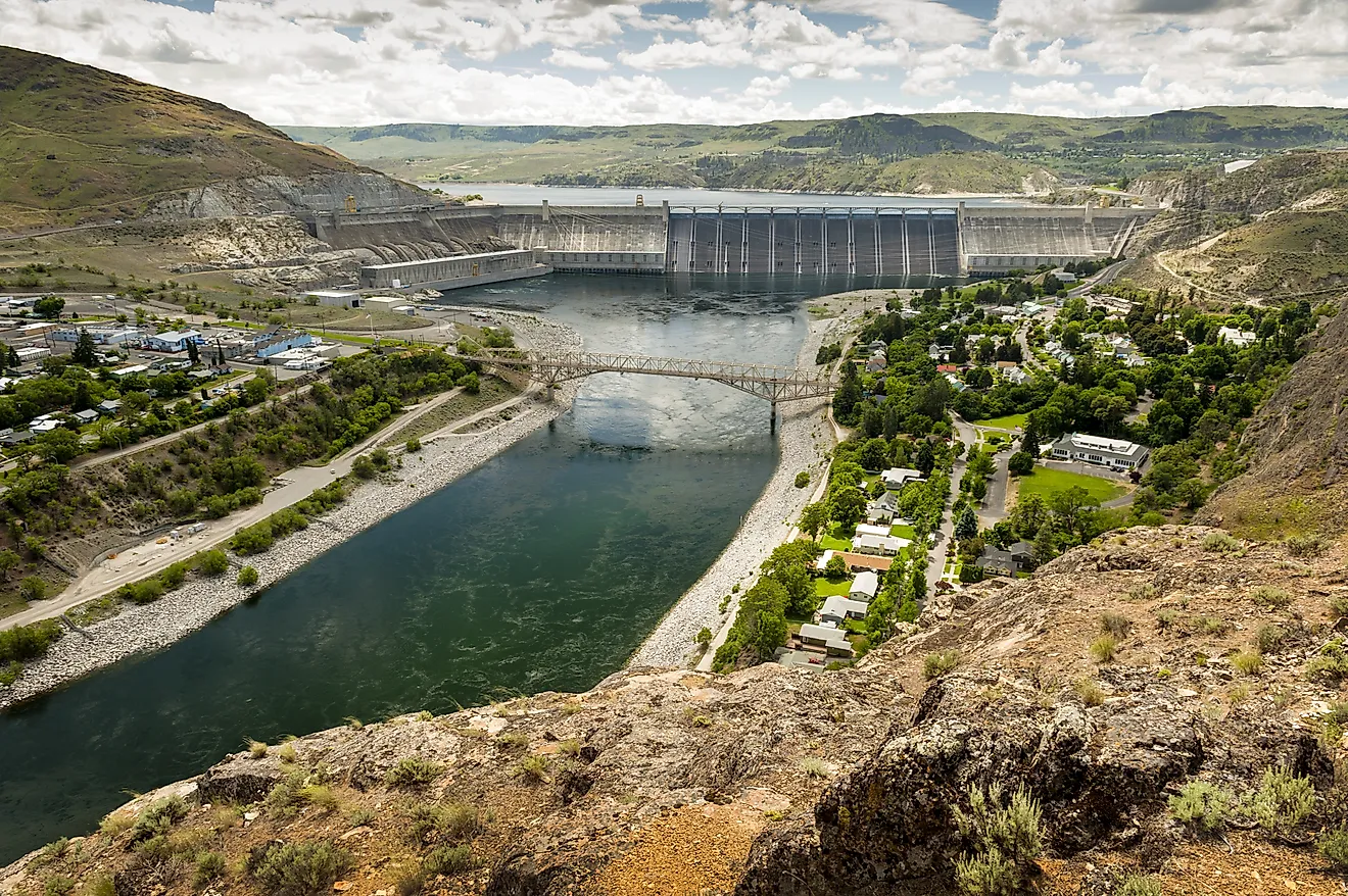
Communities rely on dams and reservoirs to store water and regulate deliveries during dry periods. Irrigation districts move supplies through canals to farms and municipalities, and engineers built levees and modified channels to control flooding. These systems provide essential services, but water in much of the basin now moves on a schedule set by people rather than by snowmelt and storms.
Some of the water held in reservoirs evaporates before it reaches downstream users, and diversions reduce the volume left in the channel. During droughts, shrinking inflows magnify the effect of every withdrawal. The result is most visible in stretches where flow depends almost entirely on scheduled releases.
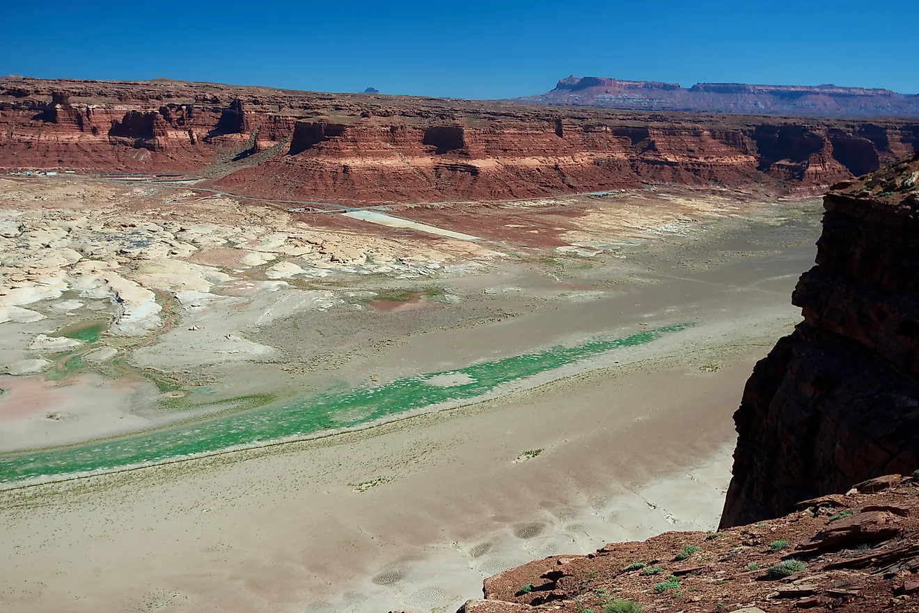
A 2016 USGS study of the Rio Grande along the 64 miles (103 km) between Leasburg Dam in southern New Mexico and American Dam in El Paso found that drought contributed to decreasing flows and that sections of the river were dry during parts of the year. The agency linked those conditions to both drought and water-management actions, showing how natural shortages and human decisions combine to leave some reaches without continuous surface water.
Reduced flows also threaten the Rio Grande silvery minnow (Hybognathus amarus), a small fish listed as endangered in 1994 that once ranged through much of the river and now survives in the wild mainly along the middle Rio Grande in New Mexico. The species needs adequate flow to spawn and survive, and dams, channel changes, and drying have all contributed to its decline. When water levels fall, the remaining habitat breaks into isolated pools, making it harder for the minnow and other aquatic species to survive.
Spring Runoff Could Arrive a Month Earlier by 2099

Much of the Rio Grande's water starts as mountain snowpack, which accumulates in winter and melts as temperatures rise in spring. Warmer conditions reduce snow accumulation, bring the melt earlier, and increase evaporation from soil and open water. As a result, less water may remain during the hottest months, when farms and cities need it most.
The 2021 USGS report modeled how climate change could affect streamflow in the Upper Rio Grande Basin and found that peak spring runoff could arrive about a month earlier than the historic average by 2099 if warming continues. A 2022 study in Earth Interactions that simulated the Elephant Butte-Caballo reservoir system projected more multiyear droughts and a smaller share of years, between 2021 and 2070, in which reservoir releases satisfy agricultural water-rights allocations. Communities that rely on those releases may face harder choices as supplies become less dependable.
Declining flow also has human causes. Irrigation diversions, groundwater pumping, and reservoir operations determine how much water reaches downstream stretches, and as temperatures rise and drought intensifies, people are drawing those amounts from a shrinking supply.
The US and Mexico Share the River Under a 1944 Treaty
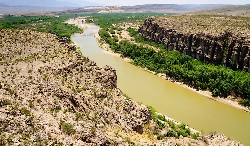
The Rio Grande is shared by the US and Mexico, and both countries rely on it for agriculture, municipal supplies, and ecosystems. Managing it means meeting international water-sharing obligations amid competing demands on each side of the border.
The 1944 Water Treaty between the two countries sets rules for sharing water from the Rio Grande, the Colorado River, and the Tijuana River. Mexico must deliver to the US one-third of the flow reaching the Rio Grande from six Mexican tributaries, with a minimum average of 350,000 acre-feet (about 432 million cubic meters) per year, accounted for over five-year cycles. The US, in turn, delivers 1.5 million acre-feet (about 1.85 billion cubic meters) of Colorado River water to Mexico each year.
Drought and low inflows make these obligations harder to meet, which adds uncertainty for farmers and other users who depend on scheduled deliveries. When supplies fall short, disagreements over allocations add another challenge to an already strained system.
When water levels drop, wetlands dry out and riverside vegetation dies back, shrinking wildlife habitat and limiting recreation. Salts and other contaminants become more concentrated in the remaining water, creating problems for irrigation and ecosystems. Because upstream withdrawals reduce downstream supplies, long-term planning requires coordination across state and national boundaries.
What It Would Take to Put Water Back in the Channel

Restoring the Rio Grande's flow will require water users and managers to bring demand closer to the supply the basin can reliably provide. More efficient irrigation systems can reduce the amount of water applied to fields, but efficiency improvements do not automatically increase river flow. If farmers use the savings to expand irrigated acreage or grow more water-intensive crops, total consumption may remain high. Conservation is most effective when paired with clear limits, accurate accounting, and management that considers the entire basin.
Cities can also reduce demand by repairing leaks, reusing treated wastewater where appropriate, and choosing landscaping suited to arid conditions. Groundwater management matters just as much, since pumping beyond natural recharge offers short-term relief while weakening long-term water security.
Managers can time reservoir releases and dedicate environmental flows to keep habitat wet during critical periods, and river restoration projects can improve conditions for native species. Aligning water use with available supplies also depends on reliable monitoring and on cooperation among states, water districts, farmers, cities, and the two national governments.
Consumption at Twice the Basin's Renewable Supply

The decline in the Rio Grande's flow comes down to heavy water demand, dams and diversions, drought, and a warming climate. Farms and growing cities depend on its water, but when people consume roughly twice what natural replenishment can sustain, the supply cannot cover every demand.
The river's future depends on whether communities can bring water use in line with the basin's limits. Its long-term survival rests as much on how people choose to use its water as on how much snow falls in the mountains each winter.