The Largest Spring-Fed Rivers In America
Some of the water moving through these rivers fell as rain before you were born. The trick only works in a few kinds of country: the young volcanic terrain of the Pacific Northwest and northern California, and the soft limestone of the Ozarks and Florida, where water moves through the ground the way it moves through a sponge.
That buried plumbing is why a handful of American rivers run full and frigid through the hottest, driest weeks of summer, while rain-fed rivers nearby shrink to a trickle. One pushes billions of gallons a day through bare desert canyon, another moves a staggering amount of water in barely five miles, and the rest are scattered in between. What they share is a source almost no one ever sees.
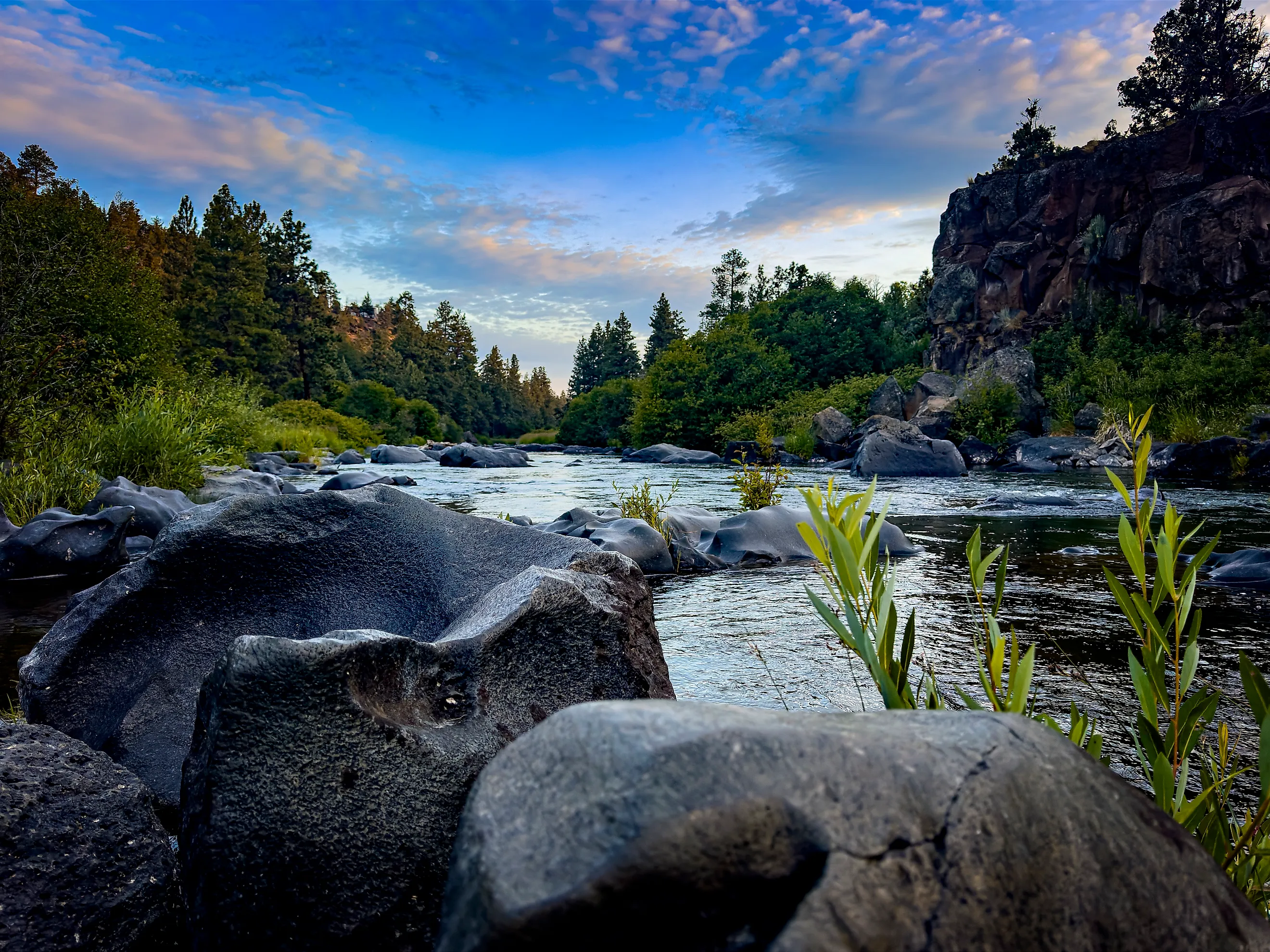
Deschutes River, Oregon

The Deschutes runs 252 miles to the Columbia River, including a final 100 miles through steep, basalt-lined canyons. Much of its supply has already traveled beneath central Oregon. Rain and snowmelt enter permeable volcanic rock, then return through springs and other groundwater outlets along the river system.
A USGS basin study published in 2001 described summer flow near Madras at approximately 4,000 cubic feet per second, largely supplied by groundwater. That equals roughly 2.6 billion gallons a day. Springs are only part of the explanation for the lower river's steady current: the Pelton Reregulating Dam also controls releases. Downstream, that water runs through Whitehorse Rapids, which drops roughly 35 to 40 feet over a mile. Farther downstream, Sherars Falls drops another 15 feet within the canyon.
Metolius River, Oregon

The Metolius becomes colder as it flows downstream. Additional cold water enters this Deschutes tributary along its roughly 29-mile course, helping sustain habitat for wild rainbow trout and bull trout. Its headwaters emerge near Black Butte, where visitors can see the river's beginning at the Head of the Metolius Observation Site.
Near Camp Sherman, visitors can watch fish or follow trails beside old-growth ponderosa pines. Faulting along Green Ridge helps explain the concentration of springs in this part of the Cascades. Farther downstream, the setting becomes less accessible. The lower river borders the Warm Springs Indian Reservation and is managed as a primitive area without motorized access. The river enters the waters of Lake Billy Chinook at the end of this reach.
Fall River, California

Northeastern California's Fall River widens into a slow-moving meadow stream. The Fall River Conservancy describes lower-river summer flows of roughly 1,200 cubic feet per second. The Fall River's supply comes largely through springs in volcanic terrain, including the Ahjumawi Lava Springs that feed its Tule River tributary. Downstream of that tributary, parts of the channel reach about 300 feet wide.
This is California's largest spring-fed river, and its groundwater supply sustains a wild trout fishery during the hottest part of the year. Near Island Road Bridge, midsummer water temperatures generally remain in the low to mid-50s Fahrenheit. The river warms farther downstream, reaching the low to mid-60s near Glenburn and the Pit No. 1 intake. Bear Creek contributes surface runoff and can cause flood peaks, but much of the summer current comes through the springs. The Fall eventually joins the Pit River below Fall River Mills.
Current River, Missouri And Arkansas

Near Van Buren, Missouri, Big Spring adds roughly 289 million gallons of water a day to the Current River on average. Farther upstream, Welch Spring contributes another 148 million gallons daily. These large outlets help sustain the river through the Missouri Ozarks before it continues into Arkansas.
Within Ozark National Scenic Riverways, springs supply more than 60 percent of the combined flow of the Current and Jacks Fork rivers. Canoeists travel the resulting clear channels, but the spring pools themselves have tighter protections. Wading, swimming, and fishing are prohibited in the park's springs and spring branches.
The restrictions protect habitat that differs from the main river. Watercress and other aquatic plants provide food and shelter for small aquatic animals, including insects. Several aquatic invertebrate species occur in as few as two Ozark springs.
Spring River, Arkansas

The Spring River's trout water begins with Mammoth Spring, close to the Missouri state line. Approximately 9.8 million gallons of 58-degree water emerge each hour, according to the Arkansas Game and Fish Commission. That is about 235 million gallons a day entering the small lake at Mammoth Spring State Park and feeding the river below.
Across much of Arkansas, trout fisheries depend on cold releases from large reservoirs. Here, the spring itself supplies the cold water. The commission manages roughly 12 miles of trout water below the park, extending to the mouth of Myatt Creek. The cold supply has also been used at the Jim Hinkle Spring River State Fish Hatchery, on an island in the Spring River near Mammoth Spring. Built in 1974, the hatchery draws river water to raise trout.
Rainbow River, Florida

Florida's Rainbow River travels nearly six miles before reaching the Withlacoochee, carrying an average of about 493 million gallons a day. Its headwaters near Dunnellon rise from numerous vents rather than one large opening. Other springs add water downstream, including outlets in the Indian Creek tributary. The groundwater emerges remarkably clear. At Rainbow Springs State Park, the natural swimming area is 10 to 18 feet deep, with water averaging 72 degrees year-round. Paddlers can continue along the spring run, where bubbling sand boils mark additional outlets in the riverbed. River otters live along the channel, and a variety of fish species inhabit the river's clear water.
Silver River, Florida

Glass-bottom boats have operated at Silver Springs since the late 1870s, giving passengers a view into the water that forms the Silver River. At least 25 spring vents have been documented in its upper reaches. Their combined discharge historically averaged about 800 cubic feet per second, equivalent to roughly 520 million gallons daily.
That historical volume helped make Silver Springs Florida's largest inland spring by discharge. Flow has since declined, with rainfall patterns, downstream vegetation, and groundwater pumping contributing to the change. The approximately five-mile river still gives visitors an unusually direct view of a large spring system. Its entire length lies within Silver Springs State Park, where kayakers can follow the channel through forest. Boat passengers can look beneath the surface at aquatic plants and fish without entering the water. The first tours used glass fitted into a rowboat.
Wakulla River, Florida

At Wakulla Springs, the same steady groundwater temperature that draws swimmers also provides winter shelter for manatees. The spring supplies most of the Wakulla River's flow. The Northwest Florida Water Management District gives its average discharge as approximately 623 cubic feet per second, or around 400 million gallons a day.
The water emerges through a huge submerged cave system beneath Edward Ball Wakulla Springs State Park. Guided riverboat tours travel through habitat shared by manatees and alligators, while part of the spring pool is designated for swimming.
The river's influence continues beyond the park. It delivers freshwater to the St. Marks River and then Apalachee Bay, where estuarine habitat supports juvenile fish and shellfish. The bay also provides nursery habitat for Kemp's ridley sea turtles.
The Land That Feeds The Springs
The land supplying a spring-fed river can extend far beyond its visible banks. Rainbow River has a surface watershed of about 73 square miles, while its groundwater-supplying springshed covers approximately 735 square miles. Rain falling in parts of Alachua and Levy counties helps replenish the aquifer, along with rainfall closer to the river in Marion County. Changes on that larger area of land can therefore reach water that looks isolated inside a state park. Elevated nitrate concentrations are already a concern in the Rainbow system. Rainfall also affects the aquifer's water level, which supplies the pressure driving the springs. For Rainbow's long-term flow, the water management district identifies rainfall as the main influence, with groundwater withdrawals playing a smaller role.