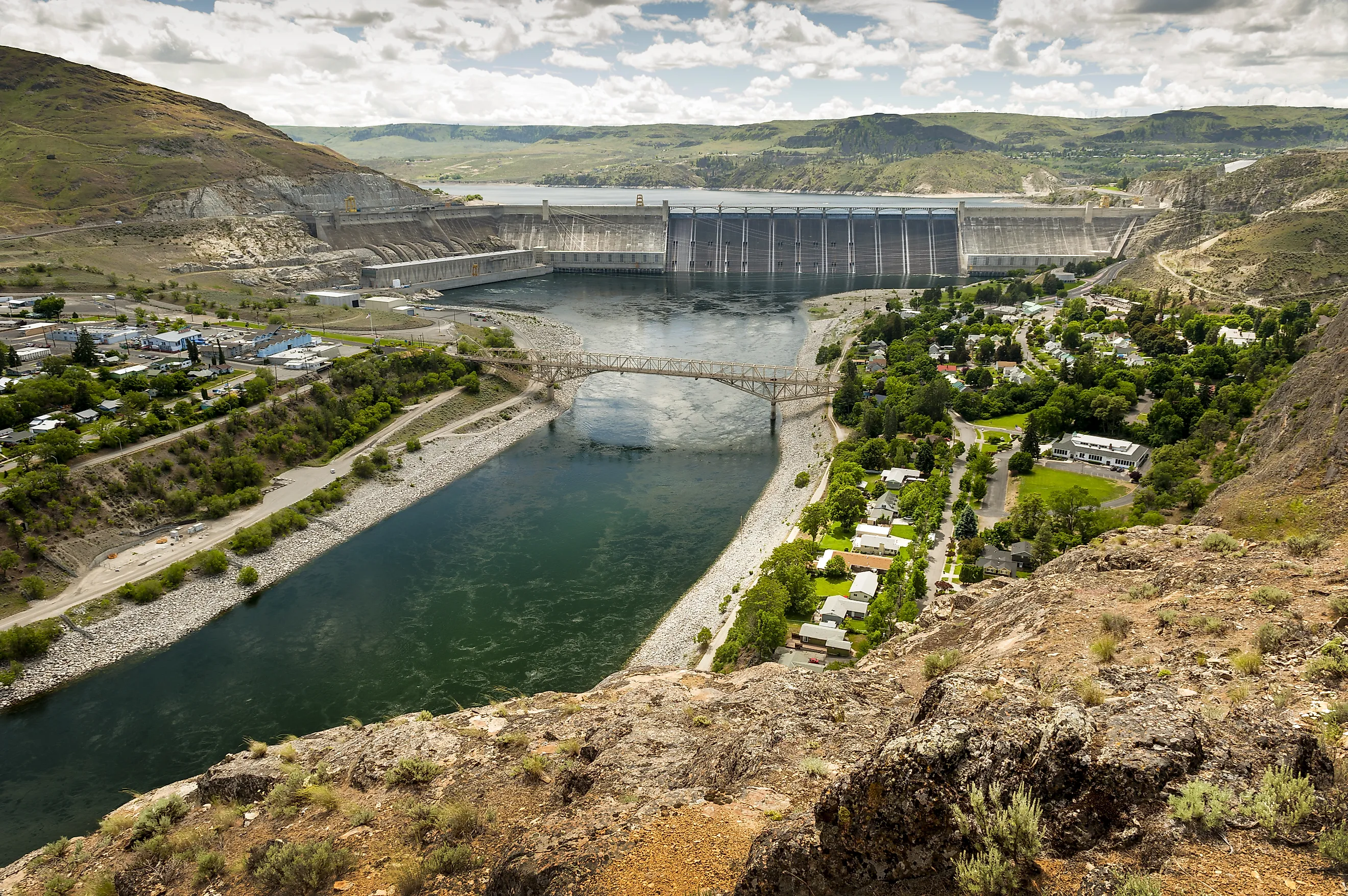
Why The Columbia River Has No Delta
The Columbia River builds plenty of new land, and almost none of it sits at the river's mouth. A map of the mouth shows open water running between two long rock jetties, with nothing resembling the marshy, branching fan of land at the end of the Mississippi. The reason is the force of the ocean where the river meets it. The Columbia pours more water into the Pacific than any other river in the Americas, and it empties across a sandbar sailors call the Graveyard of the Pacific, where winter storm waves can top 40 feet. Sediment that would pile up into islands and marsh in calmer water gets picked up and spread out almost as soon as it settles.
The land the river does build ended up on the seafloor more than a mile down and under the wide beaches of Washington's Long Beach Peninsula and Oregon's Clatsop Plains, where people dig razor clams and drive their cars on sand that washed down the Columbia.
A Delta Forms Only Where Sediment Arrives Faster Than Waves Remove It

A river drops sand and mud where its current slows at the coast, and waves and tidal currents carry that material away again. Where the river delivers sediment faster than the ocean can clear it, the deposits build outward into new land. Where waves and tides keep up, the sand gets worked into nearby beaches and the mouth stays open water.
The Mississippi carries an enormous load of sediment onto a shallow continental shelf in the Gulf of Mexico, where wave and tidal forces are low, so its deposits stay close to where they land. Over thousands of years the river built a delta plain across south Louisiana, and its current bird's-foot lobe extends long, branching channels out into the Gulf. Much of the Pacific coast is the opposite setup, with relatively low sediment supply and high wave energy, and few places on that coast match the description better than the mouth of the Columbia.
The Columbia Moves Huge Amounts of Water and Modest Amounts of Sand

For all the water it carries, the Columbia moves surprisingly little sediment. The river drains about 258,000 square miles, an area nearly the size of Texas, across seven states and British Columbia, and its flow at the mouth averages about 235,000 cubic feet per second. Before the dams, it carried an estimated 16.4 million tons of sediment a year. The lower Mississippi and its Atchafalaya branch together carried more than ten times that amount around 1980, roughly 200 million metric tons of suspended sediment. A fast-moving river with a light load leaves less material at the coast and gives it less time to settle before waves move it.
Pacific Swells Keep the Columbia Bar Underwater

At the entrance, the river's current runs west at 4 to 7 knots, straight into the prevailing westerly winds and swells. Sediment drops out as the flow slows, forming a shifting sandbar about 6 miles long and 3 miles wide. Geologists call the broad apron of sand just beyond the jetties the river's outer delta, and it is the closest thing the Columbia has to a delta at its mouth, sitting entirely underwater. Each winter, storm swells roll across these shoals and scatter their sand along the coast and back out to sea, so the bar keeps shifting and never builds above the waterline. On top of that, the Army Corps of Engineers dredges roughly 3.5 to 4.5 million cubic yards of sand from the entrance channel every year to keep it deep enough for ships.
That same shallow, restless bar is what makes the crossing so dangerous. River current and ocean swell collide over the shoals and throw up steep standing waves, and conditions can turn life-threatening in as little as five minutes. Roughly 2,000 vessels, including more than 200 large ships, have sunk in and around the entrance since 1792. Ships in foreign trade must now take on a licensed bar pilot for the crossing, usually lowered to the deck by helicopter.
In the Ice Age, the River's Sediment Went to the Deep Pacific

The Columbia's largest deposit of sediment, by far, lies offshore. During the last ice age, sea level stood roughly 400 feet lower than today. As late as about 15,000 years ago, the river ran across what is now the continental shelf to the head of Astoria Canyon, which begins about 10 miles off the present mouth. Dense, sediment-laden currents poured down the canyon and fanned out over the seafloor, building the Astoria Fan, a fan-shaped deposit that spreads for dozens of miles across the deep seafloor and lies about 9,000 feet down near the canyon's mouth. Geologists compare the way it formed to the growth of the Mississippi Delta, except the Columbia's version was laid down more than a mile and a half beneath the surface.
The floods that repeatedly burst from glacial Lake Missoula between about 18,000 and 15,000 years ago sent enormous loads of sediment down the Columbia, and large amounts of it may have reached the canyon and helped carve it. As the ice melted and the sea rose, the shoreline moved inland across the shelf and the river's sediment stopped reaching the canyon in any quantity. Since then it has settled on the shelf off the mouth in a layer up to 165 feet thick.
The Missing Delta Is Spread Along 100 Miles of Beach

Columbia River sand built the barrier spits and beach plains that line the coast between Tillamook Head in Oregon and Point Grenville in Washington, and all of them formed within the last 5,000 years as the rise in sea level slowed. Geologists treat this whole stretch as one sand-sharing system, the Columbia River littoral cell, and most of the sand on its beaches started out in the Columbia.
Storm swells arrive mostly from the southwest in winter and push the net flow of beach sand northward, carrying river sand up the Long Beach Peninsula and on to the beaches near Grays Harbor. Columbia sand also built the Clatsop Plains, which run south from the river toward Seaside. Both the Washington peninsula and the Oregon dune plain carry rows of old dune ridges parallel to the shore, and the ridges get progressively younger toward the water. Each ridge marks an old shoreline, so a walk inland across them is a walk back through thousands of years of beach growth.
Jetties Pushed the Sand Out Onto the Beaches
Work on the South Jetty began in 1885 to make the bar safer for ships, and the two main jetties were finished by 1917. Squeezing the current between them scoured sand from the entrance and pushed the outer delta farther offshore. Waves then carried much of that sand onto the neighboring coast.
Clatsop Spit, on the Oregon side, grew about 2.9 miles north within 50 years of the South Jetty's construction. On Long Beach, the shoreline advanced about a foot a year before the jetties and about 12 feet a year between the 1920s and 1990s. Across the whole littoral cell, the jetties roughly doubled the rate at which the shoreline built outward, and much of the broad sand that visitors cross today to reach the surf at Long Beach piled up during the twentieth century.
Dams Hold Back About Half the River's Sediment
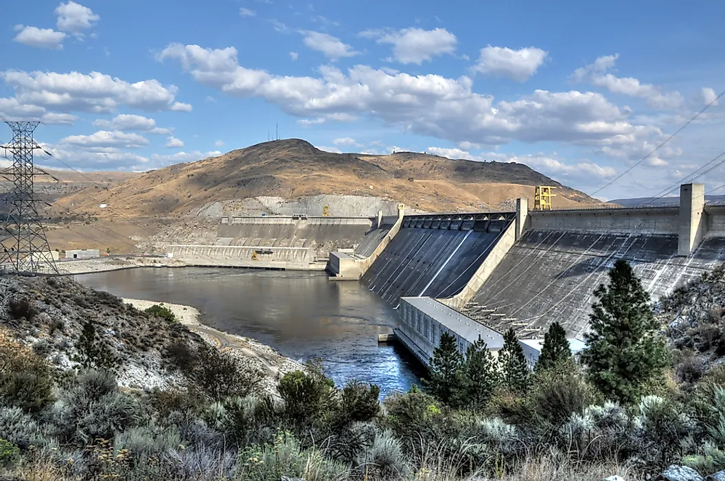
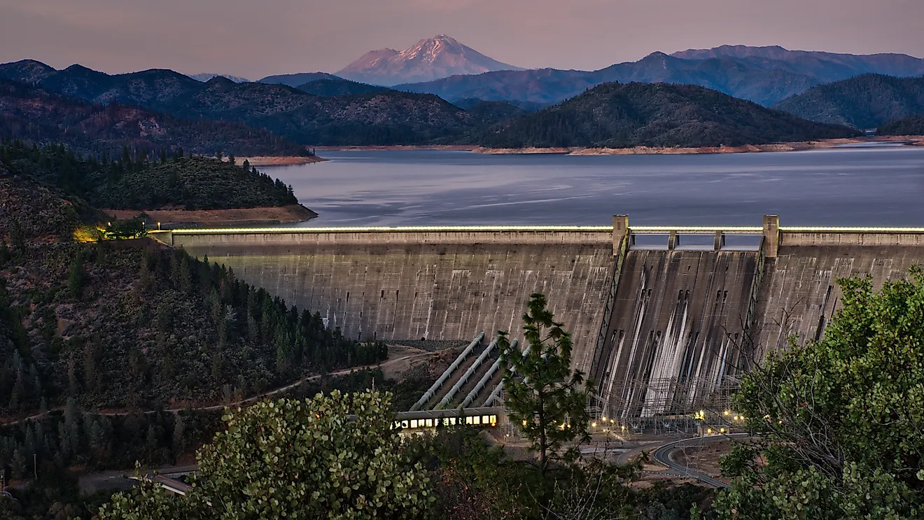
The supply feeding those beaches has dropped sharply since the 1930s, when the first of what are now 11 major dams and more than 200 smaller ones in the Columbia and Willamette basins went up. Their reservoirs trap sediment, and regulated flows have tamed the spring floods that once moved the most sand downstream. About 8 million tons of sediment a year now reaches the Pacific, compared with 16.4 million before the dams.
The sand supply in particular has fallen by a factor of three, and the estuary now holds sand that once passed through to the coast. With less new sand arriving and the jetty-driven surge slowing, researchers have warned that parts of southern Long Beach could lose hundreds of feet of shoreline. The Corps now places part of the sand it dredges from the channel in shallow water off nearby beaches and has pumped some onto Benson Beach, just north of the North Jetty, so that sand stays on the coast.
A Tidal Estuary Sits Where a Delta Would Be

The lower Columbia is a drowned river valley, flooded as the sea rose at the end of the last ice age and partly refilled since then with the river's own sediment. Tides reach so far inland that they can be measured at Bonneville Dam, 146 miles upstream, during low river flow. Young salmon and steelhead feed and grow in the shallow tidal marshes and side channels along the lower river before heading out to sea.
Every salmon and steelhead population in the Columbia Basin passes through this estuary, as juveniles heading out and again as adults returning to spawn. Those marshes rest on sediment the river laid down after the sea flooded the valley, and between 1870 and 2010 the lower river lost 68 to 70 percent of its vegetated tidal wetlands, mostly to farmland and, to a lesser degree, to urban development.
A Coast That Depends on the Sand Still Getting Through
Sediment rarely stays at the Columbia's mouth long enough to become land, because a fast river carrying a modest load runs straight into some of the heaviest surf on the Pacific coast. Over the last century, the jetties scoured the river's underwater outer delta and fed that sand onto Long Beach and the Clatsop Plains, building the wide beaches people know now, while the dams cut the river's fresh sediment supply roughly in half and the estuary began holding sand that once reached the ocean. The jetty-driven surge is slowing just as the river delivers less, and winter swells keep pushing what remains north. The width of southern Long Beach over the next few decades will depend largely on how much sand still slips past the dams and how much dredged channel sand the Corps returns to the shore.