How Big The Great Lakes Are Compared To The United Kingdom
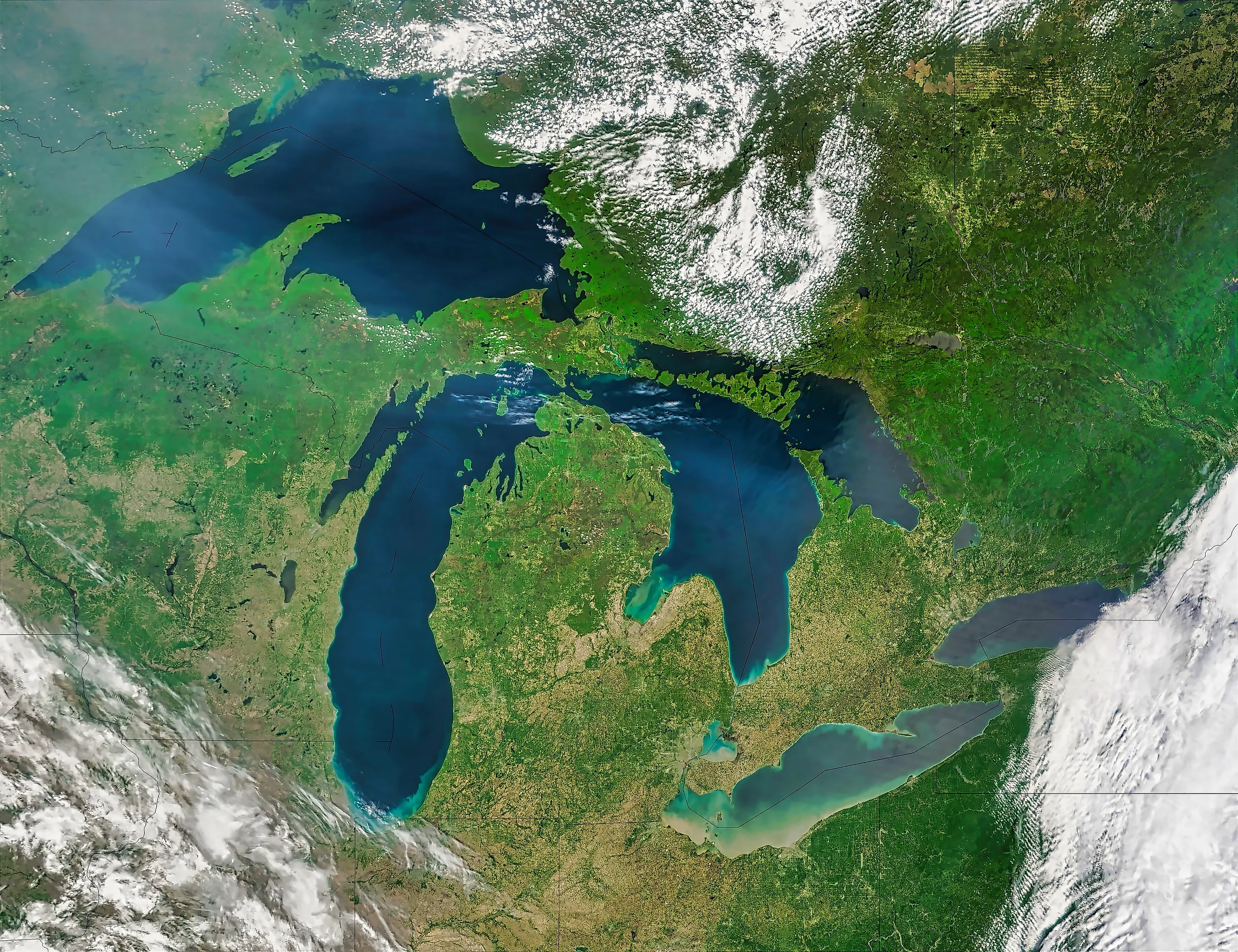
The five Great Lakes cover 244,106 square kilometers. The United Kingdom covers 242,495. The lakes are larger by 1,611 square kilometers, which on a map of either is a rounding error, and means North America has a freshwater feature the size of a European country with a navy. Lake Superior on its own is bigger than Scotland. Lake Erie, which everybody treats as the runt, is bigger than Wales. And if you poured all five over the UK, the water would reach almost exactly the top of Big Ben.
The Match Is Almost Exact

Comparisons like this usually need rounding to work. This one does not. The Great Lakes total 94,250 square miles of surface. The UK totals 93,628. That is a difference of 0.66 percent, which is closer than most countries can measure their own borders.
Britannica and the EPA both use the same framing, noting the combined area of the lakes exceeds that of the United Kingdom. It is one of the few scale comparisons in geography that lands on the nose rather than being wrestled into shape.
Lake Superior Beats Scotland

Breaking the comparison down by component is where it turns rude. Lake Superior covers 82,100 square kilometers. Scotland covers 77,933. The lake is larger by 4,167 square kilometers, which means one American lake is bigger than a country with its own parliament, legal system and football team.
Superior also beats Wales and Northern Ireland, obviously, and loses only to England. One lake outranks three of the four.
Lake Erie Beats Wales

Erie is the one everybody dismisses. It is the shallowest, holds the least water and serves as the punchline in roughly every Great Lakes comparison ever written.
At 25,700 square kilometers it is 24 percent larger than Wales, which covers 20,779. The smallest Great Lake by volume still outranks an entire constituent country of the United Kingdom on area.
Lake Ontario, the smallest by surface area, manages 19,010 against Northern Ireland's 14,130, which is 35 percent larger.
Only England Survives

Run all five lakes against all four countries and the scoreboard is closer than the individual matchups suggest.
England at 130,279 square kilometers is the only UK country larger than any single Great Lake, and it is larger than all of them. Superior beats Scotland, Wales and Northern Ireland. Huron and Michigan each beat Wales and Northern Ireland. Erie beats both as well. Ontario beats Northern Ireland.
Across the twenty possible matchups it finishes exactly level, ten each, and England accounts for five of the UK's ten. Remove England and the lakes win ten to five.
Pour Them Over And The Water Reaches Big Ben

Area is only half of it, and the volume comparison produces the better image by some distance. The Great Lakes hold 22,671 cubic kilometers of water. Spread that evenly across the UK's 242,495 square kilometers and it comes to 93.5 meters deep.
The Elizabeth Tower, which everybody calls Big Ben, stands 96 meters. So the water would stop about two and a half meters short of the top, leaving the clock faces visible and nothing else. St Paul's dome, at 111 meters, would clear it comfortably.
The Basin Needs France As Well

Widening from the lakes to the land draining into them requires borrowing a second country.
The Great Lakes basin, meaning the lakes plus everything that drains into them, covers about 295,710 square miles. That is roughly the United Kingdom and France combined.
It extends about 690 miles north to south and 860 miles from the western end of Superior to the eastern end of Ontario, which is further than London to Rome.
Europe Would Need Sixteen Countries

If a single country feels too tidy, the alternative version is funnier.
The same 244,106 square kilometers equals the combined land area of the Netherlands, Switzerland, Moldova, Belgium, Albania, North Macedonia, Slovenia, Montenegro, Cyprus, Luxembourg, Andorra, Malta, Liechtenstein, San Marino, Monaco and Vatican City.
Sixteen sovereign states, including four of the five smallest in the world, add up to the same surface as five lakes in the middle of North America.
Thirty-Five Thousand Islands

One statistic inside the lakes makes the UK comparison feel small all over again. The Great Lakes region contains an estimated 35,000 islands. The United Kingdom, counting every rock and skerry around Scotland and the offshore groups, is usually credited with somewhere between 6,000 and 7,000.
So a freshwater system the size of the UK holds roughly five times as many islands as the UK does, which is not a comparison anybody expects to go that way.
Why The UK Is The Right Yardstick
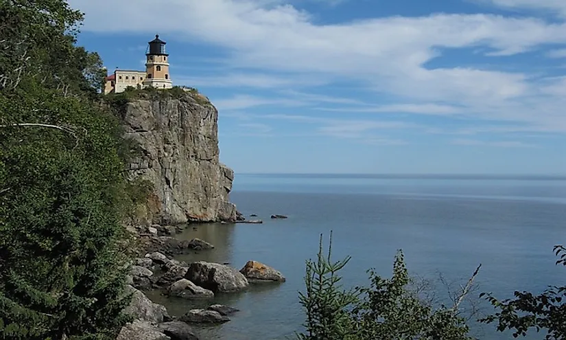
Scale comparisons fail when neither side is familiar, and this one works because one half of it is a country most readers can picture.
Almost nobody has an instinct for 94,250 square miles. A great many people have a mental image of Britain, or at least of its outline. Putting the lakes against it turns an abstraction into a shape in one step.
It also delivers the surprise these comparisons need, because the Great Lakes read as a regional feature on a map of North America and are in fact the size of a G7 nation.
The Scoreboard
The Great Lakes are 0.66 percent larger than the United Kingdom by surface area. Superior beats Scotland, Erie beats Wales, Ontario beats Northern Ireland, and only England is larger than any lake on the list.
Tip the whole system over the country and the water settles at 93.5 meters, two and a half meters below the top of Big Ben, with 35,000 islands floating somewhere above the Midlands. North America keeps this in reserve and calls it a chain of lakes.