The Most Polluted River In The United States
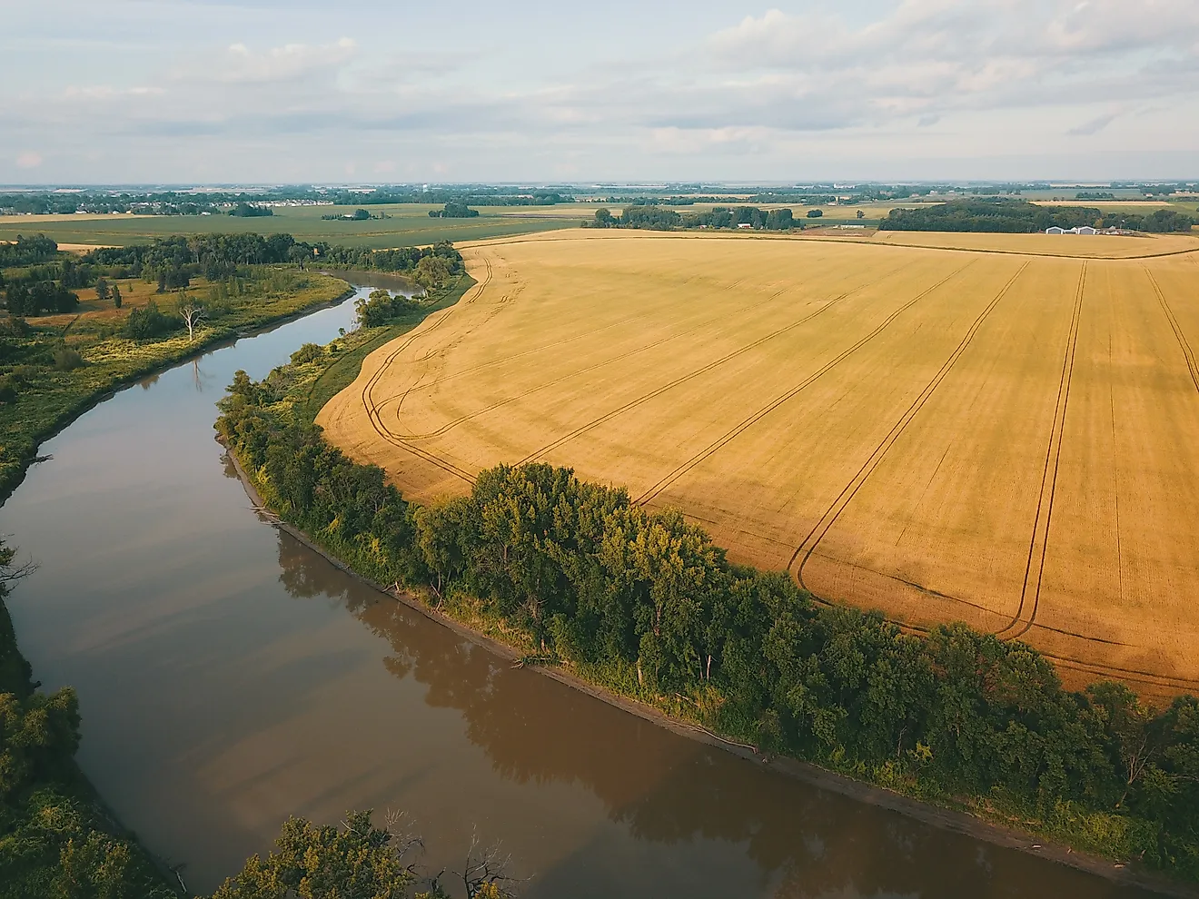
You might think the most polluted river in the United States would be a small, sludgy creek behind a factory somewhere. It is actually one of the biggest rivers in the country, and more than 5 million people drink from it. The Ohio River has led American rivers in the toxic chemicals industry reports dumping into them, ranking first in 2007 and again in 2010, when it took in about 32 million pounds. In 2020, the latest year analyzed, plants along the river and its tributaries released nearly 41 million pounds of toxic substances into the Ohio River basin, more than any other watershed region in the country.
The Ohio runs 981 miles from Pittsburgh to Cairo, Illinois, past 33 public drinking-water intakes, and what enters it in one place keeps moving toward the next city that depends on it. In February 2023, Cincinnati shut its intake to wait out a chemical plume from a train wreck hundreds of miles upstream.
Heavy Rain Makes Two-Thirds Of The River Unsafe For Swimming

The trouble starts at the river's first mile. In Pittsburgh, where the Allegheny and Monongahela rivers meet to form the Ohio, the sewers carry storm runoff and household sewage in the same pipes, and when heavy rain overloads them, the mix overflows into the rivers. The county sewer authority, ALCOSAN, is upgrading its system to cut those overflows by about 6.6 billion gallons a year by 2036. Even after that work, it expects about 2.7 billion gallons could still spill into the region's rivers in a typical year. Pittsburgh is one of 49 communities along the Ohio with combined sewers, and together they account for roughly 10 percent of the nation's combined sewer overflows. ORSANCO, the interstate Ohio River Valley Water Sanitation Commission, estimates that during heavy rain about 630 miles of the river, roughly two-thirds of its length, isn't safe for swimming or other contact because of sewage, farm runoff, and other pollutants.
A Derailment 19 Stream Miles From The Ohio Shut Cincinnati's Intake

About 40 miles below Pittsburgh, a small creek system showed how a spill reaches the main river. On the night of February 3, 2023, a freight train derailed in East Palestine, Ohio, next to a creek called Sulphur Run. The train was carrying vinyl chloride and butyl acrylate, among other chemicals.
Sulphur Run flows into Leslie Run, then Bull Creek, North Fork Little Beaver Creek, and Little Beaver Creek, which empties into the Ohio 19 stream miles from the crash site. The Ohio Department of Natural Resources estimated that 38,222 small fish and about 5,500 other aquatic animals died in those creeks. State crews checked the Ohio downstream and found no other dead wildlife.
On February 19, Greater Cincinnati Water Works shut its Ohio River intake ahead of the plume's expected arrival, and the Northern Kentucky Water District closed its intakes too. Cincinnati reopened the next day after its tests found none of the chemicals at the intake. The river was running near flood stage, and ORSANCO believed the high water had diluted them on the way down.
Algae Stretched 636 Miles In 2015

Farther downriver, pollution on the Ohio once showed up as a color. On August 19, 2015, ORSANCO got a report of a green sheen near Wheeling, West Virginia, at the Pike Island Locks and Dam. Blooms like it grow when nitrogen and phosphorus are in excess and the river runs low, slow, clear, and warm. Over the following weeks, this one spread 636 miles downriver to Cannelton, Indiana, and lasted more than two months.
Concentrations of microcystin, a liver toxin the algae produce, reached 1,900 micrograms per liter. Illinois, Indiana, Kentucky, Ohio, and West Virginia issued recreation advisories, and warnings for boaters stayed in place until November. Cincinnati spent an extra $7,700 a day through much of September on treatment chemicals to keep the toxin out of tap water, and Huntington, West Virginia, spent $700,000 and switched to its backup water plan. The Ohio's previous bloom, in 2008, had covered about 30 miles. The next large one, in 2019, reached about 300.
One Plant's Chemical Traveled Hundreds Of Miles Downriver

Some of what enters the Ohio lasts far longer than an algae bloom. Since 1951, the Washington Works plant near Parkersburg, West Virginia, built by DuPont and now run by Chemours, has discharged PFAS, the long-lasting "forever chemicals," into the river. The best known is PFOA, called C8, which reached the water systems of nearby communities in Ohio and West Virginia, including Little Hocking across the river and Pomeroy downstream. A science panel set up under a class-action settlement reported in 2011 and 2012 a probable link between C8 and six diseases, among them kidney cancer and testicular cancer. A University of Cincinnati study later confirmed elevated PFOA in the blood of Mid-Ohio Valley residents sampled between 1991 and 2012.
In August 2025, a federal judge ordered what he called the plant's "unlawful, unpermitted discharge" into the Ohio to stop. In June 2026, Chemours agreed to a federal settlement worth about $450 million covering four of its plants, including 14 treatment systems at Washington Works. By then, the chemicals had already shown how far they could go. In December 2024, the water utility in Louisville, Kentucky, found a 15-fold spike of GenX, a newer PFAS chemical, in the raw river water at its intake and traced it about 400 miles upriver to Washington Works. Chemours disputes the link.
A Steel Mill Near Rockport Leads The Toxic Count

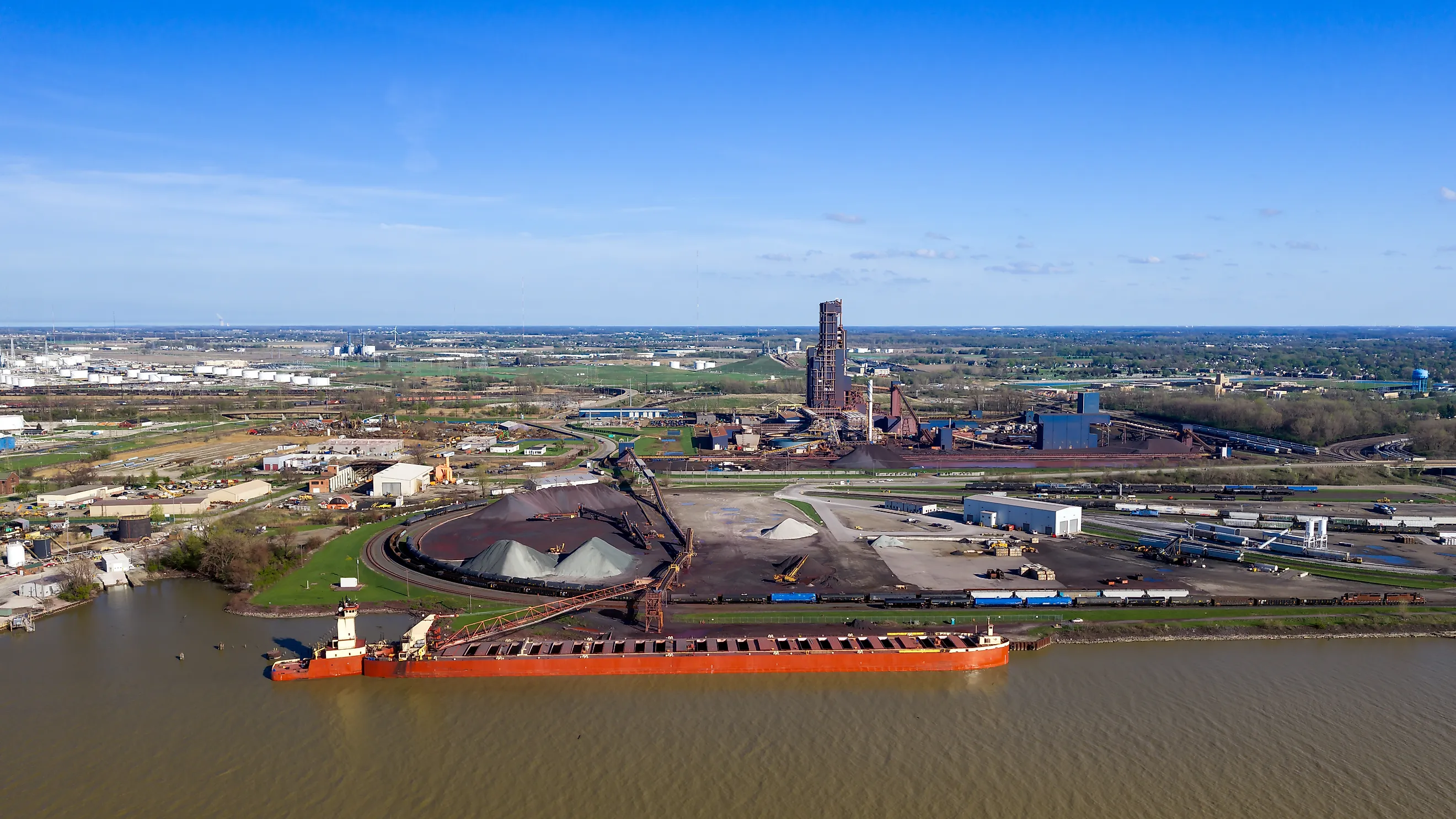
Below Louisville, on the stretch where the Ohio divides Indiana from Kentucky, sits the largest single source of reported toxic discharge on the river. The Cleveland-Cliffs steel plant in Rockport, Indiana, is one of about 580 permitted discharges into the Ohio. In 2020, it released more than 11.9 million pounds of toxic chemicals into the Lower Ohio-Little Pigeon watershed, making it the worst industrial water polluter in the United States that year. The watershed took in a little over 12 million pounds in total, the most of any local watershed in the country.
Nearly 11 million pounds of the Rockport discharge was nitrates. Nationwide, nitrate compounds made up more than 90 percent of the toxic chemicals released into waterways by weight in 2020. Nitrate is a form of nitrogen, the same nutrient that, along with phosphorus, feeds algae blooms when it builds up in the water.
The Ohio's Fish Come With Meal Limits

For people who fish the Ohio, the concern runs the full length of the river. All 981 miles are listed as impaired for fish consumption because of PCBs and dioxin, and PCBs are the main reason for the advisories the bordering states issue. Those advisories set limits as loose as one meal a week and as strict as do not eat. As of 2020, ORSANCO advised eating seven species, including sauger, black bass, and striped bass, no more than once a month from one 135-mile section.
The fish themselves are holding on. More than 160 fish species and over 45 kinds of freshwater mussels live in the Ohio, and ORSANCO rates the entire river as fully supporting aquatic life.
The Ohio's Nutrients End Up In The Gulf

At Cairo, the Ohio joins the Mississippi, and the combined river carries nitrogen and phosphorus to the Gulf. The Ohio and Tennessee basins together cover about 17 percent of the land draining to the Gulf, yet from 1981 to 2005 they supplied 34 percent of the nitrogen and 31 percent of the phosphorus that reached it, according to the US Geological Survey. Across the whole Mississippi system, farms are the source of more than 70 percent of those nutrients.
In the Gulf, the nutrients feed an overgrowth of algae. As the dead algae decompose, the process uses up the oxygen in the water and leaves a hypoxic area, or dead zone, off Louisiana and Texas. NOAA measured it at 6,705 square miles in 2024 and 4,402 in 2025, and in July 2026 it shrank to 1,332, the second smallest in 40 years of measurements. Inside the zone, NOAA says, most marine life either dies or, in the case of mobile animals such as fish, leaves the area.
The Tijuana River Carries Sewage Across The Border

Measured by raw sewage instead of industrial chemicals, a river on the other side of the country presents a different problem. The Tijuana River flows north out of Mexico into San Diego County and reaches the Pacific near Imperial Beach. Since 2018, more than 100 billion gallons of raw sewage, mixed with industrial chemicals and trash, have poured into it, according to the International Boundary and Water Commission. A treatment plant on the US side was expanded to 35 million gallons a day in August 2025, and the first contract to take it to 50 million was awarded in September 2026.
The beach at Imperial Beach has been closed on all but a handful of days since late 2021. The sewage also gives off hydrogen sulfide, and a study published in Science in August 2025 recorded peak concentrations 4,500 times typical urban levels. In a 2024 county and CDC survey representing the roughly 40,000 households near the river, 71 percent said they could smell sewage inside their homes and 69 percent had someone get sick from the exposure.
A second border river runs through Imperial County. The New River flows north from Mexicali through Calexico to the Salton Sea, and California's environmental agency calls it one of the most polluted rivers in the nation. About two-thirds of its flow is agricultural runoff from Imperial County farms.
The Ohio holds its title on volume. When national analyses of federal discharge data ranked rivers, for 2007, 2010, and 2013, the Ohio came first, and its basin still led every watershed region in 2020. More than 25 million people, about a tenth of the country, live in that basin. A river this large dilutes much of what it receives, and in February 2023 the high, fast Ohio thinned the East Palestine chemicals before they reached Cincinnati. Dilution lowers a concentration without shrinking the total load. The nitrogen and phosphorus that enter the Ohio, from farm fields and from plants like the one at Rockport, travel on past Cairo and down the Mississippi, and each summer they help set how much of the Gulf turns into water where fish can't stay.