The American Towns At The Tip Of A Peninsula
A town located at the tip of a peninsula is isolated, with a single road serving as both the entry and exit. Since any visitor must find worth in the journey, these towns often develop unique economies and resilient characters. Some became art hubs due to the low cost of isolation; others turned into fishing ports because of their waters, and one even became an American exclave accessible only via Canada. Their common trait is geography that reaches its end, shaping a distinct identity shaped by living where the map stops. These towns at the very edge of an American peninsula illustrate how their remote locations influence their character.
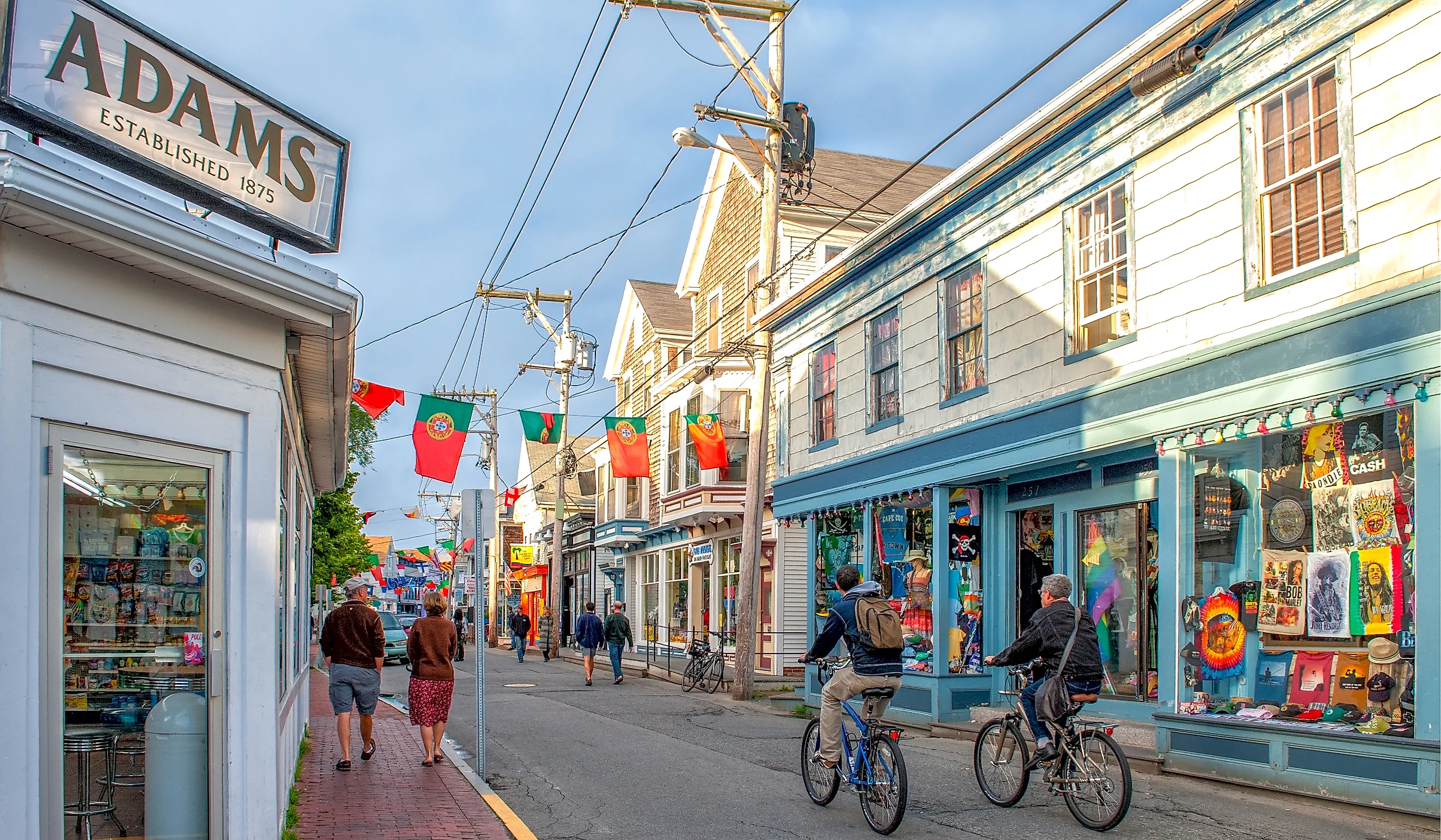
Provincetown, Massachusetts

The quintessential American example: Cape Cod extends northward and then curves west. Provincetown sits at the very tip of this hook, about 60 miles into the Atlantic from mainland Massachusetts. The land there is younger than most of the Cape, having formed from marine sediments carried by the ocean over approximately 6,000 years. In contrast, the rest of Cape Cod was shaped by the Laurentide ice sheet 15,000 to 18,000 years ago, making Provincetown's tip the newest and least stable ground in the area.
This was also the first landfall. The Mayflower anchored here on November 11, 1620, arriving weeks before Plymouth. The Pilgrim Monument, a 252-foot granite structure finished in 1910, commemorates this. The area's seclusion fostered an art colony, followed by a theater scene that propelled Eugene O'Neill's career, and eventually became one of the most renowned LGBTQ-friendly resort towns in the nation. Its combination of low cost, remoteness, and natural beauty has consistently contributed to this progression.
Point Roberts, Washington

The strangest entry in American geography, and it exists because of a drafting error.
When the 1846 Oregon Treaty established the border at the 49th parallel, neither side had accurately surveyed the Tsawassen Peninsula, which extends from British Columbia across the border. As a result, about five square miles of U.S. territory remain attached to Canada, separated from the main part of Washington by water.
Approximately a thousand residents live there, with their own school, fire department, library, and marina. Traveling to the American mainland requires crossing into Canada, navigating around Boundary Bay, and crossing back, resulting in two international border crossings for a domestic trip. During the pandemic, when the border was closed, the town was essentially isolated from its own country.
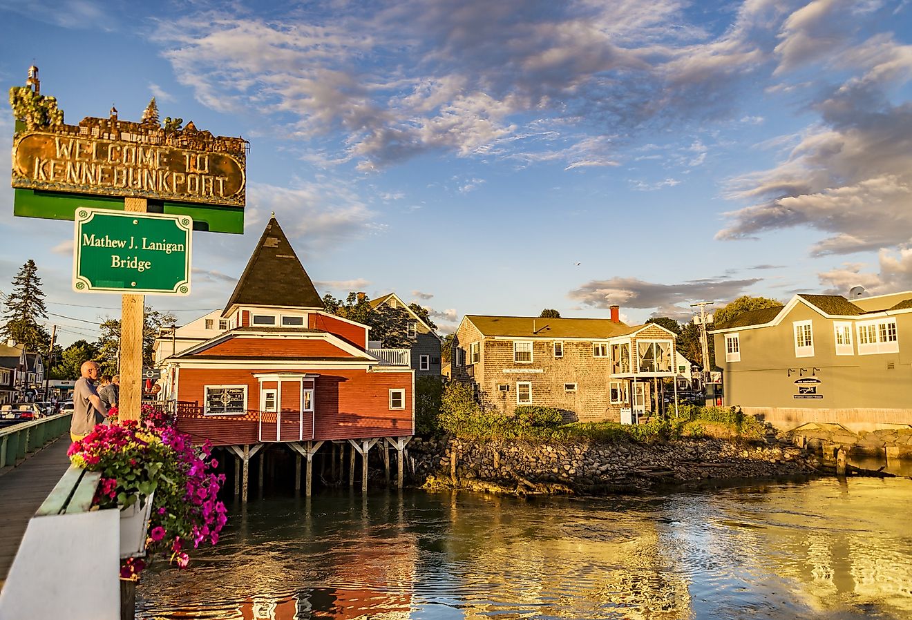
Lubec, Maine

Lubec, located in Maine, is the easternmost town in the continental United States, situated on a headland that grants it this superlative. The iconic West Quoddy Head Lighthouse, painted with distinctive red and white stripes and erected in 1858, stands at the very tip of this land. During the autumn equinox, it becomes the first point in the contiguous US to witness the sunrise.
The economic impact of being at the map's edge is evident here. Lubec, once a bustling sardine cannery town with thousands of residents, now has only a few hundred. Its position as the easternmost point attracts visitors, but it does not foster an industry.
Homer, Alaska

Homer is positioned near the southern tip of the Kenai Peninsula in Alaska, extending into the water due to its own smaller peninsula. The Homer Spit extends 4.5 miles into Kachemak Bay, created by glacial moraine left by retreating ice, and is constantly reshaped by currents. The town's busy center features the boat harbor, seafood restaurants, charter docks, and shops all located along this narrow strip, which is a gravel formation flanked by water on both sides. Locals refer to the end of this stretch as the "end of the road," emphasizing that Alaska's highway system stops there.
Cape May, New Jersey

Cape May, located at the southern tip of New Jersey where Delaware Bay meets the Atlantic Ocean, is the country’s oldest seaside resort. Its strategic location helped preserve its architecture; in the mid-1800s, Cape May was a popular destination. As the resort industry shifted northward to Atlantic City, the town became too remote for redevelopment. Consequently, its Victorian houses remained intact, and today, the entire city is designated as a National Historic Landmark District with about 600 preserved buildings.
Being at this point places it within a migratory funnel. Birds traveling south along the peninsula gather at the tip before crossing the bay, making Cape May one of North America's top birding locations and providing the town with a shoulder season that most beach resorts lack.
Copper Harbor, Michigan

The Keweenaw Peninsula extends northeast from Michigan's Upper Peninsula into Lake Superior, with Copper Harbor at its tip, making it one of the northernmost points accessible by road in the state. The town's existence is tied to the mineral in its name. The Keweenaw was home to the world's largest native copper deposits, pure enough for direct use without smelting. Indigenous Ojibwe people had been utilizing this copper for thousands of years before the 1842 Treaty of La Pointe ceded the western Upper Peninsula to the United States. Copper Harbor also hosted the first mineral land agency in the Lake Superior district.
The mining left. The road stayed, and US Highway 41 has one of its two termini here, roughly 2,000 miles from the other end in Miami.
Neah Bay, Washington

Neah Bay is located at the northwest tip of the Olympic Peninsula, within the Makah Reservation, with Cape Flattery just west, marking the northwesternmost point of the contiguous United States. Unlike most towns, which might be situated by chance, Neah Bay is centered around the peninsula's tip. The Makah have inhabited this area for thousands of years due to its exceptional fishing and whaling opportunities, thanks to the convergence of the Strait of Juan de Fuca and the Pacific Ocean.
The drive out is three hours from the nearest interstate along the strait, and the town remains one of the more remote road-accessible communities in the Lower 48.
What The Position Actually Does

Three patterns hold across almost all of them.
Unchangeable aspects help preserve history. Cape May kept its Victorian buildings because there was no need to demolish them, while Provincetown sustained a lively art scene well after mainland prices pushed others away. Towns on the way to somewhere else are often redeveloped, but those at the end of the line usually are not. Economic activity there tends to be limited and seasonal. A single road leads to one flow of visitors, mostly in summer, with minimal activity during the rest of the year. Lubec demonstrates what occurs when the original industries leave but the landscape stays.
And the exposure is real. A peninsula tip takes weather from three sides, and in Provincetown's case the ground itself is only a few thousand years old and still moving. These are the most beautiful addresses in American geography and the least sheltered.