Why So Many Big American Cities Were Built On A River
Take the rivers away, and most of America’s great cities would never have grown past a few hundred people. For almost all of the country’s history, water was the cheapest way to move anything heavy, which made the right bend or drop in a river worth a fortune. New Orleans sat at the mouth of a continent’s worth of trade, while Louisville exists only because boats hit a run of rapids and could go no farther. The strange part came later, when several of these cities spent decades undoing the exact waterway they had been founded on.
River Ports Connected Inland Farms To Overseas Buyers

New Orleans occupied a valuable position between the Mississippi Valley and the sea. French colonists founded it in 1718, with instructions to establish a city that could block rival powers from advancing upriver. Indigenous people had already identified another advantage: a ridge connected the Mississippi to Bayou St. John and Lake Pontchartrain.
For inland producers, getting goods downriver to a port opened markets that were expensive to reach overland. Merchants could gather shipments for export, and waterfront businesses handled the transfers. Control of New Orleans mattered far upstream: Americans secured navigation and deposit rights there under Pinckney's Treaty with Spain in 1795.
New York gained a different inland connection when the Erie Canal opened in 1825. Its original 363-mile route linked Buffalo with Albany, connecting Lake Erie to the Hudson River. Cargo could then continue toward New York Harbor. An Atlantic port now had a water route deep into the continent, which helped New York become the nation's principal seaport.
Louisville Grew Around The Ohio's 26-Foot Drop

The Falls of the Ohio, where the river dropped about 26 feet over roughly two miles, interrupted an otherwise navigable stretch with exposed limestone and rapids. At favorable high water, vessels could pass. In lower water, flatboats and steamboats had to unload above the falls and reload below them. Carrying freight around the obstruction created business on both sides of the bottleneck.
Portland, now a Louisville neighborhood, developed below the falls and had warehouses and shipyards tied to river traffic. Louisville stood upstream.
Then engineers changed the arrangement. The Louisville and Portland Canal opened in 1830, allowing vessels that fit its locks to bypass the rapids. Many Portland warehouses and shipyards closed as economic power shifted toward Louisville.
Chicago Sat Beside A Crossing Between Two Water Systems

Near Chicago, a low divide separated waterways leading to the Great Lakes from those leading toward the Mississippi. Indigenous travelers used a portage, carrying canoes and goods between the two systems. Marquette and Jolliet followed this established route in 1673.
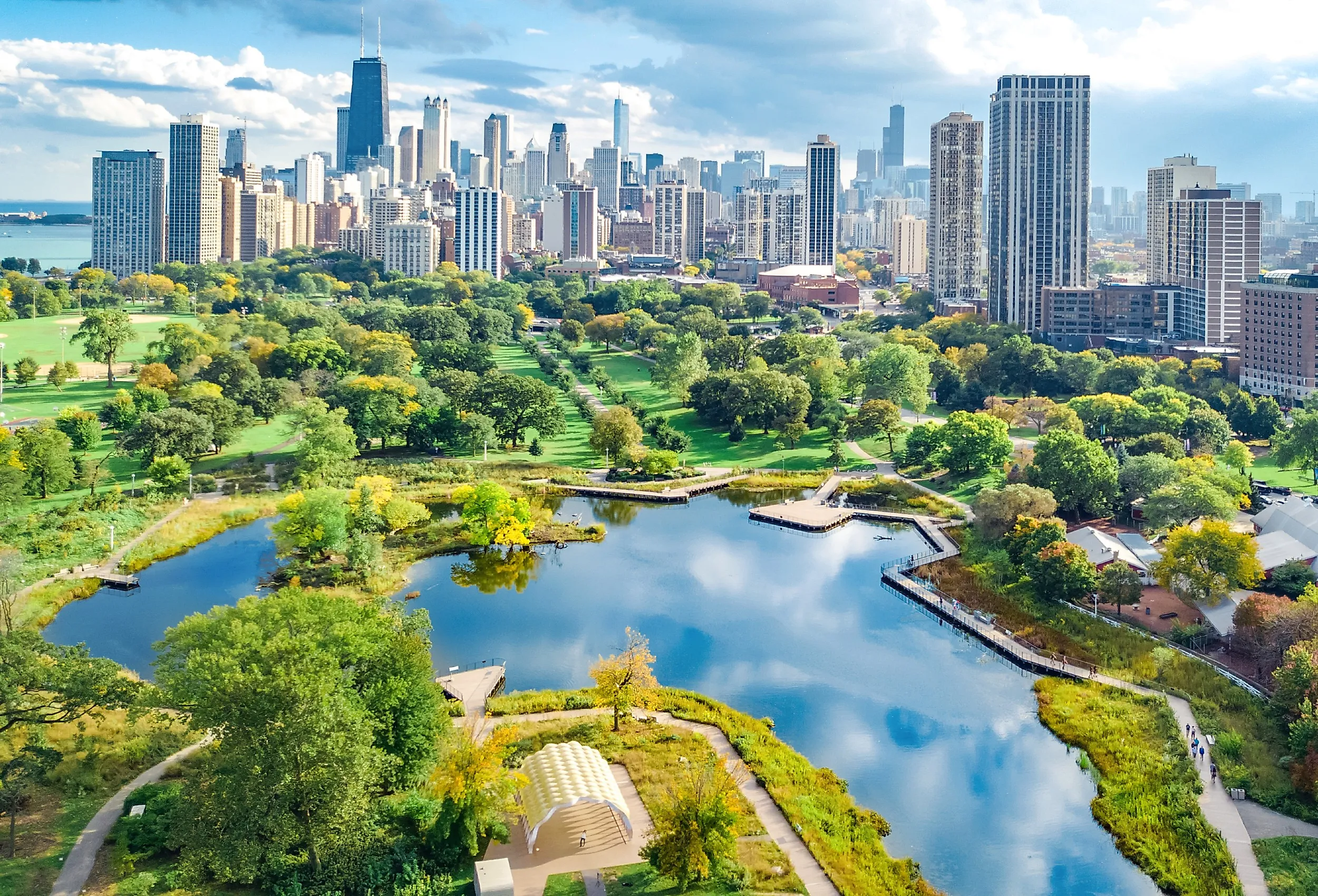
Chicago's position near Lake Michigan and this inland connection made it useful far beyond its own river's size. The Illinois and Michigan Canal opened in 1848, creating a navigable link between the Chicago and Illinois rivers. Freight could travel between the Great Lakes and the Mississippi system without the old overland carry. Rail connections developed alongside the canal, expanding the city's reach. The portage's western end is preserved today at Chicago Portage National Historic Site, in Lyons, Illinois, southwest of downtown Chicago.
A Waterfall Powered Minneapolis's Flour Mills

At St. Anthony Falls, the Mississippi supplied energy that manufacturers could use directly. Water flowing through the mills drove their machinery. Sawmills developed around the falls before flour milling became the dominant business. By the mid-1850s, Minneapolis mills were grinding wheat grown in the surrounding region. That grain supply expanded across Minnesota and the Dakotas, and railroads brought western wheat to the city. Conventional millstones left hard spring wheat flour speckled with bran. During the 1860s and 1870s, millers improved the separation and grinding process with the middlings purifier and, later, roller mills, producing flour that could compete in distant markets.
The remains are visible at Mill Ruins Park, beside the Stone Arch Bridge. Excavated mill structures and canals occupy the riverbank where water once powered the machinery. Nearby, Mill City Museum occupies the ruins of the Washburn A Mill.
Los Angeles Needed River Water For Its Fields And Homes

The Spanish pueblo established in 1781 relied on the Los Angeles River for its water supply. Tongva communities had lived along the river long before the colonists arrived. Water diverted into the Zanja Madre, or Mother Ditch, supported the settlement and its agriculture. Gravity determined where that water could go. Fields below the diversion could be irrigated through branching ditches; land above them could not be irrigated by gravity through that system. Water carriers also hauled supplies to households.
A growing population eventually needed a much larger supply. The Los Angeles Aqueduct began delivering Eastern Sierra water in November 1913. Its original route stretched 233 miles. Los Angeles voters had approved $24.5 million for construction in 1907, and the workforce peaked at around 4,000 laborers over the five-year effort.
Atlanta Began At The End Of A Railroad

In 1837, engineers chose the southern terminus of the Western and Atlantic Railroad on a ridge about seven miles east of the Chattahoochee River. The settlement that developed there was called Terminus. It became Atlanta, with additional rail lines strengthening its role as a transportation center. The railroad's Zero Mile Post, installed in the 1850s, is now displayed at Atlanta History Center. Beside it stands the locomotive Texas, built in 1856 for the same railroad.
San Francisco Grew Around A Harbor, Not A River

San Francisco is the clearest exception to the river pattern. The city expanded around a deep natural harbor rather than a trade route inland, especially after the discovery of California gold in 1848. Ships carried newcomers into the bay, and the waterfront expanded so quickly that part of downtown now occupies filled land over the former Yerba Buena Cove. Buried Gold Rush vessels remain beneath parts of the financial district.
Cities Later Remade Their Own Rivers

Chicago eventually faced a problem created by its own use of the river: sewers discharged into waterways that drained toward its drinking-water supply. The Chicago River carried that waste toward Lake Michigan. In 1889, the Sanitary District of Chicago was formed to address the contaminated river and protect the lake supply. In 1900, the district reversed the river through the new Chicago Sanitary and Ship Canal. Wastewater flowed toward the Des Plaines and Illinois rivers, eventually reaching the Mississippi. The project protected Chicago's lake supply by sending pollution downstream. The district's first sewage-treatment plant, at Calumet, followed in 1922, more than two decades after the reversal.
The reversal shows that the water advantages behind these cities were never fixed. Each place kept re-engineering its relationship with its river, deepening channels, cutting canals, or piping supply in from hundreds of miles away, long after the original advantage of the site had faded.