Chattahoochee River
The Chattahoochee River is a 690km long river that forms a part of the boundary between the US States of Florida and Georgia, as well as the southern part of the boundary between Georgia and Alabama.

The major tributary of the Chattahoochee River is the 180km long Apalachicola River that is formed by the meeting of the Chattahoochee and Flint Rivers. The three rivers form the Apalachicola-Chattahoochee-Flint River basin and eventually drain into the Gulf of Mexico via the Apalachicola Bay.
Geography

The Chattahoochee River rises in Jacks Gap at the southeastern base of Jacks Knob Mountain, which is situated in the southern part of the Blue Ridge Mountains, in the extreme southeastern corner of Georgia’s Union County. The headwaters of the Chattahoochee River flow southwards from the ridges that form a part of the Tennessee Valley Divide, and the upper headwaters of the river is crossed by the Appalachian Trail. Both the source of the Chattahoochee River and its upper course are situated within Georgia’s Chattahoochee National Forest.

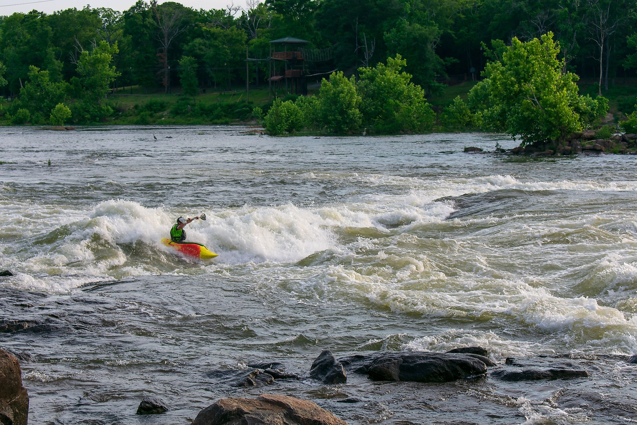
From its source, the Chattahoochee River flows southwestwards to the city of Atlanta where it passes through the suburbs of Georgia’s capital city. The river then turns in the southward direction and forms the southern part of the boundary between Georgia and Alabama. From here, the river flows through many artificial lakes and reservoirs, and also passes by the city of Columbus where it crosses the Atlantic Seaboard Fall Line of the Eastern United States. The Chattahoochee River then forms a part of the boundary between Georgia and Florida and joins with the Flint River and several other tributaries at Lake Seminole close to the city of Bainbridge. The convergence of the Chattahoochee and Flint Rivers forms the Apalachicola River near the city of Chattahoochee in Florida. From here, the Chattahoochee River is named the Apalachicola River which eventually drains into the Gulf of Mexico via the Apalachicola Bay.

The Chattahoochee River forms the largest part of the Apalachicola-Chattahoochee-Flint River Basin and drains an area of 22,700 sq. km. The Chattahoochee River discharges an average of 286 cubic meters of water per second and a maximum of 5,500 cubic meters of water per second. Several dams and reservoirs like the Buford Dam, Lake Lanier, Lake Seminole, Walter F. George Lake, Lake Oliver, West Point Lake, George W. Andrews Lake, Bull Sluice Lake, etc have been constructed along the course of the Chattahoochee River to generate hydroelectricity, control floods and provide water for domestic and industrial purposes.
Brief History

The name Chattahoochee has been derived from a Creek word which means “rock-painted”, where Chatto means “rock” and Hoche means “marked or flowered." The name is believed to have originated from the numerous colorful granite outcrops along the northeast to the southwest segment of the Chattahoochee River. It is also believed that the area along the Chattahoochee River was inhabited by many indigenous people since 1000BC. The river became the dividing point for the Creek Confederacy and also served as a dividing line between the Creek territories in the east and the Cherokee territories in the west.
The Chattahoochee River gained immense strategic importance during the Atlanta Campaign of the American Civil War. In a region situated between the Proctor Creek and Nickajack Creek tributaries in the counties of Cobb and Fulton, there are about nine Shoupades that were built by the Confederate Army in July 1864. The Battle of Columbus and the Battle of West Point also took place at important junctions of the Chattahoochee River. Since the beginning of the 19th century, many improvements have been made in the Chattahoochee River for navigation purposes and since then the river became an important navigation route. Nevertheless, the Chattahoochee River is prone to occasional flooding and a major flooding event took place in 2009.


