US Route 1: The Longest North-South Highway In America
US Route 1 stretches more than 2,300 miles from Fort Kent, Maine, to Key West, Florida, making it the longest north-south route in the US numbered highway system. Unlike an interstate, US 1 is not a single road built from scratch at one time. It is a numbered route that follows roads built and maintained by individual states.
The distinction matters because US 1 has never been one continuous physical road. Its designation has moved as states built bypasses and changed highway alignments. The superlative therefore applies to the signed US 1 route rather than to a single uninterrupted stretch of pavement.
Exact mileage varies among route logs because the route has changed over time. The Federal Highway Administration notes that the 1989 American Association of State Highway and Transportation Officials log listed the route at 2,593 miles. Despite those changes, the signed route still runs between the Canadian border and the Florida Keys.
How US 1 Got Its Number

US 1 officially became part of the national highway system in 1926, when state highway officials adopted a standardized network of numbered routes. Before then, major roads were commonly identified by names such as the Atlantic Highway, Lincoln Highway, and Jefferson Highway rather than a single numbering system.
The system was designed to make long-distance travel easier to understand as automobiles became more common. Instead of relying on locally named roads that changed from one community to the next, motorists could follow the same number across state lines. North-south routes received odd numbers, with the principal routes generally ending in 1. US 1 was designated to run along the eastern seaboard from Fort Kent, Maine, to Miami, Florida.

The route followed roads that were much older than the US highway system itself. Colonial merchants, wagon drivers, and stagecoach passengers had traversed many of the same corridors for generations. The Federal Highway Administration notes that portions of the route developed from early trails and wagon roads connecting settlements along the Atlantic coast.
That history helps explain why US 1 does not always follow the most direct modern route. Instead, it passes through or near many of the cities that became important during the country's early development.
From Maine Through New England

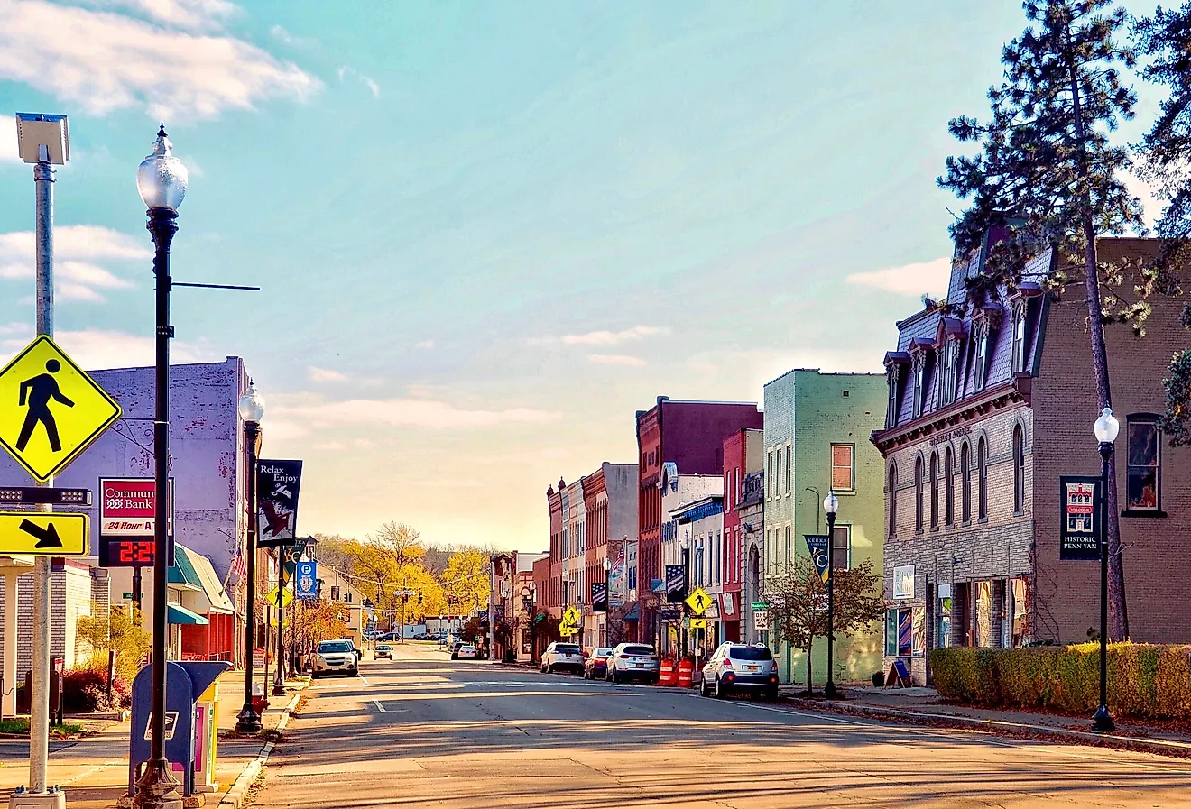
US 1 begins at the Canadian border in Fort Kent, Maine, where the route enters the state from New Brunswick. From there, it travels through northern Maine before turning south toward the coast, passing through communities including Bangor, Portland, and Kittery. In northern Maine, US 1 passes through sparsely developed forest country before entering older coastal communities and increasingly populated areas farther south.

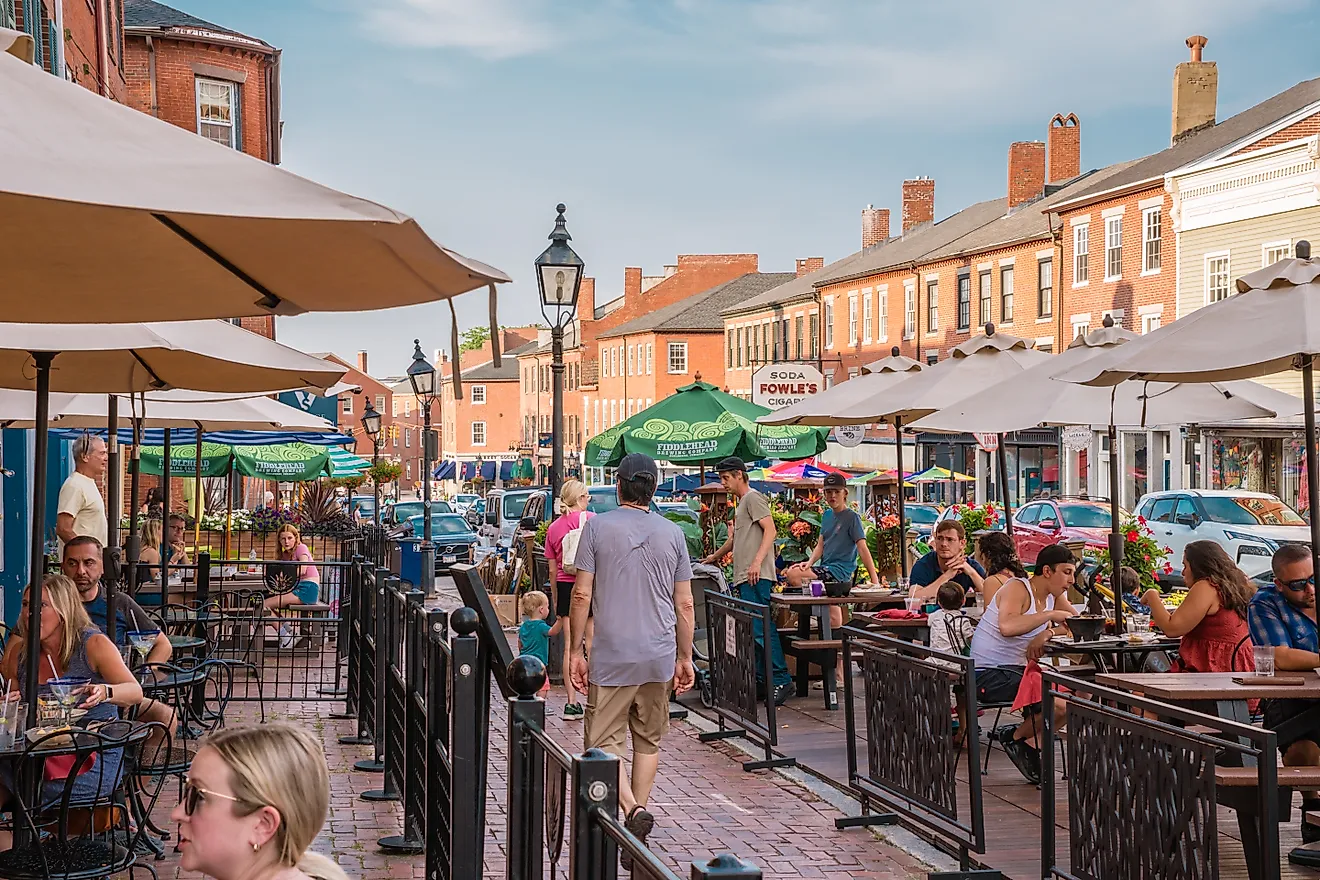
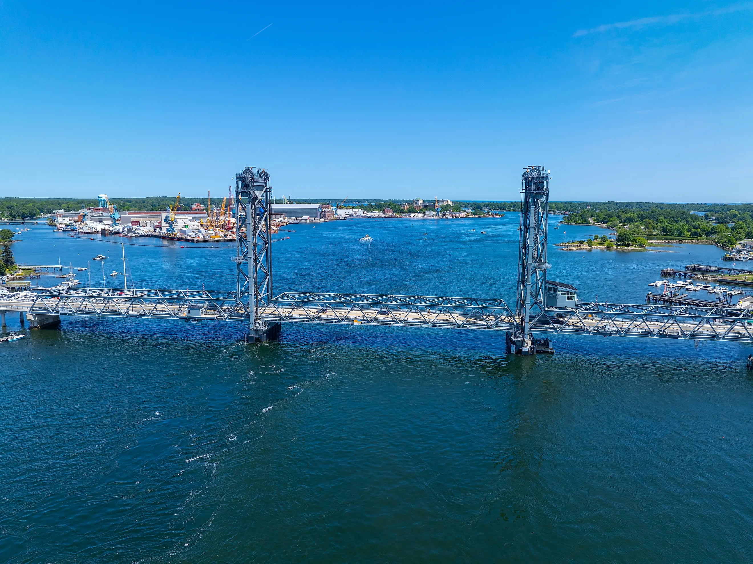
The highway continues through New Hampshire and Massachusetts, reaching Portsmouth, Boston, and other communities before entering Rhode Island and Connecticut. By the time it reaches New England's larger cities, US 1 has shifted from a rural highway into a network of streets carrying local traffic through commercial districts and developed neighborhoods.
The Route Through The Northeast

After crossing Connecticut, US 1 reaches the New York metropolitan area and continues through New Jersey and Pennsylvania. It passes through or near New York City, Trenton, and Philadelphia before continuing south toward Baltimore. Its path often follows the fall line, where rivers descending from the Piedmont reach the coastal plain, creating natural locations for settlements, trade, and transportation. In many places, US 1 follows transportation corridors that were already important when the country was young.
From The Capital To The South

US 1 crosses into Maryland and passes through Baltimore before reaching Washington, DC. It then continues through Virginia, North Carolina, and South Carolina. In Virginia, the highway passes through Fredericksburg, Richmond, and Petersburg. Farther south, it travels through Raleigh and Columbia before entering Georgia and heading toward Florida.
For much of this stretch, US 1 runs roughly parallel to Interstate 95. The two routes are not interchangeable: I-95 was constructed decades after US 1 as a limited-access interstate, while US 1 passes through communities and often functions as a local street as well as a long-distance route. A trip on I-95 is primarily about covering distance efficiently, while US 1 passes through downtowns, commercial strips, and historic communities along the same corridor that once carried stagecoaches and early automobiles.
The Road To Key West

US 1 travels south through Jacksonville, St Augustine, and other Florida communities before reaching the state's southern peninsula. In the Miami area, the highway turns toward the Florida Keys and eventually becomes the Overseas Highway.
The Overseas Highway was opened in its improved form in 1938, connecting the Florida mainland with the Keys. In 1939, the US Route 1 designation was extended to Key West, which set the highway's present endpoints.
The highway follows much of the route of Henry Flagler's Overseas Railroad, which reached Key West in 1912 before being severely damaged by the Labor Day hurricane of 1935. The railroad's bridges and right-of-way were later incorporated into the highway project.
Instead of moving through inland cities and towns, the highway crosses a chain of islands connected by bridges. Long stretches of the Overseas Highway pass over open water, and the causeways and bridges form one of the most recognizable landscapes along the entire route. Several of the bridges date to earlier transportation infrastructure, giving the Overseas Highway a history that predates the modern road itself.

A route that began among northern forests and crossed some of the nation's oldest cities eventually runs across the waters of the Florida Keys. The highway eventually reaches Key West, where US 1 officially ends at Mile Marker 0. The sign has become a familiar photo stop for visitors, marking the southern end of the country's longest north-south US route.
What Happened After Interstates

US 1 was designed during an era when highways were the country's primary option for long-distance automobile travel. The Interstate Highway System changed that role after construction accelerated in the 1950s and 1960s. As newer limited-access highways were built, US 1 increasingly became a slower alternative. It retained its role as a major local street in many cities and towns, while long-distance travelers shifted to interstate routes such as I-95.
The route itself also continued to change. According to FHWA, states have repeatedly moved US 1 onto bypasses when new roads were constructed, sometimes shifting the designation onto roads that run parallel to the original alignment. In some places, the US 1 designation has even been placed on segments of I-95. That means that, as a whole, today's US 1 is not exactly the same physical road that carried the designation when the national highway system was created. What has endured is the numbered corridor connecting the northern tip of Maine with the southernmost reaches of the Florida Keys.
A Highway With Centuries Of History
US 1's significance goes beyond its mileage. The highway follows transportation corridors that existed long before the 1926 numbering system. It connects colonial-era cities, major East Coast population centers, Southern communities, and the islands of the Florida Keys. Its northern endpoint sits at the Canadian border in a forested corner of Maine; its southern endpoint stands beside the tropical waters of Key West.
Few American roads trace the evolution of the country's transportation network as clearly, from early trails and wagon roads to numbered highways and, eventually, the Interstate Highway System.