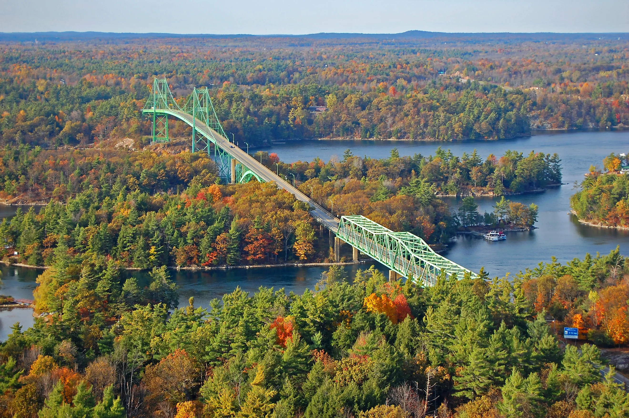
8 Great Road Trips to Take in The Great Lakes
The Great Lakes do not have one shoreline. North of Marquette, the road crosses ancient gneiss, and Lake Superior washes against rare granitic bedrock. Near Port Bruce, Lake Erie's glacial bluffs lose several feet in an average year. On the Lake Michigan side, the dunes at Mears keep moving inland. These eight road trips follow the water downstream, with Superior first and the St. Lawrence River last. Each one runs a different kind of shore.
Marquette to Big Bay via County Road 550

County Road 550 climbs out of Marquette and heads north through Marquette County to Big Bay. The 27.1-mile drive takes about 34 minutes. Compeau Creek Gneiss, probably at least 2 billion years old, forms Sugarloaf Mountain and nearby Hogback Mountain.
Sugarloaf is the first stop. A county-owned trail of 3,200 feet, part path and part stairway, climbs to a summit 470 feet above Lake Superior, with viewing platforms on top.
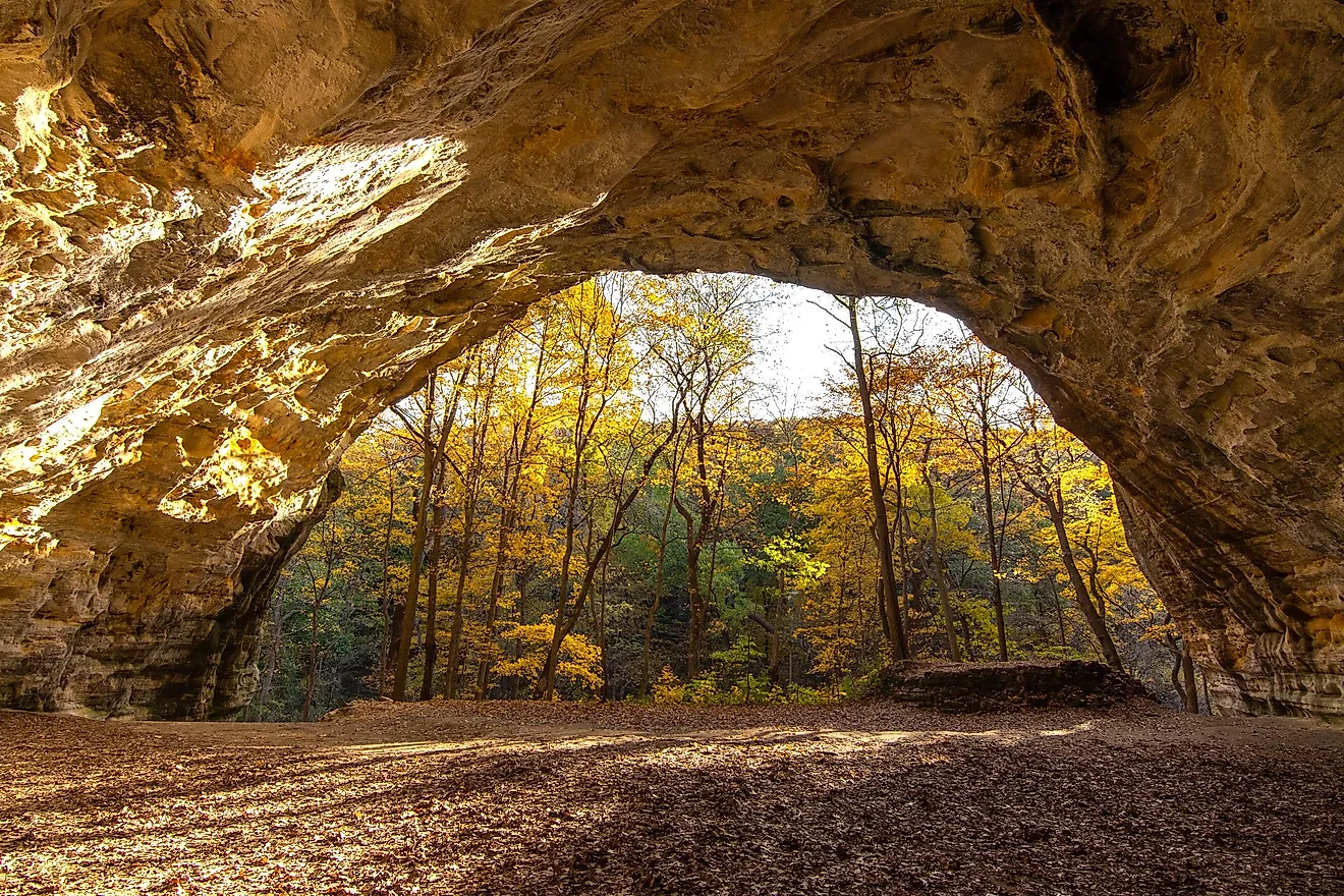
The shore below the mountain belongs to Little Presque Isle, a state natural area. According to the Michigan Department of Natural Resources, granitic bedrock is the least common bedrock type along the Great Lakes shoreline. Less than 8 miles of it exists in total. Sandstone cliffs there reach nearly 60 feet, and parking requires a Recreation Passport.
The road ends at Big Bay, in Powell Township. The Thunder Bay Inn still serves lunch and dinner daily, and its own history credits Hollywood with building the restaurant as a set for Anatomy of a Murder. Big Bay Point Lighthouse, first lit in 1896, has operated as a bed and breakfast since 1986. Its grounds are open only to inn guests and to paid tours by appointment.
Muskegon State Park to Mears via Scenic Drive

North of Muskegon, Scenic Drive runs through Muskegon County along Lake Michigan and past Duck Lake toward Oceana County. The full route to Mears is 51.9 miles, or about 90 minutes behind the wheel. Michigan's dunes form the largest collection of freshwater dunes in the world. U-shaped parabolic dunes are the most common kind along this coast.
Scenic Drive passes through Muskegon State Park and its 2 miles of Lake Michigan shoreline, where the Civilian Conservation Corps built a blockhouse in the 1930s. At Duck Lake State Park, a shallow channel connects Duck Lake to the big lake, and dunes rise along the shore.
White River Light Station, a brick building with a 38-foot tower, dates to 1875 and now runs as a museum. Past Whitehall, the route turns west to Meinert Park and follows the lakeshore roads north.
Little Sable Point Light follows. The 1874 tower stands over 100 feet tall. It still carries its original third-order Fresnel lens. Silver Lake State Park then covers 2,000 acres of sand dunes, and those dunes are advancing into Silver Lake itself. Two-thirds are for walkers only. The 450-acre off-road vehicle area is the only sand dune riding area east of the Mississippi River. Its riding season runs from April 1 to October 31.
Collingwood to Meaford via Highway 26

The Niagara Escarpment reaches the southern shore of Georgian Bay, the northeastern arm of Lake Huron, between Collingwood and Meaford. UNESCO named the escarpment a World Biosphere Reserve in 1990. Its caprock here is hard dolostone laid over shale. Highway 26 needs about 33 minutes for the 21 miles.
Collingwood, in Simcoe County, marks the east end with the Collingwood Terminals grain elevator. Its silos went up in 30 consecutive days in 1929, and the town now plans to turn the complex into a hotel.
West of town, the highway enters Grey County. Craigleith Provincial Park fronts Highway 26, and its shoreline is fractured plates of shale carrying fossils 450 million years old. The park is open from April into mid-October.
In Thornbury, the Beaver River flows past the Thornbury fishway, an open channel near the river mouth. Chinook salmon run there from late August to late October. The Georgian Trail covers about 21 miles between Collingwood and Meaford, open to hikers, cross-country skiers, and snowshoers.
Meaford's harbor closes out the drive. It has 194 serviced boat slips, and its launch season runs May through October.
Nobel to Killbear Provincial Park via Highway 559

Fourteen and a half miles of Highway 559 separate Nobel from Killbear Provincial Park in Carling Township, District of Parry Sound. The drive from Nobel takes 22 minutes. The name Nobel dates to 1913, when construction got underway on an explosives plant. The plant took its name from the Swedish scientist who invented dynamite.
Highway 559 finishes on Georgian Bay's east shore, which is cut into the hard edge of the Canadian Shield. UNESCO designated the Georgian Bay biosphere in 2004, and it calls the Thirty Thousand Islands the largest island archipelago of the North American Great Lakes. The rock is gneiss, a banded stone left from the Grenville Mountains that stood here over a billion years ago.
At Killbear, glaciers scored that gneiss with striations and chattermarks about 12,000 years ago. The Lookout Point Trail loops 2.2 miles to a Georgian Bay view at its midpoint. The half-mile Lighthouse Point Trail reaches the tip of Killbear Point and its Georgian Bay views.
The park closes from early November through New Year's and again from mid-March to early May. Killbear shelters the massasauga rattlesnake, Ontario's only venomous snake and a threatened species. The park has added fencing and five ecopassages at the hot spots where snakes cross its roads. Its visitor center keeps a live massasauga on display.
St. Clair to Algonac via M-29

Lake freighters work the St. Clair River beside M-29. The highway follows the river south from the city of St. Clair through Marine City to Algonac. The 15.3-mile drive in St. Clair County takes about 24 minutes.
The river carries Lake Huron's outflow about 40 miles to Lake St. Clair. Before it reaches Lake St. Clair, the river divides into several channels to form the St. Clair Flats, among the largest freshwater deltas on Earth. Marine City once had five shipyards building boats for the Great Lakes. Its ferry to Sombra, Ontario, stopped running in January 2018 after shifting ice destroyed the causeway.
Algonac State Park is best known for its views of freighters along a half-mile of riverfront. Inland, the park protects lakeplain prairie and oak savanna. Those habitats support 22 threatened, endangered, or special-concern species. Only about 500 acres of these communities remain, per the state, and more than 120 of them are at Algonac.
Algonac calls itself the Venice of Michigan, and its boardwalk follows the river for 1,800 feet. From town, Champion's Auto Ferry crosses to Harsens Island, with continuous summer service from 5 a.m. to midnight.
Port Stanley to Port Burwell via County Road 24 and County Road 42

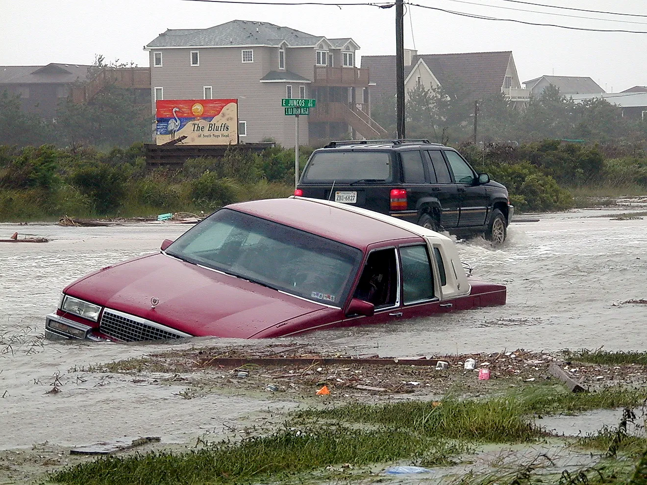
Erosion moves Lake Erie's north shore inland along this part of Elgin County. Water from Lake St. Clair reaches this lake by way of the Detroit River. The bluffs are fine-grained glacial sediment, and they range from about 10 feet to more than 145 feet high. A recent study measured their average retreat at roughly 5 to 6 feet a year.
At 25.5 miles, the route runs about 36 minutes, mostly on County Road 24, known locally as Dexter Line, and County Road 42. Port Stanley divides at the mouth of Kettle Creek. The King George VI Lift Bridge, built in 1938, joins its east and west waterfronts. Main Beach has held Blue Flag certification for more than 16 years.
Port Bruce, in Malahide, marks roughly the halfway point. Port Bruce Provincial Park is a summer day-use beach of about 650 feet near the mouth of Catfish Creek.
Port Burwell, in Bayham, ends the drive where Big Otter Creek meets the lake. Port Burwell Provincial Park has a sand beach of about 1.6 miles. The village's 1840 lighthouse, one of the oldest surviving wooden lighthouses in Canada, is closed to visitors after being declared unsafe. The submarine Ojibwa is open for tours daily through mid-September and on weekends after that.
Wellington to Bath via the Loyalist Parkway and the Glenora Ferry

A provincial ferry carries the Loyalist Parkway across the Bay of Quinte at Glenora. The Niagara River delivers Lake Erie's water north into Lake Ontario, where Prince Edward County reaches into the lake. The parkway, dedicated in September 1984, follows the course of Loyalist settlement in the area, which dates to 1784. Wellington to Bath is 35.0 miles, and the trip runs 65 minutes with the crossing.
All of Prince Edward County rests on Middle Ordovician limestone of the Verulam Formation, and the soil over it is generally less than about 3 feet deep. Sandbanks Provincial Park, reached by County Road 12, protects what Ontario Parks calls the world's largest baymouth barrier dune formation. Its highest dunes reach 59 feet beside West Lake.
In Wellington, the 1885 Quaker meeting house is now the Wellington Heritage Museum. At Glenora, Lake on the Mountain sits about 197 feet higher than Lake Ontario, with no apparent source, next to the ferry landing.
The Glenora Ferry runs year-round, from 6 a.m. to 1:15 a.m., and carries up to 21 vehicles. Boats leave Glenora at least every half hour through the day. On the far side, the United Empire Loyalist Heritage Centre and Park in Adolphustown keeps the Loyalist cemetery established in 1784. Bath's 1861 town hall now houses the Bath Museum, in Loyalist Township, open in summer.
Gananoque to Brockville via the Thousand Islands Parkway
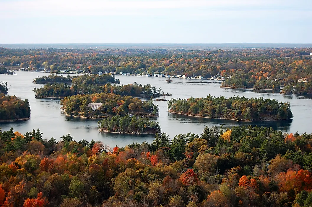
East of Gananoque, the Thousand Islands Parkway tracks the St. Lawrence River through the islands that give it its name. Lake Ontario empties into the river upstream of Gananoque. Brockville is 33.2 miles and 42 minutes away, through the United Counties of Leeds and Grenville. Here the Frontenac Arch crosses the river, a band of ancient Grenville rock linking Ontario's Algonquin Highlands with the Adirondacks in New York.
UNESCO recognized the Frontenac Arch as a biosphere region in 2002, and the biosphere describes the Thousand Islands as a land bridge over the river.
Thousand Islands National Park dates to 1904, the first Canadian national park east of the Rocky Mountains. The Mallory family granted the land for park purposes. The park's visitor center at Mallorytown Landing keeps summer hours, mid-May into early September.
The Canadian span of the Thousand Islands Bridge, dedicated on August 18, 1938, reaches Hill Island with 120 feet of clearance under its suspension span. In Rockport, the Rockport Boat Line has run island cruises for more than 70 years. A paved trail of about 23 miles follows the parkway on land owned by the St. Lawrence Parks Commission.
Brockville closes the drive with the Brockville Railway Tunnel, Canada's first railway tunnel. Its walkway runs about a third of a mile and opens daily from 9 a.m. to 9 p.m. in season.
Downstream, One Shore At A Time
The eight shores differ most in their material. There is granitic bedrock at Little Presque Isle, moving dunes at Silver Lake, and fossil shale at Craigleith. Prince Edward County is limestone under a thin layer of soil, and ferries still carry cars across the water at Algonac and Glenora. The Elgin bluffs lose ground every year, while the gneiss at Killbear still shows the scratches glaciers left on it.