The American Rivers That Did Not Exist Fifty Years Ago
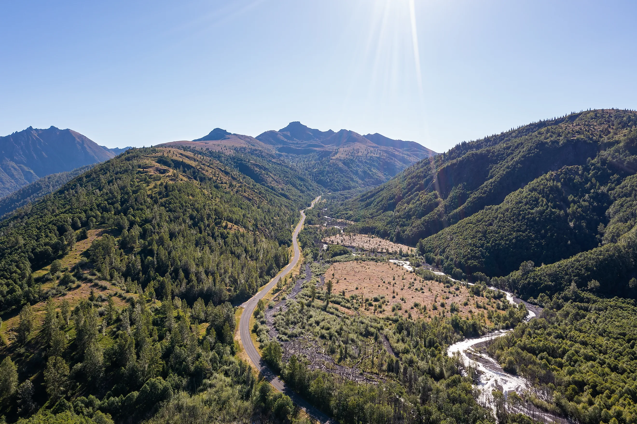
The US Geological Survey uses a precise phrase for what happened to the upper North Fork Toutle River on 18 May 1980. The eruption of Mount St Helens reset 30 kilometers of valley to a zero-state fluvial condition. Not damaged, not diverted. Reset. A 2.5 cubic kilometer debris avalanche buried the valley up to 600 feet deep, erased the drainage entirely, and a new channel system has been building itself on top of the deposit ever since. The rivers flowing there now have a birth date.
The Valley Floor Is Younger Than Most Readers
The North Fork Toutle is described in terms rarely applied to an American river.

Once a mature river, it has transformed into a braided stream of relatively young origin, and the valley floor it runs across dates entirely from 1980. Its headstreams begin on an ash deposit roughly three miles long and 200 feet deep.
Everything the water is cutting through arrived on a single afternoon.
The Channels Formed In One Winter
The speed at which drainage reorganized itself is the part that surprises geologists.

Channels aggraded during the early storms of the 1980 to 1981 winter and then incised during later storms the same winter. Rapid channel changes occurred within the first few years.
A drainage network that would normally take millennia to establish was roughed out in months, because the material it was cutting was loose volcanic debris rather than bedrock.
The Erosion Rates Are World Records
Putting numbers on the process produced figures with few parallels.

Channel development on the debris-avalanche deposit caused net erosion of as much as 130,000 tons per square kilometer annually. The USGS describes the result as some of the largest sediment yields documented anywhere on Earth.
The sediment that slid off the mountain in 1980 is, in the Survey's words, still on its way to the Columbia River and beyond.
Spirit Lake Lost Its Outlet
The eruption did not only create drainage. It destroyed some.

Before 1980, Spirit Lake drained through a stable outlet channel into the North Fork Toutle. The avalanche blocked that outlet and raised the lake surface by between 197 and 206 feet.
Left alone, the volcanic debris dam would eventually have breached and sent catastrophic flooding down the Toutle valley. That risk had to be engineered away.
Its River Is Now A Tunnel
The solution is one of the more unusual pieces of hydrology in the country.

In 1985 an 8,465-foot tunnel was cut through Harry's Ridge to carry Spirit Lake's outflow into South Coldwater Creek, which drains to Coldwater Lake and on into the North Fork Toutle.
A natural lake now discharges through a bored tunnel rather than a river. Plans have been discussed to reconnect it to the North Fork via a natural habitat channel.
Two Lakes Appeared The Same Day
The blast created still water as well as running water.

Coldwater Lake was first flooded on 18 May 1980, formed when debris dammed a valley eight miles north of the volcano. Castle Lake formed the same way about three miles to the south.
Coldwater Creek now drains the lake southwest into the North Fork Toutle, which means that stream is also a product of the eruption.
The Upper River Ran Into The Crater
For two years the drainage did something no river had done there before.

The upper part of the North Fork Toutle watershed was redirected into the crater of Mount St Helens itself until 1982. Water that had always flowed away from the mountain was briefly flowing into it.
That arrangement corrected itself as the new channel network matured, which is a reminder that these drainages are still settling.
A Dam Was Built To Catch The Sediment
Downstream consequences required a structure that exists only because of one eruption.

The Army Corps of Engineers dredged the Toutle through the 1980s and built the Toutle River Sediment Retention Structure on the North Fork in 1989 at a cost of 65 million dollars, to stop debris reaching and clogging the Columbia River shipping channel.
Without it, the navigation channel serving Portland would silt up from material that came off a mountain 70 miles away.
Everything In It Had To Recolonize
A new river arrives without any of the life a river normally carries.

Pre-1980 fish populations in Coldwater Creek and the Toutle River were wiped out by the eruption. The hillsides above were stripped of forest, which is why erosion remains so high four decades later.
Everything living in these waters today arrived after 1980 or was put there.
It Is Still Changing
Forty-six years on, the system has not settled into anything permanent.

Research more than 30 years after the eruption still documented large vertical changes in the deposit filling the upper valley, and the North Fork has remained persistently unstable through its second and third decades.
Researchers have applied channel evolution models to it precisely because it offers something almost unavailable elsewhere: a river observed from birth.
The Short Answer
The newest rivers in the United States run across the debris field north of Mount St Helens, where a 2.5 cubic kilometer avalanche buried 30 kilometers of valley up to 600 feet deep on 18 May 1980 and reset the drainage to nothing. The channels there are 46 years old and were largely cut in the first few winters.

Spirit Lake lost its river entirely and now drains through a tunnel bored in 1985. Coldwater Lake and its creek did not exist before that morning. It is the only place in the country where you can watch a river system from the beginning.