The Mountain Peak Farthest From Any Road In The Lower 48
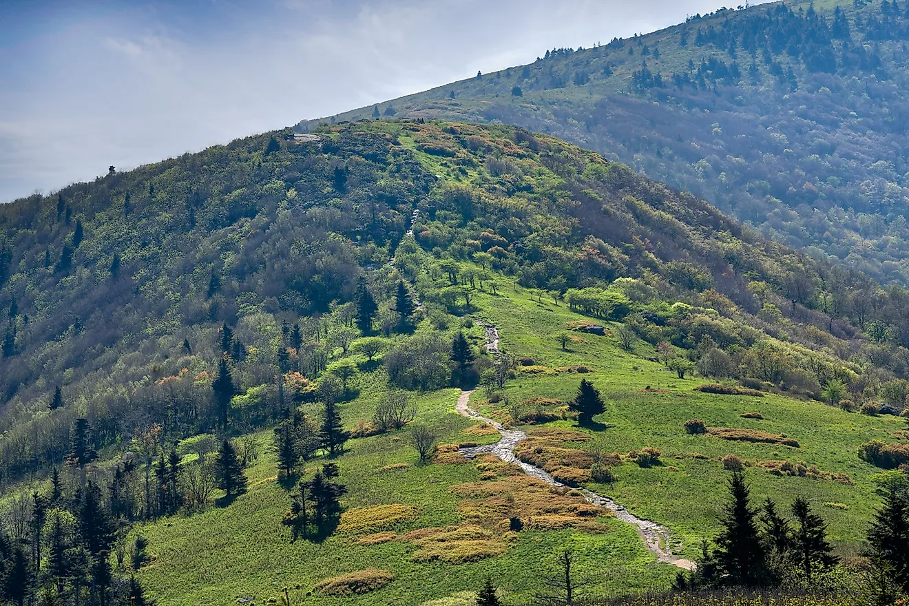
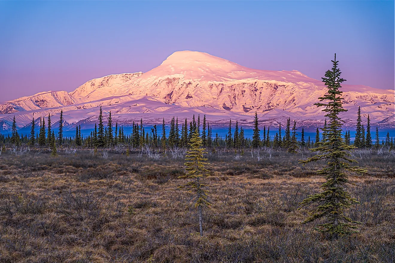
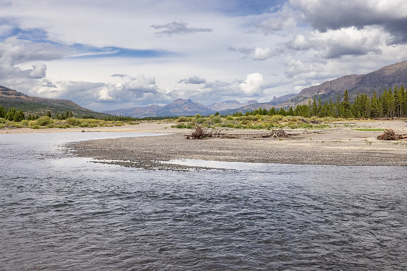
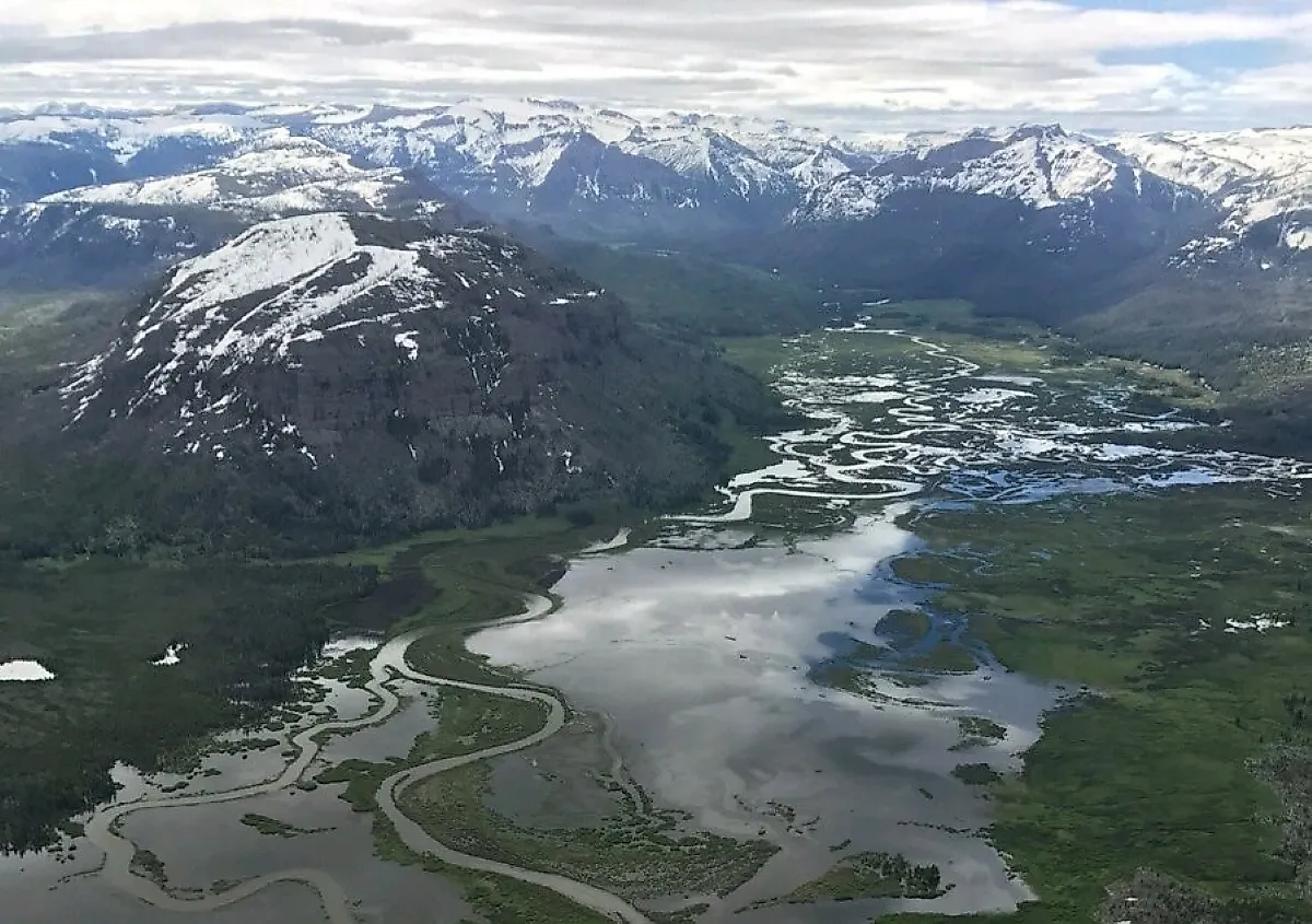
No road comes within about 20 miles of Wyoming's Thorofare, in any direction. Even the trailhead named for the mountain that rises over it cannot be reached by car. That mountain is Hawks Rest, a 9,776-foot summit in the Teton Wilderness that Explore Big Sky has called the farthest peak from a road in the contiguous states. It stands just outside the southeast corner of Yellowstone National Park, above the valley where Thorofare Creek meets the upper Yellowstone River.
The shortest trail from the creek to a road runs 25 miles and crosses the Continental Divide. A seismometer sits on the summit, and every trip to service it takes a few days on horseback. Two miles from the peak, a grizzly once pushed and pulled on the front door of a state wildlife cabin.
Two Valleys Meet Under The Most Remote Summit

Hawks Rest marks the spot where the Thorofare and Yellowstone valleys come together. In 2007, a team of U.S. Geological Survey scientists published a study in the journal Science that measured the roadless space across the contiguous United States. Only a point on the Louisiana coast lay farther from a road than the most remote landlocked spot, which the study placed in the southeastern corner of Yellowstone, about 20 miles from the nearest road.
Later measurements put that ground a little farther out. Project Remote, a hiking team that set out to reach the most remote spot in every state, measured Wyoming's at 21.6 miles from a road, and the Center for Land Use Interpretation puts a 21.7-mile point less than a mile from the Park Service's Thorofare Ranger Station. Those points lie inside the park, a few miles north of the summit of Hawks Rest.
A Summit Between A Creek, A River, And A Lake

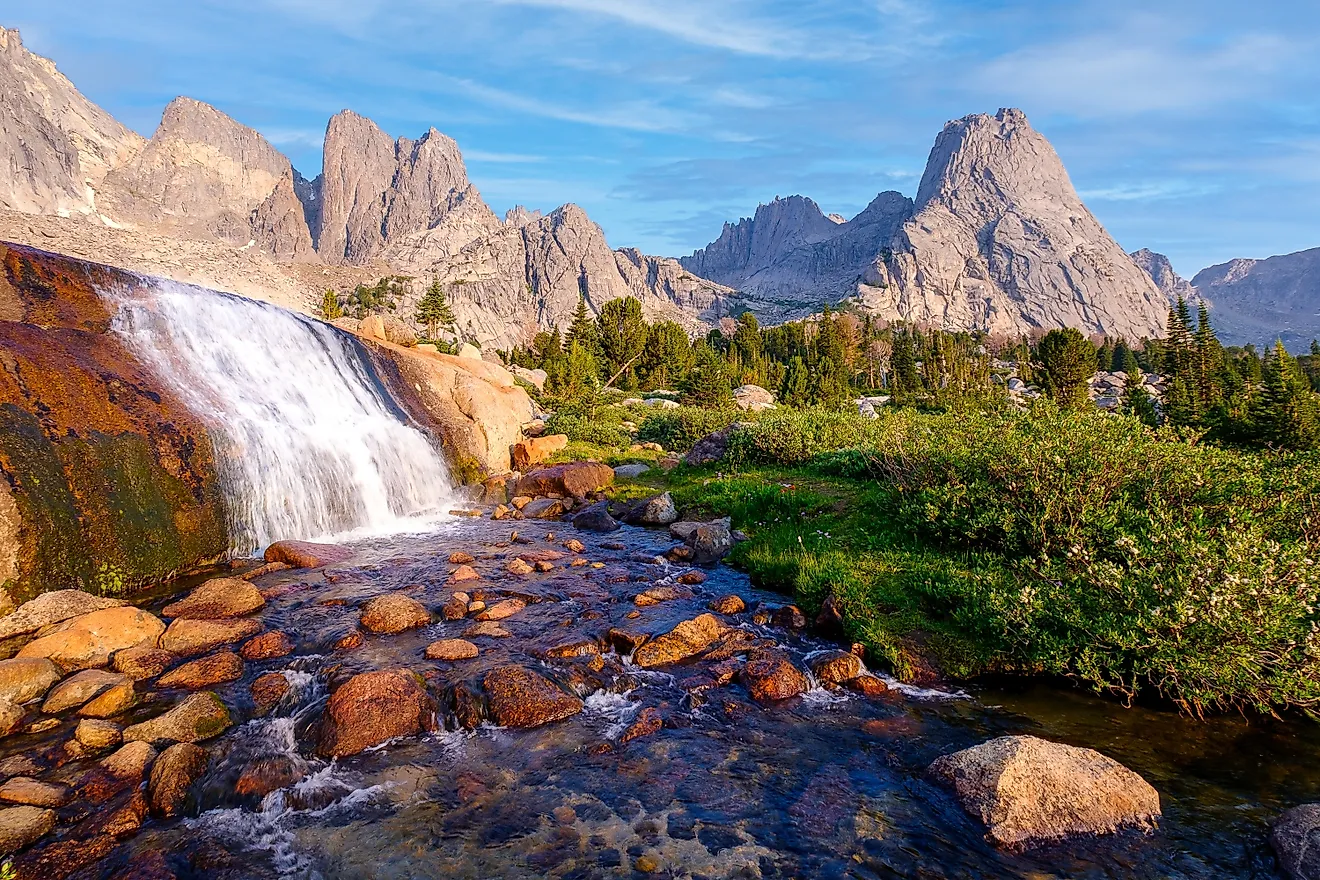
Three bodies of water lie below the summit: Thorofare Creek, the Yellowstone River, and Bridger Lake. The mountain itself is part of the 585,238-acre Teton Wilderness in Bridger-Teton National Forest. Bridger Lake is about a mile and a half from the summit. Atlantic Creek, another stream feeding the upper Yellowstone, comes into the valley about a mile from the top. The Hawks Rest Patrol Cabin, at 7,864 feet, stands on the valley floor roughly a mile from the peak. The summit rises about 1,900 feet above it.
Even The Hawks Rest Trailhead Has No Road

The National Park Service lists a Hawks Rest Trailhead on the park boundary near the peak and notes that it is not accessible by road. The Thorofare Trail and two other backcountry trails meet there. The Thorofare Trail starts at the Nine Mile Trailhead on Yellowstone Lake, and the Park Service lists it at 33.1 miles one way. The trail follows the lake's eastern shore, reaches the banks of the Yellowstone River at mile 20.6, and ends at the park boundary just past the Thorofare Ranger Station.
A fisheries crew took the southern way in on June 25, 2023, leaving the Turpin Meadow Trailhead in the Teton Wilderness on horseback. The ride to their camp in the Thorofare took ten hours.
Explore Big Sky's 2014 packraft trip shows how far the eastern approach bends. The group hiked 15 miles over Shoshone Pass from the Du Noir drainage near Dubois, floated 20 miles of the South Fork Shoshone River, crossed the Absaroka crest on foot over an 11,297-foot pass with no trail, and paddled 17 miles down Thorofare Creek to Yellowstone's southeast border. Floating rivers inside the park is prohibited, so the boats came out there.
A Seismometer Sits On The Summit

The top of Hawks Rest carries station YHR of the Yellowstone Seismic Network, which the University of Utah runs with about 50 seismometers spread across the region to record its earthquakes. This one is the most remote station the university manages, and the USGS notes that it takes a big effort and a few days of horseback riding to service. In August 2009, Dave Drobeck of the university saddled his horse for his first ride into the Thorofare, aiming to set up a seismic station there.
Replacing One Bridge Took A Helicopter And A Pack String

Reaching the Hawks Rest Pack Stock Bridge, which carries the trail across the Yellowstone River, takes a pack string a full day each way. The crews who replaced it traveled that way, and they had a working season of about eight weeks a year.
The original 158-foot bridge was built in 1959. Forest Service engineers found it in critical need of replacement in 2016. Motorized equipment is normally barred from designated wilderness, so the regional forester approved an exception that allowed a heavy helicopter, which lifted out the old bridge and its concrete piers. The replacement was finished in 2021, and the project's combined contracts topped $1 million.
Grizzlies, Wolves, And Trout Below The Peak

The Wyoming Game and Fish Department keeps a cabin about 2 miles northeast of Hawks Rest, built in 1955 as a base for staff on patrol or running surveys, with materials loaded on pack horses for the final trek to the site. Its journal records what lives around it, including a grizzly bear pushing and pulling on the front door on September 11, 2001. Across the park boundary, grizzlies sometimes turn up around the Park Service's Thorofare Ranger Station, drawn by the smell of cooking. Other entries follow the department's crews farther out: four wolves and numerous coyotes feeding on a bison carcass on a March 2007 ski trip up Thorofare Creek, and 21 sheep, some of them rams, with 28 elk counted on a July 2008 climb of the Trident, a peak inside the park.
The cutthroat trout run decides when people come. Most of the fish in the Thorofare spawn during high flows, while much of the valley is inaccessible or unfishable for anglers. Atlantic Creek is the most accessible water in June, according to Outdoor Life, and by the end of that month its writer found the Thorofare had become "a bit of a village." About 20 outfitters and guides are permitted to operate in the Teton Wilderness, for a combined 14,000 client days each summer.
Rival Claims In Wyoming, Montana, And Idaho

Younts Peak, a 12,156-foot summit in the same wilderness, carries a reputation of its own. The climbing site SummitPost says it is "apocryphally known" as the most remote mountain in the Lower 48. Its approaches start at Boulder Basin on the Cody side, at Turpin Meadows, and at Brooks Lake near Dubois, and the shortest of them covers at least 22 miles. The Hawks Rest bridge over the Yellowstone sits about 28 miles from the nearest trailhead or road.
Beyond Wyoming, the distances drop. Project Remote placed Montana's most remote spot near the summit of Rampart Mountain in the Bob Marshall Wilderness, 18 miles from a road, and Idaho's, inside the state's largest expanse of protected wilderness, at 17.6 miles. Both figures fall short of the 21.6 miles the same team measured in the Thorofare.
The 20 miles that make the Thorofare the farthest you can get from a road are a straight line, and travel around Hawks Rest rarely follows one. The Thorofare Trail follows the eastern shore of Yellowstone Lake before it ever reaches the valley. The Explore Big Sky packrafters, after floating Thorofare Creek to the park border, walked out about 20 miles over Two Ocean Pass and the Continental Divide to the Buffalo Fork. The water level sets the calendar inside those distances. High flows during the cutthroat spawn keep most anglers out, outfitted parties fill the valley by the end of June, and the crews on the Hawks Rest bridge worked within a season of about eight weeks. Above all of it, the University of Utah's seismometer on the summit keeps recording, and each visit to service it still means a few days on horseback.