Why Nobody Agrees How Much Water Lake Powell Loses To Evaporation
The Bureau of Reclamation's research office states that Lake Powell evaporates around 500,000 acre-feet a year. Press coverage of Reclamation's own operating figures puts it at 386,000. Reclamation's latest 24-month study implies closer to 336,000. Historic assessments run as high as 750,000. That is a spread of 414,000 acre-feet between the lowest and highest published figures, a factor of 2.2, for a quantity one federal agency is responsible for measuring. Some of the disagreement is genuine physics. Some of it is that the operating models have not been updated since 1986.
The Agency Contradicts Itself

The clearest sign this is unsettled comes from inside Reclamation rather than from its critics.
The agency's Research and Development office states that Lake Powell evaporates around 500,000 acre-feet annually, based on mass-transfer analysis and Class A evaporation pan comparisons carried out in the early 1980s. In the same description it notes that the resulting coefficients are still in use today and are in need of validation or refinement.
That is a federal agency publishing a number and a warning about the number in the same paragraph.
The Models Still Run On 1986

Reclamation runs the Colorado River through three RiverWare models covering 24 months, 60 months and multiple decades, and all three take the same evaporation inputs.
Those inputs are static monthly values drawn from a report published by Reclamation's Upper Colorado Basin Regional Office in 1986. The annual rate is fixed at 1,744 millimeters, which is 68.7 inches, or about 5.7 feet off the surface in a year.
Because the monthly values are constant, inter-annual variability in the evaporation rate is assumed to be zero. The model cannot represent a hotter year than the one before it.
Reclamation Tested It And Found It Wrong

Aware of the problem, Reclamation partnered with Nevada's Desert Research Institute and put instruments out on the water. Two floating platforms, one in Padre Bay and one in Warm Creek Bay, collected data from November 2018 to December 2021 using eddy covariance, bulk aerodynamic mass transfer and Bowen ratio energy balance methods. The resulting report was published in September 2022.
Its conclusion was that monthly comparisons with the previously reported estimates show significant differences in evaporation timing and magnitude, with the in-situ figures consistently lower than the gross coefficients still being used operationally.
Lake Mead Got Fixed. Powell Did Not.
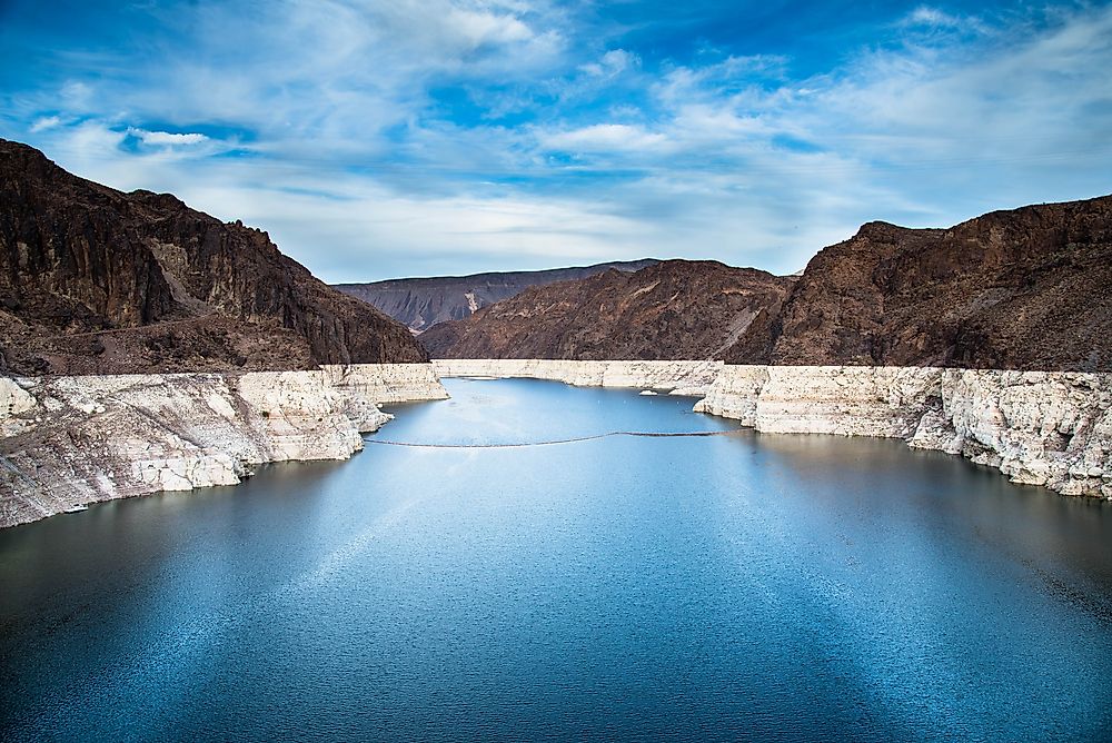
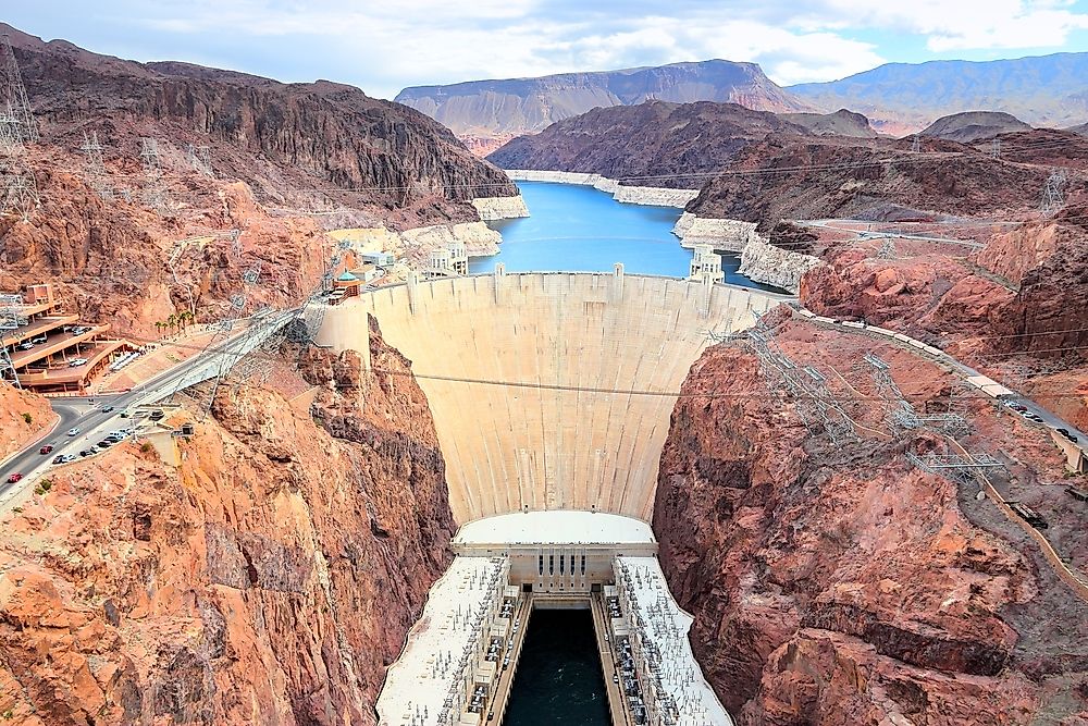
The comparison with the downstream reservoir is the detail that makes this hard to defend. Reclamation worked with USGS on Lake Mead evaporation and implemented new coefficients in the Colorado River Mid-Term Modeling System in April 2022, replacing values originally published in 1958. The updated coefficients went through a peer review process first.
Lake Powell's equivalent work exists, was published, and the operating models still use the 1986 figures.
The Measuring Equipment Was The Problem
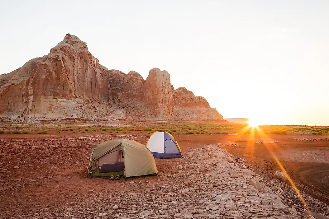
Underneath the institutional story sits a simple technical one, and it explains why the older numbers vary so wildly.
Most historic understanding of reservoir evaporation rests on Class A evaporation pans, metal tubs of water on the shore. Research funded by Reclamation notes these have shown error rates as high as 75 percent in arid environments.
A pan on land is hotter, smaller and more exposed than the reservoir it is supposed to represent. The replacement developed under the same program, a floating pan sitting in the water, validated to within 2 percent of actual evaporation.
A Shrinking Lake Evaporates Less

Part of the spread is not disagreement at all. It is different sources describing differently sized lakes.
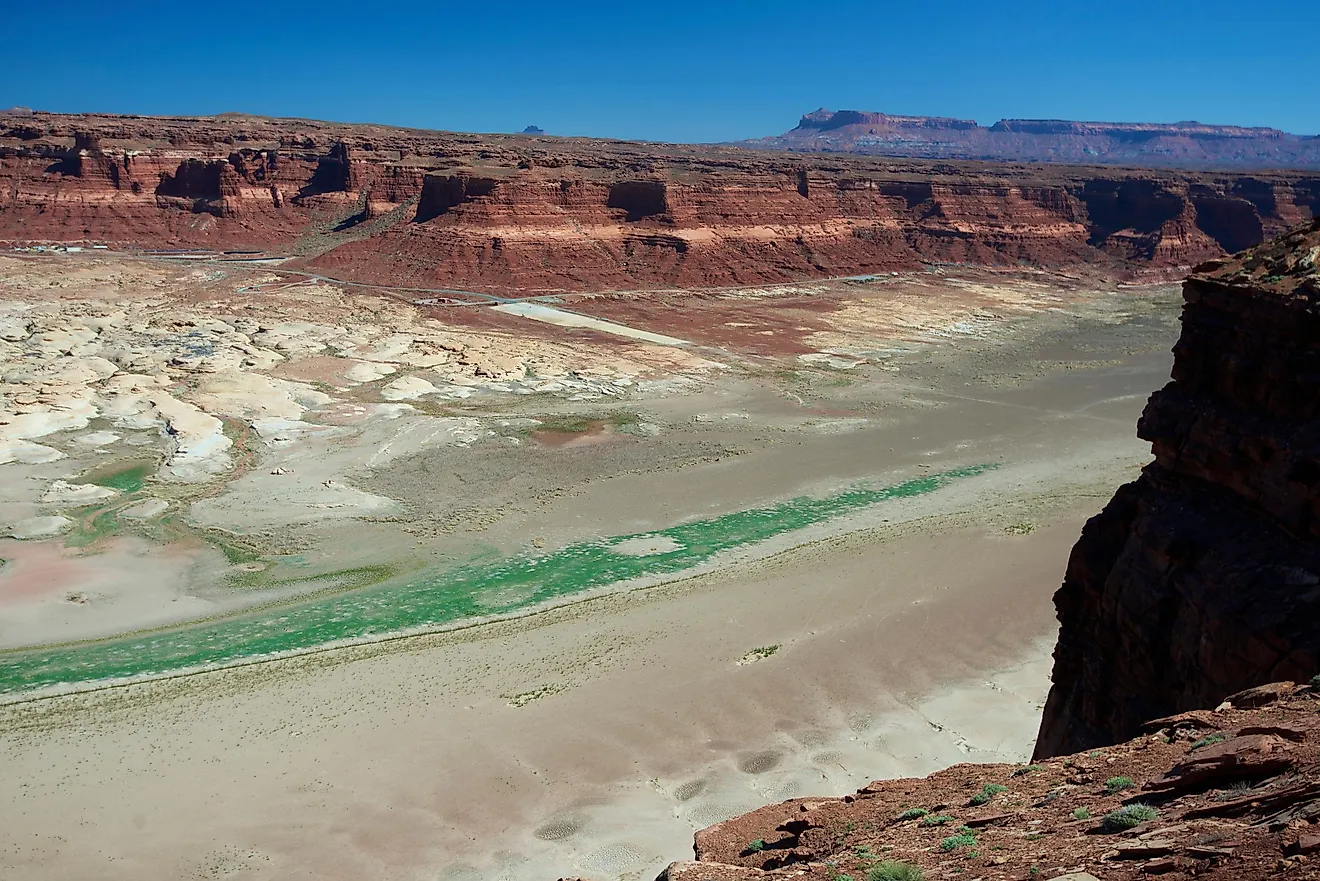
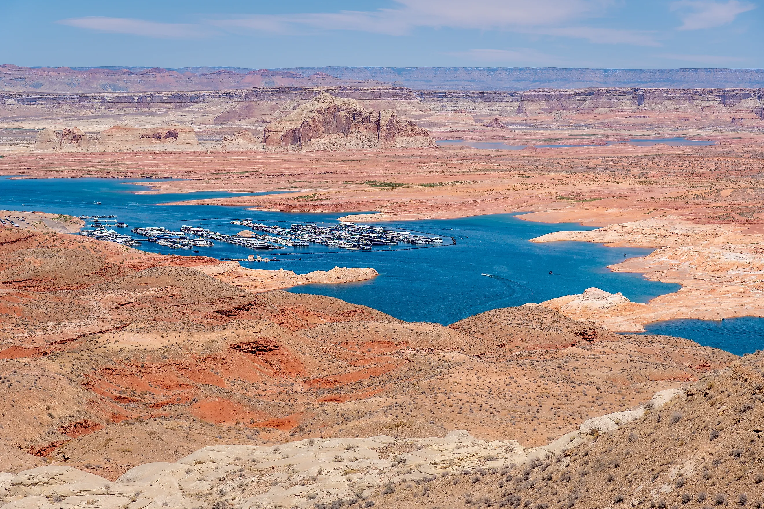
Evaporation scales with surface area. At full pool Powell covers about 161,390 acres. On October 18, 2026 it sat at 3,520.55 feet holding 23 percent of capacity, with a correspondingly smaller surface.
At roughly 3.8 acre-feet lost per acre of surface, full pool implies over 600,000 acre-feet a year and the current lake implies closer to 300,000. A figure from 1999 and a figure from 2026 can both be right and still differ by half.
Powell Evaporates Less Than Mead Per Acre

One finding is consistent across sources, and it runs against the usual framing of Powell as the wasteful reservoir.
Analysis of Reclamation's own data puts Powell at about 3.8 acre-feet of loss per acre of surface area annually against roughly 6.6 for Lake Mead. Powell sits higher and cooler, so it loses proportionally less.
Reclamation's most recent 24-month study still has Powell accounting for over 80 percent of total system evaporation, at about 336,000 acre-feet of a 0.42 million acre-foot total. It is the bigger share because it is the bigger surface, not because it is the leakier lake.
The Advocacy Figure Measures Something Else
The largest number in circulation needs separating out, because it is not an evaporation figure.
The Glen Canyon Institute, which has campaigned to drain the reservoir since 1996, puts Powell's annual loss at 860,000 acre-feet. That figure covers evaporation and bank seepage together, and it is calculated at full pool.
Comparing it with Reclamation's 386,000 is comparing two losses at one lake level against one loss at another. Both can be defended. They are not measuring the same thing.
Why It Actually Matters

This would be an academic argument if the figure did not feed straight into how the river is run.
Evaporation is subtracted in the water accounting that determines releases, shortage tiers and how much each state receives. A 414,000 acre-foot uncertainty is larger than Nevada's entire annual Colorado River allocation of 300,000.
Reclamation itself noted that updating the Lake Mead coefficients produced minimal impacts on projected elevations and operations tiers, which is reassuring and also an argument for doing the same at Powell and finding out.
The Short Answer
Nobody agrees because the operating figure comes from 1986 coefficients built on shore-based pans with error rates up to 75 percent, because Reclamation's own 2018 to 2021 measurements found those coefficients significantly wrong and have not replaced them, and because evaporation tracks surface area on a reservoir that has lost most of its surface.
The honest range for Lake Powell is somewhere between 300,000 and 500,000 acre-feet a year at current levels, and over 600,000 if it ever fills again. Anyone quoting a single figure to three digits is quoting a model input rather than a measurement.