The Dam That Holds Back The Most Water In America
Ask which dam holds back the most water in America, and most people picture Hoover Dam, 726 feet of concrete wedged into a Nevada canyon. The real answer is a wall of packed earth and shale that almost no one outside South Dakota could name.
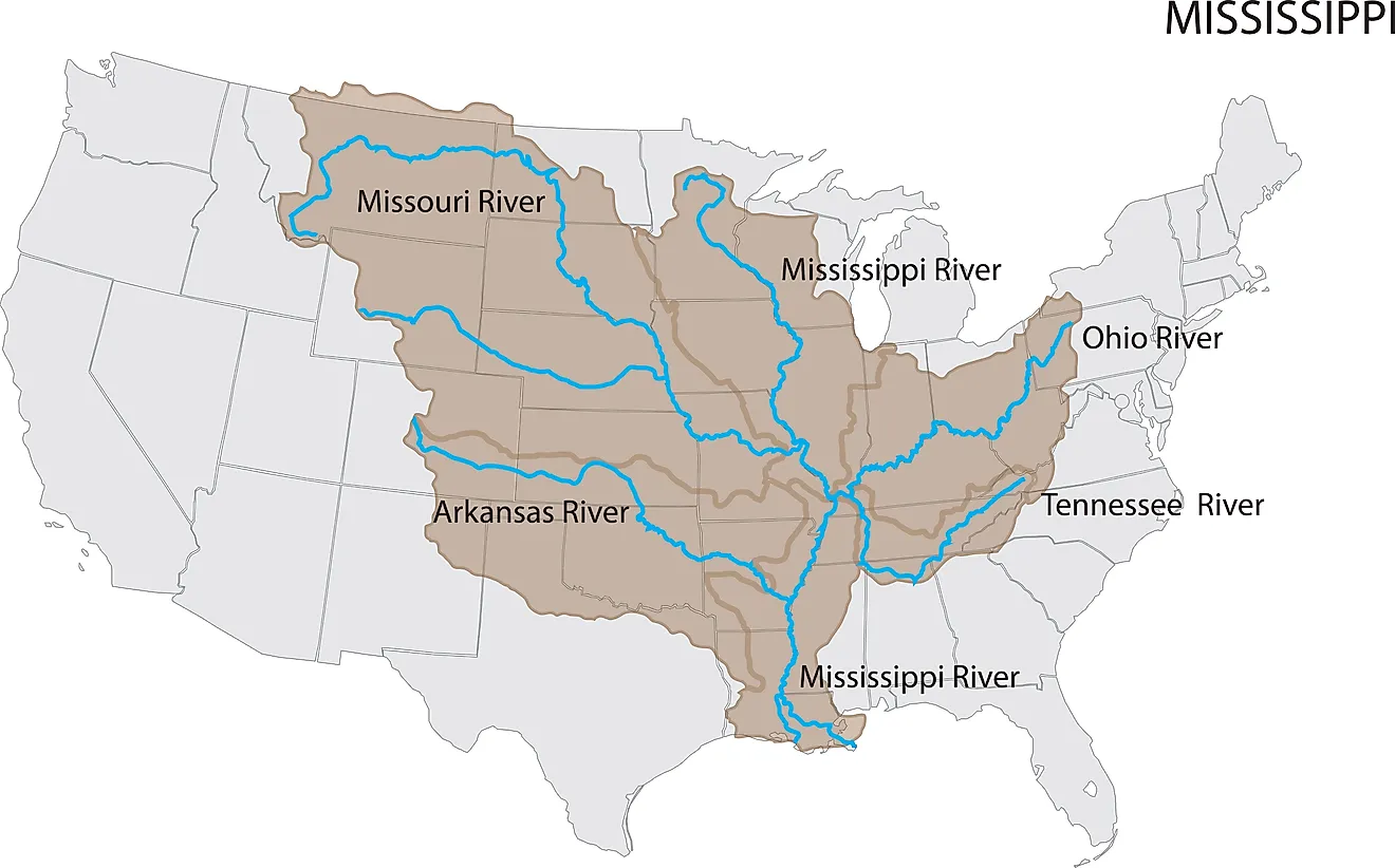
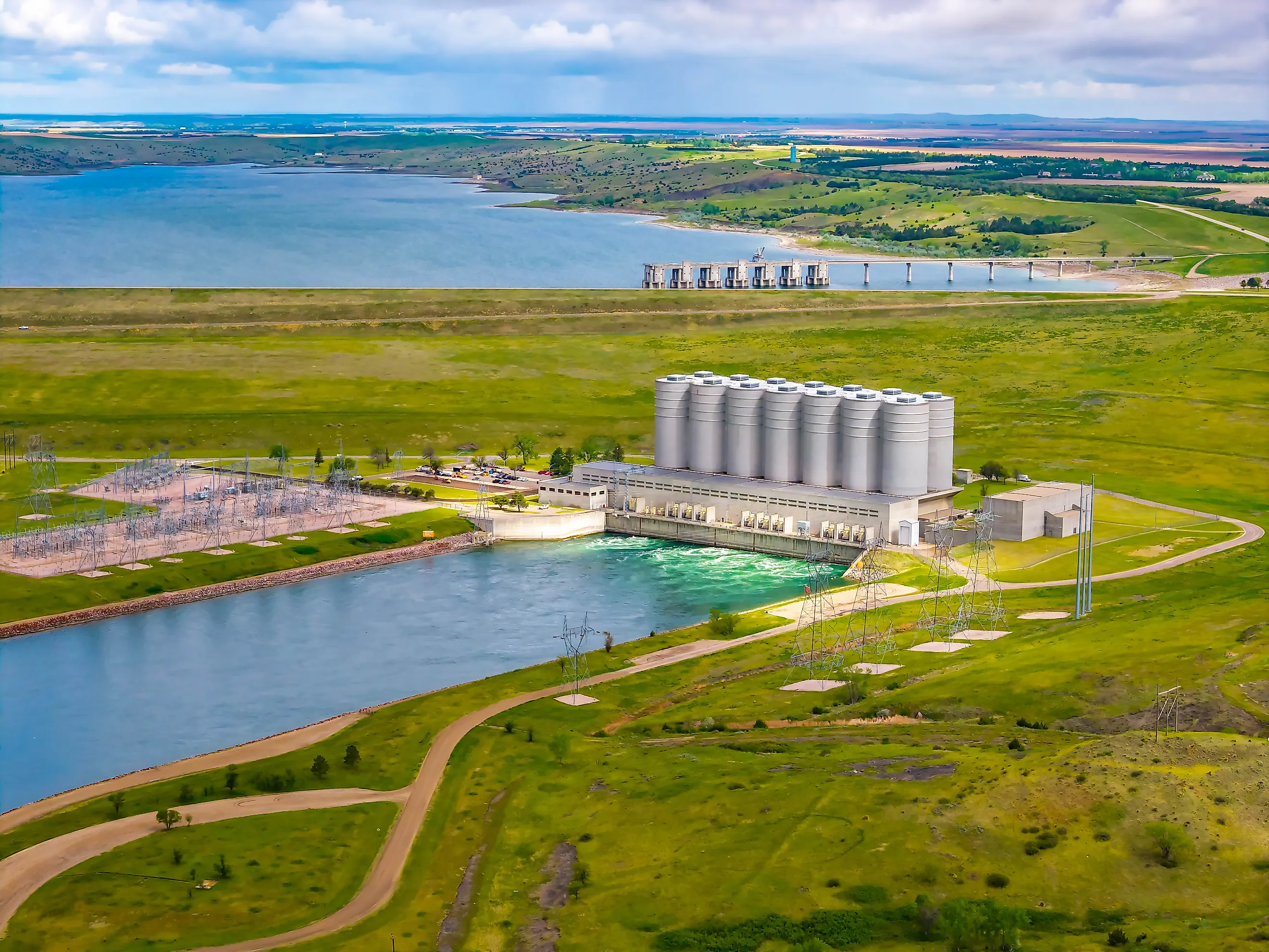
Oahe Dam crosses the Missouri River about 6 miles north of Pierre, and the lake behind it now holds back more water than any other dam in the country, Lake Mead included. It was never meant to be the one out front, and the reason it is has as much to do with a drought a thousand miles away as with the dam itself. What this earthen embankment holds back, and what lies drowned beneath its reservoir, is a larger story than its low profile lets on.
Nearly 2 Miles of Earth Fill North of Pierre

South Dakota Highway 204 runs along the top of Oahe Dam for 9,360 feet, about 1.8 miles, on an embankment of rolled earth fill with shale berms that rises 245 feet above the river. Roughly 92 million cubic yards of fill went into the dam, and its base spreads about 3,500 feet wide, more than 14 times its height.
Work began in 1948 under the Flood Control Act of 1944, and President John F. Kennedy dedicated the dam on August 17, 1962. Seven turbines in the powerhouse at its foot produce the dam's electricity. James S. Robbins built his first rock tunnel boring machine for the project in 1952, the forerunner of machines now used worldwide, to cut its tunnels through the weak shale at the site.
Lake Oahe Covers 231 Miles of the Missouri Valley
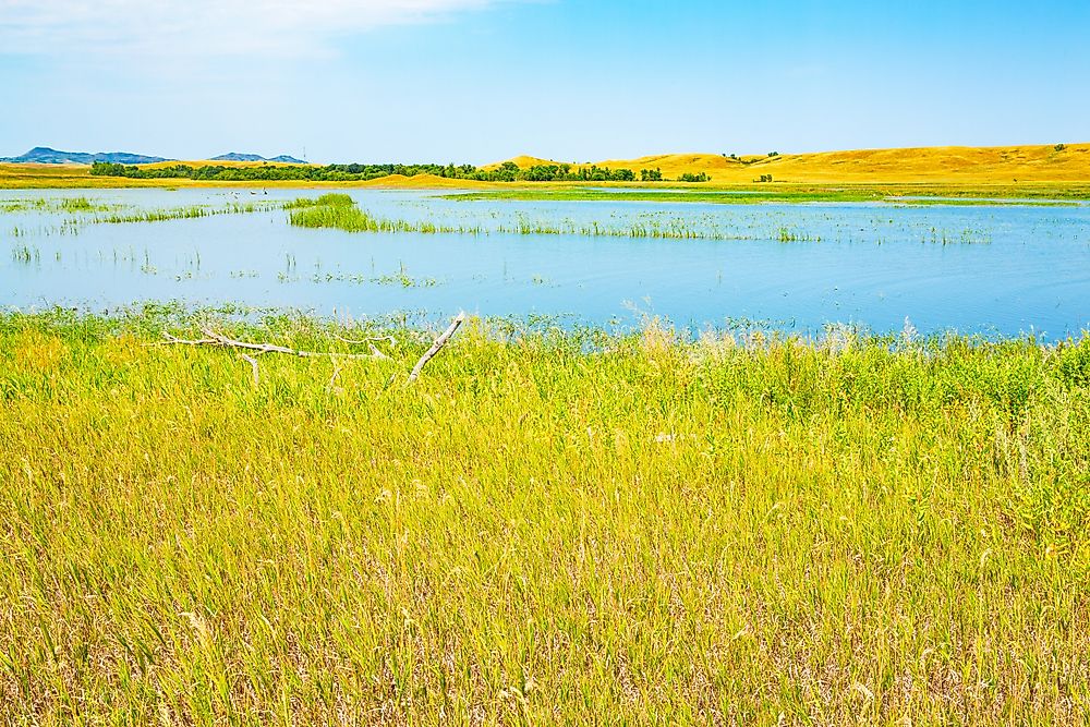
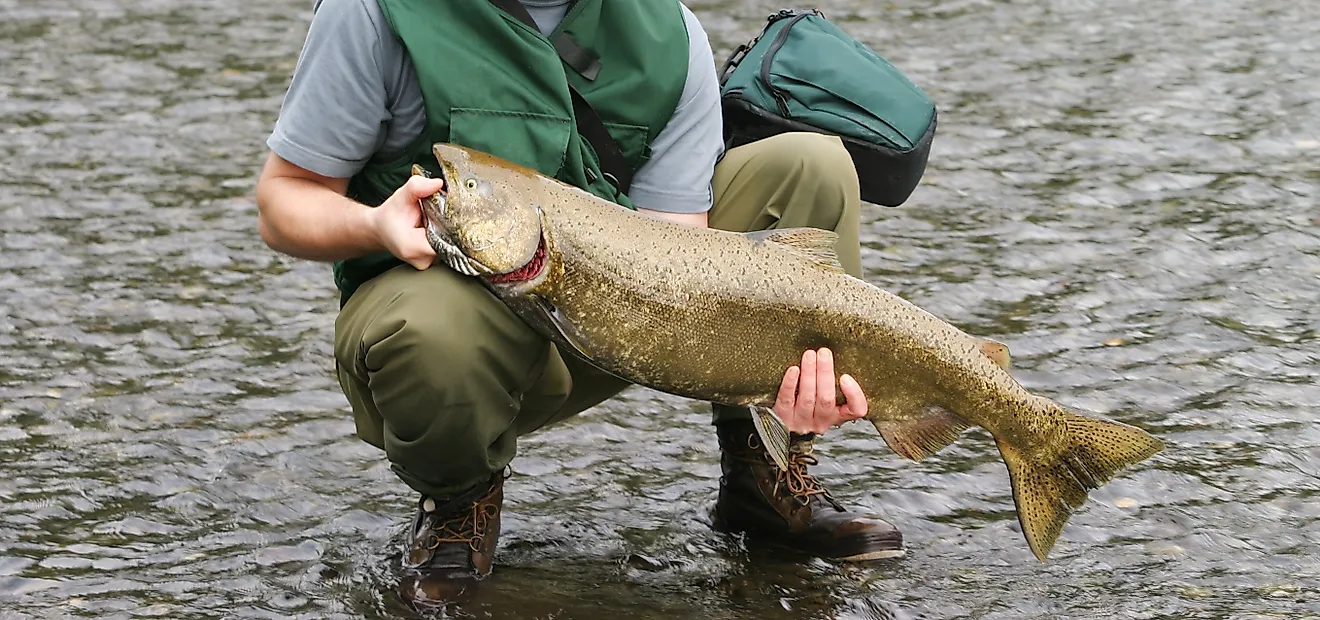
Walleye are Lake Oahe's best-known catch, and anglers there also land northern pike, smallmouth bass, channel catfish, and Chinook salmon, which are kept in the lake by stocking. Fifty-one recreation areas are spread along about 2,250 miles of shoreline, a length that comes from the flooded lower valleys of tributaries such as the Cheyenne and Grand rivers.
The lake covers about 370,000 acres and is 205 feet deep at its deepest point, and its northern end lies near Bismarck. Mobridge sits on the eastern shore near the middle of the lake, where U.S. Route 12 crosses the water and continues west onto the Standing Rock reservation.
About 160,000 Acres of Reservation Land Lie Under the Lake

In April 2016, protest camps began going up near the place where the Cannonball River meets Lake Oahe in North Dakota, at the northern edge of the Standing Rock reservation. The Standing Rock Sioux Tribe, which draws its drinking water from the lake, opposed the Dakota Access Pipeline's route beneath Lake Oahe a short way upstream of the reservation. The largest camp, on Corps-managed land just north of the reservation boundary, was cleared in late February 2017, and the pipeline has been in commercial service since June 2017.
By then, about 160,000 acres of the Standing Rock and Cheyenne River Sioux reservations had been under the reservoir for decades, roughly 104,000 acres on Cheyenne River and 56,000 on Standing Rock. Much of it was wooded river bottomland used for farming and ranching, and Cheyenne River lost about 90 percent of its timber.
The Cheyenne River Agency, the reservation's administrative center, had stood on the Missouri opposite Forest City and was moved inland to Eagle Butte because of the dam. The site of Forest City, about 9 miles west of Gettysburg, now lies under the lake as well.
Three Missouri River Reservoirs Each Hold More Than Lake Mead

Lake Sakakawea, behind Garrison Dam in North Dakota, held 13.9 million acre-feet on October 25, less than half a million behind Oahe, and Fort Peck Lake in northeastern Montana held 12.4 million. Together with three smaller reservoirs on the Missouri's main stem, they held 45.3 million acre-feet, about 80 percent of what the six hold when filled up to their flood-control zones, in a year when Missouri River runoff was forecast in October at 63 percent of average. Fort Peck is the farthest upstream of the six Corps dams in that chain, and Gavins Point, on the Nebraska and South Dakota line, is the farthest downstream.
Hoover Dam's Lake Mead Has the Biggest Capacity and a Record Low

A band of white mineral deposits on the canyon walls around Lake Mead marks where the water once stood. Hoover Dam's 726-foot concrete arch was the largest dam of its time when it was completed in 1936, and filled to the bottom of its flood-control space, Lake Mead holds about 26.1 million acre-feet, more than any other American reservoir. The lake was down to 6.82 million acre-feet on October 24, and two days earlier its surface had stood at 1,037.16 feet above sea level, below the previous record low of 1,040.58 feet set on July 28, 2022.
The decline followed the worst snowpack on record in the Upper Colorado River Basin, and in May, Lake Powell upstream was forecast to receive 13 percent of its normal spring runoff. Below 1,035 feet, less than 3 feet under the late-October level, Hoover's older turbines are expected to sustain severe cavitation damage, and by the Bureau of Reclamation's estimate the dam's generating capacity at that elevation could fall to 382 megawatts, cutting into the power that goes to Nevada, Arizona, and California.
The Corps Raises Oahe to Its Highest Risk Rating
On October 1, Corps officials said Oahe Dam's internal risk rating had been raised to "very high risk," one level above its earlier "high risk" rating, after an April 2026 assessment found that inflows from rare, extreme weather events could push the reservoir higher than earlier estimates assumed. A multiyear Dam Safety Modification Study of the dam has been ranked among the agency's highest priorities, and officials said there is no active emergency and that daily operations are unchanged for downstream residents. The six Missouri River reservoirs are projected to start the 2027 runoff season holding about 44.7 million acre-feet, and the water that refills Lake Oahe will come from snow and rain in Montana, Wyoming, and the Dakotas, much of it passing through Garrison Dam on its way down to the embankment north of Pierre.