How Much Water Lake Powell Loses Into The Canyon Walls
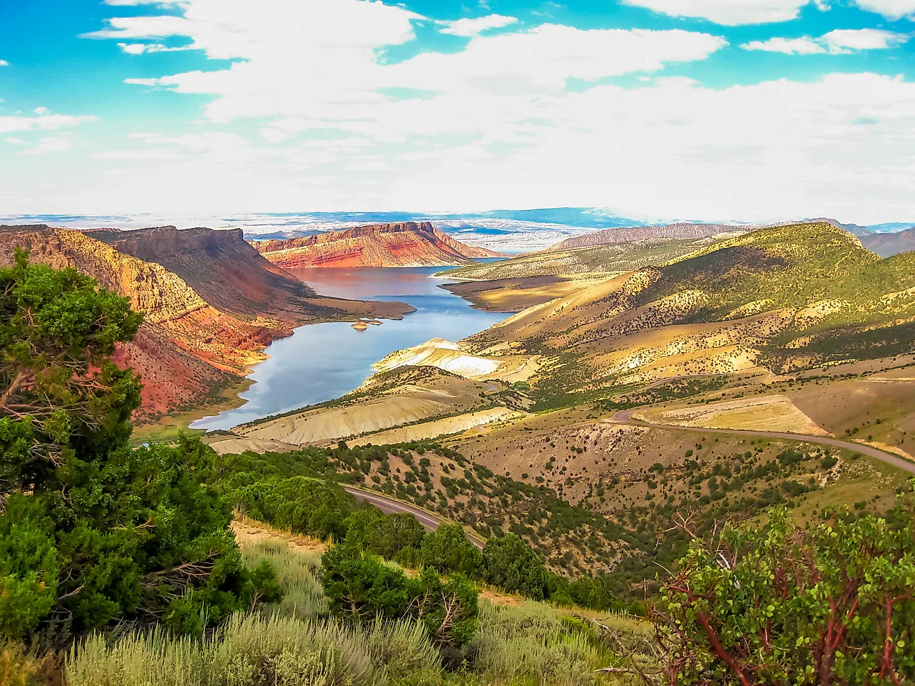
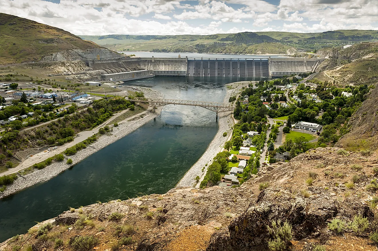
Glen Canyon Dam closed its diversion tunnels in March 1963, and Lake Powell did not reach full pool until June 22, 1980. Seventeen years to fill. Part of that was simply the volume involved, and part of it was that the Colorado was filling the rock as well as the canyon, because Lake Powell sits in Navajo and Wingate sandstone that soaks up water like a sponge. How much goes into those walls is one of the most contested numbers on the river. Advocacy groups put the combined annual loss to evaporation and bank seepage at 860,000 acre-feet. A technical assessment by academic hydrologists concluded that draining the reservoir entirely would save between 30,000 and 50,000. Those figures are an order of magnitude apart, and both camps are citing real data.
The Rock Is The Problem

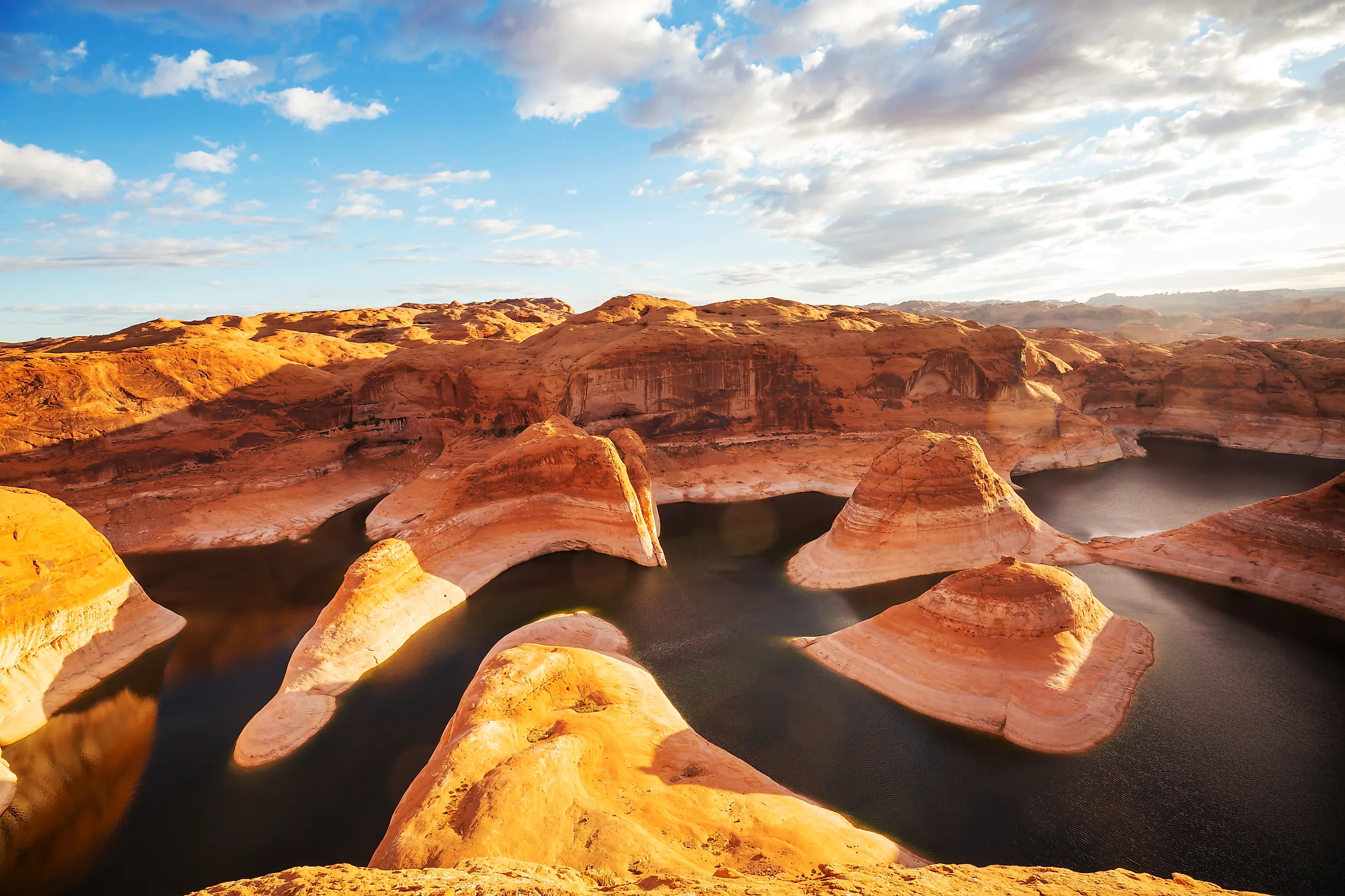
Lake Powell is impounded in Navajo and Wingate sandstone, two formations that are highly porous and permeable. Water in contact with them does not simply sit in the canyon, it moves into the pore spaces of the rock itself, saturating the walls outward from the waterline.
That process has a name. Bank storage is water held in the ground adjacent to a reservoir rather than in the reservoir itself, and on a lake with more than 90 side canyons and roughly 250 square miles of surface at full pool, the sheer amount of rock in contact with water is enormous.
It Is A Loan, Not Necessarily A Loss

Here is the distinction that explains why the two sides of this argument report such wildly different numbers. Bank storage is not a one-way transaction. When the reservoir level rises, water moves into the rock. When the level drops, the hydraulic gradient reverses and water drains back out of the banks into the lake. In that sense it is a loan rather than a loss, and Reclamation accounts for it that way.
The counter-argument is about timescale. Some of that water travels far enough into the formation, or into aquifers with no path back, that it does not return on any timescale useful to anyone managing water deliveries this decade. A loan you never get back is a loss with extra steps.
The Big Number
The Glen Canyon Institute, which has campaigned since 1996 to drain the reservoir, puts the combined figure at an average of 860,000 acre-feet a year lost to evaporation and bank seepage at full pool.
Scaled up, the group calculates that more than 34 million acre-feet have been lost since the dam was completed, and that the annual loss exceeds 6 percent of the Colorado River's entire flow, which is more than three times Nevada's yearly allotment. In San Diego water prices they value the annual loss at around 225 million dollars and the cumulative loss at roughly 9 billion.
Those are advocacy figures from an organization with a stated goal, which does not make them wrong. It does mean they should be read alongside the other estimate.
The Small Number

In November 2016 a team led by Jack Schmidt of Utah State University published a technical assessment of the Fill Mead First proposal, testing whether consolidating storage in Lake Mead would actually save any water.
Their conclusion was that it would save somewhere between 30,000 and 50,000 acre-feet a year. On evaporation specifically, Schmidt found the numbers come out essentially the same either way, because the water would evaporate off Lake Mead's surface instead.
That is a reduction of roughly 95 percent against the advocacy estimate, and it comes from researchers with no institutional stake in keeping the dam.
Nobody Has Measured It Properly Since The 1970s
This is the caveat that should accompany every figure in this article, and it is genuinely remarkable. Schmidt's work turned up the fact that the US Geological Survey has not collected comprehensive measurements of water lost to evaporation at Lake Powell since the mid-1970s. For one of the most scrutinized reservoirs in the country, on the most litigated river in North America, the basic evaporation data is half a century old.
Bank seepage is harder still, because you cannot put a gauge on rock. It has to be inferred from water balance calculations, which means subtracting everything you can measure from everything you know went in and attributing the remainder to the walls. Any error elsewhere in that sum lands on the seepage figure.
What Reclamation Says
The Bureau of Reclamation's own public material puts evaporation at about two to three percent of the lake's water each year, and the agency maintains a standing FAQ answering how much water was absorbed into the canyon walls during the initial filling.
That the question appears in an official FAQ tells you how often it gets asked. It also tells you the agency does not regard the answer as embarrassing, because in its accounting the bank storage is still there, held in the rock, available to drain back when the lake drops.
Evaporation Is The Bigger Half
Of the two loss mechanisms, the one that definitely never comes back is the one happening at the surface. Lake Powell loses roughly 70 inches of depth off its surface to evaporation in a year, and combined evaporation from Powell and Mead when both are full has been estimated near 1.14 million acre-feet annually. Some estimates put Powell's share alone around 600,000 acre-feet.
The crucial difference is that evaporated water is gone from the basin entirely, while seeped water is at worst relocated. That is why the strongest version of the drain-Powell argument rests on surface area rather than sandstone, and why Schmidt's finding that the evaporation saving is near zero undercuts it so effectively.
The Lake Is Also Shrinking From Below

A third loss runs alongside the other two and this one is entirely permanent. Between 1963 and 2018 Lake Powell lost an average of 33,270 acre-feet of storage capacity a year to sediment, roughly 11 billion gallons, and total capacity has fallen about 7 percent since the dam was built. A 2018 USGS and Reclamation survey put full pool at 25.16 million acre-feet, down 1.83 million from the original figure.
Sediment does not seep back out of anything or evaporate off the top. The container is simply getting smaller every year.
Why The Argument Matters Now
When Eric Balken of the Glen Canyon Institute first proposed Fill Mead First in 1996, Lake Powell was essentially full and the idea was treated as ludicrous. The combined storage of Powell and Mead has since fallen to levels not seen since 1957.
At low reservoir levels the calculation shifts in interesting ways. A smaller lake has less surface area, so it evaporates less. It also has less rock in contact with water, so it seeps less, and the previously saturated banks above the waterline are draining back in. Both loss mechanisms shrink as the reservoir does.
Which means the loss figures quoted for a full Lake Powell describe a reservoir that has not existed for a long time.
The Honest Answer

Nobody can tell you precisely how much water Lake Powell loses into its canyon walls, and anyone quoting a confident single figure is quoting one side of an active disagreement.
The defensible summary is this. The sandstone absorbed an enormous quantity during the 17 years it took to fill, much of it returns as the lake drops, and the portion that never comes back is real but far smaller than the headline numbers suggest. The genuinely unrecoverable loss is evaporation, the genuinely permanent one is sediment, and the basic measurements underpinning all of it were last taken comprehensively when Gerald Ford was president.