How The Yukon Compares To The Mississippi
Lay the Yukon beside the Mississippi and they look like near equals, two of the longest rivers on the continent, separated by only a few hundred miles of length.
Then look at what each one actually does. One has been dredged, dammed, and engineered into a round-the-clock freight highway. The other still tells people when they can cross it, when they can ship on it, and when they cannot move on it at all. The gap between them has little to do with size, and everything to do with how far each river was ever brought to heel.
The Mississippi Is Longer and Drains Far More of the Continent
The Mississippi runs about 2,350 miles from Lake Itasca in northern Minnesota to the Gulf, a mostly north-to-south line through the middle of the country. The Yukon's 1,980 miles begin at Llewellyn Glacier, its generally accepted source at the southern end of Atlin Lake in British Columbia, and its water flows north through Canada's Yukon, past Whitehorse and Dawson City, before crossing into Alaska near the village of Eagle and bending west to the Bering Sea.
The Mississippi collects water from about 1.2 million square miles, covering all or part of 31 states and two Canadian provinces, roughly 40% of the continental United States. Rain on a Montana wheat field and snowmelt in western Pennsylvania can both end up flowing past New Orleans. The Yukon's basin, at about 330,000 square miles, is barely more than a quarter of that size but still larger than Texas, and about 125,000 square miles of it lies in Canada, so managing the river's salmon takes agreement between two countries.
The Yukon Carries 40% of the Mississippi's Flow From About a Quarter of the Land

The Yukon averages about 236,000 cubic feet of water per second at Pilot Station, roughly 120 miles above its mouth, which is about 40% of the 593,000 cubic feet per second the Mississippi releases into the Gulf. Most of that water arrives in the warm months, fed by snowmelt, rainfall, and glacier melt, and two glacier-fed tributaries, the Tanana and the White, supply roughly a quarter of the Yukon's total flow. Because so much of the volume comes in one season, the gap between low and high water is enormous. Flow at Pilot Station has dropped as low as 35,000 cubic feet per second, in 1984, and peaked at about 1.24 million cubic feet per second in 2005, about double the Mississippi's average discharge.
The Mississippi Was Deepened Into a Freight Channel

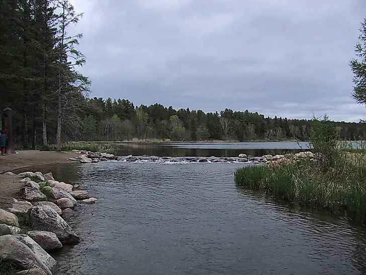
At Lake Itasca, the Mississippi is only 20 to 30 feet wide, and visitors to Itasca State Park cross it on a row of stepping stones where it leaves the lake. Left alone, much of the upper river downstream would run only 3 to 4 feet deep. Since the 1930s, the U.S. Army Corps of Engineers has maintained a 9-foot channel up to Minneapolis, and 29 locks and dams north of St. Louis raise and lower towboats along the way. Below Baton Rouge, a 45-foot channel gives ocean-going ships access to ports between there and New Orleans.
With that depth in place, one barge can carry about as much as 60 semi-trucks, and a towboat can push 15 barges at once. About 175 million tons of freight move through the upper river's locks each year, much of it bulky, slow-to-spoil cargo such as grain. Roughly 60% of all grain the United States exports moves downriver to the Gulf.
The Yukon's Sternwheelers Lasted Until a Highway Reached Dawson City

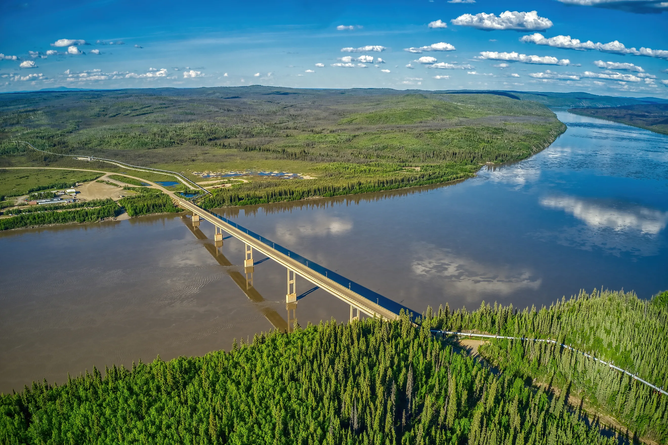
By 1899, the year after the Klondike Gold Rush peaked, 60 sternwheelers, 8 tugs, and 20 barges were in service on the Yukon, and the 460-mile trip downstream between Whitehorse and Dawson City was a relatively easy final leg of the journey to the goldfields. That trade faded after a highway reached Dawson City in 1952, and the S.S. Klondike, the last sternwheeler working on the Yukon, made its final trip in August 1955 before being restored on the riverbank in Whitehorse, where it sits today. Across the border, the Yukon has one bridge in all of Alaska, the E.L. Patton Yukon River Bridge on the Dalton Highway, a 2,295-foot span that carries the Trans-Alaska Pipeline along with the highway.
Yukon Villages Depend on Summer Barges and Winter Ice Roads

Fort Yukon, at the confluence of the Yukon and Porcupine rivers about 145 air miles northeast of Fairbanks, gets its heavy cargo by barge from the end of May through mid-September and its groceries and other supplies by plane, and once the river freezes it becomes an ice road to nearby villages. Downstream at Galena, the frozen river is the winter route to Ruby, Koyukuk, Kaltag, and Nulato. At Dawson City, a summer ferry carries vehicles across the Yukon, and in most winters an ice bridge replaces it. Ice affects the Mississippi too, but only at its northern end, where the navigation season closes around late November or early December and reopens in March or April, once a towboat can break through the ice on Lake Pepin and reach St. Paul.
On the Yukon, barges can only start moving after spring breakup, and Alaskans have bet on the timing of breakup for more than a century. The Nenana Ice Classic asks entrants to guess the exact minute the ice will go out on the Tanana River, a major Yukon tributary, at the town of Nenana. A striped tripod set on the ice is tied to a clock, which stops when the moving ice drags the tripod far enough to snap the line. In 2026 the clock stopped at 6:58 p.m. on May 4, and over the years breakup at Nenana has come as early as April 14 and as late as May 20, a spread of more than five weeks.
Yukon King Salmon Make the Longest Chinook Migration in the World

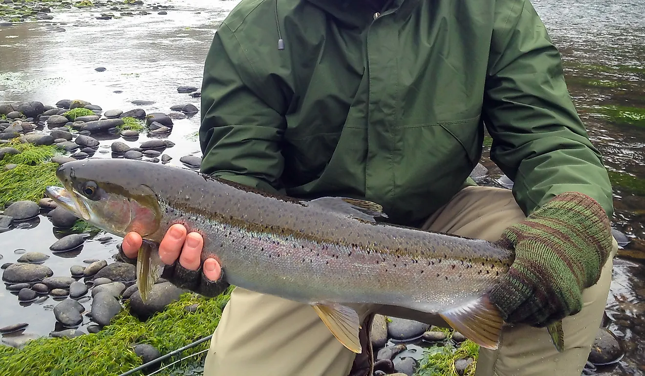
King salmon bound for streams near Whitehorse swim about 1,900 miles (more than 3,000 kilometers) up the Yukon, the longest migration of any Chinook, and they eat nothing during the roughly three months the trip takes. Whitehorse's hydroelectric dam, which flooded the White Horse Rapids and created Schwatka Lake, stands across their path, so from late July into early September the fish climb a wooden fish ladder about 1,200 feet long, where visitors can watch them through underwater viewing windows.
The Yukon's overall Chinook run fell to a record low of about 50,000 fish in 2022, compared with closer to 300,000 decades earlier, a year after Alaska managers had closed the river to almost all salmon fishing. A NOAA-led study published in 2026 tied a rise in natural deaths, mostly between the juvenile and adult stages, to a series of Bering Sea marine heat waves that reduced prey such as capelin. In 2024, Canada and Alaska agreed to halt commercial, recreational, and domestic fishing for Canadian-origin Yukon Chinook for seven years, one full salmon life cycle. The 2026 run, estimated at about 103,000 fish, roughly doubled the 2022 low and beat preseason forecasts, though biologists say it is still well below average.
One River Engineered, the Other Ruled by Ice
Size and engineering made the Mississippi a freight corridor. Towboats carry Midwest corn south through a 9-foot channel and 29 locks and dams, and ice halts traffic each winter only on the river's northernmost stretch, so shipping on the lower river runs year-round. Along the Yukon, which has a single bridge in all of Alaska, people still plan around breakup and freeze-up. Barges cannot reach Fort Yukon until the ice clears in spring and stop running by mid-September, and once the river freezes it becomes the road to Fort Yukon's neighboring villages for the winter. About 103,000 king salmon returned up the Yukon in 2026, far above forecasts, and fishing for them remains closed in both Alaska and Canada.