Why Lake Powell Keeps Dropping Through The Fall
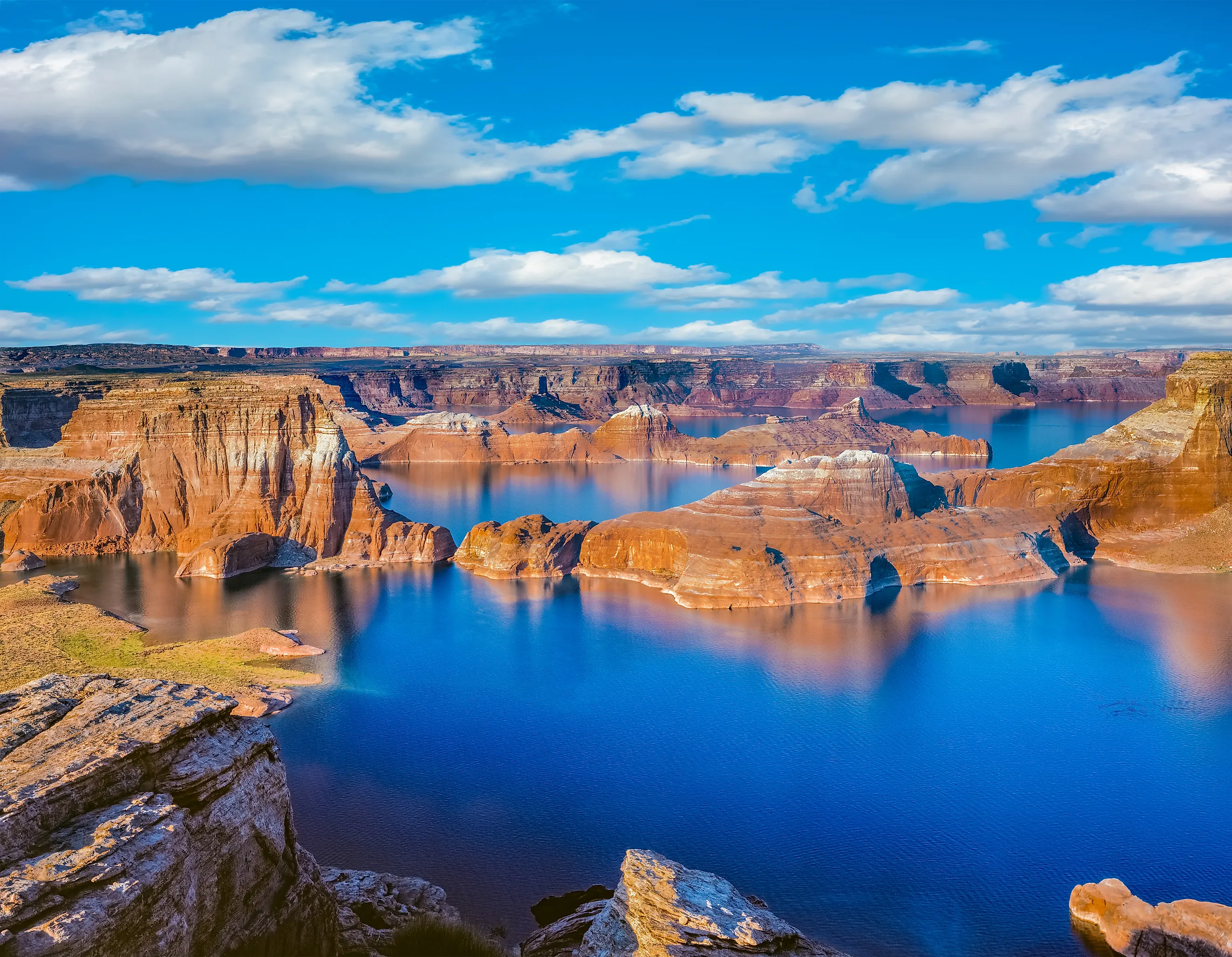
Lake Powell rises for about ten weeks a year and falls for the other forty-two. The Rocky Mountain snowpack melts from roughly April into July, the reservoir climbs, and then the melt stops while Glen Canyon Dam carries on releasing water downstream at a rate the river cannot replace. That is the whole mechanism, and it explains why every autumn brings another run of headlines about falling water. In 2026 the pattern was unusually stark. The lake peaked on June 1, and by September 15 it had set a modern record low of 3,516.62 feet, the lowest since the reservoir first filled in the 1960s. It is still going down.
The Reservoir Has A Season

Powell is not fed by steady rainfall. It is fed by snow that fell on Colorado, Wyoming and Utah months earlier and arrives all at once when the mountains warm up, which gives the reservoir a sharply defined annual rhythm rather than a gradual one.
Inflow concentrates into a narrow spring window, the lake rises through it, and then the tap effectively closes. Releases, meanwhile, continue every single day of the year, because the dam has obligations that do not pause when the snow runs out.
So the autumn decline is not a malfunction or a sign of something new going wrong. It is the expected second half of a cycle that has run every year since the reservoir filled.
Autumn Has Almost No Inflow

By September the melt is finished. What reaches Powell from then until the following spring is baseflow, meaning whatever groundwater and small tributary contributions the basin can manage, and it amounts to a fraction of what arrives in June.
The Southwest monsoon does deliver rain to the region in late summer, and it is tempting to assume that helps. Mostly it does not. Monsoon precipitation arrives as intense short bursts that run off as flash floods through side canyons, and the volumes involved are trivial next to a snowmelt season. People who track the lake daily are blunt about the difference between a rise driven by snowpack and one driven by storm water.
The Releases Do Not Stop
Meanwhile Glen Canyon Dam keeps sending water to Lake Mead, and the volumes are set by rules rather than by how much came in. For water year 2026, Powell's scheduled release under the Mid-Elevation Release Tier was 7.48 million acre-feet. Reclamation cut that to 6.0 million, the lowest its current rules permit, specifically to hold more water in the reservoir. The anticipated release for September 2026 alone was 469,752 acre-feet.
Even reduced, that is a very large outflow. It leaves the reservoir steadily, all autumn, while almost nothing arrives to replace it.
The Arithmetic Of 2026
This year makes the imbalance easy to see, because both sides of the ledger went to extremes at once. Basin snowpack peaked on March 9, 2026 at 60 percent of the median peak. April through July inflow then ran at 18 percent of normal, and the water year's minimum probable inflow was forecast at 2.78 million acre-feet, about 29 percent of the historical average and among the lowest on record.
Against that, the dam released 6.0 million acre-feet. Take out several times what comes in and the direction of travel is not really in question.
Evaporation Takes Its Share
The third drain on the reservoir is invisible and works hardest in exactly the months people are watching it. Powell sits in the high desert with an enormous surface area exposed to sun and dry air, and late summer and early autumn are when evaporative demand peaks. Water leaving as vapor never appears in a release schedule and never reaches Lake Mead, but it comes off the top of the reservoir all the same.
The lower the lake gets the more the geometry works against it in one respect, since a shrinking reservoir in a canyon system exposes more shoreline per unit of volume lost.
The Bottom Comes In Spring, Not Fall

Here is the detail that reframes the annual round of coverage, and it is easy to miss. Autumn is the middle of the decline rather than the end of it. The reservoir keeps falling through October, November, December and the winter months, and the true annual low arrives shortly before the next melt begins, typically in late winter or early spring.
That is why the record lows keep being set in unexpected months. The 2023 record of 3,519.92 feet was set on April 13, right at the bottom of the cycle, and 2026 broke it on August 15 before continuing down from there.
Where It Sits Now
The September 2026 24-Month Study projected Powell ending the water year near 3,514.98 feet, holding roughly 4.99 million acre-feet, about 21 percent of capacity.
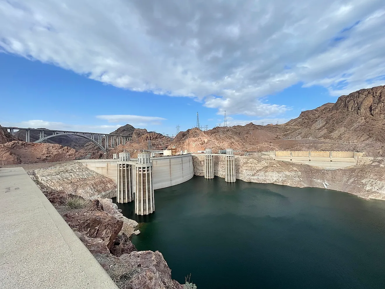
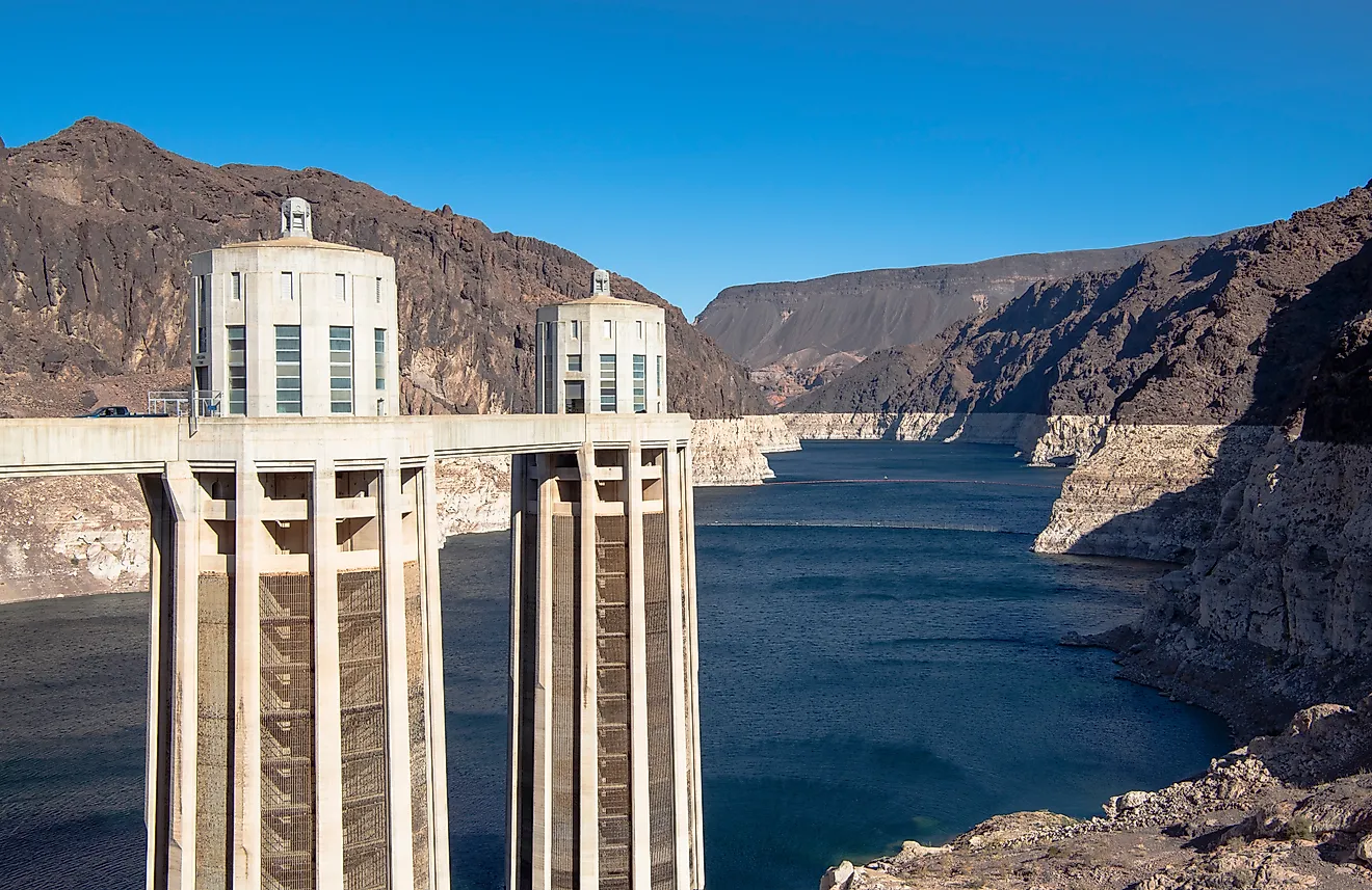
The lake is currently around 27.7 feet lower than it was a year ago. Minimum power pool, the elevation below which Glen Canyon Dam can no longer reliably generate for the roughly five million customers its plant serves, sits at 3,490 feet. Dead pool, where water can no longer pass the dam by gravity at all, is 3,370.
Reclamation's August study projects the lake dropping below 3,510 feet at some point during water year 2027.
Water Is Being Moved In From Upstream
The response to all of this is already running, and it amounts to borrowing from further up the system. Under the 2019 Drought Response Operating Agreements, Reclamation is releasing between 660,000 acre-feet and 1 million acre-feet from Flaming Gorge Reservoir between April 2026 and April 2027, specifically to prop Powell up. Combined with the reduced release, the intention was to add roughly 2.48 million acre-feet to the reservoir's position.
That is a meaningful intervention and it has not reversed the trend. It has slowed it, which under the circumstances is the realistic objective.
The Reservoir Is Also Shrinking Permanently
One long-term loss has nothing to do with the seasonal cycle and never comes back. The Colorado carries sediment, and Glen Canyon Dam stops it. Between 1963 and 2018 Powell lost an average of about 33,270 acre-feet of storage capacity each year to accumulating sediment, roughly 11 billion gallons. The reservoir's total capacity has fallen around 7 percent since it was built.
That is a small annual figure against a reservoir this size, and it is permanent. Every year the container gets slightly smaller regardless of what the weather does.
What Would Actually Change It

Only one thing reverses an autumn decline, and it does not arrive until spring. Reclamation's August 2026 forecast puts water year 2027 unregulated inflow somewhere between 3.60 and 14.30 million acre-feet, with a median case around 7.30 million. The range is enormous because snowpack is genuinely unpredictable eight months out.
Even at the median, though, Reclamation projects Powell declining below 3,510 feet during the year. A good winter produces a real spring rise and can still leave the lake lower than it was twelve months earlier, because the deficit accumulated over two decades is much larger than one strong season.
The Short Version
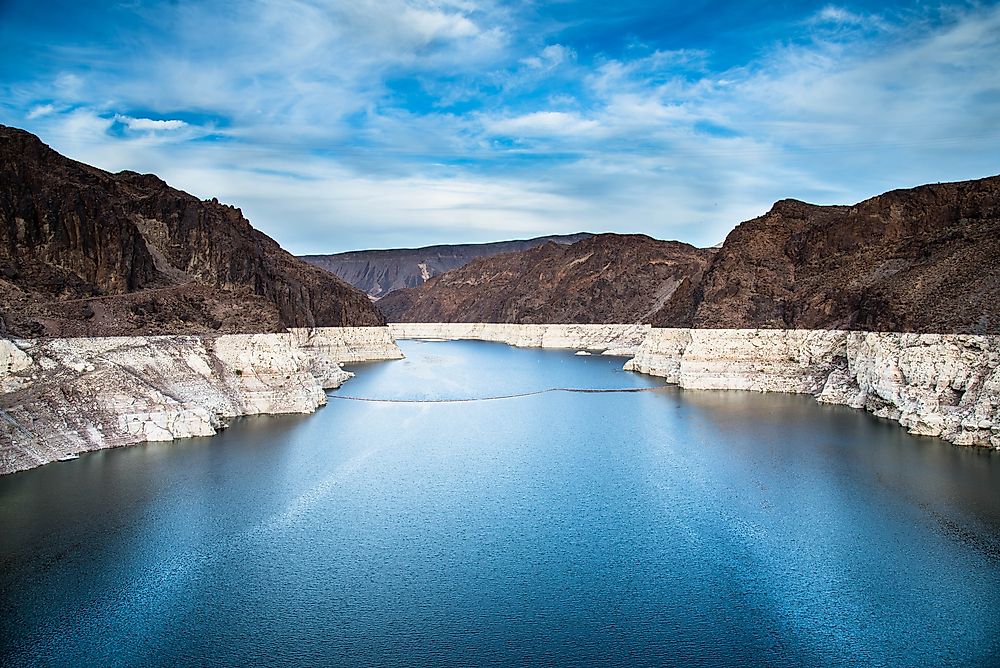
Lake Powell drops through the fall because the snow that fills it has already melted and the dam that empties it has not stopped. Inflow collapses in July, outflow continues at millions of acre-feet a year, evaporation takes a cut off the surface, and the lake falls until the following spring's melt arrives to interrupt it.
The seasonal part of that is normal and always has been. What is not normal is the starting point each autumn being lower than the last, which is what turns an ordinary annual drawdown into a record every September.