What Lies Beneath America's Deepest Reservoir
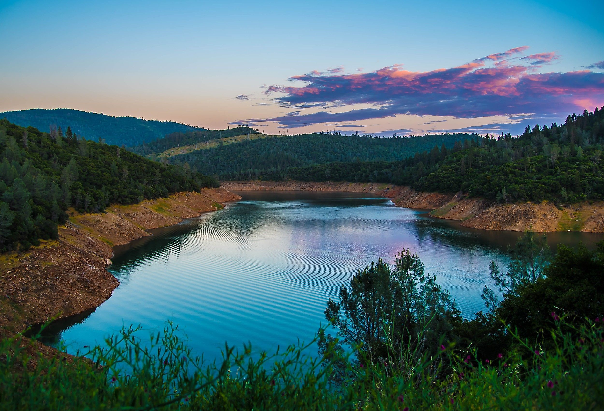
At full pool, Lake Oroville reaches about 690 feet deep near Oroville Dam, according to the California Department of Water Resources. That makes it the deepest major reservoir in the United States by maximum water depth. The lake filled in 1968 after Oroville Dam blocked the Feather River, spreading water through the old river canyon and into the North, Middle, and South Forks.
Nearly 700 feet of water can now separate a boat from ground that once carried river channels, mining claims, roads, and Indigenous cultural sites. Sediment has collected across parts of that landscape for more than half a century. Near the dam, reservoir water enters an underground power station cut into rock. Below everything lies bedrock formed more than 100 million years ago. The deeper the story goes, the farther it moves from the familiar lake visible from shore.
The Old Feather River Canyons

Modern maps of Lake Oroville still show the shape of the rivers that occupied the basin before 1968. The former Feather River channels form deep grooves beneath the reservoir, with steep canyon slopes rising toward today's shoreline. DWR's original surveys measured roughly 690 feet of maximum depth at full pool and about 167 miles of shoreline.
Scientists got an unusually clear look at the lake floor during California's severe 2021 drought. DWR used airborne LiDAR in 2021 to map terrain exposed by historically low water, then surveyed the submerged lakebed with multibeam sonar in 2022. The resulting map was far more detailed than anything surveyors could produce during construction in the 1960s. It revealed the old river system clearly: deep channels, tributary cuts, slopes, and ridges still control the shape of Lake Oroville. Water covered the Feather River landscape, while the basic form of the canyon remained underneath.
Bidwell Bar's Flooded Townsite

Gold discoveries along the Middle Fork of the Feather River turned Bidwell Bar into a busy settlement after John Bidwell found gold there in 1848. The town grew quickly enough to serve as Butte County's second county seat from 1853 to 1856. California State Parks records the former courthouse site inside the area later flooded by Lake Oroville. Much of the settlement had already declined before the reservoir arrived, and several important pieces were moved to safety. Crews relocated the 1856 Bidwell Bar suspension bridge in 1964, along with its tollhouse. The Mother Orange Tree, planted during the Gold Rush era, was also moved uphill. The original townsite stayed behind. Its former lots, roads, and archaeological traces now occupy ground covered by the reservoir, several hundred feet below the lake surface in places.
Old Crossings, Roads, and Rail Routes

Before the reservoir, travel through the Feather River country happened much closer to the canyon floor. Roads followed stretches of riverbank where the terrain allowed it, bridges linked communities across the forks, and rail lines cut through parts of the surrounding foothills. Filling Lake Oroville forced routes onto higher ground.
The old Bidwell Bar bridge gives the clearest example. Its ironwork came from the East Coast by ship around Cape Horn, and the bridge opened across the Middle Fork in 1856. Crews dismantled and relocated it before inundation, leaving the original crossing site inside the future lake.
California State Parks has also recorded historic road, trail, and railroad remains around the reservoir. Some lie in areas exposed when lake levels fall. Old cuts through slopes and traces of former routes can reappear far below the normal shoreline during drought.
Gold Mining Works

Mining reshaped sections of the Feather River long before construction crews arrived for Oroville Dam. After the gold discoveries of 1848, miners dug into river gravel, excavated hillsides, worked gold-bearing rock, and built channels to carry water toward their claims. California State Parks surveys have recorded remains from several kinds of mining around the reservoir, along with old ditches, small dams, foundations, and piles of excavated rock.
Many of those features sit close to today's changing shoreline. When reservoir levels drop, ground that has spent months or years underwater can emerge again. Old ditch lines, cuts, and rock piles sometimes become visible across exposed slopes. Their positions make sense once the former river is imagined running through the canyon below. Miners arranged roads and water channels around that river. A century later, engineers built an enormous reservoir across the same terrain, covering portions of a landscape that had already been heavily altered during the Gold Rush.
Maidu Cultural Sites

The Feather River watershed has a human history stretching thousands of years before the Gold Rush. The area around Lake Oroville forms part of the ancestral homeland of Konkow, or Northwestern Maidu, communities. Archaeologists have documented village locations, camps, fishing areas, gathering places, trails, and ceremonial sites across the wider reservoir area.
A California State Parks survey covering about 13,000 acres recorded roughly 744 archaeological sites and related cultural features. Among them were 277 prehistoric sites and another 65 containing both prehistoric and historic material. Hundreds had been affected by reservoir flooding, shoreline erosion, construction, or repeated changes in water level.
One part of the Enterprise Rancheria land was acquired for the Oroville project in the 1960s and later flooded. State and federal records place that former parcel beneath Lake Oroville today. Dam construction also cut salmon and steelhead off from large areas of upstream habitat that had long supported Indigenous fishing traditions. Exact locations of many archaeological sites remain confidential to protect them from damage and looting.
More Than 50 Years of Sediment

The lake floor mapped in the 2020s no longer matches the surface first flooded in 1968. Rivers entering Lake Oroville carry sand, silt, clay, bits of rock, and organic material. Once the current slows inside the reservoir, some of that material settles. DWR recently remapped the basin and calculated about 3 percent less storage than estimates made during the 1960s, a difference of roughly 110,000 acre-feet. DWR calculated Lake Oroville's updated capacity at about 3 percent below the 1960s estimate and identified only minor sediment-related storage loss, primarily in the distant forks and below 420 feet. The sediment does not form an even blanket. It collects more heavily in channels, near river mouths, and in other low areas. Old mining surfaces, river gravel, and archaeological ground can therefore sit beneath additional layers that accumulated after the dam was completed.
Cold Water Hundreds of Feet Down

Lake Oroville can separate into distinct temperature layers during warm weather. Sunlight heats the upper water while much colder, denser water remains deep in the reservoir. DWR can draw from that cold supply when releasing water downstream.
The temperature of those releases is closely watched because Oroville Dam blocks salmon and steelhead from their former spawning grounds farther up the Feather River. The Feather River Fish Hatchery was built during the dam project to help replace some of that lost spawning production. During the severe 2021 drought, DWR reported releasing cold water from deep in Lake Oroville while reservoir levels continued to fall. Water temperatures through parts of the Feather River and Thermalito system were being managed in the range needed for fish. A swimmer near the surface and a sensor hundreds of feet below could therefore encounter very different water on the same summer day.
The Underground Hyatt Powerplant

The Edward Hyatt Powerplant sits inside a rock beside Oroville Dam. Crews began excavating it in 1964 and completed the plant in 1967, before Lake Oroville reached its normal operating level.
Large pipes carry reservoir water down to turbines underground. The falling water spins generators that produce electricity, then flows through tunnels toward the river system below. Some units can operate in reverse, pumping water uphill so it can be stored and used again later for power generation.
The plant's dependence on the water above became especially obvious in August 2021. Drought pushed Lake Oroville so low that DWR took Hyatt Powerplant offline on August 5, 2021, the plant's first shutdown caused by low lake levels. Storms later raised the reservoir, and generation resumed in January 2022. From the lake, the immense earth-filled dam dominates the view. Much of the machinery doing the electrical work is hidden inside the adjoining hillside.
Bedrock More Than 100 Million Years Old

Below the sediment and the former river landscape are rocks formed long before the modern Sierra Nevada took its present shape. Geological surveys around Lake Oroville identify volcanic and sedimentary rocks that were altered by heat and pressure during the Jurassic Period. Many began forming more than 145 million years ago. Geologists link part of this rock to volcanic islands that once existed near the western edge of North America and were later joined to the continent as tectonic plates moved.
The region also contains large bodies of granite-related rock formed when molten material cooled underground during Jurassic and Cretaceous time. Erosion later cut the Feather River and its tributaries through this foundation, producing the steep valleys visible before the construction of Oroville Dam.
At the deepest part of Lake Oroville, about 690 feet of water ends at the lake floor. Beneath the newer sediment sits the old Feather River terrain, followed by rock recording events that took place more than 100 million years before the reservoir existed.
Lake Oroville shows how completely a reservoir can rewrite a landscape without erasing what came before. Modern surveys still trace the old Feather River canyon beneath the water, while archaeological sites, sediment, cold deep-water layers, and ancient bedrock preserve different stages of the area's history. Nearly 700 feet below the surface, the lake floor is still recognizably part of the river valley that existed before 1968.