What Happens If Lake Michigan Water Levels Keep Falling
Lake Michigan does not need to lose enormous amounts of water before the consequences become measurable. Because it is hydraulically connected to Lake Huron through the Straits of Mackinac, scientists track the pair as Lake Michigan-Huron, and their shared level responds to precipitation, runoff, evaporation, and outflow. Historical fluctuations have already shown how strongly a few inches can affect the shallow edges of the system. If levels kept falling for years, the first disruptions would gather around developed shorelines and sensitive coastal habitats, while the immense open-water body would remain unmistakably Lake Michigan. Not every change would be damaging. Lower water can expose broader beaches and fresh wetland sediment even as it complicates navigation elsewhere. How far each effect goes depends on the magnitude and duration of the decline, as well as the shape and depth of each stretch of shoreline.
Freighters Would Sail With Lighter Holds

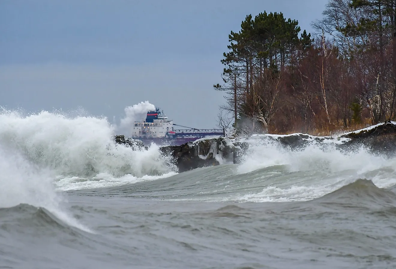
A falling Lake Michigan would first show up in the loading plans of Great Lakes freighters. Commercial vessels need enough water beneath their hulls to clear harbor bottoms and navigation channels, so lower levels reduce the draft they can safely use. The U.S. Army Corps of Engineers has estimated that a large Great Lakes vessel can lose about 270 tons of carrying capacity for every inch of draft it gives up. That matters at ports handling bulk commodities because the ship can remain fully operational while carrying substantially less material. Repeating that loss across many voyages raises transportation costs and can require additional sailings to move the same annual tonnage. The controlling depth may occur at a harbor entrance or connecting channel long before conditions on the open lake appear extraordinary. Even a one-inch draft restriction, multiplied across a busy shipping season, can remove thousands of tons from the amount individual vessels are able to move.
Harbors Would Need More Dredging
Port engineers would confront a problem already familiar around Lake Michigan. Sediment accumulates in navigation channels. Rivers and nearshore currents continually carry material into harbors, and the U.S. Army Corps of Engineers removes those deposits to maintain authorized depths. Falling water does not necessarily increase the amount of sediment. It reduces the layer of water sitting above it.
That distinction can turn an ordinary shoal into a navigation restriction. A channel that comfortably accommodated a ship during higher water can become too shallow even if its bottom barely changes. Muskegon Harbor has demonstrated how important channel depth can be. After shoaling contributed to a freighter grounding, the Corps accelerated dredging there. Persistent low levels would increase pressure to remove sediment more frequently or excavate deeper where engineering conditions allow it. Ports that cannot maintain sufficient depth may impose draft restrictions, which feeds directly back into how much cargo ships can carry. The same harbor could therefore require substantially more dredging without experiencing any increase in its sedimentation rate.
Marinas And Boat Ramps Could Lose Easy Water Access

Small boats would reveal the changing lake especially quickly. NOAA has documented how low Great Lakes levels can leave fixed docks high above the surface and make shallow passages difficult to navigate. Boat ramps are particularly sensitive because the submerged end must reach sufficient depth for a trailer to float a vessel. As the shoreline moves outward, a ramp that worked perfectly at higher water can terminate in water too shallow to launch from. Marina entrances face a similar constraint and may require additional dredging, while some floating docks have to be moved farther offshore. These difficulties became conspicuous during the prolonged low-water period that culminated in the record-low Michigan-Huron level of January 2013. Waterfront communities can extend ramps or reconfigure marina infrastructure, but the fixes require money and suitable shoreline geometry. A harbor can remain full of water yet lose access for particular boats simply because the few shallow feet between a slip and the open lake have disappeared.
Coastal Wetlands Would Redraw The Shore
Some of the most fascinating changes would occur in Lake Michigan's marshes. Great Lakes wetlands evolved with fluctuating water levels, and NOAA research shows that low-water periods expose moist sediment where sedges, bulrushes, and other wetland vegetation can germinate. Periodic exposure is valuable because it helps prevent permanently flooded conditions from favoring the same plant community year after year. Newly exposed flats can therefore become biologically productive surprisingly quickly.
A long, deep decline creates a different ecological problem. Research in the connected Michigan-Huron system has shown that channels linking coastal wetlands with the open lake can become progressively shallower as levels fall. Once those channels lose sufficient depth, aquatic organisms cannot move through them as freely, while higher portions of the marsh begin transitioning toward drier vegetation. This means wetland area alone can be misleading. An expanding patch of emergent plants does not guarantee that aquatic habitat is functioning normally. A marsh can gain newly vegetated ground while losing the watery connection that previously allowed fish to move between sheltered coastal habitat and the lake.
Fish Reproduction Could Change With The Shoreline

For Lake Michigan's fish, the crucial issue would be whether young generations can continue entering the population successfully. EPA assessments identify coastal wetlands as important habitat during the life cycles of many Lake Michigan species, with shallow vegetation supplying food and shelter for juvenile fish. Adults of some species also depend on access to protected nearshore areas during reproduction. If falling water makes the entrance to one of those habitats too shallow, suitable spawning ground can remain physically intact but become difficult or impossible to reach. Research from the Michigan-Huron system has documented losses of accessible fish habitat where declining water weakened connections between wetlands and the main lake. Other species may temporarily gain habitat where new shallow areas develop, so scientists would expect different responses across the fish community. Fisheries managers would be especially interested in recruitment rates. Repeated years of poor juvenile survival can reduce future adult populations even when today's anglers are still catching plenty of mature fish.
Changes Would Reach Upstream Into River Mouths
Lake Michigan's influence does not stop at the point where a tributary reaches the shore. Near many river mouths, the elevation of the lake creates a backwater effect that helps determine river depth and current speed. U.S. Geological Survey research on Wisconsin's Sheboygan River found that Lake Michigan levels can influence hydraulic conditions for more than seven kilometers (about 4.3 miles) upstream. Lower lake levels reduce that influence, changing the places where water slows and sediment accumulates.
The exact response depends heavily on the shape and flow of each tributary. Falling water may expose sediment near one mouth while encouraging a channel to cut more deeply through another. Those physical shifts can alter shallow aquatic habitat as well as navigation routes used by small boats. USGS observations during very low Lake Michigan conditions have also shown changes in how far lake-driven water-level oscillations extend upstream. A decline measured on the open lake can therefore reorganize currents and sediment well inland from the visible shoreline, making river mouths one of the more geographically extensive consequences of sustained low water.
Many Sandy Beaches Could Become Wider

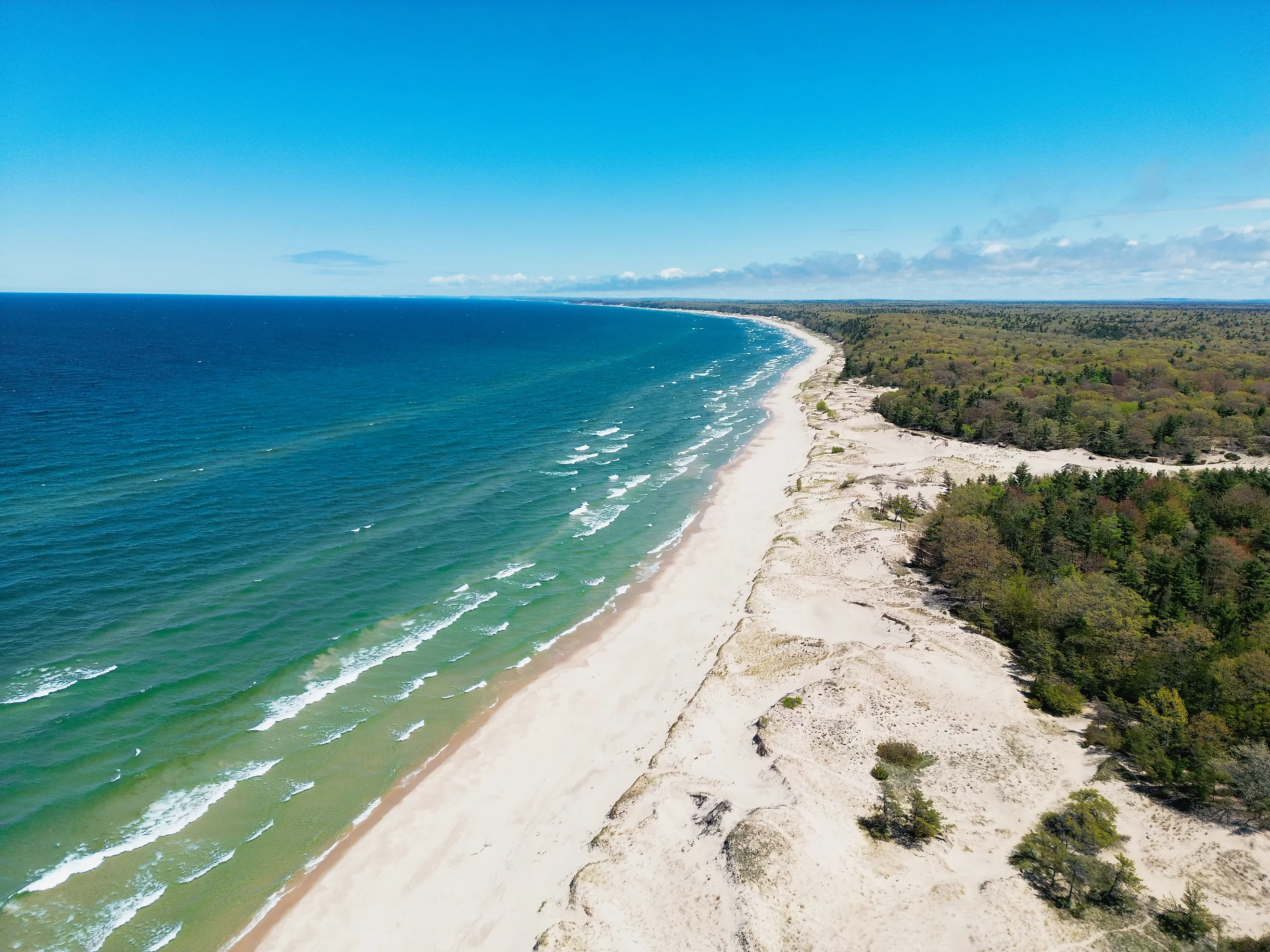
A falling lake has one effect that beachgoers may genuinely enjoy. Along suitable sandy shorelines, more beach can emerge. As the surface drops, sand that had been underwater becomes exposed and the visible shoreline shifts lakeward. NOAA also reports that shoreline erosion generally decreases during low-water periods because waves reach bluffs and developed shorelines with less water beneath them. Research by the U.S. Geological Survey on southern Lake Michigan has connected high lake stands with stronger bluff erosion and beach submergence, illustrating why the opposite conditions can temporarily relieve pressure on some shores. The effect is not identical everywhere because Lake Michigan's currents continue redistributing sand. Piers and breakwaters can also interrupt that sediment movement, leaving one beach with abundant sand while another nearby section erodes. On sandy reaches where sediment remains available, however, lower water can create a broader buffer between breaking waves and the base of an eroding bluff, reducing direct wave attack while opening noticeably more beach.
Drinking-Water Problems Would Require A Much More Extreme Decline
Municipal drinking-water systems sit much farther down the chain of consequences than boat ramps or shipping channels. Major Lake Michigan intakes are generally positioned offshore and deep enough to tolerate the fluctuations already observed in the Great Lakes. International Joint Commission assessments have found that municipal water supplies in the upper Great Lakes have historically been relatively resilient within that recorded range.
A decline far beyond familiar lows could eventually test those engineering margins. Reduced depth above an intake may alter pumping conditions, while changing nearshore hydraulics and sediment movement could create additional operational concerns depending on where the structure sits. Utilities facing an exceptionally large and persistent decline could modify pumping equipment or extend infrastructure into deeper water, although the appropriate response would differ among systems. This is not a realistic consequence of the lake simply dropping several inches during a dry period. Recreational access, commercial draft, and wetland connections become sensitive much earlier. Serious trouble for major drinking-water intakes belongs to a scenario in which Michigan-Huron remains well below the levels its existing infrastructure has historically experienced.
The Shoreline Feels It First
If Lake Michigan water levels kept falling, the biggest changes would appear first along the shoreline. Ships would carry less cargo, harbors and marinas would become shallower, and wetlands and fish habitat would shift as the water retreated. Some sandy beaches could grow wider and experience less erosion, but a prolonged decline would create growing economic and ecological challenges. The severity of those effects would depend on how far the lake fell and how long low-water conditions lasted.