The Youngest Lakes In North America
On the morning of May 18, 1980, the north flank of Mount St. Helens collapsed and blocked two creeks that had run clear the day before. Within weeks, Coldwater and Castle lakes filled valleys that had never held standing water. They are the young extreme of the list below, which spans 46 years to roughly 700, and where the newest arrivals were violent enough to need engineered spillways so they would not burst and flood the towns downstream. More than one killed people. What they share is a birthday precise enough to argue over: a specific eruption, quake, or landslide that someone watched happen.
El Chichón Crater Lake, Mexico

El Chichón gained a new summit crater during explosive eruptions in March and April 1982. The blasts destroyed the volcano's former summit domes and excavated a crater about 0.6 mile wide. U.S. Geological Survey researchers recorded three small pools on the crater floor by April 25. Heavy summer rain then filled the depression rapidly. By November, a single lake held roughly 5 million cubic meters of water. Early measurements showed how active the system remained below the surface. In January 1983, researchers recorded water temperatures between 126°F and 136°F and a pH near 0.5. Hydrothermal gases and heated groundwater continued feeding the crater after the eruption ended. The lake now fills much of the 1982 depression in Chiapas. Its origin can be dated to a specific volcanic episode documented by scientists within weeks of the first water appearing.
Coldwater Lake, Washington

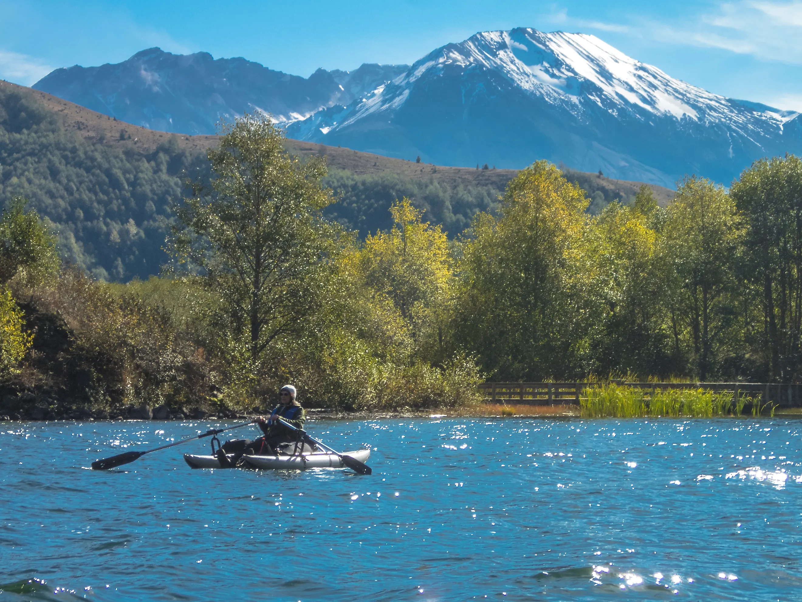
Coldwater Creek crossed a mountain valley northwest of Mount St. Helens until May 18, 1980. That morning, the north flank of Mount St. Helens collapsed during the opening stages of the eruption. The resulting debris avalanche spread across the upper Toutle River drainage and blocked the creek. Water began collecting behind the debris, creating Coldwater Lake. U.S. Geological Survey mapping ties the lake directly to the 1980 avalanche deposit.
The new blockage caused immediate concern because loose volcanic debris can fail when water rises against it. Engineers completed a spillway in 1981 to control the lake level and reduce downstream flood risk. The lake remained in the valley, surrounded by terrain heavily altered by the eruption. Its shoreline, drainage, and outlet all date to a landscape change that occurred in a single morning.
Castle Lake, Washington

South Fork Castle Creek was blocked during the same May 18, 1980 debris avalanche that reshaped the Mount St. Helens region. Volcanic debris piled across the drainage and trapped runoff behind it. Castle Lake formed on the upstream side of the new barrier. U.S. Geological Survey records identify it as one of the lakes created directly by the 1980 eruption and flank collapse.
Water levels rose quickly after the eruption. Geologists studied the natural dam closely because erosion or overtopping could have released a damaging flood into the Toutle River system.
A reinforced spillway was installed in 1981 to keep the lake at a safer elevation. The basin itself remained natural. Castle Lake still occupies the drainage blocked by the avalanche, making its age almost exact: the lake dates to May 18, 1980.
Earthquake Lake, Montana

A magnitude 7.3 earthquake struck southwestern Montana late on August 17, 1959. Minutes later, part of a mountain slope collapsed into Madison Canyon. The landslide carried roughly 50 million cubic yards of rock, mud, and debris down the south wall, according to the U.S. Geological Survey. The mass crossed the canyon floor and piled into a debris dam about 200 feet high across the Madison River. Water backed up behind it immediately, forming Earthquake Lake. The disaster killed 28 people in the surrounding area and buried roads, campsites, and sections of the canyon floor. Engineers later cut a controlled spillway through the landslide deposit to prevent a sudden breach. Large portions of the original slide remain visible beside the lake today. The event is documented in photographs, eyewitness accounts, seismic records, and detailed USGS studies, giving the lake one of the clearest formation dates in North America.
Mendenhall Lake, Alaska

Mendenhall Lake began forming during the early twentieth century as Mendenhall Glacier retreated up its valley near Juneau. A U.S. Geological Survey professional paper places the lake's formation around 1931. The glacier had already pulled back about 3 kilometers after 1909, exposing a bedrock depression that filled with meltwater.
The lake expanded as the ice front continued moving inland. That change also altered sediment movement through the valley. The growing lake trapped coarse material that had previously passed downstream into the Mendenhall River. Modern visitors can see the process continuing at the head of the lake, where the glacier has retreated far beyond positions recorded in early twentieth-century photographs. Mendenhall is one of the youngest large natural lakes in Alaska with a formation age supported by direct historical observations.
Lower Slide Lake, Wyoming

On June 23, 1925, part of Sheep Mountain collapsed into the Gros Ventre River valley east of Jackson. About 50 million cubic yards of rock and debris broke loose, one of the largest landslides in North America's recorded history. Material dropped roughly 2,100 feet and spread across the valley floor, where deposits reached more than 200 feet deep in places. The river was blocked almost immediately, and water began filling the upstream valley. Lower Slide Lake developed behind that landslide dam.
Geologists have linked the slope failure to weak sedimentary layers, groundwater, erosion, and unusually wet conditions during the spring of 1925.
The blockage partially failed on May 18, 1927. Floodwater rushed downstream and struck the town of Kelly, killing six people. A large section of the landslide dam survived, and Lower Slide Lake remains behind it nearly a century later.
Mount Katmai Crater Lake, Alaska

The summit of Mount Katmai collapsed during the enormous Novarupta eruption of June 1912. Magma moved away from beneath Katmai toward the Novarupta vent, leaving the summit unsupported. National Park Service research estimates that about 1.2 cubic miles of the mountain collapsed into the emptied magma system. The resulting caldera measures roughly 2 miles across.
Explorers reached the summit only a few years later. National Geographic Society expeditions in 1916 and 1917 reported a shallow lake inside the new caldera. The water later drained for a time, then returned. Modern measurements put the lake depth at roughly 800 feet, and National Park Service observations show that its level has continued to change. The present basin dates directly to the 1912 eruption, while the first recorded lake occupied it within several years.
Reelfoot Lake, Tennessee

Reelfoot Lake formed during the New Madrid earthquake sequence of 1811 and 1812. The strongest local deformation came with the February 7, 1812 earthquake along the Reelfoot fault. U.S. Geological Survey studies document subsidence of roughly 1.5 to 6 meters across parts of the surrounding landscape. Water spread into the lowered ground, flooding forests and creating the shallow lake complex that survives today. Contemporary accounts describe drowned timber and extensive changes along the Mississippi River floodplain. The USGS estimates the February earthquake at about magnitude 7.5, making it one of the strongest historical earthquakes in the central United States. Reelfoot now covers thousands of acres of northwestern Tennessee, with broad cypress stands, wetlands, and open water occupying land transformed just over two centuries ago.
Lake San Cristobal, Colorado

Lake San Cristobal formed when the older Slumgullion landslide blocked the Lake Fork of the Gunnison River about 700 years ago. U.S. Geological Survey researchers used radiocarbon dates and tree-ring evidence to constrain the age of the deposit. The original impoundment stretched roughly 4.3 kilometers along the valley and covered about 1.8 square kilometers.
Sediment has gradually reduced those dimensions. Deltas built by the Lake Fork and Slumgullion Creek have shortened the lake to about 3.3 kilometers and trimmed its surface area to roughly 1.34 square kilometers.
The natural blockage has survived for centuries despite continuing movement within parts of the Slumgullion earthflow. Lake San Cristobal now reaches depths of about 27 meters near Lake City. Its age is much younger than most major natural lakes in the Rocky Mountains.
Blue Lake, Oregon

Blue Lake occupies a maar crater in Oregon's central Cascades west of Sisters. U.S. Geological Survey dating places the eruption that formed the crater at about 1,300 years ago. Radiocarbon samples came from forest material buried beneath volcanic deposits associated with nearby vents. Geological mapping links those vents and Blue Lake Crater to the same eruptive episode. The eruption spread tephra east-northeast across the surrounding landscape. USGS studies found deposits more than 2 meters thick along parts of nearby Suttle Lake. Cinder, welded spatter, and other volcanic material still ring the Blue Lake basin. Earlier estimates had suggested a much older age, but later work showed that some dated material came from deposits beneath the Blue Lake eruption. The newer evidence places the lake among the youngest well-dated volcanic lakes in the Cascade Range.
Reading a Lake by Its Age
These ten basins share a trait that most lakes lack: a birthday. Volcanic collapse, landslide, fault subsidence, and glacial retreat each leave a signature that radiocarbon dates, tree rings, seismographs, or a photograph taken the same week can pin to a year, sometimes to a morning. That precision separates them from the glacier-carved giants whose ages run to five or six figures. The volcanic and landslide lakes tend to be the youngest and the least stable, held back by debris that engineers have had to reinforce at Coldwater, Castle, and Earthquake lakes alike. The glacial and subsidence lakes settle more quietly. Read together, they show how quickly water finds a new low spot once the ground moves.