The Lakes That Sit on Fault Lines in the United States
A fault is a crack where slabs of the Earth grind past each other, and now and then one lets a lake form. A few American lakes owe their whole existence to that grinding. Reelfoot in Tennessee dropped into place over a few winter weeks in 1811. Lake Tahoe took two million years of the crust pulling apart. Clear Lake in California rides a fault block that keeps sinking beneath it.
Lake Tahoe

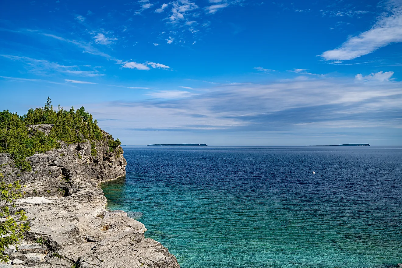
Lake Tahoe is the best-known fault-line lake in the country, and its basin is the work of the crust stretching apart along several fault systems. It straddles the California and Nevada line as the largest alpine lake in North America. At a maximum depth of 1,645 feet (501 meters), it ranks as the second deepest lake in the United States, behind only Crater Lake.
The basin took shape roughly two million years ago through faulting and later glacial activity. Three principal faults run beneath the water. The largest, the West Tahoe Fault, follows the western shore between Meyers and Tahoe City. The Stateline/North Tahoe Fault begins mid-lake and lifts the ground that forms Stateline, Nevada. The Incline Village Fault runs parallel to it, offshore and into Incline Village.
Scientists estimate the West Tahoe Fault can produce an earthquake of magnitude 7 or larger. Geological records point to quakes of that size in the basin roughly every 2,000 to 3,000 years. Because the deepest faults sit under 500 meters of water, a large rupture could send a tsunami across the lake in minutes.
Reelfoot Lake

Reelfoot Lake broke the usual pattern and formed almost overnight. During the New Madrid earthquakes of 1811 and 1812, blocks of land dropped along faults in the New Madrid Seismic Zone. The February 7, 1812, shock uplifted a stretch of the Reelfoot Fault, briefly reversed the Mississippi River, and let its water flood the sunken forest. Subsidence across the basin reached anywhere from about 5 to 20 feet.
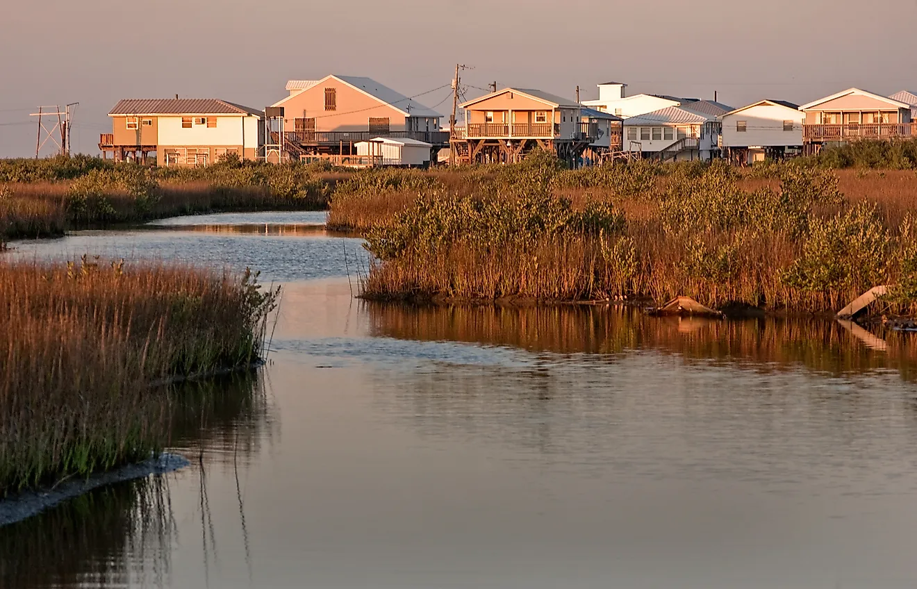
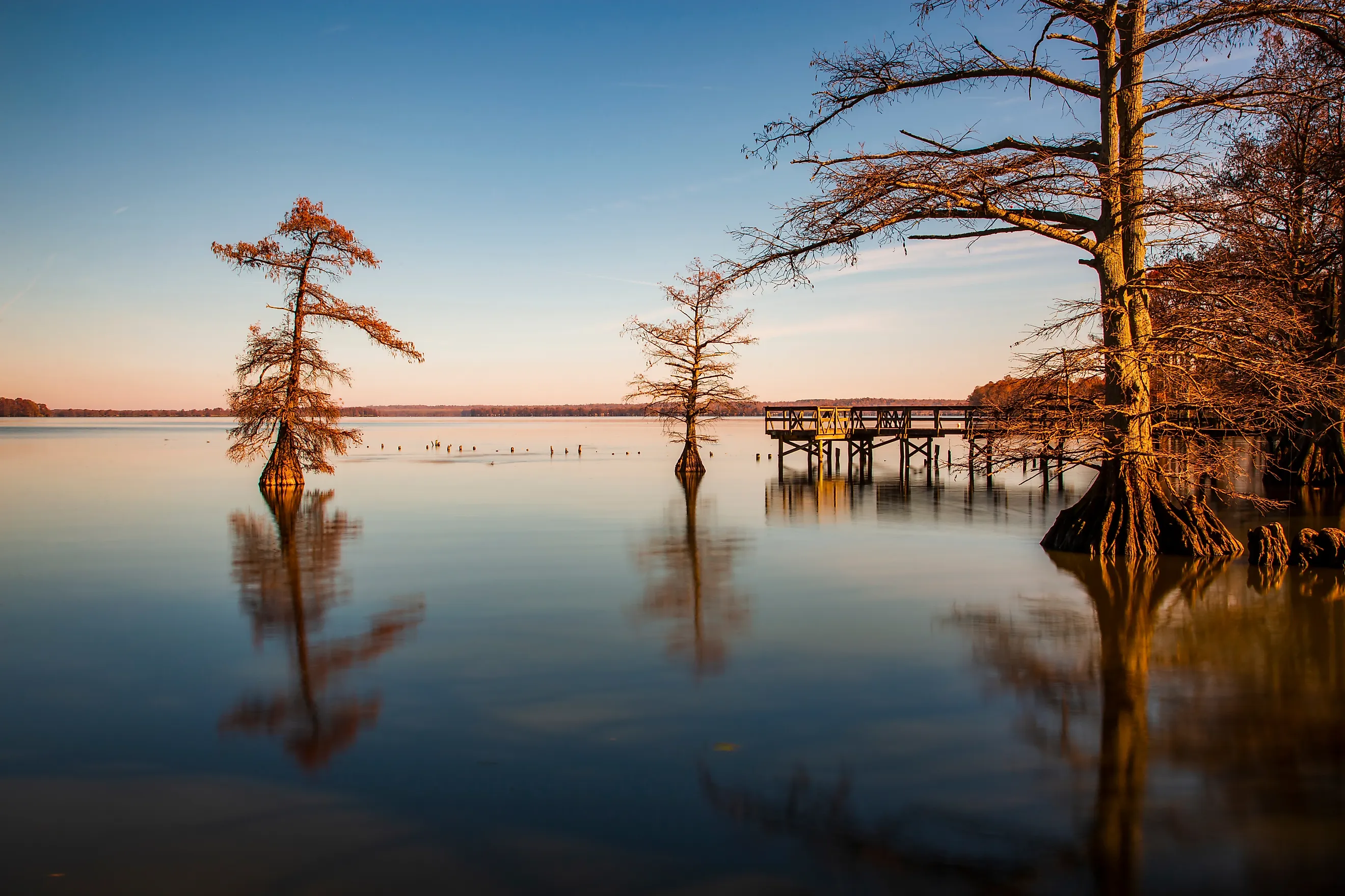
Today the lake is shallow and swamp-like, threaded with bayou channels, and much of it runs only a few feet deep. The drowned forest never fully rotted. The bald cypress the lake is famous for still stand in open water, and their submerged stumps mark the pre-quake shoreline.
Local legend offers its own account. A Chickasaw chief named Reelfoot is said to have stolen a princess and angered the Great Spirit, who stamped the ground until the earth shook and the water rose. Seen from above, the lake really does trace the rough shape of a foot.
Clear Lake

Clear Lake has held water for close to 480,000 years, which makes it one of the oldest lakes in North America. It sits in an active, fault-controlled basin tied to the broad San Andreas system. The block beneath the lake tilts northward at about the same rate sediment fills the basin, so the water stays near the same depth over enormous spans of time.
The lake was once larger, and volcanic eruptions and landslides reshaped the country around it. It lies inside the Clear Lake Volcanic Field, a cluster of small faults and volcanoes ranging in age from about 10,000 to 2.1 million years. The largest is Mount Konocti, a dacite volcano on the lake's south shore. No eruption has occurred in thousands of years, though volcanic-type earthquakes and gas seeps keep the field on the watch list for future activity.
Earthquake Lake

Earthquake Lake did not exist before the night of August 17, 1959. At 11:37 that evening a magnitude 7.3 earthquake struck near the Madison River in southwestern Montana. The shaking loosened roughly 50 million cubic yards of rock from the canyon wall, and the slide dammed the river and ponded the water behind it. The area lies along the Intermountain Seismic Belt, a wide zone of earthquake-prone geology, where small tremors register almost daily.
The landslide swept down the canyon at an estimated 100 miles per hour (160 km/h). Aftershocks continued for months. The energy reached well beyond the canyon, disrupting geyser intervals in Yellowstone and jostling water levels in wells as far away as Hawaii and Puerto Rico.
The lake stretches about six miles with a maximum depth near 125 feet (38 meters). Bleached, dead trees still rise from the surface, a standing record of the meadow and forest that the new water drowned.
Hebgen Lake

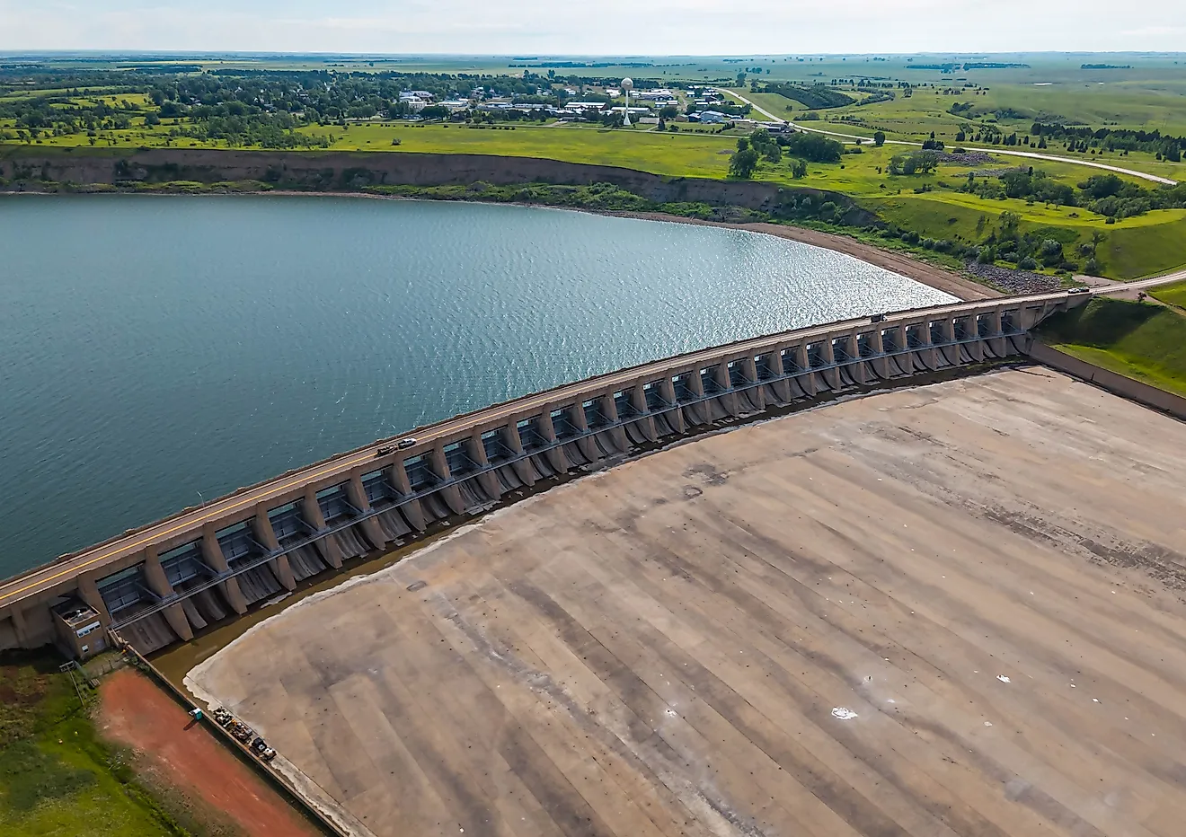
The 1959 quake was centered near Hebgen Lake, about six miles west-northwest of West Yellowstone. Hebgen is a reservoir built by the Hebgen Dam in 1914, sitting just upstream of Earthquake Lake on the Madison River. It runs roughly 15 miles long and 5 miles wide, with a depth of about 70 feet.
When the ground gave way, the whole lake began to slosh in a standing wave that geologists call a seiche. The first surges ran high enough to pour over the dam crest several times. Downstream, the Madison Slide buried the overflow area below the Rock Creek Campground, and most of the earthquake's 28 deaths happened there.
The shaking left a lasting mark on the shoreline itself. The north shore dropped by as much as 19 feet, sinking docks, beaches, and cabins under the risen water. To the south, the fault block lifted, raising the ground by around 20 feet along an eight-mile stretch. The dam settled about 10 feet and took heavy damage but held.
Restless Water
The same faults that threaten these regions also built some of the country's most remarkable lakes. Tahoe deepened across two million years of slow crustal stretching, while Reelfoot filled in a matter of weeks. Clear Lake outlasts almost every other lake on the continent precisely because its basin keeps sinking. Together they show that a fault line does more than break the ground. It shapes the water that gathers on top of it.