The US Reservoirs Holding The Most Water Right Now
Lake Mead and Lake Powell are the largest reservoirs in the country, but neither is holding the most water right now. Both sit far below their capacity after years of drought on the Colorado River. Measure by the water actually in each reservoir today, and the leaders are a string of Missouri River reservoirs across the northern Plains. The figures below are provisional late-August 2026 readings from federal and state agencies, so treat them as a snapshot rather than a fixed ranking.
Lake Oahe, South Dakota and North Dakota - 15.074 Million Acre-Feet

The heavyweight of this list sits across the northern Plains. Lake Oahe held 15.074 million acre-feet at midnight on August 21, 2026, when the Army Corps measured its surface at 1,594.87 ft. That reading placed this Missouri River impoundment comfortably ahead of every other reservoir in the comparison. Its basin has room for considerably more: Corps project statistics list a storage capacity of 23.137 million acre-feet, with the full reservoir extending about 231 miles and covering roughly 370,000 acres.
The numbers describe an extraordinary landscape around Pierre. At the project's reference level, about 2,250 miles of shoreline curl around bays, river mouths, and prairie bluffs. More than 50 recreation areas provide public access, and the walleye, northern pike, smallmouth bass, and stocked salmon support a substantial fishery. Oahe's latest measured content equals roughly 18.6 km³ of water, more than twice Lake Mead's current volume.
Lake Sakakawea, North Dakota - 14.482 Million Acre-Feet

North Dakota comes astonishingly close to taking first place. Lake Sakakawea contained 14.482 million acre-feet on August 21, with its elevation at 1,826.03 ft, according to the Army Corps' Missouri River bulletin. Garrison Dam impounds a reservoir capable of storing more than 23 million acre-feet and reaching roughly 178 miles at its full reference level. The water spreads through rolling prairie and badlands country, forming about 1,340 miles of shoreline at 1,837.5 ft and a surface area approaching 382,000 acres. This is no passive body of water, either. The Corps operates Garrison for purposes that include flood-risk reduction, hydropower, irrigation, water supply, and navigation, while parks and marinas open large sections of Sakakawea to boaters and anglers. The latest contents amount to almost 17.9 km³, only about 592,000 acre-feet less than Oahe.
Fort Peck Lake, Montana - 12.683 Million Acre-Feet

Montana completes an extraordinary Missouri River sweep of the top three. Fort Peck Lake held 12.683 million acre-feet on August 21, 2026, at an elevation of 2,223.33 ft. The project's upper storage capacity reaches about 18.46 million acre-feet.
The reservoir runs roughly 134 miles across northeastern Montana and can form more than 1,500 miles of shoreline. Near the dam, maximum depth reaches about 220 ft, a striking contrast with the open prairie and badlands surrounding much of the lake. Fort Peck Dam itself is an immense earth structure whose powerhouses still generate electricity as water moves through the Missouri system.
That 12.683 million acre-feet translates to approximately 15.6 km³. It is almost 5.75 million acre-feet more water than Lake Mead held on August 20, despite Fort Peck receiving far less public attention. Municipal and industrial water intakes also draw on the project, and the stored water is central to downstream river management.
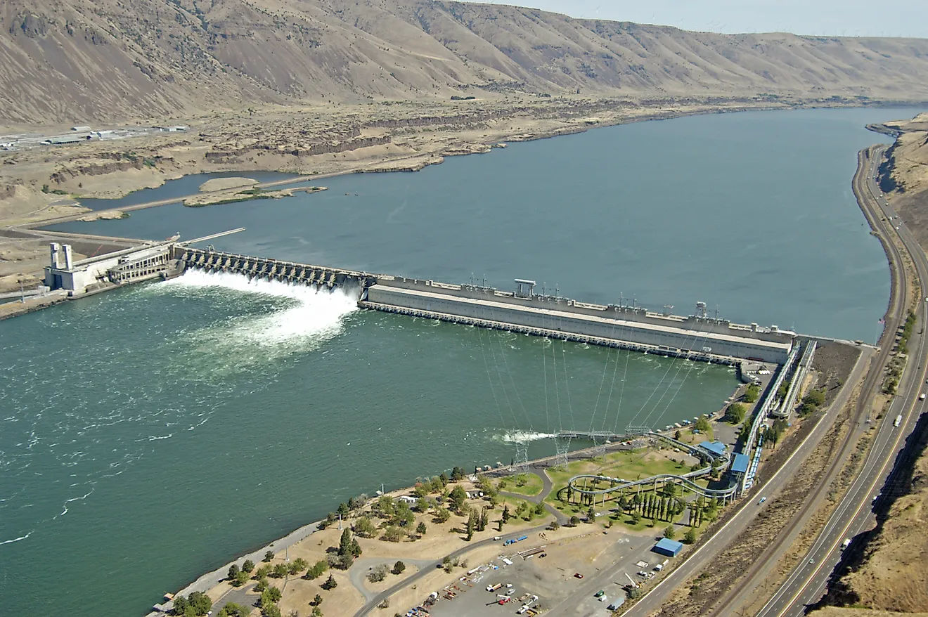
Franklin D. Roosevelt Lake, Washington - About 9 Million Acre-Feet

The first non-Missouri reservoir on the list sits on the Columbia, behind Grand Coulee Dam. Corps monitoring placed Franklin D. Roosevelt Lake's forebay at about 1,280.9 ft late on August 15, 2026. Applying the project's official elevation-storage relationship puts its contents near 9 million acre-feet. Because the Corps gauge reports elevation rather than a daily gross-storage number, that figure is an estimate and does not carry the precision appropriate to Oahe or Mead.
Lake Roosevelt reaches about 151 miles from Grand Coulee toward the Canadian border and has approximately 600 miles of shoreline. Those dimensions make a drive or boat trip along it feel more like following a river corridor than circling a conventional lake. Grand Coulee is the key structure in Reclamation's Columbia Basin Project, where Columbia River water supports extensive irrigation as well as power generation. Lake Roosevelt National Recreation Area occupies much of the long reservoir corridor.
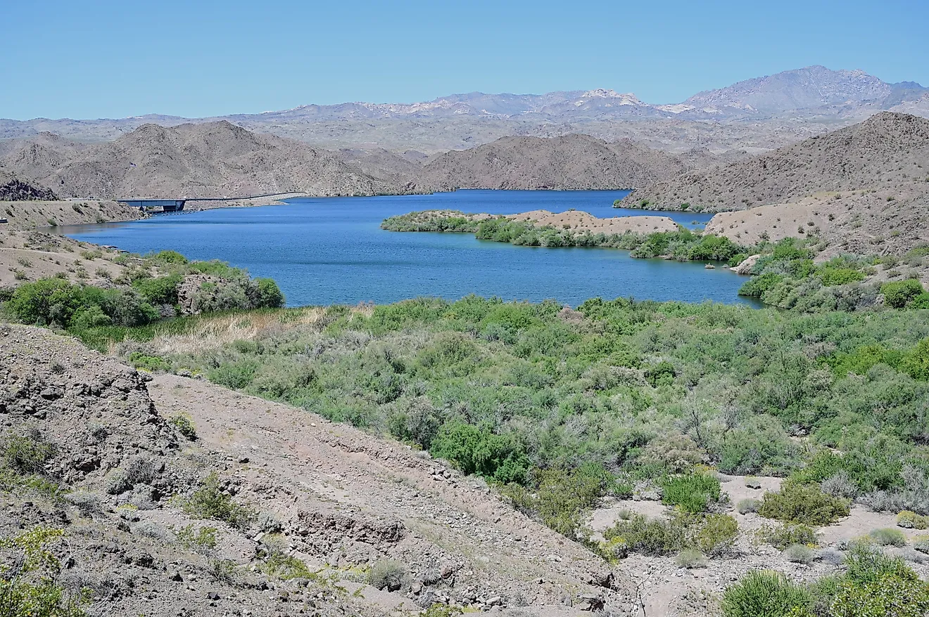
Lake Mead, Nevada and Arizona - 6.939 Million Acre-Feet

Lake Mead's position may be the biggest surprise of all. Reclamation measured 6.939 million acre-feet on August 20, 2026, with the water surface at 1,039.44 ft. On August 1 the reservoir had contained 7.051 million acre-feet, so roughly 112,000 acre-feet left storage over the following 19 days.
The basin above Hoover Dam was designed for far more. Reclamation lists 26.12 million acre-feet of available capacity at the elevation marking the bottom of Mead's exclusive flood-control space. That immense difference between present water and available room explains why old waterlines remain so conspicuous around the desert walls.
Yet 6.939 million acre-feet is hardly a small lake. Mead still held about 1.72 million acre-feet more than Powell on August 20, and its long arms still reach between volcanic ridges and pale canyon slopes around Hoover Dam. What has changed is its national standing: Oahe was carrying more than twice Mead's volume at almost the same moment.
Lake Koocanusa, Montana and British Columbia - About 5.38 Million Acre-Feet

Lake Koocanusa is the geographical oddity in the ranking, because the reservoir behind Montana's Libby Dam continues north into British Columbia. The Army Corps' latest project fact sheet gives 5.869 million acre-feet of total capacity and 4.9795 million acre-feet of usable storage. Its August operating data placed usable contents around 4.49 million acre-feet; adding the approximately 889,500 acre-feet below the usable-storage datum produces an estimated gross volume near 5.38 million acre-feet. The distinction matters because comparing usable storage with the gross contents reported for Mead or Oahe would understate Koocanusa's water. Its setting is equally distinctive: the reservoir extends about 90 miles along the Kootenai River through forested mountain country. Libby was constructed as a Columbia River Treaty project, and nine Corps-managed recreation areas provide access for boating, fishing, hiking, and camping along the shore.
Lake Powell, Utah and Arizona - 5.217 Million Acre-Feet

Red sandstone makes Lake Powell look enormous from almost any overlook, but the latest storage figure puts its present scale into perspective. Reclamation recorded 5.217 million acre-feet on August 20, 2026, at an elevation of 3,519.20 ft. Powell had held 5.383 million acre-feet on August 1, so its contents declined by about 166,000 acre-feet in 19 days while the water surface dropped nearly 3 ft. Maximum storage in Reclamation's current operational table is 23.314 million acre-feet.
The exposed canyon walls make that difference unusually easy to see. Pale bands mark former water levels high above today's shoreline, while the remaining reservoir still threads through flooded side canyons upstream of Glen Canyon Dam. Its present 5.217 million acre-feet equals roughly 6.4 km³ of Colorado River water. Koocanusa's estimated gross content currently edges past it, while Mead holds roughly one-third more.
Toledo Bend Reservoir, Texas and Louisiana - 3.995 Million Acre-Feet

Toledo Bend brings the ranking into the forested Sabine River country. Texas Water Development Board records show 3,994,974 acre-feet in the reservoir on August 21, 2026, at a mean water level of 169.06 ft. The calculated surface area was still an enormous 168,416 acres.
Its published 89.2% full figure requires some explanation. Texas has rights to half of Toledo Bend's conservation capacity, so the state's percentage-full calculation refers to that Texas share. The separate reservoir-storage field measures the water actually present across the whole reservoir and is therefore the appropriate figure for this comparison. The state also labels the newest data provisional.
From the water, Toledo Bend is a maze of wooded coves and broad open reaches straddling Louisiana and Texas. Its branching shoreline has made the reservoir particularly important for boating and freshwater fishing, but the accounting distinction is just as interesting: a reservoir can contain nearly four million acre-feet while showing a percentage-full figure based on a different definition.
Lake Francis Case, South Dakota - 3.485 Million Acre-Feet

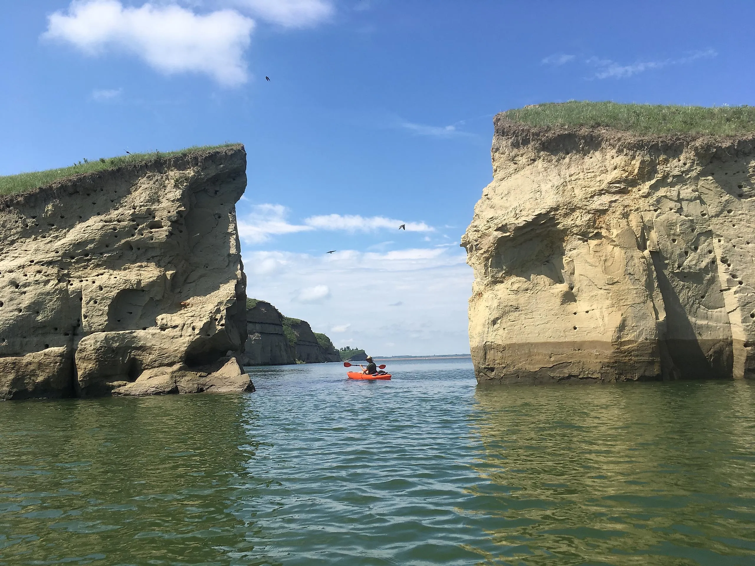
Lake Francis Case gives South Dakota a second reservoir among the national leaders. The Army Corps measured 3.485 million acre-feet behind Fort Randall Dam at midnight on August 21, when the pool stood at 1,355.93 ft. The project's total storage capacity is about 5.418 million acre-feet, and its long, narrow shape follows roughly 107 miles of the Missouri River valley. Around 540 miles of shoreline meet rolling prairie, rugged bluffs, eroded ravines, and side canyons characteristic of the Missouri Plateau. Fort Randall's powerhouse remains part of the working river system, with stored water released through turbines during normal operations and additional outlets available when flood-management conditions require them. The present reservoir volume is approximately 4.3 km³, enough to place Francis Case ahead of several better-known large reservoirs elsewhere in the country. Its inclusion also means four of these ten high-volume reservoirs belong to the Missouri River mainstem system.
Hungry Horse Reservoir, Montana - Roughly 3.2 Million Acre-Feet

The final entry climbs into the northern Rockies. Corps observations placed Hungry Horse Reservoir at 3,553.42 ft on August 14, 2026. Reclamation gives 3,560 ft as the top of active conservation storage, where total water storage reaches 3,467,179 acre-feet. With the lake only 6.58 ft below that reference level, its mid-August contents sit in roughly the low-3-million-acre-foot range, though this is an elevation-based estimate rather than a directly reported same-day gross-storage value.
The setting could hardly be more different from the desert shores of Powell. Hungry Horse extends about 34 miles through Flathead National Forest, less than 30 miles from the Continental Divide, with more than 25 mountain peaks around the reservoir. The 564-ft concrete dam stores runoff from the South Fork Flathead River and supports hydropower and downstream Columbia River operations. Reclamation normally fills the reservoir around early summer before drafting it later in the season to support downstream flows.
Reading The Snapshot
The clearest lesson of a same-day comparison is that design capacity and present contents tell different stories. Mead and Powell were built to hold far more than any Missouri River reservoir, yet on August 20 the two Colorado giants together held less water than Oahe and Sakakawea alone. Four of the ten leaders belong to the Missouri mainstem, a system whose steadier northern runoff has kept its reservoirs comparatively full while the Colorado basin runs through a prolonged shortage. Because several of these figures are provisional and the agencies read their gauges on slightly different days, the exact order will shift with the next bulletin. The broad picture is the durable part: right now, the country's deepest water reserves sit on the northern Plains rather than in the desert Southwest.