Lake Sakakawea
Lake Sakakawea is a large reservoir created by the Garrison Dam's construction on the Missouri River in the north-central portion of the United States. Named after the native Lemhi Shoshone woman Sacagawea (also spelled Sakakawea), it is the biggest artificial lake situated entirely within the state of North Dakota. After Lake Mead and Lake Powell, Lake Sakakawea is the nation's third-largest reservoir by volume and also the country's second-largest man-made lake by area after Lake Oahe. Lake Sakakawea is a popular destination offering ample recreational opportunities for boaters, anglers, swimmers, and campers who take advantage of this expansive lake year-round.
Geography And Climate Of Lake Sakakawea

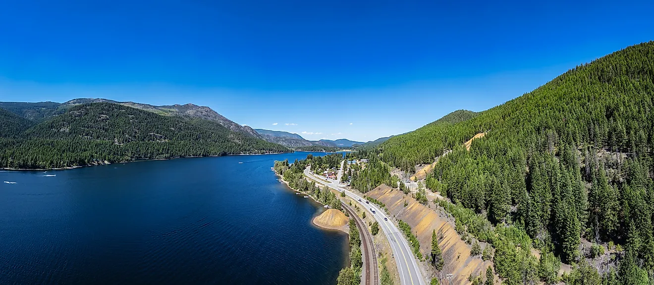
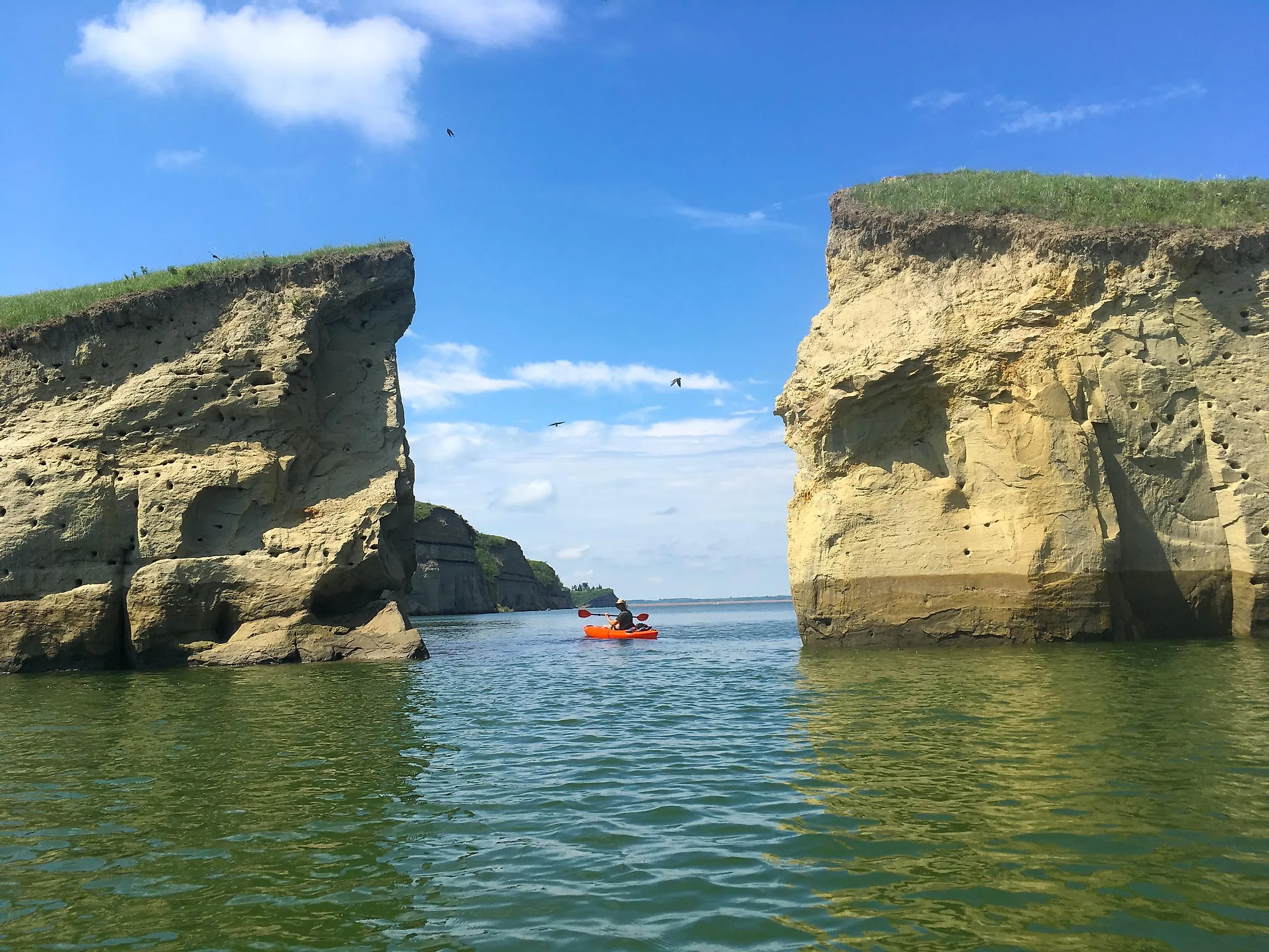
Located in the west-central portion of North Dakota, approximately 50 miles from the state capital Bismarck, Lake Sakakawea is within the counties of Dunn, McLean, Mountrail, McKenzie, Mercer, and Williams. Covering a surface area of 307,000 acres and placed at an elevation of 1,817 ft, the reservoir has a maximum length of 178 miles and a shore length of 1,320 miles. The width of the lake averages between 2 to 3 miles, with its maximum width being 14 miles at the Van Hook Arm. Lake Sakakawea reaches a maximum depth of 180 ft and holds a water volume of 23,800,000 acre-feet. The lake receives its primary inflows from the Missouri River, Milk River, Yellowstone River, and the Little Missouri River. It has a catchment area of 122,500 square miles. Some significant settlements close to the lake include Williston, Four Bears Village, Pick City, and Riverdale.
The area of North Dakota in which Lake Sakakawea is situated experiences a typical continental climate. The average monthly temperature here ranges from a low of -13°C in January to a high of 21°C in July. The annual average precipitation ranges from 14.56 inches at Williston at the lake’s western end to about 15.74 inches at Garrison at the lake’s eastern end. About 75% of this yearly precipitation is received from April to September. The lake’s water level usually drops during the late growing season and reaches a low during February or March. The water level rises only a little until the beginning of June and then rises sharply to reach its highest level in late July or early August.
Brief History Of Lake Sakakawea
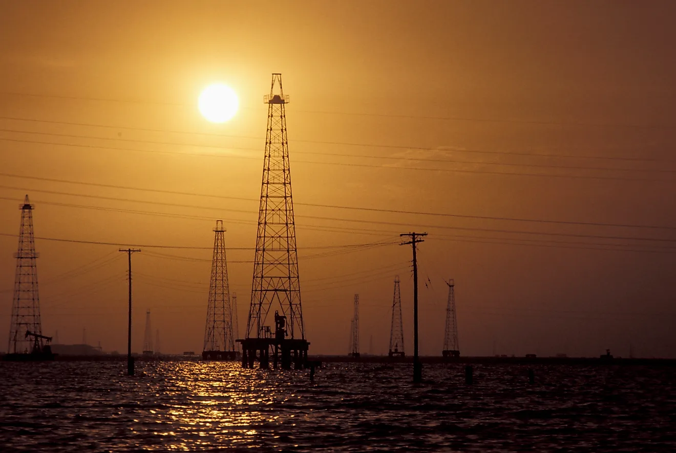
Since 1824, the U.S. Army Corps of Engineers has been managing the waterways for transport and navigation, but by the beginning of the 20th century, the Corps shifted its focus to large-scale flood control projects. During the 1930s, several large, multipurpose dams were constructed consistent with the New Deal goals. The Flood Control Act of 1944 authorized the Pick-Solan Missouri Basin Program for the control and use of the Missouri River Basin’s water resources. As a part of this project, the Garrison Dam – the world’s fifth-largest earthen dam was built on the Missouri River. Completed in 1956, the Garrison Dam is one of the six Missouri River main-stem dams constructed mainly for irrigation, navigation, control of floods, and hydroelectric power generation.

The creation of Lake Sakakawea completely inundated about 152,360 acres of the Fort Berthold Indian Reservation that served for centuries as the home of the members of the Three Affiliated Tribes – Mandan, Hidatsa, and Arikara Nation. The lake’s creation also led to the loss of about 80% of the reservation’s road system, 90% of the tribe’s commercial timber resources, educational and medical facilities, farming lands, significant cultural places, and the agency town of Elbowoods. More than 325 families were also forcibly relocated from their ancestral dwelling places to different upland settlements like New Town, Mandaree, and White Shield.
It is believed that the Hidatsa villages on the Knife River hosted the Lewis and Clark expedition members in 1804. While staying at these villages, Lewis and Clark engaged Toussaint Charboneau – a Canadian trapper, to serve as their guide and interpreter. Charboneau’s wife, Sacagawea (also spelled Sakakawea), was a young native Lemhi Shoshone woman whose knowledge about the unknown land and its people proved invaluable for the Lewis and Clark expedition. Lake Sakakawea was therefore named in her honor. In the winter of 1969, an interceptor aircraft of the U.S. Air Force crashed into the lake’s western portion about 60 miles north of the dam. The plane, which sank below the lake’s frozen surface, was located over 35 years later after an extended search.
Recreation In Lake Sakakawea

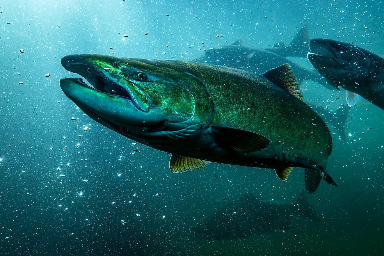
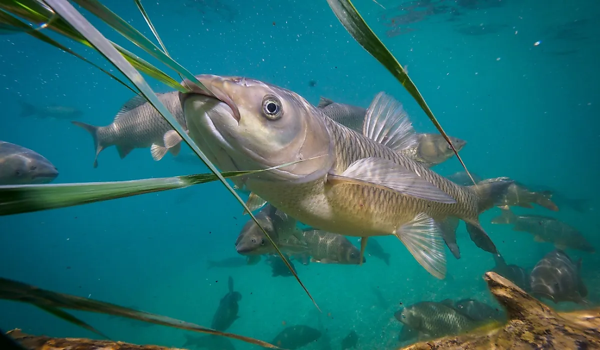
Lake Sakakawea has a longer shoreline than the Pacific coast of California and hosts over 35 recreation sites around its boundaries that offer abundant opportunities for outdoor recreation. With several state parks, full-service marinas, and boat ramps, the Lake Sakakawea region is a wonderland for swimmers, boaters, campers, and anglers. Open to recreational fishing all year round, this premier fishing destination is home to many fish species, such as chinook salmon, northern pike, and walleye.
Lake Sakakawea State Park
Located next to the Garrison Dam, approximately 1 mile north of Pick City, Lake Sakakawea State Park occupies 739 acres on the lake’s southern shore. Besides offering spectacular views, the state park also provides an array of recreational opportunities, such as fishing, swimming, boating, hiking on the trails, and seasonal camping cabins. The park’s full-service marinas and boat ramps offer deep-water access to some of the best salmon fishing areas of the lake. The Lake Sakakawea State Park also houses the western terminal of the North Country National Scenic Trail, which stretches over 4,600 miles from the state park to Vermont.
Fort Stevenson State Park

Situated about 3 miles south of Garrison on the lake’s north shore is Fort Stevenson State Park. The state park has been named after a former fort that served as a supply depot for several other military posts in the Dakota Territory. This park offers some excellent facilities for its visitors, including boat ramp access, boat/RV storage, camping, picnicking, mountain biking/hiking trails, and a Guardhouse Interpretive Center to know more about the history of Fort Stevenson.
Lewis and Clark State Park
This state park is located close to the city of Williston on one of the lake’s upper bays. The park features miles of shoreline that offers picturesque views of rolling hills and towering buttes; a marina with boat ramps; kayak, canoes, and paddleboard renting stations; a swimming beach; and a large campground with seasonal camping cabins. The park is also home to large native mixed-grass prairies, where visitors can get acquainted with the park’s natural communities by hiking a self-guided nature trail.
Lake Sakakawea is a popular regional recreation destination attracting thousands of visitors annually. With beautiful scenery, public recreation areas, state parks, and wildlife management areas, there is something here for every outdoor enthusiast. If you want to spend a wonderful time with your loved ones, this water wonderland is a must-visit.