The Largest Lakes East Of The Mississippi River
Lake Superior covers 31,700 square miles of water. That makes a single lake roughly the size of South Carolina. Four more of the Great Lakes follow close behind on the same scale. Every one of them sits east of the Mississippi River. So do several southern and eastern lakes that rarely share their reputation. This ranking measures all ten by surface area.
1. Lake Superior - 31,700 Square Miles

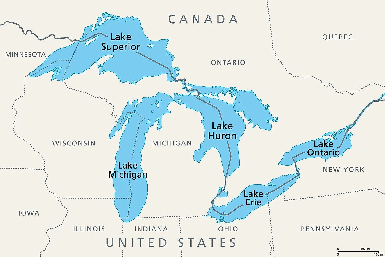
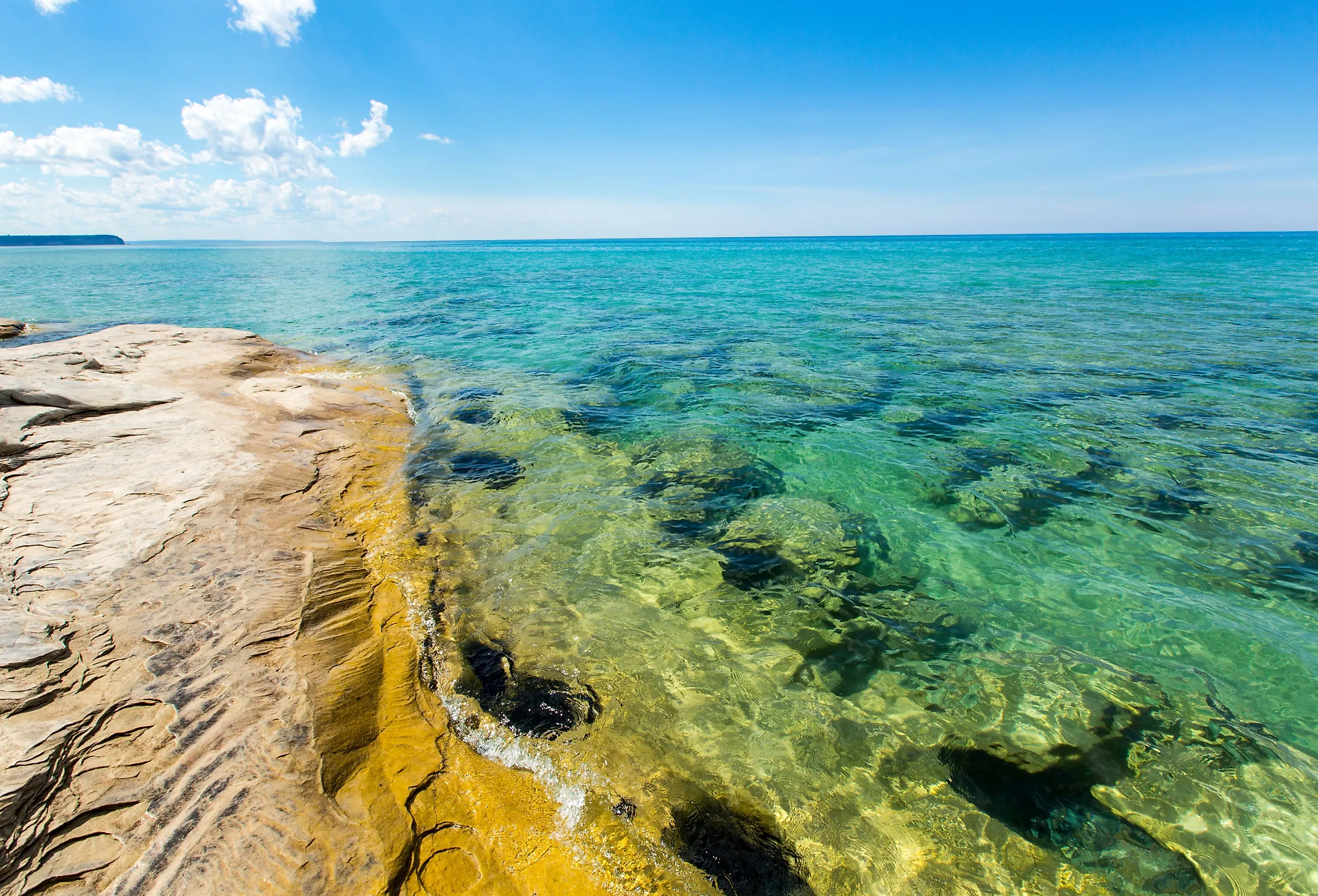
Lake Superior operates on a scale unmatched by any other lake in the region. Its 31,700-square-mile surface makes it the largest of the Great Lakes, while its maximum depth reaches 1,332 feet. More striking is its approximately 2,900 cubic miles of water, giving it greater volume than the other individual Great Lakes. Water remains in Superior for an estimated 191 years before leaving, so changes within the lake can persist for generations. The surrounding basin is comparatively sparsely populated and heavily forested, limiting some forms of agricultural and urban runoff. Its cold temperatures, great depth, and enormous storage capacity distinguish Superior from the shallower lakes farther south.
2. Lake Huron - 23,000 Square Miles

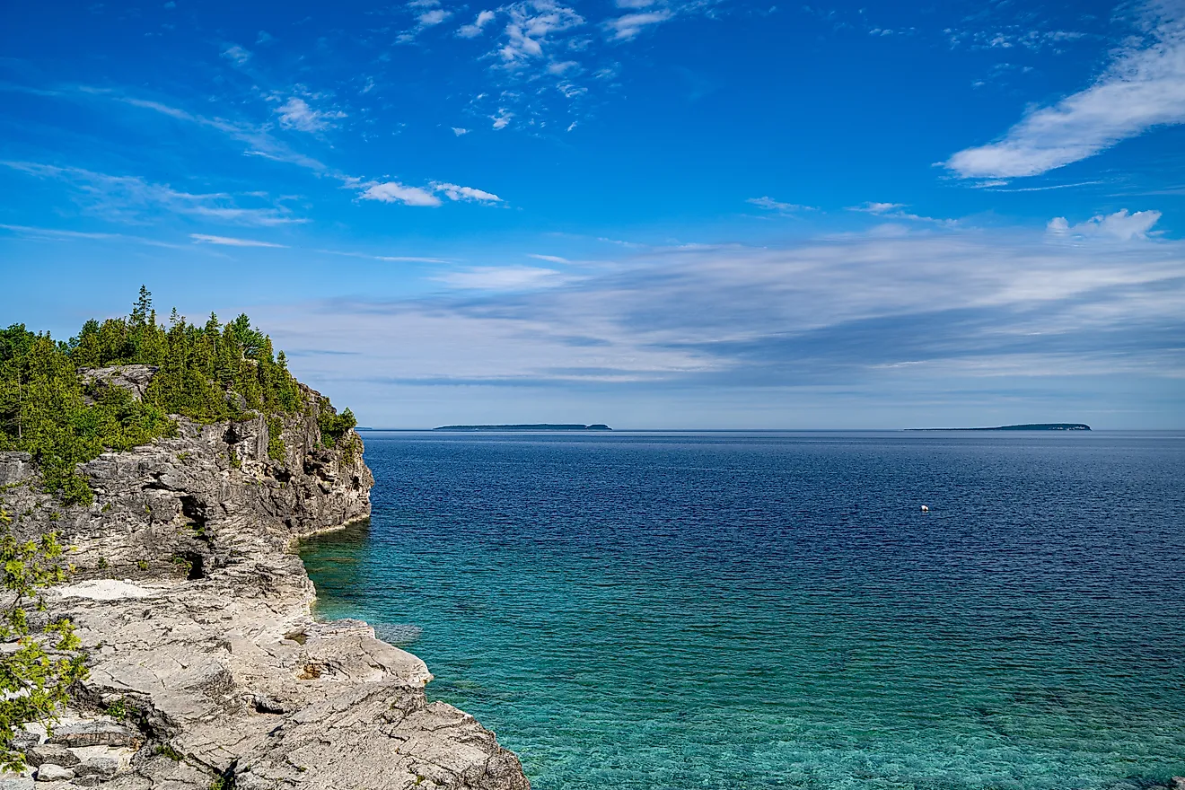
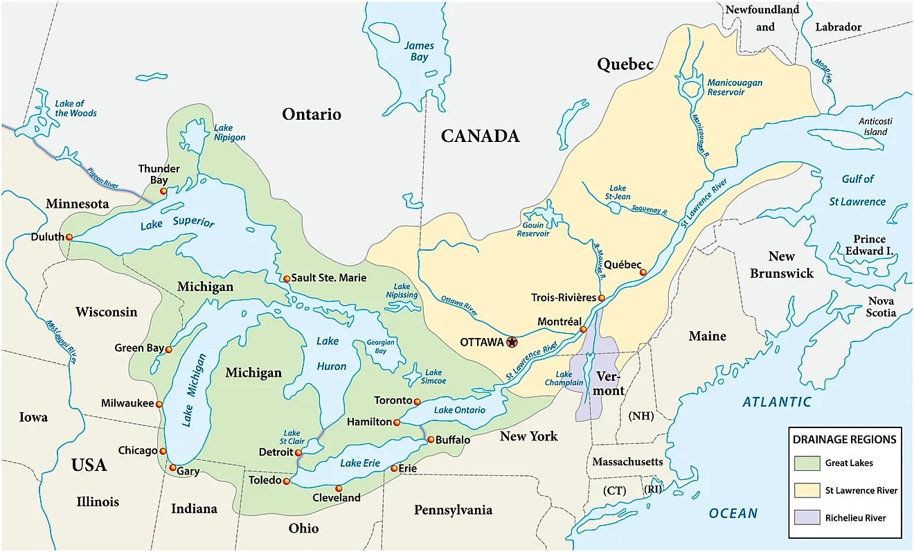
Lake Huron is less a simple open basin than a complicated landscape of open water, bays, channels, islands, and peninsulas. Covering approximately 23,000 square miles, it ranks second on this list by surface area. Georgian Bay creates an enormous northeastern extension, while Saginaw Bay forms a broad, shallower basin on the Michigan side. The lake averages about 195 feet deep and reaches 750 feet at its deepest point. The EPA identifies Huron as having the longest shoreline among the Great Lakes, reflecting its irregular geography. That complex shoreline supports everything from productive fisheries in Saginaw Bay to rocky coastal environments and extensive recreational areas.
3. Lake Michigan - 22,300 Square Miles

Lake Michigan is geographically unusual because it is the only Great Lake located entirely within the United States. Its 22,300 square miles of water separate four states and span sharply different environments. The northern basin lies within a colder, more heavily forested region with relatively low population density. Farther south, the shoreline enters one of the most intensively urbanized portions of the Great Lakes basin, including Milwaukee and Chicago. The lake averages 279 feet deep and descends to 925 feet. This north-south contrast makes Lake Michigan especially important for studying how the same large water body responds to different levels of urbanization, industry, recreation, and watershed development.
4. Lake Erie - 9,910 Square Miles

Lake Erie demonstrates why surface area does not necessarily correspond to water volume. Although it covers 9,910 square miles, its average depth is only 62 feet, making it the shallowest Great Lake. Its western basin averages just 24 feet deep. Shallow water warms rapidly, contributing to Erie being the warmest and most biologically productive of the Great Lakes. Water also moves through it comparatively quickly, with a retention time of about 2.6 years. These characteristics make Erie highly responsive to environmental pressures. Nutrient-rich agricultural and urban runoff can stimulate excessive algal growth, while decomposition can reduce dissolved oxygen in deeper areas during seasonal stratification.
5. Lake Ontario - 7,340 Square Miles

Lake Ontario occupies the downstream end of the Great Lakes chain, making its position more scientifically significant than its fifth-place ranking suggests. It receives water that has already passed through Superior, Michigan-Huron, and Erie before ultimately draining toward the St. Lawrence River. Consequently, environmental conditions upstream can influence Ontario as well as processes within its own watershed. The lake covers 7,340 square miles but is relatively deep, averaging 283 feet and reaching approximately 802 feet. Its two shores also differ considerably in development. Major Canadian urban and industrial centers lie around the western lake, while much of the United States shoreline is less densely urbanized.
6. Lake Okeechobee - 730 Square Miles

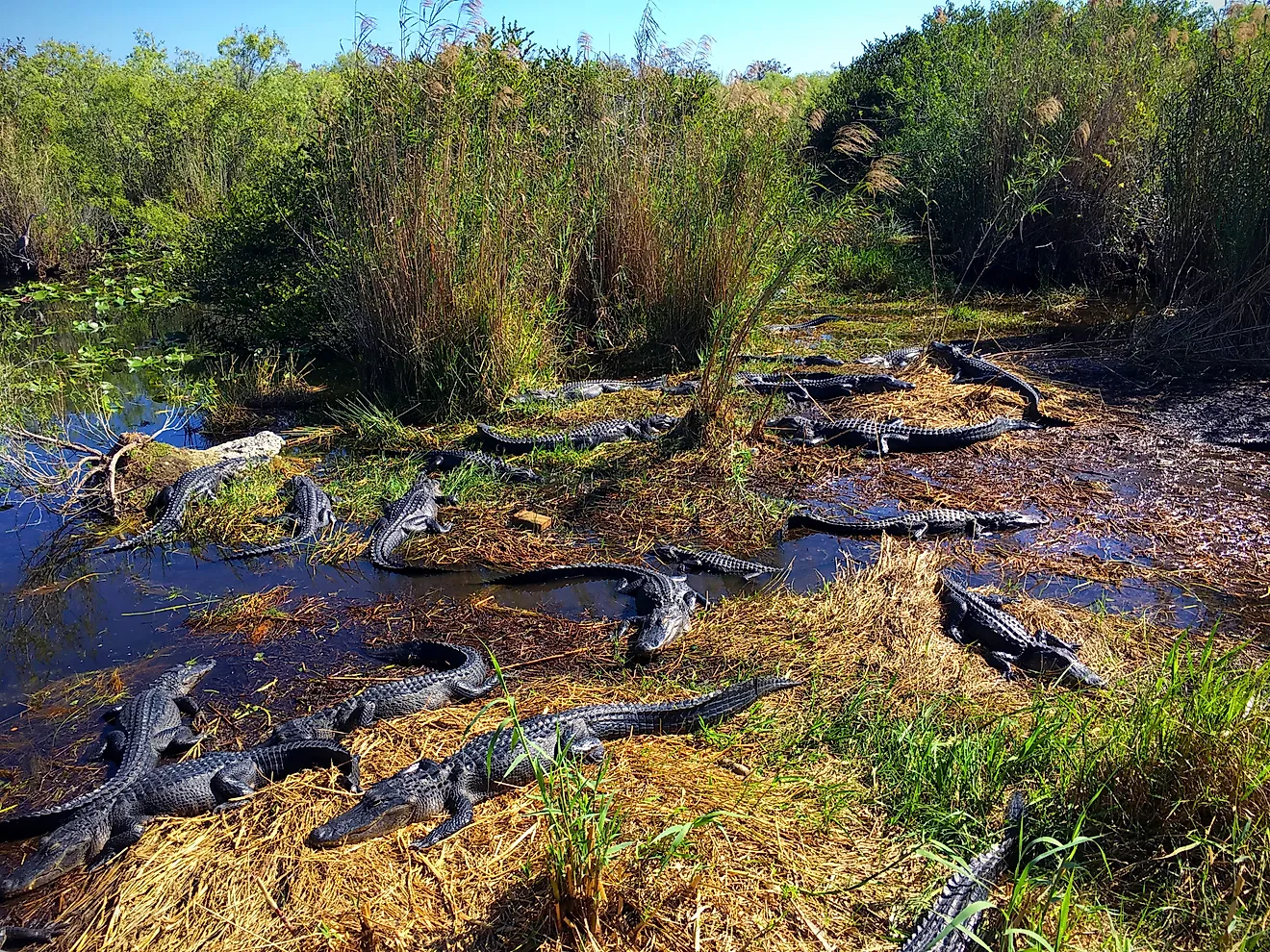
Lake Okeechobee is enormous horizontally but remarkably small vertically. Florida's great inland lake covers about 730 square miles, yet its average depth is only around nine feet. That shallow form makes water levels, wind, nutrient inputs, and vegetation particularly important to its ecology. Okeechobee also occupies a central position in the Greater Everglades watershed, linking the Kissimmee River system in the north with wetlands and managed waterways extending southward. Today, the lake simultaneously functions as wildlife habitat, a fishing resource, a water-supply component, and part of South Florida's flood-control system. Managing those competing roles has become one of the central challenges of Everglades restoration.
7. Lake Pontchartrain - 630 Square Miles

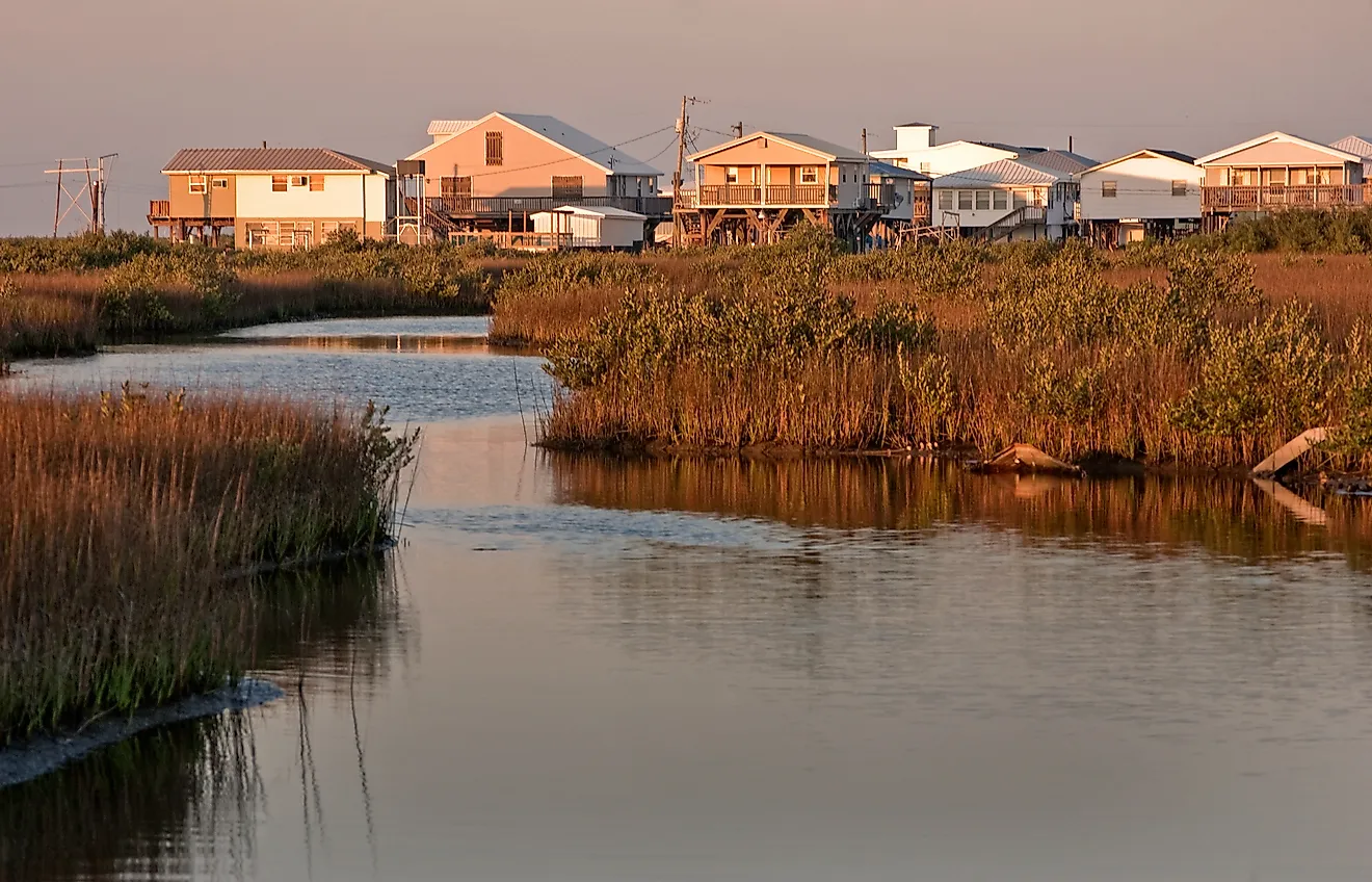
Calling Lake Pontchartrain a lake conceals its most important characteristic. It is actually a large estuary. The 630-square-mile water body receives freshwater from several rivers and bayous while also exchanging saltwater with the Gulf of Mexico through the Rigolets and Chef Menteur Passes. The result is brackish water whose salinity changes considerably across space and time. Recorded salinity ranges from nearly fresh in winter to well into brackish conditions near the Gulf connections in late summer. This mixing of marine and freshwater influences creates a fundamentally different ecological environment from the inland freshwater lakes higher on the list, despite Pontchartrain's conventional geographic name.
8. Lake Champlain - 435 Square Miles

Lake Champlain occupies a long international watershed between New York, Vermont, and Quebec. Its open-water surface covers about 435 square miles, excluding the area occupied by more than 50 islands. That lake is supported by a much larger drainage basin of approximately 8,234 square miles, meaning events well beyond the immediate shoreline can affect its water quality. About 56 percent of the watershed lies in Vermont, 37 percent in New York, and 7 percent in Quebec. Champlain also changes substantially from one section to another rather than behaving as a uniform basin. Researchers commonly divide it into five regions with distinct physical characteristics and environmental conditions.
9. Lake St. Clair - 430 Square Miles

Lake St. Clair is only slightly smaller in surface area than Lake Champlain, yet physically it resembles an enormous widening in the Great Lakes drainage system. Water arriving from Lake Huron travels through the St. Clair River, crosses the lake, and continues through the Detroit River toward Lake Erie. Its 430-square-mile surface masks an exceptionally shallow basin averaging only about 11 feet deep. This combination of large area and limited depth makes St. Clair unlike the deep Great Lakes surrounding it. Wetlands associated with the lake and St. Clair River provide important habitat for fish, amphibians, reptiles, and migratory birds, while the lake itself supports a major recreational fishery.
10. Kentucky Lake - About 250 Square Miles

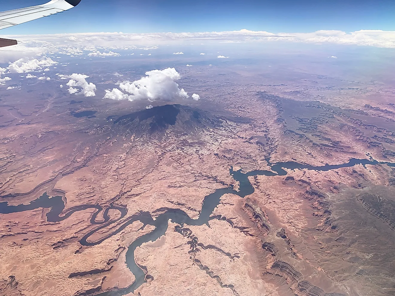
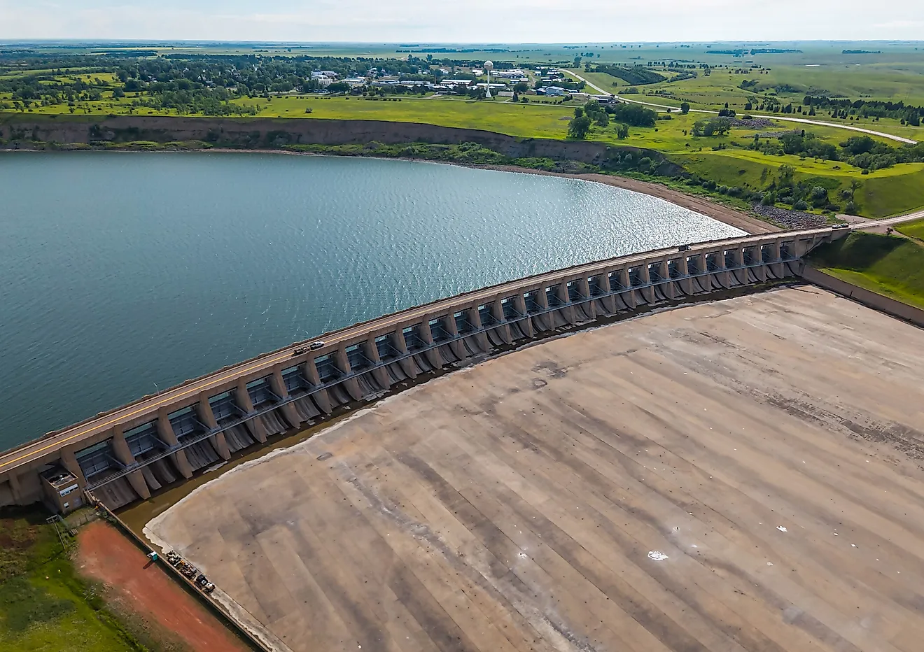
Kentucky Lake differs from every natural water body above it because its size was deliberately created. The Tennessee Valley Authority formed the reservoir by constructing Kentucky Dam across the Tennessee River, with construction beginning in 1938 and finishing in 1944. Today, the reservoir covers approximately 160,300 acres, or about 250 square miles, and has more than 2,000 miles of cove-filled shoreline. Its purpose extends far beyond recreation. Kentucky Dam generates hydroelectric power, while the reservoir provides navigation depth and enormous flood-storage capacity. TVA states that the system helps reduce flood damage along millions of acres in the lower Ohio and Mississippi river regions.
The Takeaway
The largest lakes east of the Mississippi River cannot be understood through surface area alone. The Great Lakes dominate the ranking because of the glacial geology that created their immense basins, but the smaller entries reveal equally important hydrological contrasts. Okeechobee shows how a lake can be vast yet extremely shallow. Pontchartrain demonstrates the blurred boundary between lakes and coastal estuaries. St. Clair functions as a critical connector within a much larger freshwater system. Kentucky Lake illustrates how engineering can create a water body on a regional scale. For scientific comparisons, surface area therefore provides a useful ranking metric, but depth, volume, water residence time, watershed size, and hydrological function provide the fuller picture.