The Great Lakes Ranked By Average Wave Height
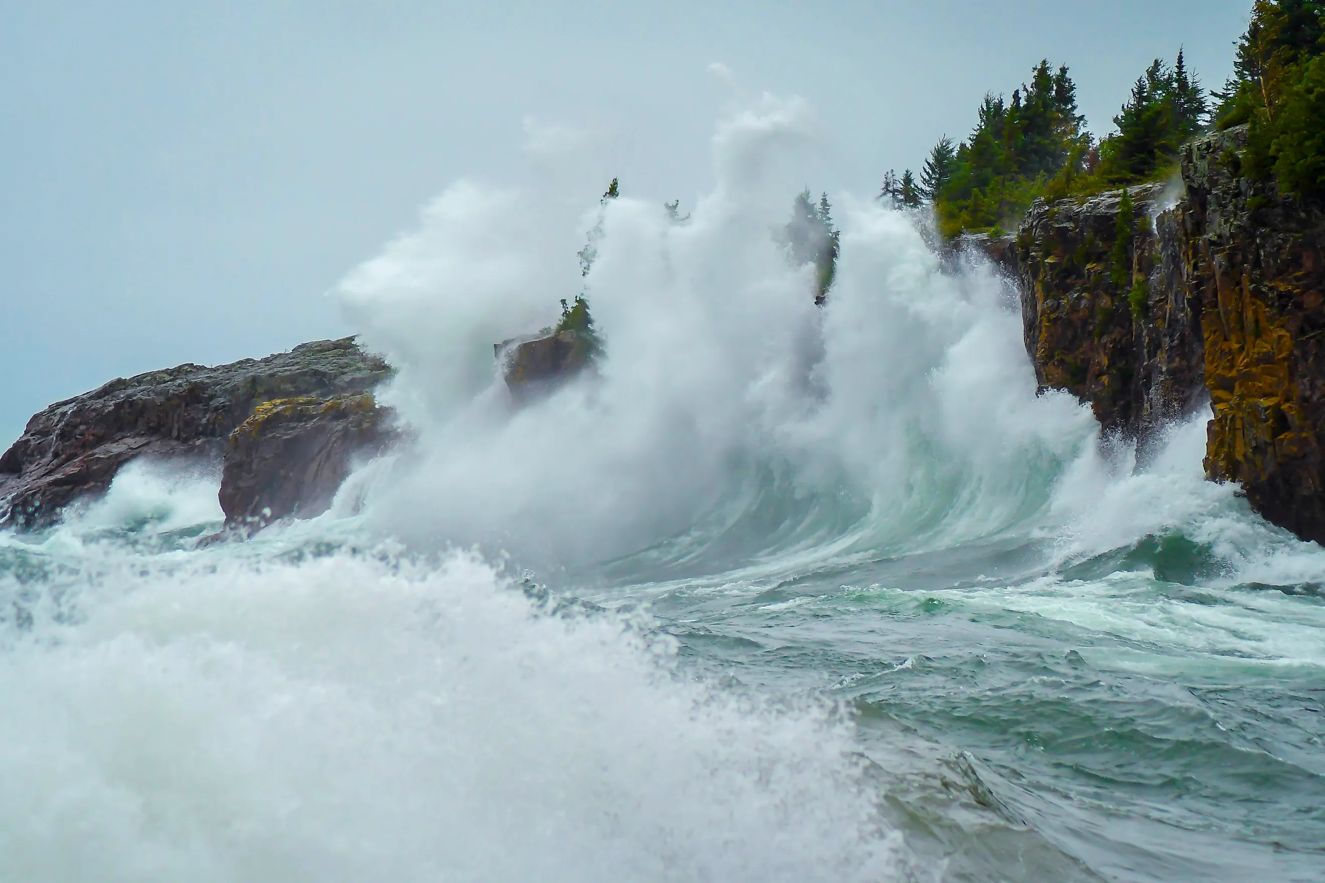
With a combined surface area of more than 90,000 square miles (240,000 square kilometers), the five Great Lakes of North America are large enough to develop substantial waves, especially during powerful autumn and winter storms. Under normal weather conditions, all five lakes usually have waves in the range of 0-5 feet (0-1.5 meters). While average overall wave heights are not readily available, historical evidence and maximum wave height records point to the deepest lake (Lake Superior) having the tallest average waves, the shallowest lake (Lake Erie) having the lowest, and the other three lakes falling in the middle.
1. Lake Superior

Lake Superior ranks first for Great Lakes wave height thanks to its unmatched combination of size and depth. It is both the largest and deepest of the Great Lakes, reaching depths of more than 1,300 feet (400 meters). Its enormous surface area allows winds to travel across exceptionally long fetches, producing large, long-period waves that can continue building for hours.
Lake Superior has also produced the highest significant wave ever recorded on the Great Lakes: 28.8 feet (8.8 meters), measured by buoys near Granite Island and Munising, Michigan, on October 24, 2017. Because this figure represents the average of the largest one-third of waves, individual waves during the storm likely reached into the 30-to-40-foot (9 to 12 meter) range. These conditions highlight why Lake Superior has earned a reputation as the most formidable of the Great Lakes.
2. Lake Ontario

Although Lake Ontario is the smallest of the Great Lakes by surface area, it ranks high in wave height because it rates second in average water depth. Its basin reaches depths exceeding 800 feet (244 meters), allowing waves to maintain much of their energy during major storms. During strong late-autumn and winter gales, significant wave heights on the lake's eastern end regularly build into the mid-to-high teens, and National Weather Service forecasts during major storms call for waves occasionally around 20 feet (6 meters). Strong winter storms moving across eastern Canada frequently align with the lake's long axis, enabling waves to grow rapidly before reaching the shoreline.
3. Lake Huron

Lake Huron occupies the middle position of the wave height rankings. Its vast open waters, particularly across the central basin and Georgian Bay, provide long fetches capable of generating substantial waves during autumn and winter storms. A significant wave height of 23 feet (7 meters) was recorded by a Canadian buoy on October 30, 2012, as the remnants of Hurricane Sandy crossed the lakes. While Huron does not consistently produce waves as large as Superior, its broad expanse and exposure to strong northwest winds frequently create hazardous marine conditions.
4. Lake Michigan

Lake Michigan closely resembles Lake Huron in size and depth, but its somewhat narrower shape generally limits fetch during many storm events. Even so, the lake regularly develops large waves, especially when strong northerly winds travel the length of its 307-mile (494-kilometer) basin. The lake's southern mid-lake buoy measured significant waves reaching 23 feet (7 meters) during a late September 2011 storm, the highest on the lake since buoy records began in 1981. Large autumn systems crossing the Upper Midwest often produce dangerous surf along Michigan's eastern shoreline, where waves can cause extensive beach erosion and hazardous swimming conditions.
5. Lake Erie

Lake Erie ranks last in wave height because it is by far the shallowest of the Great Lakes, with an average depth of only about 62 feet (19 meters). During the same October 2012 storm that battered Lake Huron, buoys on Lake Erie measured significant waves of about 14 feet (4.3 meters). Despite producing the lowest average waves overall, Lake Erie should not be underestimated. Its shallow depth creates short, steep waves that develop rapidly and can be especially dangerous for small boats. Mariners often describe Lake Erie as one of the most uncomfortable lakes to navigate during storms because the closely spaced waves create a rough, choppy ride.
What Causes Great Lakes Waves?
Unlike ocean waves, Great Lakes waves are generated almost entirely by wind rather than tides. Although the gravitational pull of the Moon and Sun create small tides on the lakes, they measure less than 2 inches (5 centimeters) and have little effect on wave formation. Instead, wave size depends primarily on wind speed, how long the wind blows, and fetch, the uninterrupted distance the wind travels across open water.
Under normal conditions, waves on all five lakes generally stay below about 5 feet (1.5 meters). The largest waves develop during powerful autumn and winter storms, when strong winds blow across long stretches of open water. Lake Superior's vast size and great depth allow it to produce the tallest waves, while Lake Erie's shallow basin limits wave growth, even during severe weather.
How Are Waves Measured?
Wave measurements come from dozens of weather buoys and coastal stations throughout the Great Lakes, which have recorded wave heights, wind speed, and other conditions since 1979. These observations are combined with computer models to produce marine forecasts used by commercial shipping, recreational boaters, and weather agencies. Long-term buoy records also help researchers identify trends in Great Lakes wave activity over time.
Meteorologists typically report significant wave height, which is the average height of the highest one-third of waves observed over a given period. This standard provides a realistic representation of overall sea conditions, even though individual waves during a storm can be nearly twice as tall. So, while Lake Superior's record significant wave height stands at 28.8 feet (8.8 meters), individual waves during that storm were likely well over 30 feet (9 meters).
Waves That Command Respect
The vast Great Lakes possess the wave power of true inland seas. Wind, fetch, and water depth combine to produce waves capable of reaching heights more commonly associated with sea coasts, particularly during the colder months. Among the five lakes, Lake Superior consistently creates the tallest waves, while Lake Erie generally experiences the smallest because of its shallow basin. The remaining lakes fall between these extremes, each capable of generating hazardous conditions when strong storms develop. Understanding how Great Lakes waves form and how they are measured helps explain why these vast waters continue to command the respect of sailors, scientists, and shoreline communities alike.


