What Lies At The Bottom Of Crater Lake
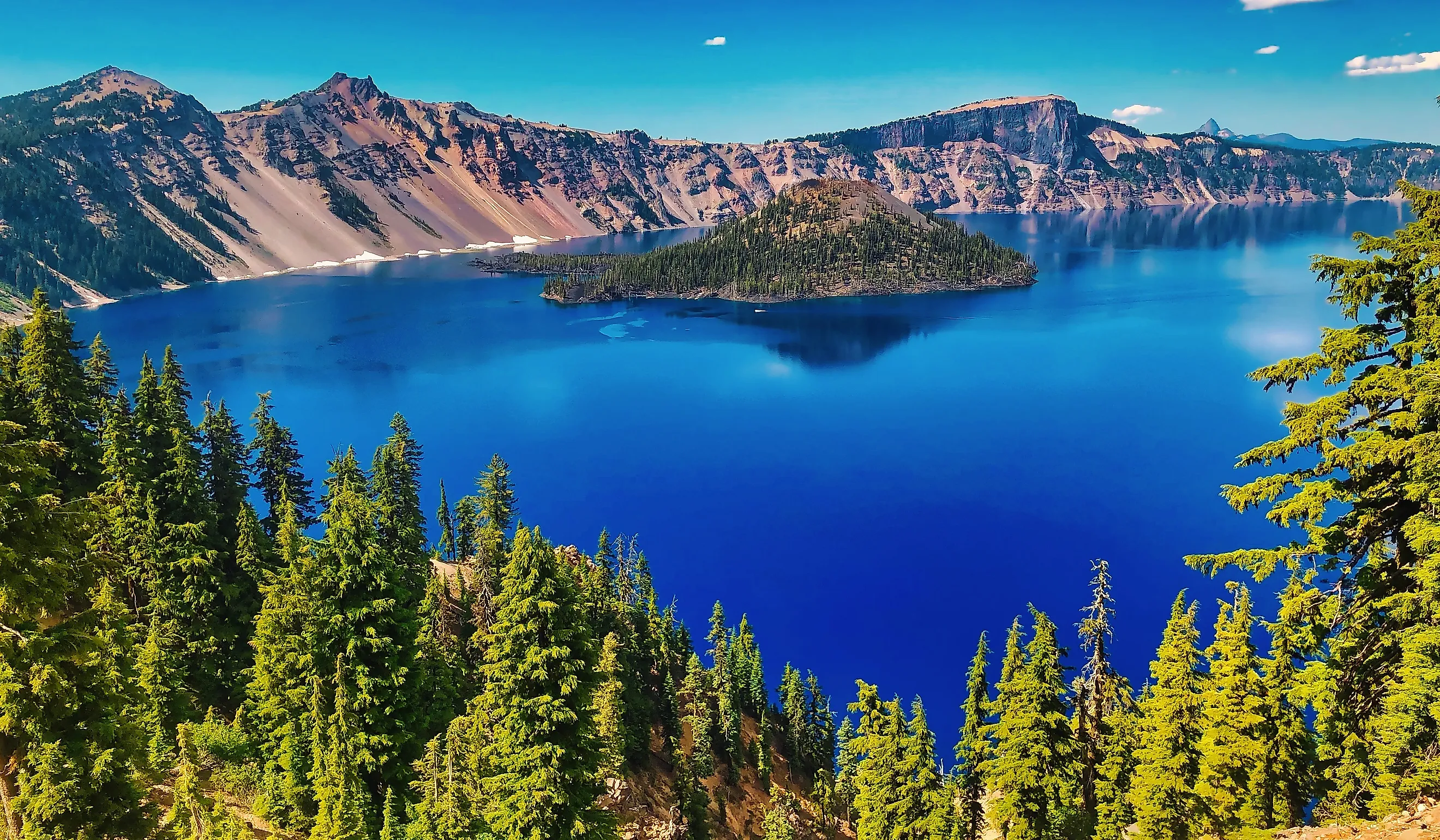
Crater Lake in Oregon is the deepest lake in the United States and the ninth deepest in the world. Its floor is a volcanic landscape that almost nobody has seen. Two submerged cones rise off the bottom, a debris field spills across it from a collapsed caldera wall, sheets of old lava cover the middle of the basin, and hot springs feed bacteria that live without sunlight. The lake fills the caldera of Mount Mazama, has no inlet or outlet streams, and reaches a maximum depth of 1,949 feet.
Scientists have been measuring those depths for more than a century. Clarence Dutton of the United States Geological Survey led the first expedition in 1886, and his team made 168 soundings from a rowboat with a lead weight and piano wire, reporting a maximum depth of 1,996 feet. The US Coast and Geodetic Survey improved on that in 1959 with more than 4,000 echo soundings, and a multibeam sonar survey in 2000 collected roughly 16 million soundings to produce the modern figure and the first detailed map of the lake bottom. Every feature described below was mapped by that survey or observed directly during submersible dives in 1988 and 1989.
The Volcanic Origins And The Volcanic Cone

About 7,700 years ago, a volcano stood where Crater Lake now lies. Mount Mazama reached an approximate 12,000 feet before it ejected roughly 12 cubic miles of magma as pumice and ash in an eruption that lasted only a few days. Emptied of that much material, the mountain collapsed into its own magma chamber, dropping the summit and the surrounding walls inward. Deep depressions formed this way are known as calderas, and the resulting basin measures about 5 miles across and roughly 4,000 feet deep between the rim and the caldera floor. The Mazama eruption remains one of the largest volcanic events in North America over the last 10,000 years, and it marks the beginning of how Crater Lake was formed.

Over an estimated 250 to 700 years, the caldera filled with snowmelt and rain. No river feeds it, and none drains it; evaporation and seepage through porous volcanic rock hold the level steady. Volcanic activity resumed inside the caldera almost immediately after the collapse, which is why the lake sits over a volcano that is dormant rather than extinct. The clearest evidence is Merriam Cone, a steep pile of lava and cinder built by a vent in the northern part of the caldera, just south of present-day Cleetwood Cove. It rises about 1,400 feet off the lake floor and stops roughly 486 feet short of the surface, so it is invisible from any overlook on the rim. The erupting cone probably never broke into open air at all.
The Chaski Bay Landslide

The Chaski Bay landslide is a mass of fractured rock with a minimum volume of about 3.3 billion cubic feet, spilling down the southern caldera wall and running out across the lake floor toward the center of the basin. A prominent bench below Garfield Peak, just east of Crater Lake Lodge, is the surviving block of the failed wall. Similar down-dropped blocks measure up to 656 feet across. The slide came roughly 7,500 years ago, about 200 years after the caldera collapsed. That timing matters: the basin had not yet filled, so the debris traveled over dry ground rather than through a deep lake. Its deposit now separates the southwest basin from the east basin, and warm water vents along its western margin support some of the bacterial mats described below. Smaller landslide deposits lie west of Eagle Point and in Danger Bay, with more scattered across the east basin. Chaski Bay is the largest of them. Collectively, wall failures like this one account for nearly half the width of the Crater Lake depression and give the caldera its scalloped outline.
Lava Plains

Flat, sediment-covered lava plains stretch beyond the landslide deposits, marking the extent of post-caldera flows across the basin floor. The largest of these is the central platform, a broad mound of lava that erupted near the middle of the caldera while the basin was still dry, then disappeared under the rising water. A crater on the platform's western edge fed lava tubes and channels that carried molten rock well out onto the surrounding floor, and those channels are still visible in the sonar imagery. Active geothermal vents persist across the plains, creating pockets of warmer water and confirming that heat still moves up from below. Around some of them stand high silica spires, subaqueous thermal-spring deposits built by chimney-like fluid flow over thousands of years. These features carry legal weight as well as scientific interest: the Geothermal Steam Act of 1970, as amended in 1988, designates Crater Lake a significant thermal feature.
The Base Of Wizard Island
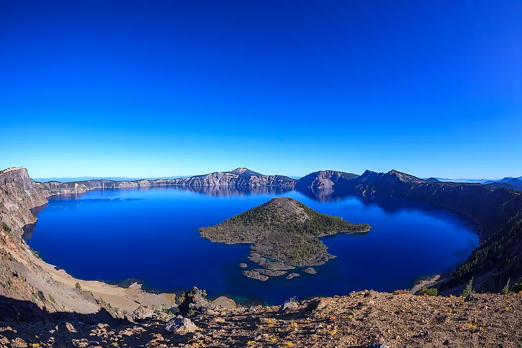
After the caldera collapsed and began taking on rain and snowmelt, renewed eruptions built a cinder cone fast enough to outpace the rising water. That cone is Wizard Island. Its summit stands about 760 feet above the lake at an elevation of 6,933 feet. A crater roughly 500 feet wide caps it, named the Witches Cauldron by William Gladstone Steel in 1885. What visitors see is a small fraction of the whole. Only about 2 percent of the volcano sits above water; the rest of it, including the base, rests on the caldera floor. All of that cone-building happened within about 750 years of the climactic eruption, and the last surface eruptions occurred when the lake stood some 260 feet lower than today. The final act came around 4,800 years ago, when a small lava dome erupted underwater on the east flank of the island's base. That dome is the most recent known eruption anywhere at Crater Lake, and it lies at the bottom of the lake.
Aquatic Life

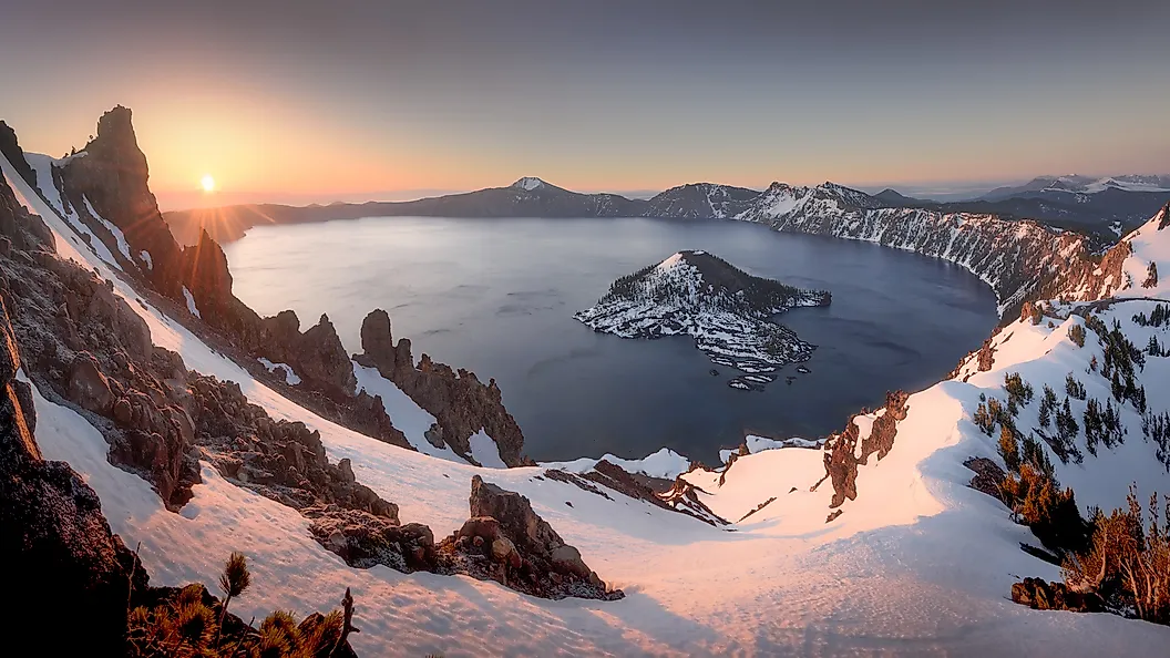
Unlike other lakes in the Cascade Range, Crater Lake almost never freezes over. Its enormous volume relative to a modest surface area stores heat through the winter, and the last complete freeze came in 1949, when ice two to twelve inches thick held for about three months. Those conditions produced an unusual deep-water ecology. Piloting the submersible Deep Rover in 1988 and 1989, Oregon State University researchers found colonies of yellow-gold bacteria growing in thick benthic mats on the lake floor. The dominant iron oxidizers are Gallionella and Mariprofundus. Sulfur oxidizers such as Sulfuricurvum and Thiobacillus grow alongside them. All of them draw energy from chemicals rather than sunlight, which is what lets them live in total darkness. The iron and sulfur arrive with fluid seeping up through the sediments.
One such hydrothermal field in the south-central basin is known as Llao's Bath, named for the Klamath chief of the Below World, and a second cluster of pools sits near Palisades Point in the northeast basin. Probes pushed into the mats have registered temperatures as high as 68 degrees Fahrenheit against surrounding water closer to 38 degrees Fahrenheit, strong evidence that the magma chamber beneath Mount Mazama still shapes the lake's chemistry. The mats, in turn, sustain worms, insects, and minute crustaceans that tolerate the pressure at those depths.
Crater Lake's Mystique
Much of the lake's reputation rests on what the water does with light. The color is a deep, saturated blue, and the clarity behind it can be measured. Secchi disk readings typically land between 100 and 120 feet. A record reading of 143 feet in June 1997 remains among the deepest ever logged in any lake. Visible from the surface is the Old Man of the Lake, a mountain hemlock log roughly 30 feet long that floats upright with about 3 feet showing above the water. Carbon dating puts it beyond 450 years old, and geologist Joseph Diller documented it in 1896, so it has been drifting there for at least 130 years.
It does not stay put. A 1938 study by park naturalist John Doerr tracked it 62.1 miles between July and October, averaging two-thirds of a mile a day and covering 3.8 miles on August 6 alone. Cold water and an uneven distribution of waterlogging explain the log's balance and its resistance to rot, though nobody has explained how it arrived. Park lore credits it with controlling the weather. When researchers tied it off near Wizard Island in 1988 to keep it clear of their submersible, storms moved in, August snow followed, and the launches stayed grounded until they let it loose.
Unfinished Business
Every feature on the lake floor records the same process at a different stage, and the process has not stopped. The USGS notes that the long eruptive history of Mount Mazama points to future activity at this volcanic center, most likely inside the caldera and probably below the waterline, where a lava dome last broke through 4,800 years ago. That would put the next eruption in the same place as the last one: at the bottom of the lake, hidden under 1,949 feet of water that took several centuries to accumulate. In the meantime, the sediments keep thickening, the vents keep feeding the bacterial mats, and the deepest lake in the country goes on burying its own evidence.