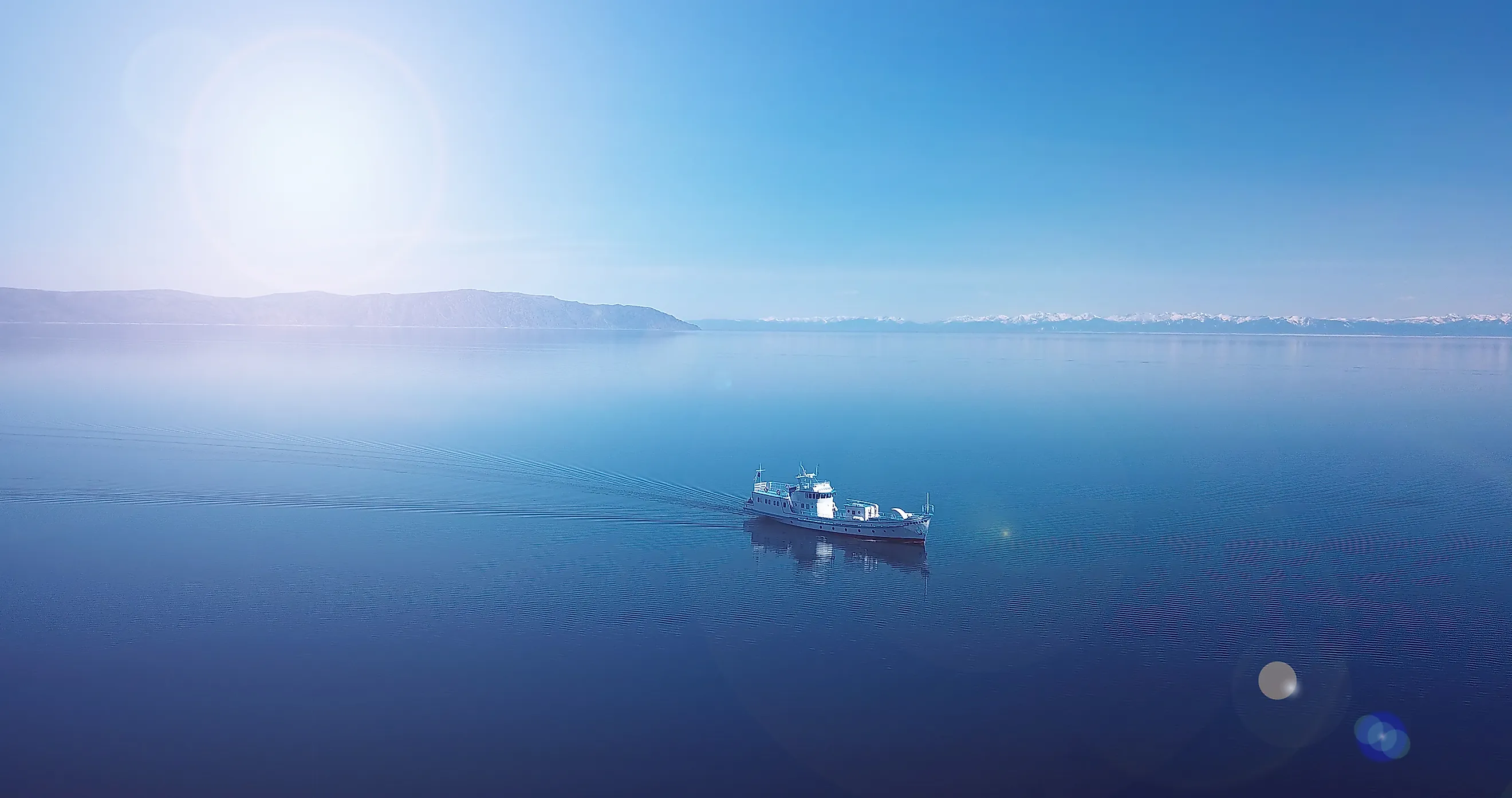
How Lake Baikal Holds More Water Than All The Great Lakes Combined
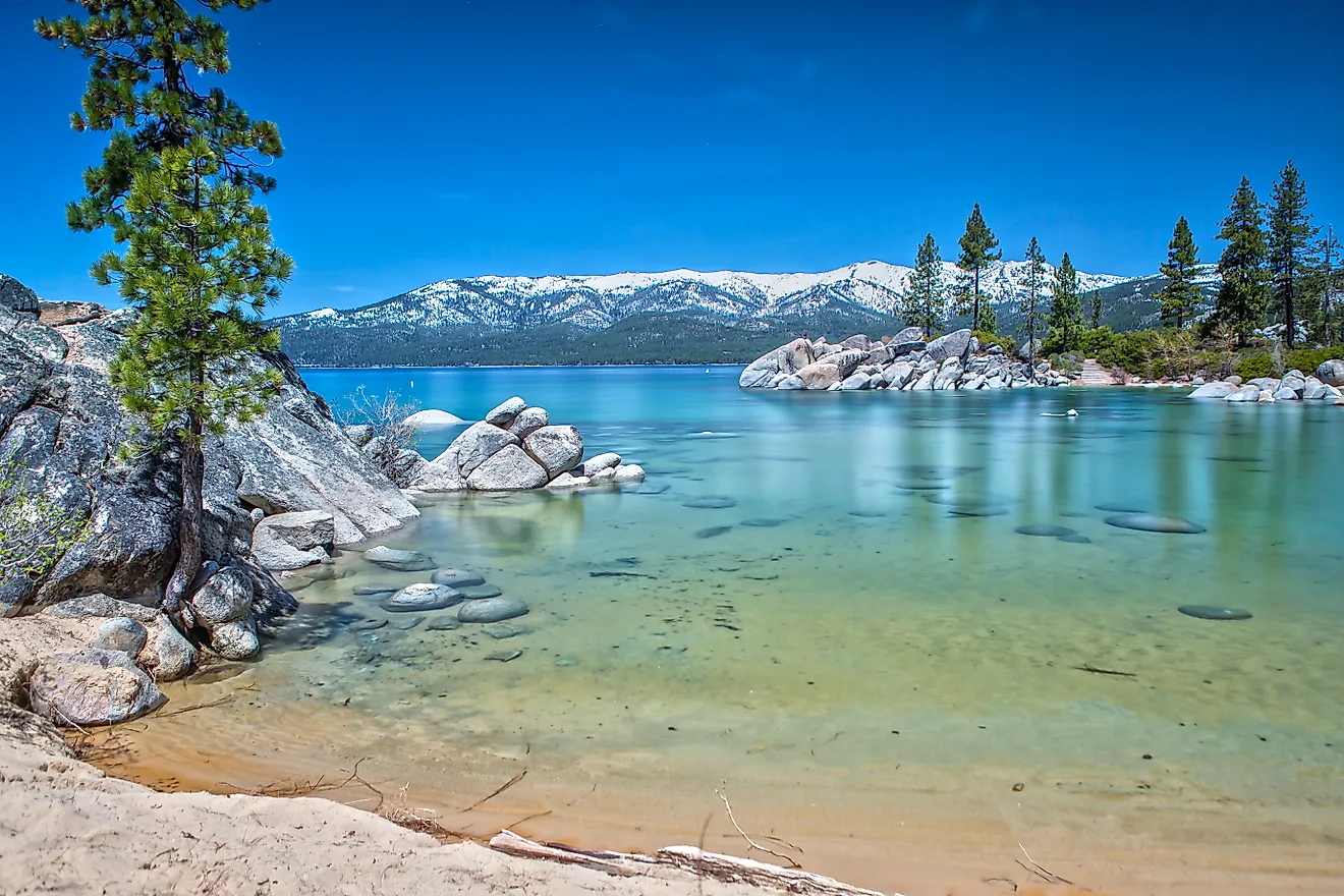
Look at a map, and Lake Baikal seems almost modest. It curves like a thin blue sliver through southern Siberia. Lay it beside the five North American Great Lakes, and it looks overmatched. Yet this one Siberian lake holds slightly more fresh water than all five combined. It manages that inside a footprint smaller than Lake Superior alone. The whole surprise lives in a direction the map cannot show you, which is straight down: its depth.
The Claim, In Plain Numbers

Lake Baikal contains roughly 5,500 cubic miles (23,000 cubic kilometers) of water. The U.S. Geological Survey pegs that at about a fifth of all the unfrozen fresh surface water on Earth. Line up Superior, Michigan, Huron, Erie, and Ontario, and their combined 5,440 cubic miles (22,700 cubic kilometers) still comes up a hair short. It is close. It is also real, and it holds across every standard measurement.

Splitting up the Great Lakes total makes the result easier to feel. Superior does most of the heavy lifting at around 2,900 cubic miles (12,100 cubic kilometers), a bit over half the group by itself. Michigan and Huron bring roughly 1,180 and 850 cubic miles (4,900 and 3,500 cubic kilometers). Ontario adds about 390 cubic miles (1,640 cubic kilometers), and shallow Erie chips in only 116 (484). Stack all five, and one Siberian trench still edges the pile.
Here is the part that refuses to sit right. Baikal covers about 12,250 square miles (31,700 square kilometers), only the seventh-largest lake surface on the planet and smaller than Superior on its own. The Great Lakes sprawl across roughly 94,000 square miles (244,000 square kilometers) between them. Fly over both and you would bet everything on the Great Lakes holding more water. The map is telling you the truth about area and lying to you about volume.
Depth Does All The Work

Everything the map hides is vertical. Baikal is the deepest lake in the world, dropping to about 5,387 feet (1,642 meters) at its lowest point. That is more than a mile of water beneath a single spot on the surface. Superior, the deepest of the Great Lakes, bottoms out near 1,333 feet (406 meters). Baikal runs about four times deeper, and since a lake's volume is basically its area times its average depth, that one advantage swallows the size gap whole.
The gap holds even away from the extremes. Baikal averages roughly 2,440 feet (744 meters) deep across its whole basin, meaning an ordinary spot on the lake sits deeper than the deepest point of any Great Lake. Try picturing it this way. Stand the Empire State Building on the floor of Baikal's deepest basin, antenna and all, and close to 4,000 feet of water would close over the tip. A lake the size of Superior can outhold five lakes when it reaches down that far.
The Great Lakes took the opposite shape. Ice sheets ground across North America, then melted back, and what they left behind were wide, flat basins that spread their water in a broad, shallow sheet. Baikal did none of that. It packs a staggering volume into a narrow gash in the crust that plunges far below the surrounding land. Breadth is the Great Lakes' whole game. Depth is Baikal's, and depth wins.
A Crack Where A Continent Is Splitting

That gash exists because Baikal sits astride an active continental rift, one of the rare places on land where the crust is slowly tearing itself in two. The two walls of the Baikal Rift Zone pull apart by about 0.8 inches (2 centimeters) every year. As they separate, the floor between them sinks and the basin drops deeper. Most lakes are dying from the moment they form, filling with river sediment until they turn to marsh. Baikal keeps opening new room faster than the mud can bury it.
The same rifting built the rest of the scene. Mountains wall the shoreline, some standing more than 6,600 feet (2,000 meters) above the water, and they funnel the runoff of a huge slice of southern Siberia into the basin. More than 330 rivers and streams feed the lake. The biggest, the Selenga, arrives from Mongolia and delivers around half of everything that flows in. All of it drains out through a single narrow exit, the Angara River, which slips off the southwestern end and carries the overflow toward the Arctic.
One deep basin and one thin outlet add up to water that stays put. A drop entering near the surface takes an estimated 330 years to make its way through the lake and out the Angara. That patience is part of why Baikal holds such a steady, enormous store instead of flushing it downstream. The rift keeps rumbling, earthquakes are routine, and the basin is still sinking. Baikal is watching the opening act of a process that, given tens of millions of years, can crack a continent apart and float an ocean into the gap.
The Oldest Lake There Has Ever Been

Time is the other half of the answer. Most lakes are fleeting things, gone to sediment or drained away inside a few thousand years. Baikal has held on for an estimated 25 million years, the oldest lake anywhere, which has given it an almost unimaginable stretch in which to gather and keep its water. The Great Lakes are practically newborns beside it, gouged out by retreating glaciers only about 20,000 years ago and not brimming to today's levels until a few thousand years back.
All that time did more than fill a basin. Baikal's long isolation turned it into a refuge for life found nowhere else, and something like 80 percent of its plants and animals live only here. The most beloved is the nerpa, the only seal on the planet that spends its entire life in fresh water, paddling more than a thousand miles from the nearest sea. The water it swims in is startlingly clear, with visibility reaching about 130 feet (40 meters) on a good day, kept that way by low mineral content and armies of tiny organisms that scrub it clean. UNESCO added Baikal to its World Heritage list in 1996 and called it one of the most remarkable freshwater ecosystems on Earth. It is hard to argue.
Reading The Water Right
The friendly contest between Baikal and the Great Lakes is really a lesson in how to read a lake. How far the water reaches across the ground tells you almost nothing about how much of it there is. The full measure sits underneath, in the direction a map can never draw. Between them, this one deep Siberian trench and those five broad North American basins cradle something on the order of 40 percent of the world's liquid surface fresh water. One got there by going deep and old, the other by going wide, and together they guard a huge share of the water that everything living on land quietly depends on.