Geography Of The World
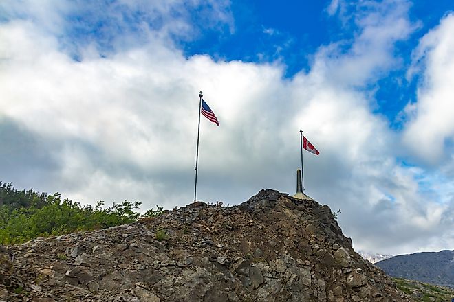
Alaska Boundary Dispute
The Alaska Boundary dispute involving the Alaska Panhandle dates back to 1821, and was finally resolved in 1903.
Lake Huron
Lake Huron has a length 332km of and a maximum width of 295km. The lake has a mean surface elevation of 176m, which is similar to that of Lake Michigan.

Lake Ontario
Encompassing an area of 19,000 sq. km, Lake Ontario is the smallest of the Great Lakes and the world’s 14th largest lake.

New England (United States)
New England is composed of 6 U.S. states: Massachusetts, Rhode Island, Connecticut, Vermont, New Hampshire, and Maine.

Lake Superior
Lake Superior is the largest and northernmost of the Great Lakes. At 82,000 square kilometers, it is the world’s largest freshwater lake by surface area.

Caribbean Sea
The Caribbean Sea is the Atlantic Ocean’s 2nd largest marginal sea that is positioned between the continents of North and South America.

Sunda Strait
Situated between the Indonesian islands of Sumatra and Java, the Sunda Strait links the Java Sea of the western Pacific Ocean with the eastern Indian Ocean.
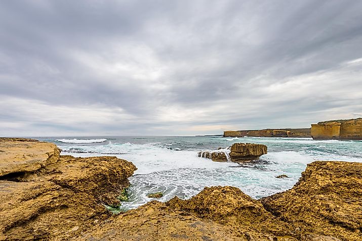
Bass Strait
The Bass Strait is a water channel between the island of Tasmania and the State of Victoria on the mainland of Australia.
Table Mountain, South Africa
Cape Town’s Table Mountain in South Africa, locally called Tafelberg in Afrikaans and Hoerikwaggo in Khoikhoi, is a sandstone mountain with an elevation of 1,085 m.

Mid-Atlantic (United States)
The term, Mid-Atlantic States, refers to 7 U.S. states in the eastern U.S., and also includes the District of Columbia

Crowsnest Pass, Canada
In Alberta, Canada’s fourth most populated province, is the famous and historic Crowsnest Pass. It is located partially in the southeast part of British Columbia.

Tautological Place
A tautological place refers to a location that has a name made up of two words with the same meaning. The two names are usually from different origins.
The Divided Sea Islands Of The World
There are 16 divided sea islands in the world that are controlled by more than one country. For example, Borneo is divided between Indonesia, Brunei, and Malaysia.
Largest Islands Of Europe By Area
Europe has some of the world’s biggest islands like Great Britain and Iceland that rank as the 9th and 18th largest islands in the world respectively.
Adriatic Sea
The Adriatic Sea is a shallow, semi-enclosed basin and the most isolated part of the Mediterranean Sea, between the eastern coastline of the Italian Peninsula and the countries of the Balkan Peninsula
Taiwan Strait
Also referred to as the Formosa (“Beautiful”) Strait, the Taiwan Strait extends from the South China Sea in the southwest to the East China Sea in the northeast.

Overseas France
France once had a vast empire with territory all over the world. Today, France is no longer a great imperial power, but it still has 13 overseas territories.
British Overseas Territories
The UK maintains control over 13 mostly small territories in different parts of the world like Anguilla, Cayman Islands, Pitcairn Islands, etc.
Horn Of Africa
The Horn of Africa is the continent’s easternmost extension comprising Ethiopia, Eritrea, Somalia, and Djibouti.
Italian Peninsula
The Italian Peninsula, known variously as Apennine or Italic Peninsula, is one of the three largest peninsulas in Southern Europe.

10 Largest Islands In The World
Greenland is the world’s largest island. The total land area of Greenland is 2.16 million sq. km, though this includes some small, offshore islands as well.
Maghreb, Africa
The region known as the Maghreb is an area in northwest Africa. The word “Maghreb” literally means “west” in the Arabic language.

Île Saint-Paul
Ile Saint-Paul, or St. Paul Island, is a small island that is part of the French Southern and Antarctic Lands in the Indian Ocean.

French West Indies
Often referred to as the French Antilles, the French West Indies are island territories in the Antilles group of islands in the eastern Caribbean Sea.
Mason-Dixon Line
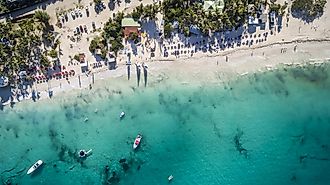
The Mason-Dixon Line is a boundary line drawn to solve a border dispute between the former British colonies of Pennsylvania and Maryland in Colonial America.

The WorldAtlas List of Geography Facts
Sometimes also called "the World" or "the Globe", the Earth is the third planet from the Sun. The Earth rotates on its axis in orbit around the Sun.
The Canadas
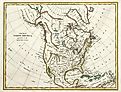
The Canadas were two British colonies in modern-day Canada that existed from 1791 to 1841. They form parts of today's provinces of Quebec and Ontario.
Populations Of Capital Cities Of The World
Tokyo is, by far, Asia’s and world’s largest capital city, with about 37.3 million people within the metropolitan area.
Auckland Islands
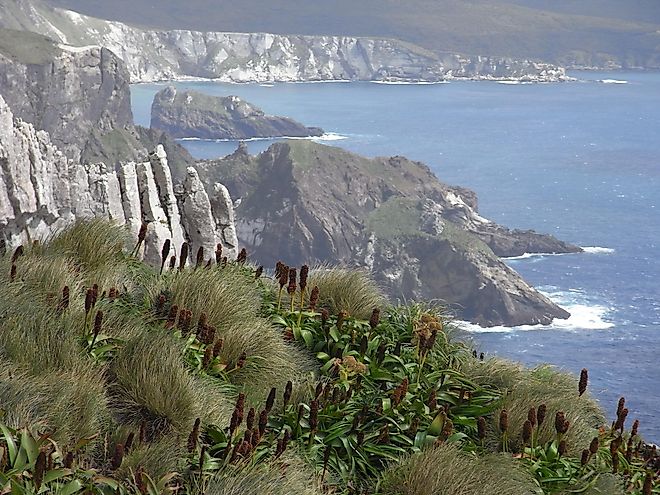
The Auckland Islands are an outlying group of islands belongin to New Zealand that are located in the Southern Pacific Ocean.
San Andrés Island
San Andrés is the largest island in the Colombian archipelago of San Andrés, Providencia y Santa Catalina. It is about 750 km away from the Colombian mainland.
Society Islands
The islands of French Polynesia are split into five groups: Austral, Gambier, Marquesas, Society, and Tuamotu. Tahiti and Bora Bora are in the Society Islands.
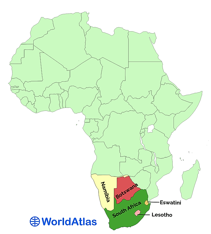
Southern African Countries
Southern Africa is a subregion of Africa, according to the United Nations Geoscheme. It is the smallest and least populous of all the African subregions.
French Speaking Countries
29 sovereign states and several territories use French as their official language. However, it is a co-official language in 16 of the 29 countries.
Major Rivers Of The Middle East
Numerous small and large rivers flow through the Middle East region. This article highlights some of the major rivers of the Middle East.

Nelson River, Canada
From the Mackenzie River in the Northwest Territories to the Saint Lawrence River, Canada has a network of over 8,000 rivers and seasonal streams.

Largest And Highest Islands Of The World
Greenland is the world’s largest and only island whose area exceeds one million square kilometers. Its size, 2.13 million square kilometers.

Dependencies And Territories Of The World
A dependency or dependent territory is a territory that is not fully independent or sovereign and also not fully part of an independent country.

World Map - Mercator Projection
Mercator is one of the most popular map projections because it preserves locations and shapes and represents south as down and north as up.

The Great Lakes
The Great Lakes of North America (Great Lakes) are a series of five interconnected deep freshwater lakes located in the east-central part of North America.