Sunda Strait
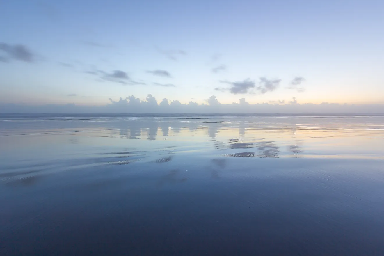
A strait can be defined as a narrow, navigable body of water that is located between two landmasses and serves as a connection between two large water bodies. Situated between the Indonesian islands of Sumatra in the northwest and Java in the southeast, the Sunda Strait links the Java Sea of the western Pacific Ocean with the eastern Indian Ocean.
Geography

The Sunda Strait has a minimum width of approximately 24 km and a minimum depth of about 20 m. The narrowest portion of the Sunda Strait is situated at its northeastern edge between Cape Pujat on Java Island and Cape Tua on Sumatra Island. The eastern part of the Strait is comparatively much shallower than its western part which is considered to be the deepest. The Sunda Strait is overall very shallow and therefore it is extremely difficult to navigate in the waters of the strait. In addition to its shallow depth, navigation is also made difficult by the presence of sandbanks, strong tidal currents, and other artificial obstructions like oil platforms. The strait’s shallowness and inaccurate charting make it highly unsuitable for several modern ships.

The Sunda Strait contains many small islands which were reportedly formed by the accumulation of volcanic debris and uplifting of rocks around volcanic vents. Some of these major volcanic islands include Sangiang, Panaitan, Sebesi, and Sebuku. The most well-known and deadliest among all the volcanic islands in the Sunda Strait is the Krakatoa caldera. Krakatoa last erupted on August 27, 1883, which resulted in a large tsunami with 38 m high waves that killed over 36,000 people and destroyed about 300 villages and towns. The eruption also altered the entire topography of the strait and deposited huge quantities of ignimbrite across a large area of 1.1 million km2 around the volcano. On December 29, 1927, the island caldera Anak Krakatau emerged on the rim of the volcanic caldera that remained after the 1883 eruption. Currently, Anak Krakatau serves as the site of frequent volcanic eruptions.
Brief History

The Sunda Strait was named after the Sunda Kingdom, which was a Hindu kingdom that ruled the western portion of Java Island from 669 to 1579. The strait’s name also refers to the Indigenous Sudanese people of West Java. From 1602 to 1799, the Sunda Strait served as an important shipping route and was used by the Dutch East India Company to access Indonesia’s Spice Islands.
On March 1, 1942, the Sunda Strait served as the site of the famous Battle of Sunda Strait which was a part of the bigger Battle of the Java Sea fought between Allied forces of the United States and Australia against the Japanese forces during World War II. The USS Houston of the US Navy and HMAS Perth of the Royal Australian Navy came across a significant Japanese force which comprised of four heavy cruisers, a light cruiser, a light aircraft carrier, and eleven destroyers, all of which were attempting to land near the Javan port of Bantam. This fierce naval battle resulted in the sinking of two cruisers of the Allied forces and two vessels of the Japanese forces.
During the 1960s, a proposal was made for constructing a bridge across the Sunda Strait. In October 2007, a new bridge plan was announced and an accord was signed with the China Railway Construction Corporation in April 2012 for building the new rail bridge. However, the entire project was shelved in November 2014 by the Indonesian President.