Taiwan Strait
The Taiwan Strait is a 180km-wide strait separating continental Asia and the island of Taiwan. A strait is a narrow water passage connecting two larger bodies of water, usually two seas. Straits can be formed naturally by tectonic plate movements or created by humans (called canals like the Suez Canal). While most straits are navigable, some are too narrow or shallow to allow safe movement of vessels.
Contents:
Where Is The Taiwan Strait?

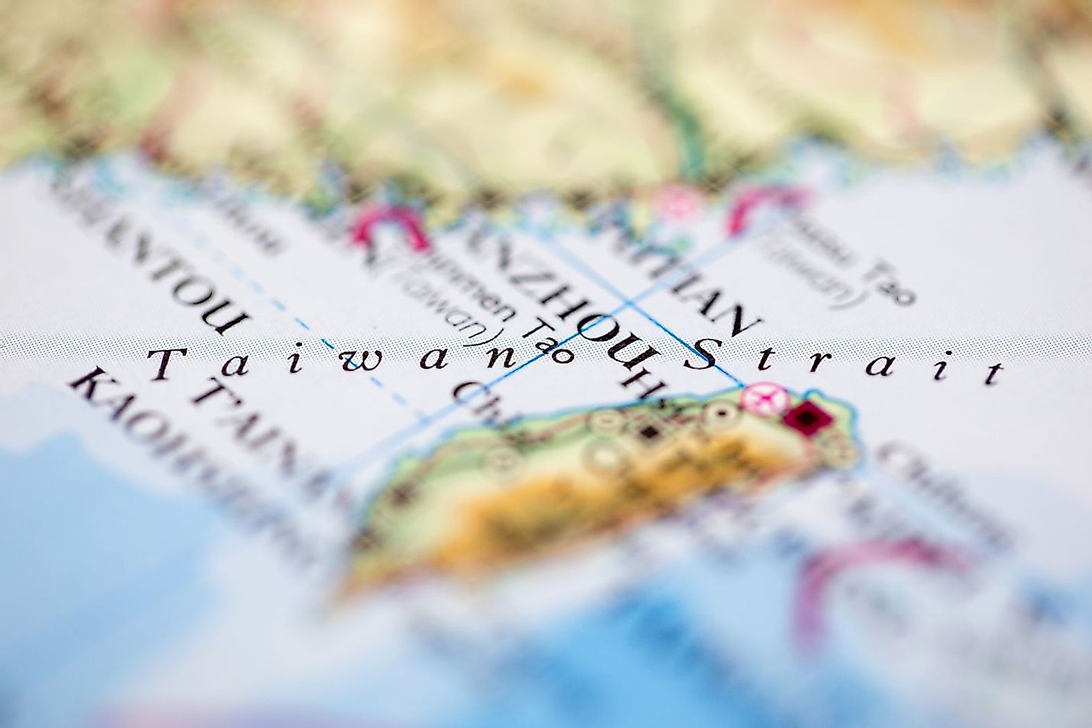
Also referred to as the Formosa (“Beautiful”) Strait, the Taiwan Strait extends from the South China Sea in the southwest to the East China Sea in the northeast. It runs between the coast of the Fujian (Fukien) Province and the island of Taiwan.
Geographical Features

The Taiwan Strait has an average width of 180km, while its narrowest part is 130km wide. It sits on Asia’s continental shelf that runs along the entire stretch of the strait. However, the Taiwan Strait is relatively shallow. It has an average depth of about 490ft, and a minimum depth of 82ft. Several rivers including the Jiulong and Min rivers from China’s Fujian Province drain into the Taiwan Strait.
About 370 million tons of sediments are deposited annually by the rivers of Taiwan draining into the Taiwan Strait. Several islands are located in the strait. Kinmen and Matsu are two of the largest and most significant islands in the strait located off the Fujian coast of China. The biggest islands along the Taiwan side include Penghu (or Pescadores), Xiamen, and Pingtan. The Xiamen and Pingtan Islands are administered by the People’s Republic of China, while the other three islands: Penghu (or Pescadores), Kinmen, and Matsu are under the administration of the Republic of China (Taiwan). The Penghu (or Pescadores) Island is the largest and most populous island in the Taiwan Strait.
Brief History

Historically, the strait has been an active battlefield witnessing military confrontations between the People’s Republic of China (Mainland China) and the Republic of China (Taiwan) on several occasions. In the year 1661, Zheng Chenggong (Koxinga) led his army across the Taiwan Strait to recapture the islands of Taiwan from the Dutch colonists. Naval confrontations occurred on the Strait between Taiwan and Mainland China during the Chinese Civil War of the 1940s. The Civil War ended in 1949 and led to the establishment of two governments after the Nationalist forces retreated to Taiwan and reestablished their own government. Armed conflict between the two governments erupted on the strait over the control of the Quemoy (Kinmen) and Matsu islands and came to be known as the “First Taiwan Strait Crisis “of 1954-1955. However, the two governments were involved in another armed confrontation on the strait, that came to be known as the “Second Taiwan Strait Crisis” of 1958. In response to a series of missile tests that were conducted by the People’s Republic of China in the Taiwan Strait, another dispute broke out in the year 1995-1996. It was known as the “Third Taiwan Strait Crisis” of 1996. Even though the relations between China and Taiwan have started improving, marine transport along the Taiwan Strait is strictly restricted along the “cross-strait meridian”, a maritime border established on the strait to define the boundaries of jurisdiction of the two governments.
Economy

The Taiwan Strait constitutes a critical corridor connecting the South China Sea to the East China Sea and also serves as a busy navigational waterway, on which millions of tons of cargo are ferried annually. The chief ports in the Taiwan Strait include Amoy (in Mainland China) and Kao-hsiung (in Taiwan). The strait is also one of the most important fishing grounds in China and more than a hundred economically important fish species are found here. Recently, petroleum and natural gas deposits have also been discovered in the seabed region off Taiwan’s western coast.


