The Largest County In The United States
San Bernardino County, California, covers about 20,105 square miles. That is more ground than any of the nine smallest US states holds on its own, and roughly the area of Costa Rica. The drive east to Needles, on the Colorado River, covers more than 200 miles without ever crossing a county line. Not only is San Bernardino the largest county in the United States, but it also beats its nearest rival by more than 1,400 square miles. It's important to note, however, that the title is rooted in semantics. Alaska's Yukon-Koyukuk Census Area covers far more ground than San Bernardino, but it is not technically a county. For that reason, San Bernardino comes out on top. Read on to learn more about the largest county in the United States, as well as its runners-up.
Where Alaska Fits In

Alaska does not have counties. It has boroughs, and in the parts of the state with no borough government at all, it has census areas, a Census Bureau construction for tracking population and land across territory that was never organized the way a county would be. The Bureau files boroughs, census areas, Louisiana's parishes, and Virginia's independent cities together under a broader heading, "county or county equivalent." Equivalent is doing real work in that phrase. A census area has no seat, no elected county government, and no charter. It is a statistical boundary drawn so that federal data has somewhere to live.
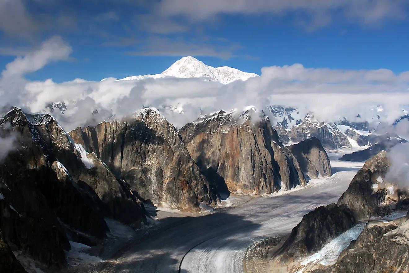
The largest of them is the Yukon-Koyukuk Census Area, a stretch of central Alaska wilderness covering roughly 147,800 square miles. That is slightly more than the entire state of Montana, and better than seven times San Bernardino County. The 2020 census counted 5,343 residents, the lowest population density of any county equivalent in the country, scattered across a landscape with almost no roads. Travel happens by bush plane, by boat, or by snowmobile once the rivers freeze. Yukon-Koyukuk is the largest county equivalent in the United States by a wide margin, but it is not a county, which is precisely why the record stays in California.
Inside San Bernardino County

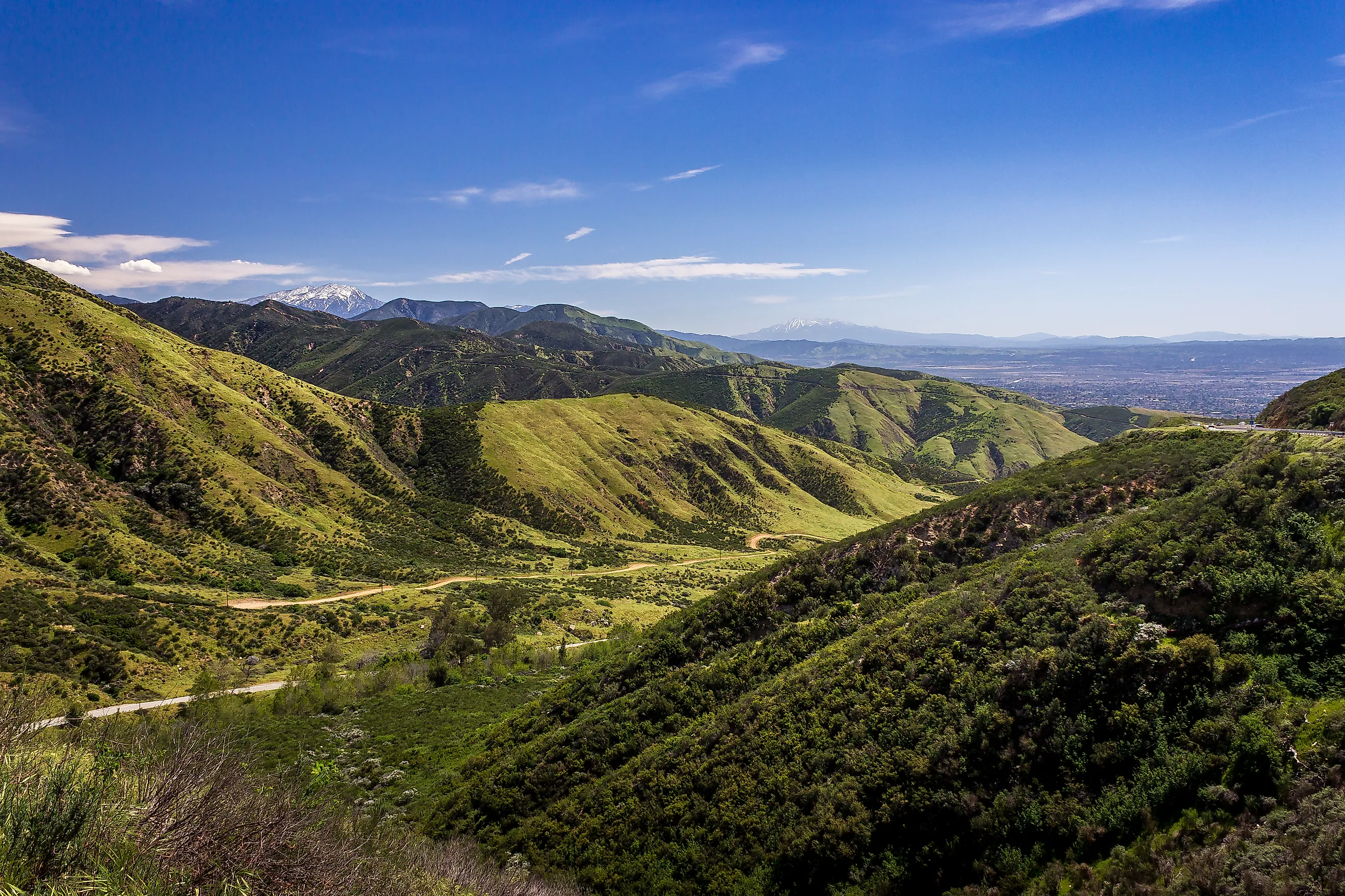
Most people who have heard of San Bernardino County picture the city itself, part of the Inland Empire east of Los Angeles. The county begins at the San Gabriel Mountains and extends northeast as far as the Nevada and Arizona borders, taking in most of the Mojave Desert on the way. About 2.2 million people live inside those lines, and almost all of them occupy the southwestern corner, the San Bernardino and Victor Valleys. An hour or two north or east, the towns thin into desert basins, dry lakebeds, and Joshua tree flats. Joshua Tree National Park straddles the county's southern boundary with Riverside County, and the Mojave National Preserve fills a large block of the eastern desert.
The county was established on April 26, 1853, carved out of Los Angeles County. Its name traces back through the San Bernardino de Sena Estancia, a Mission San Gabriel outpost founded in 1819 near present-day Redlands, to Saint Bernardino of Siena, whose feast day supplied the valley's name in 1810. Riverside County took a slice of the southern territory in 1893. What remains still exceeds New Jersey, Connecticut, Delaware, and Rhode Island combined, and inside it the ground climbs to 11,503 feet at San Gorgonio Mountain, the highest point in Southern California.
Why The Square Mileage Never Quite Agrees

Even San Bernardino's own area figure shifts depending on where it comes from. The 2000 census tabulation put the total at 20,160 square miles, of which 20,064 was land. More recent Census Bureau gazetteer files give about 20,105 square miles in total and somewhere between 20,057 and 20,068 in land, depending on the vintage. The differences come down to how water surface is counted and how Census-year boundaries get redrawn, not to anything changing on the ground. Any county-area figure is best treated as an approximation tied to its source and its year rather than a fixed number, which is exactly why competing "largest county" lists rarely quote the same total.
The Runners-Up, Coconino And Nye

Coconino County, Arizona, is the second-largest county in the country at about 18,661 square miles, and like San Bernardino, it outsizes each of the nine smallest states individually. It holds Grand Canyon National Park, Flagstaff, and part or all of five reservations: the Havasupai, Hopi, Hualapai, Navajo, and Kaibab-Paiute. The 2020 census counted 145,101 residents across the whole of it, about 27 percent of them American Indian or Alaska Native. Elevation within the county spans more than 10,000 vertical feet, bottoming out near 2,000 feet along the Colorado River and peaking at 12,633 feet on Humphreys Peak, the highest point in Arizona.
Nye County, Nevada, covers roughly 18,182 square miles of the Great Basin and Mojave country, making it Nevada's largest county and the third-largest in the country. Federal agencies manage well over 90 percent of it. That includes most of the Nevada National Security Site, the Cold War proving ground long known as the Nevada Test Site. The United States conducted 928 nuclear tests there between 1951 and 1992. Nye also holds Yucca Mountain, which the 1987 amendments to the Nuclear Waste Policy Act named as the country's sole permanent repository for spent nuclear fuel. Congress cut off federal funding for the project in 2011, and it has been dormant since. The 2020 census put the county's population at 51,591, and about 85 percent of them live in Pahrump, near the California line.
Why The Biggest Counties Are All Western

All ten of the largest counties in the country sit in the arid West, spread across Nevada, Arizona, California, Wyoming, and Oregon. 19th-century surveyors drew those lines across country nobody expected to fill up, and most of the acreage inside them belongs to the federal government, with the Forest Service, Bureau of Land Management, and National Park Service holdings accounting for the bulk of it. That ownership pattern is a large part of why these counties stayed enormous instead of subdividing as population grew, the way counties back East repeatedly did. What survives is a band of remote Western counties where a single jurisdiction can take half a day to cross. Compare the map against the states ranked by size, and the pattern holds: the same dry, federally held quarter of the country produces both the biggest states and the biggest counties.
What The Title Actually Means
San Bernardino County is the largest county in the United States, and no other county comes close. The Alaska comparison is worth making because it explains why different lists appear to give different answers, not because the title is in doubt. County equivalent is a Census category designed to make federal data comparable across states that organize themselves in very different ways, and it includes boroughs, parishes, census areas, and independent cities alongside actual counties. Measure counties against counties, and San Bernardino takes the cake by more than 1,400 square miles.