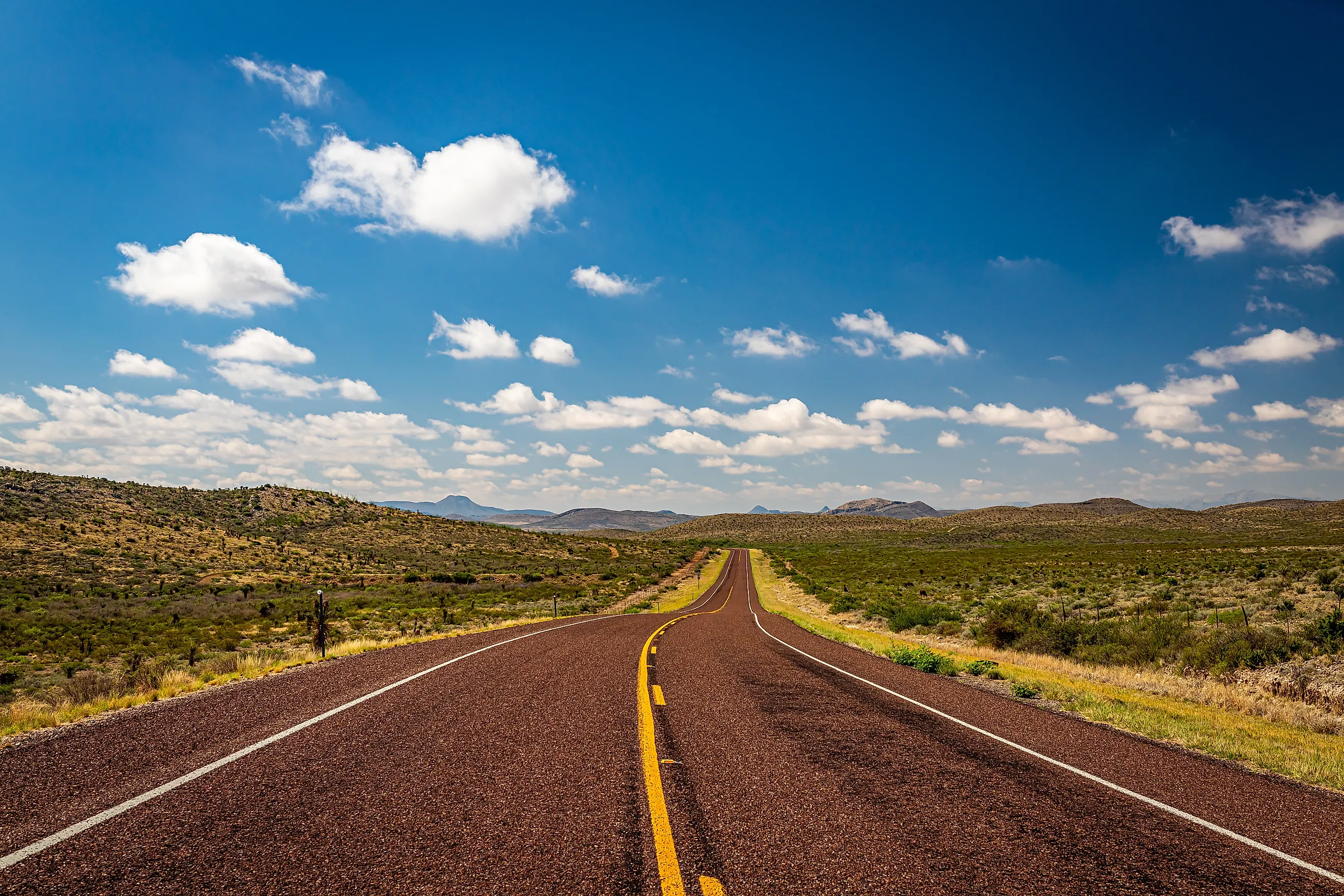
The Largest County In Texas
Ask any Texan whether they'd agree that "Everything is Bigger in Texas," and they're going to say, of course it is. They'll probably also add "better" to the sentence. The second-biggest state in the Union (it's topped only by Alaska), Texas is also where you'll find some of the South's biggest counties.
Brewster County alone covers 6,183.76 square miles of West Texas and is the largest of the state's 254 counties. It's so large, in fact, that one or two New England states would fit in it with room to spare. We know all this thanks to the US Census Bureau, the group that did the measuring. Here's what else you need to know about the largest county in Texas.
County Facts and Figures

The easiest way to grasp just how big Brewster County is is to compare it to some of the smaller US states. Using 2020 Census Bureau land figures, Connecticut measures 4,842 square miles, and Rhode Island, the smallest state, 1,034, and together still come up 307 square miles short. Delaware, at 1,949 square miles, would fit in Brewster three times with room to spare.
Compared to other Texas counties, the contrast is even more tangible. Rockwall County, east of Dallas, is the state's smallest at 127 square miles, and Brewster could take in 48 of them. Harris County, home to Houston, had 4.7 million residents at the 2020 Census, more than any other county in Texas, on 1,707 square miles. With 3.6 times the land and a population of 9,500, residents in Brewster County are spread out at the equivalent of 1.5 people per square mile.
Despite its number one ranking in the Lone Star State, Brewster's by no means the largest county in the country. That title belongs to San Bernardino County, California. At 20,068 square miles, it's more than three times Brewster's size. Even that, though, comes with a caveat, as Alaska, which has boroughs and census areas as county equivalents, goes bigger still. One of them, the Yukon-Koyukuk Census Area, covers about 145,576 square miles.
Why So Big?

Brewster's size has long been a topic of conversation. Its parent, Presidio County, was organized in 1875 with 12,000 square miles, the largest county in the United States at the time. Then, in February 1887, Presidio was split into pieces, one adopting the surname of Henry Percy Brewster, a veteran of the Battle of San Jacinto who served as secretary of war for the Republic of Texas.
The town of Alpine (then named Murphyville) became the county seat, and two more counties, Buchel and Foley, were created from Presidio at the same time but didn't last for long and were eventually added to Brewster.
What the enlarged county of Presidio gained was mostly desert and mountains, with less than one percent being prime farmland. The value was to be discovered underground, with quicksilver (aka, mercury) being mined in Terlingua in the south of the county. By 1922, Terlingua was producing 40 percent of the quicksilver mined in the United States.
Brewster's National Park

A fifth of Brewster County is occupied by Big Bend National Park, established in June 1944 and covering an area of 1,252 square miles. Ranked by the National Park Service (NPS) as the 15th largest in the national park system, Big Bend National Park is bigger than Rhode Island. Named for the turn the Rio Grande makes along the county's southern edge, it's here that the river serves as the border with Mexico for 118 miles.
Elevations run from 1,850 feet at Rio Grande Village, a campground and store on the river, to 7,832 feet at Emory Peak at the top of the Chisos Mountains. The Chisos are a volcanic range of 40 square miles and, according to the NPS, the only mountain range completely contained within a national park. Most of the rest is Chihuahuan Desert, and crossing it takes time, especially as 181 of the park's 304 miles of roads are unpaved.
Brewster County's national park is part of the Greater Big Bend International Dark Sky Reserve, which was was certified by Dark Sky International. The reserve covers 15,000 square miles of West Texas and northern Mexico, where outdoor lighting is managed to protect the night sky. McDonald Observatory, the University of Texas research station that led the effort, described it as the largest certified dark sky place to date.
Three Towns And The Roads Between

The folks in Brewster County aren't as spread out as you'd imagine they'd be in a place this big. While the Texas Almanac lists more than 50 towns and settlements in Brewster County, many of them are no longer active, and most of the population is centered around the communities of Alpine, Marathon, and Terlingua.
Alpine, the county seat, is in the northwest and is home to Sul Ross State University, opened in 1920 and featuring attractions like the Museum of the Big Bend, which explains the region's natural and human history. The town also has the county's Amtrak station.
Marathon is about 30 miles southeast of Alpine and was named in 1882 after the plains of Marathon in Greece. The Gage Hotel, opened in 1927, still offers lodging, and the on-site White Buffalo Bar and 12 Gage Restaurant are popular with locals and visitors alike.
Terlingua, in the far south, became a ghost town after the collapse of its quicksilver mines. Now a tourist spot, its highlights include the Starlight Theatre Restaurant & Saloon in the old mining district, and the Terlingua International Chili Championship, which was first held in 1967 and takes place each fall at Rancho CASI de los Chisos.
Bigger Than Connecticut
However you slice it, Brewster County is the largest county in Texas. It has 6,183.76 square miles of land as of the 2020 Census, and no other Texas county comes within 1,400 square miles of matching it. A national park takes up a fifth of the county; its high point is 7,832 feet, the river border runs 118 miles through the park, and 9,500 people share what's left. The largest county in Texas is the one with more square miles than Connecticut, and fewer than two people in each of them.