The Most Dangerous Railroad Crossings In The United States
According to federal railroad safety estimates, a person or vehicle is struck by a train at a U.S. railroad crossing approximately every four hours. A second of impatience at a railroad crossing can turn a routine commute into something deadly. The dangerous mix of outdated infrastructure, confusing signals, and hurried drivers in places like Phoenix and Birmingham drives these incidents. Let's uncover the cities and their key factors that pose safety hazards at these railroad crossings.
Phoenix, Arizona
In a 2016 report covering the previous decade, the FRA identified individual Phoenix railroad crossings with 24 and 21 reported incidents, placing them among the nation's most frequently involved crossings. Key factors include the city's diagonal track layout system that cuts through traditional grid patterns, creating multi-lane intersections that are difficult to navigate, especially where Grand meets 35th Avenue and Indian School Road. In addition, at locations like 35th Avenue, tracks were adjusted over the years, but the warning signals and traffic lights were not. This further confused many of the drivers about when it was safe or legal to stop.
The area records heavy traffic volumes, with many commuter cars and commercial trucks waiting at long red lights. These delays cause impatient drivers to race through or go around the gates, often resulting in unfortunate incidents. The FRA has identified multiple accidents within a 4-mile radius of the Burlington Northern Santa Fe railway line running alongside U.S. 60/Grand Avenue, landing Phoenix railroads on a national danger list.
Glendale, Arizona

In Glendale, Arizona, the train tracks are not laid out in a uniform grid like those in most cities. It's divided diagonally by U.S. Route 60, known as Grand Avenue and the Burlington Northern Santa Fe tracks, which connect with metropolitan Phoenix. Drivers turning onto Grand Avenue face obstructed views from the diagonal grid, making it harder to see and estimate the speed of approaching trains and cross safely.
Some major intersections, like Camelback Road, are high risk because they have complex junctions along the tracks that are harder for drivers to navigate. At the same time, drivers must keep an eye on regular traffic signals, turning lanes, and oncoming traffic. Some crossings use flashing overhead lights instead of drop-down gates, which the FRA has flagged as contributing to the city's high incident rate. Drivers often misjudge the speed of trains or think they can race the lights because there is no physical barrier.
Burlingame, California

Compact design layouts, heavy traffic flow, and insufficiently timed signals have caused high incident rates at the Caltrain crossing at Broadway and California Drive in Burlingame. The railroad tracks are sandwiched between two traffic lights on California Drive and Carolan and Broadway Avenue, and red-light delays create congestion directly on the tracks. This intersection and railroad sees over 70,000 vehicles and pedestrians on a daily basis, which is more than double the entire population of Burlingame, leading to continuous complications across the lanes.
The crossing was built in the early 1900s and was never designed to handle heavy traffic and increased speed limits over time. The California Public Utilities Commission has dubbed the intersection a high-risk crossing and named it the highest priority statewide because of the numerous accidents and fatalities that have occurred over the years.
Birmingham, Alabama

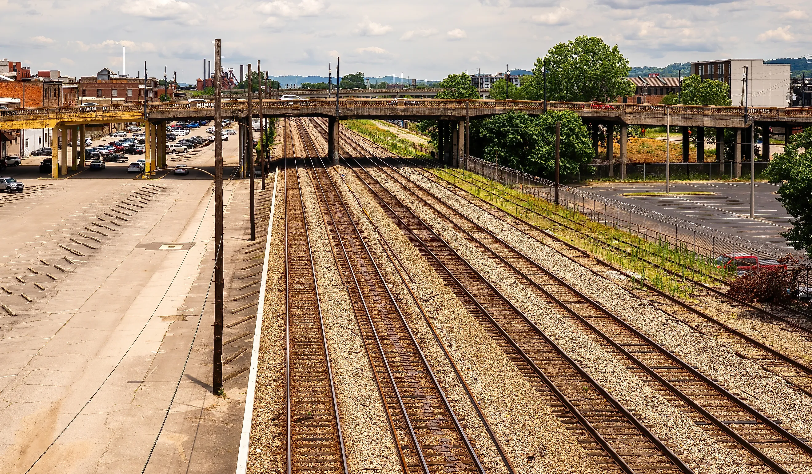
Birmingham was founded in 1871 at the crossing of the South & North Alabama Railroad and the Alabama & Chattanooga Railroad, two major rail lines. The lines ran straight through the city grid, which created a natural divide between the residential and business districts. Because of this, there are numerous crossings of freight trains and cars, up to 19,000 a day, that travel through daily. Data shows that the signals, bells, and lights work properly at the intersection, and that most collisions here are due to impatient drivers.
Another cause of accidents is long freight trains that stop frequently for long periods and sometimes block key intersections, frustrating drivers and leading them to make risky decisions about how to maneuver around them. Additionally, because the trains operate at street level along with moving cars and pedestrians, the city is looking to install cameras and redesign certain routes for safety.
It's important to remember that trains can't stop on a dime or make a last-minute decision. It's the responsibility of drivers and pedestrians to be aware of their surroundings and practice patience when approaching railroad crossings. This is particularly true when there are railroads with multiple lanes in cities such as Burlingame. Furthermore, counties and states need to invest in modern infrastructure like underpasses at intersections and address lights, bells, signals, and gates that don't work.