The Difference Between A County And A County Equivalent
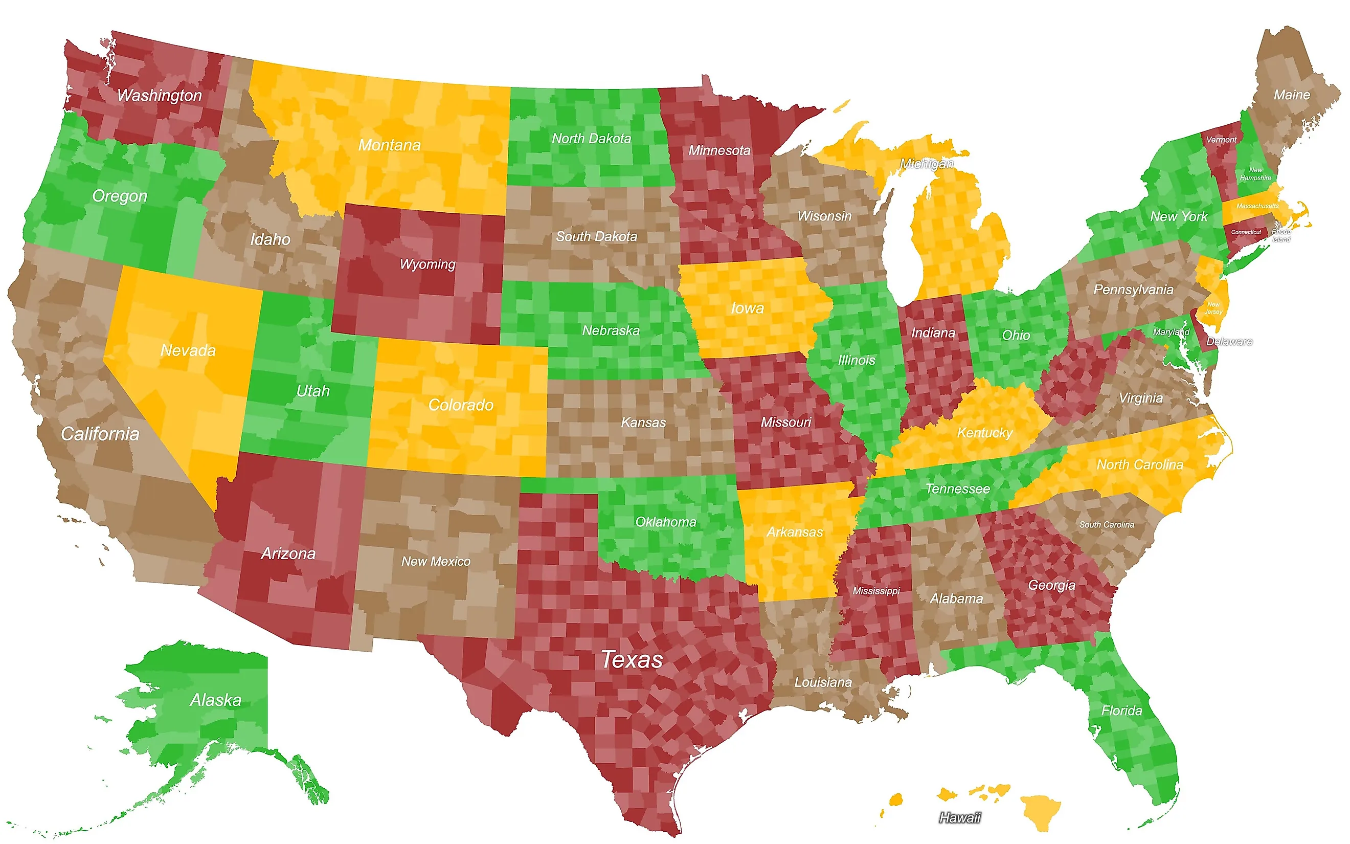
Counties are one of the oldest forms of government in the United States, but not every state has them. The U.S. Census Bureau describes counties as the primary legal divisions of most, though not all, states. Some states instead have "county equivalents," which go by names like parishes, boroughs, municipalities, or census areas. Four states even have cities that sit outside any county, yet the Census Bureau still counts them as county equivalents for statistical purposes. The distinction can get confusing, so here is how a county and a county equivalent actually differ.
What Is A County?

A county is the primary legal division of most states. Most counties are functioning governmental units, although their powers and functions vary considerably by state. Depending on the state, county governments may handle roads, law enforcement, and other functions.
County governments receive authority from the states under two main doctrines, Dillon's Rule and Home Rule. Counties operating under Dillon's Rule generally exercise powers specifically granted by the state. Home Rule counties have more freedom to manage local affairs within limits established by state law. Currently, counties in 14 states operate entirely under Dillon's Rule, 13 states give all of their counties Home Rule authority, and the remaining 21 states with county governments use a mixture of Home Rule and Dillon's Rule.
What Is A County Equivalent?

A county equivalent is an area that the U.S. Census Bureau treats at the same geographic level as a county even though it is not organized or named as a conventional county. County equivalents are not necessarily statistical entities only. Many are legal governmental units, while others exist mainly for statistical purposes.
In the 50 states and the District of Columbia, county equivalents include Louisiana parishes; Alaska boroughs, municipalities, and census areas. They also include independent cities in Maryland, Missouri, Nevada, and Virginia; Connecticut planning regions; and the District of Columbia itself. Puerto Rico and the other U.S. territories have additional county-equivalent arrangements.
Louisiana Parishes

The parishes of Louisiana are governmental subdivisions that the Census Bureau treats as county equivalents. The name comes from Louisiana's French and Spanish colonial history and its Catholic parish tradition. Each parish government runs a portion of the state under authority granted by Louisiana law. The Louisiana Constitution allows the state legislature to change the boundaries of parishes, subject to voter approval requirements in the affected parishes.
Alaska Boroughs and Census Areas

Instead of counties, Alaska has 19 organized boroughs and 11 Census Bureau-designated census areas, producing 30 county-equivalent areas. The census areas cover portions of Alaska's unorganized borough and do not function as local governments.
Alaska's organized boroughs are legal regional governments with elected governing bodies and powers established under state law. Alaska's Constitution requires the state to be divided into organized and unorganized boroughs and was designed to provide regional government while limiting unnecessary duplication of local governments. Alaska also uses several unusual names for its organized county-equivalent governments. Anchorage and Skagway are municipalities, while Juneau, Sitka, Wrangell, and Yakutat are city-and-borough governments.
Independent Cities

There are 41 independent cities in the U.S. that operate outside any county. Thirty-eight are in Virginia, while Maryland, Missouri, and Nevada each have one. The Census Bureau treats these independent cities as county equivalents because they constitute primary divisions of their states rather than parts of surrounding counties. Examples include Baltimore, Maryland; St. Louis, Missouri; Carson City, Nevada; and Richmond, Virginia.
Connecticut Planning Regions

Connecticut is home to another type of county equivalent. The state's former eight counties stopped functioning as county governments in 1960. Beginning with current Census geography, nine planning regions replaced those historical counties as Connecticut's county equivalents.
Consolidated City-Counties

Consolidated city-counties are different from county equivalents. A consolidated government forms when the functions of a city and its county or another local government are merged, but that arrangement does not automatically make the area a county equivalent. The Census Bureau separately recognizes consolidated cities such as Athens-Clarke County, Georgia, and Indianapolis, Indiana. In these cases, consolidation describes how local government is organized rather than creating a separate category of county equivalent.
What's The Federal Impact Of Counties And County Equivalents?

Counties and county equivalents provide a common geographic framework for federal data. The U.S. Census Bureau uses county-level geography in the decennial census, the American Community Survey, population estimates, economic statistics, and other datasets. Other federal programs also use Census data in determining eligibility and funding formulas.
Does It Really Matter What It's Called?
For the average citizen, the label barely matters. Whatever the local center of power is called, residents still get their services, public schools, and emergency response the same way. The distinction matters most to the U.S. Census Bureau, which needs a stable, standardized framework of about 3,144 counties and equivalents to track national demographics and allocate federal funds. Names like Louisiana's parishes and Alaska's boroughs are the residue of very different colonial and constitutional histories, preserved because federal data needs one consistent unit to count. That is the real function of the county and its equivalents: a single geographic building block holding together local self-government and national statistics.