Every Place In America That Averages Over 200 Inches Of Snow
Two hundred inches is more than 16 feet of snow. Population plays no part in the cutoff. The yardstick is a 30-year average above 200 inches for 1991 to 2020, taken from the official climate normals of the National Oceanic and Atmospheric Administration (NOAA). Twenty-six weather stations in 12 states make the cut. A 27th, Paradise on Mount Rainier, beats them all but falls outside those official averages. Elevation alone does not decide who qualifies. Moving moisture has to hit something, be it a mountain wall, a lake-effect plateau, or an exposed summit.
Coastal Alaska

Ninety-five feet above sea level is all the height the Valdez weather station needs. It averages 325.3 inches, more than twice the 156.9 inches at the Leadville airport in Colorado, 9,932 feet up. Valdez makes up the difference with moisture. Storms off the Gulf of Alaska cross Prince William Sound and hit the Chugach Mountains right behind town. The Cordova and Valdez region shares the highest precipitation in Alaska with parts of the west-central panhandle.
The same storms reach the rest of the Prince William Sound. Whittier records 268.2 inches, with peaks rising straight out of Passage Canal behind it, and the Main Bay Hatchery, about 40 miles southeast, logs 261.8. Away from the Sound, two more stations clear the line. The Alyeska station, at the head of Turnagain Arm, reaches 214.5, and a station 40 miles northwest of Haines, in the coast mountains of Southeast Alaska, averages 245.1.
The Washington Cascades

Paradise once owned the world record for snowfall in a single season. Its station, at 5,400 feet in Pierce County, measured 1,122 inches in the 1971 to 1972 season, and the mark stood until 1998. Park totals for the same 30 winters average about 674 inches. No station in NOAA's 1991-2020 snowfall normals have come close to Paradise, although the Rainier Paradise Ranger Station has its own official NOAA climate normals from an earlier period. This close to the coast, the National Park Service notes, Mount Rainier acts as a magnet for storms.
Farther north in the Cascades, Holden Village, in Chelan County, collects 273.7 inches a year. The village stands in a high valley of the North Cascades near the crest, close enough to catch the heavy snow that Pacific storms drop on the mountains.
The Oregon Cascades

The highest snowfall average in NOAA's current normals belongs to Crater Lake National Park headquarters. Its station, 6,485 feet up in Klamath County, averages 463.1 inches, a total the Park Service ties to its position at the crest of the Cascades. The park's own average has slipped to about 41 feet by 2021, down from about 51 feet in the 1930s. Snow that deep closes Rim Drive around Crater Lake to cars each winter.
The same crest catches storms farther north. On Mount Hood, Government Camp gets 232.5 inches in Clackamas County. The village took its name after heavy snow caught an army regiment on the Barlow route. An all-weather road links it to Timberline Lodge, a lodge that has recorded snow depths on the mountain since the winter of 1949 to 1950.
The Sierra Nevada, California

Pacific storms rise over the Sierra Nevada crest at Donner Pass, and a station near Soda Springs in Placer County, at 6,887 feet, averages 445.0 inches. The University of California, Berkeley, operates the Central Sierra Snow Laboratory out of Soda Springs, and its snowfall records reach back to 1879. The Truckee Ranger Station, east of the pass, qualifies at 206.6.
The pass earned its name the hard way. Snow trapped the 91-person Donner wagon train there in the winter of 1846 to 1847. By January, it lay over 10 feet deep. Only 45 lived.
Far to the south, the range wrings heavy snow out of storms as well. Lodgepole averages 220.4 inches inside Sequoia National Park in Tulare County, enough that the Generals Highway usually shuts between Lodgepole and Grant Grove early January through mid-March.
The Wasatch, Utah

The Alta Ski Area station, at 8,710 feet in Salt Lake County, averages 458.3 inches. Avalanches set the rules there. The Alta Town Marshal can order "interlodge," an order that confines everyone in town indoors until the danger passes.
Moisture is not the whole story at Alta. University of Utah atmospheric scientist Jim Steenburgh notes that some of its largest snowfalls come from storms carrying little water vapor. Farther south, the Skyline Mine station, in Carbon County, reaches 225.4 inches on the Wasatch Plateau, about 8 miles southwest of Scofield.
Greater Yellowstone, Wyoming And Montana

A lowland southwest of Yellowstone National Park steers storms toward it. The US Geological Survey says the Snake River Plain "funnels storms right to Yellowstone." The Snake River station in Teton County, Wyoming, takes in 293.6 inches. Lake Yellowstone misses by 0.6 inch.
Cooke City, Montana, gets 213.1 inches. Snow closes most park roads to cars between mid-December and mid-March, leaving the road between Gardiner and Cooke City as the lone Yellowstone route open to regular vehicles.
The Colorado Rockies

Climax, a molybdenum mine at the top of Fremont Pass in the Rocky Mountains, shares its name with one of Colorado's snowiest stations. The Climax station averages 294.7 inches at 11,344 feet in Lake County. No qualifying station is higher.
The Colorado Climate Center at Colorado State University sums up Colorado snow in seven words, "the highest mountains get the most snow." Winter Park, in Grand County, averages 214.0 inches. Crested Butte, in Gunnison County, clears the 200-inch line by 3 inches.
Eight miles up the valley from Crested Butte, Gothic beats every other station in Colorado. It averages 389.0 inches at about 9,500 feet, some 94 inches more than Climax despite standing nearly 1,900 feet lower. Gothic is the exception to the Colorado Climate Center's rule.
Michigan's Upper Peninsula
Michigan's one entry, Herman, averages 207.8 inches at 1,717 feet in Baraga County, where the Silver River rises in the high country east of the community.
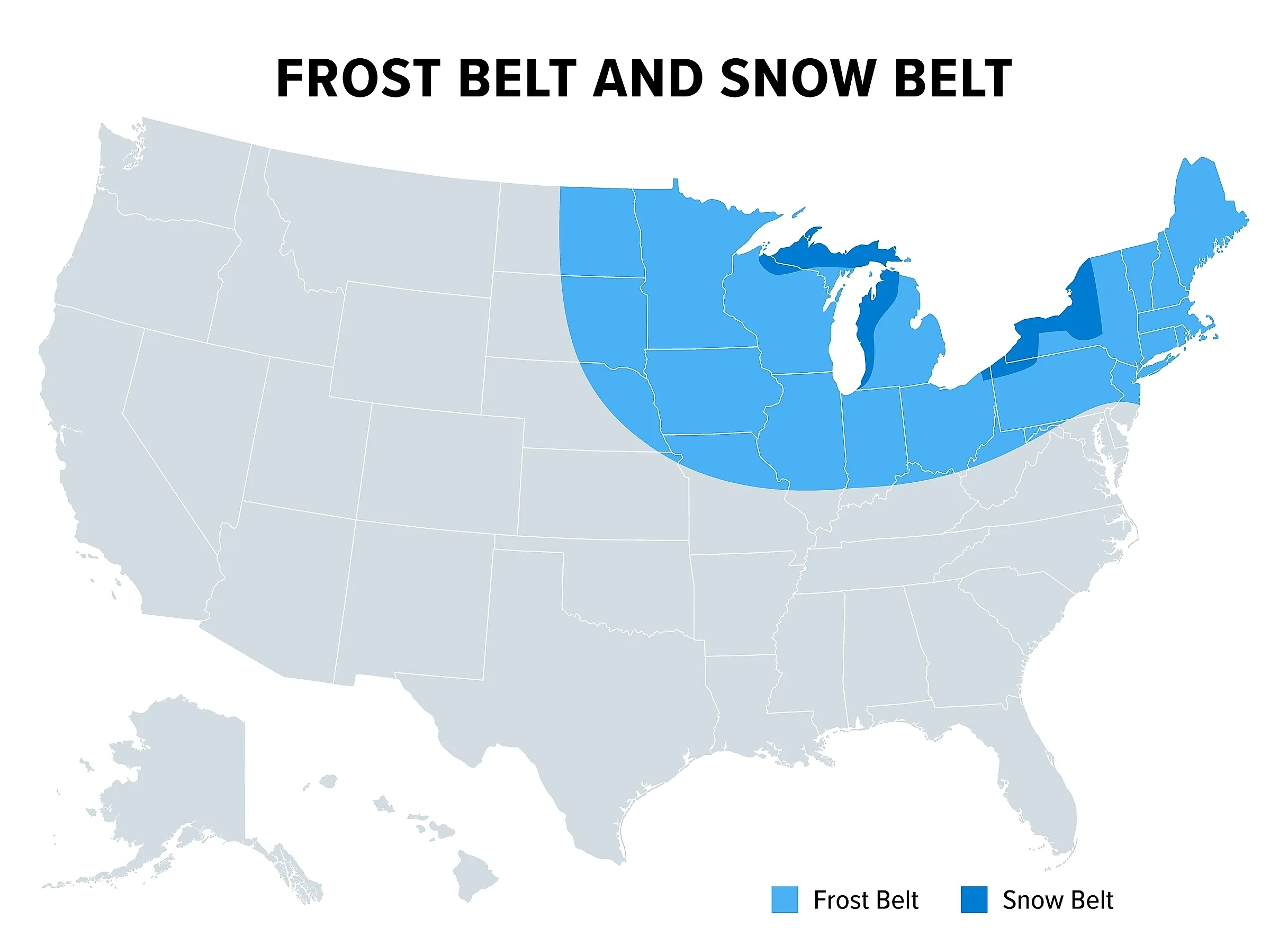
Lake Superior supplies that snow. Cold air picks up moisture crossing the open lake, then drops it as the land rises from the shore. Near the regional forecast office outside Marquette, the ground climbs about 750 feet within 8 miles of the water, and the office can see as much as 200 inches of lake-effect snow. Herman, higher still, clears that mark. The highlands west of Marquette average close to 200 inches, and the Marquette station itself comes up 3.2 inches short, at 196.8. The same office lists 392 inches as the record seasonal snowfall for Upper Michigan.
New York's Snowbelts

Tug Hill covers 2,100 square miles between Lake Ontario and the Adirondacks, an area larger than Delaware or Rhode Island. The state's Tug Hill Commission traces its snow to winter winds crossing some 150 miles of Lake Ontario, then climbing steeply across the region. Two Lewis County stations top 200 inches, one near Hooker at 227.7 and one near Highmarket at 203.1.
One January 1997 storm never made the record books. Montague reported 77 inches in 24 hours, but a National Weather Service committee declined to recognize the total. Observers had measured too often for a valid 24-hour sum.
Off Lake Erie, Sherman in Chautauqua County averages 224.5 inches. Perrysburg in Cattaraugus County gets 208.3, and regional forecasters have named it a typical upslope area for lake-effect bands.
The New England Summits

At 231 miles per hour, the gust measured atop Mount Washington on April 12, 1934, remained the fastest wind on record for 62 years. Nothing nearby shelters the summit from passing storms. The Mount Washington Observatory staffs its summit station around the clock in Coos County, New Hampshire. The summit station averages 281.8 inches of snow.
Mount Mansfield, the highest peak in Vermont, rises to 4,393 feet. Its station, in Lamoille County, averages 234.9 inches. Summit records date to 1954, and engineers at a television transmitter on the ridgeline report conditions to the weather service each night.
Where The Snow Comes From
Two hundred inches takes moisture and a barrier. Valdez reaches 325.3 inches at 95 feet, and Climax gets 294.7 at 11,344 feet. Three of the Great Lakes feed the plateaus and highlands of New York and Michigan. Paradise, on a mountain close enough to the coast to catch storms, outdoes every qualifying station.