States That Receive the Least Amount of Rain
The United States is the third or fourth largest country in the world, depending on how its total area is measured, covering about 9,833,520 square kilometers. Across an expanse that large, precipitation varies enormously. Pacific storm systems soak the West Coast and Hawaii through the cooler months, extratropical storms bring rain to other parts of the country in late summer and fall, and much of the eastern and central US receives fairly steady moisture year-round. For the country as a whole, excluding Alaska and Hawaii, the average is roughly 30.2 inches (767 mm) a year. At the dry end of the scale sit the arid interior and Southwest. While Hawaii, Louisiana, and Mississippi are the wettest US states, the driest are Nevada, Utah, Wyoming, Arizona, and New Mexico. This article ranks the driest states by average annual precipitation, drawing on NOAA climate normals. Precipitation is the standard climate measure, counting both rain and the water content of snow once it melts, and it matters here because several of these states are cold and mountainous, and a large share of their moisture arrives as snow rather than rain.
Why These States Are So Dry
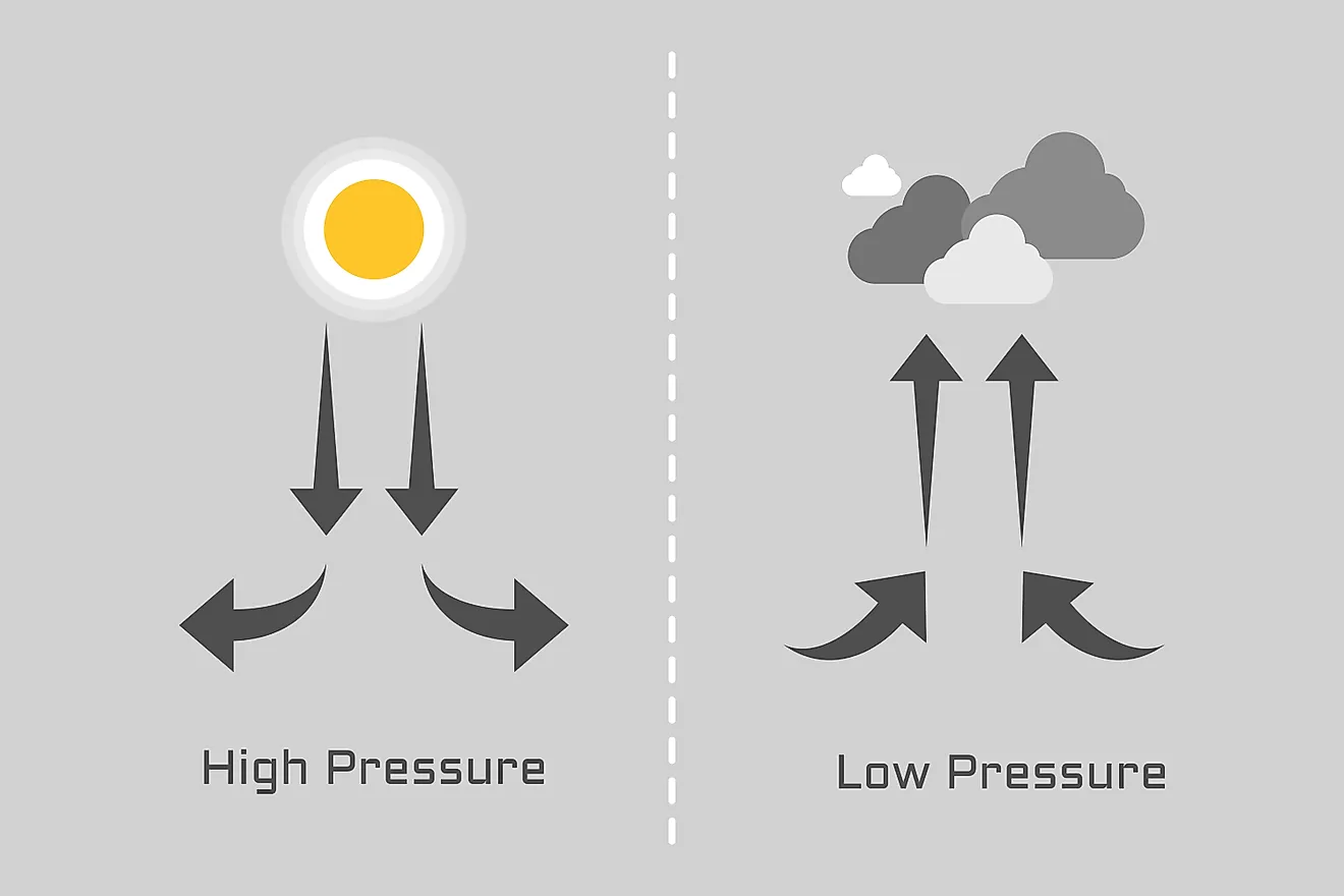
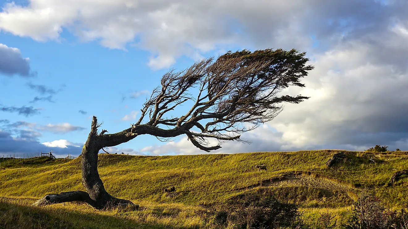
The driest states owe their aridity to a handful of overlapping geographic effects. The most important is the rain shadow. As moist Pacific air is forced up and over ranges like the Sierra Nevada and the Cascades, it cools, sheds its moisture as rain and snow on the windward western slopes, and descends the eastern side warm and dry. The Great Basin and the interior West lie in that shadow, and the Rocky Mountains cast further shadows deeper inland.
Distance from the ocean compounds the effect. Air loses moisture the farther it travels overland, so the far-inland states of the northern Plains and the Mountain West receive what is left after storms have already been wrung out closer to the coast. Not one of the ten driest states has a seacoast. A third factor operates over the Southwest, where a belt of high pressure produces sinking, stable air for much of the year, suppressing the cloud formation that would otherwise bring rain. Elevation adds to all of this: high, cold air holds relatively little moisture, and much of this region sits well above sea level.
There are seasonal exceptions. Arizona and New Mexico draw a meaningful share of their yearly total from the North American monsoon, a summer shift in wind patterns that pulls humid air inland and sets off afternoon thunderstorms. Even so, these bursts are not enough to lift the region out of the driest tier.
The Five Driest US States
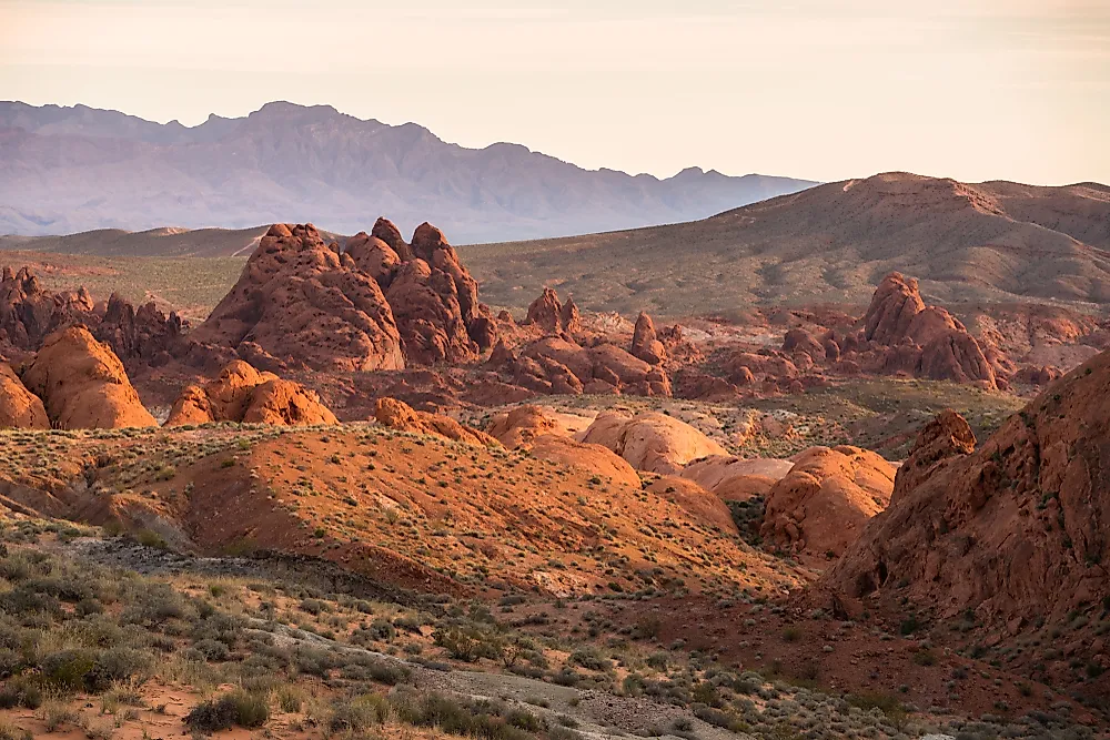
1. Nevada

Nevada is the driest state in the country, averaging just 9.5 inches (241 mm) of precipitation a year. Most of it lies in the Great Basin, hemmed in to the west by California's Sierra Nevada. Pacific storms lose their moisture climbing that range, so the air reaching Nevada is already dry, and the state's own north-south mountain ranges wring out a little more, leaving the valleys between them parched. Winters are long and cold in the north and short and mild in the south, where the Mojave Desert takes over and Las Vegas averages only about 4 inches a year. What little precipitation the state receives comes mostly in winter, and January is typically its wettest month.
2. Utah

Utah is the second-driest state, at about 12.2 inches (310 mm) a year, though its exact rank is close enough to shift with the dataset used. Like Nevada, much of Utah sits in the rain shadow of the ranges to its west, and its climate ranges between semi-arid and true desert. The mountains are the exception: the snow that feeds Utah's ski resorts falls at elevation, while the lowlands stay dry. The Great Salt Lake Desert in the west is the driest corner of the state, with some stations recording under 4 inches a year. Precipitation is spread thinly through the year, peaking in late winter and spring.
3. Wyoming

Wyoming ranks third, averaging 12.9 inches (328 mm) a year, which often surprises people given its snowy reputation. The snow is real, but it does not amount to much water: Wyoming is high, cold, and far from any ocean, and the ranges along its western edge strip incoming Pacific air of most of its moisture. Totals vary widely within the state. The Big Horn Basin and other sheltered valleys record only 5 to 8 inches a year, dry enough to qualify as desert, while the mountains gather far more, much of it as snow. Late spring is the wettest time, and May is the peak month.
4. Arizona

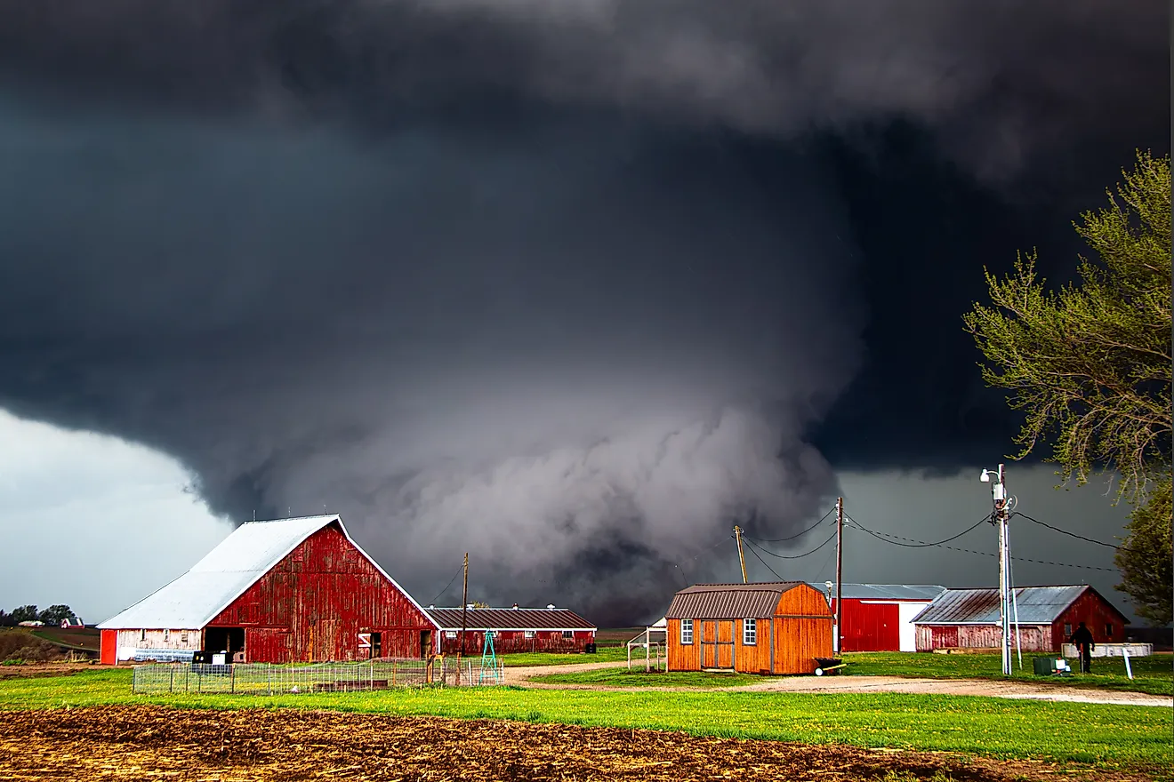
Arizona is the fourth-driest state, at 13.6 inches (345 mm) a year. Its low-elevation deserts bake under hot summers and mild winters, while the higher plateau country in the north is cooler and catches more moisture. Two seasons deliver most of the state's precipitation: winter cold fronts moving in off the Pacific, and the summer monsoon, when a shift in wind patterns brings humid air and afternoon thunderstorms. Those storms make August the wettest month, and they often arrive as brief, intense downpours that trigger flash floods. Overall, Arizona's inland position and the sinking, stable air of the subtropical high keep it firmly among the driest states.
5. New Mexico

New Mexico rounds out the top five, averaging 14.6 inches (371 mm) a year. Its landscape spans desert, high plains, and mountains, and its climate ranges between semi-arid and arid, with pockets of alpine and continental conditions at elevation. The reasons for its dryness echo those of its neighbors: a far-inland location and the rain shadow of the mountain ranges to the west, which leave little moisture in the air by the time it arrives. As in Arizona, the summer monsoon is the main wet season, and August is typically the wettest month.
Rounding Out the Ten
The rest of the ten driest states fill out the interior West and the northern Great Plains. Montana, at 15.3 inches (389 mm), and Colorado, at 15.9 inches (404 mm), are dry for much the same reasons as Wyoming: high elevation, cold air, and the rain shadow of the Rockies, with Colorado in effect casting a shadow of its own. Farther east and north, North Dakota, at 17.8 inches (452 mm), and South Dakota, at 20.1 inches (511 mm), are cold, flat, and about as far from an ocean as any land in the country can be, so the moisture that reaches them has already been squeezed out along the way. Idaho, at 18.9 inches (480 mm), shares the inland, rain-shadowed setting of its neighbors, though its northern mountains collect heavy winter snowpack that its southern plains never see.
A Note on the Rankings
Precipitation rankings shift slightly depending on which dataset and averaging period are used. Nevada is consistently the driest state by a clear margin, but the second through fifth positions are close, and different NOAA normals periods can reorder Utah, Wyoming, Arizona, and New Mexico. One analysis in the Journal of Hydrologic Engineering pointed out that Utah, frequently called the second-driest state, actually ranks third or fourth in most 30-year periods. The figures here follow NOAA climate normals and match the ordering used across recent climate references, but small differences between sources are to be expected.
Future Trends
Most of the driest states lie in the interior West and Southwest, and the scientific consensus is that this region is trending warmer and drier. Since 2000, the Southwest has been gripped by a prolonged drought that researchers rank among the most severe the region has seen in centuries, intensified by human-caused warming. Higher temperatures increase evaporation and shrink mountain snowpack, the natural reservoir that many of these states rely on for spring and summer water. The likely results are longer and more frequent droughts, added stress on agriculture, and growing competition for limited water across an already parched region.
List of the 10 Driest US States by Average Annual Precipitation
| Rank | State | Average Annual Precipitation |
|---|---|---|
| 1 | Nevada | 9.5 in (241 mm) |
| 2 | Utah | 12.2 in (310 mm) |
| 3 | Wyoming | 12.9 in (328 mm) |
| 4 | Arizona | 13.6 in (345 mm) |
| 5 | New Mexico | 14.6 in (371 mm) |
| 6 | Montana | 15.3 in (389 mm) |
| 7 | Colorado | 15.9 in (404 mm) |
| 8 | North Dakota | 17.8 in (452 mm) |
| 9 | Idaho | 18.9 in (480 mm) |
| 10 | South Dakota | 20.1 in (511 mm) |
Figures are statewide averages of annual precipitation, meaning rain plus the melted water content of snow, based on NOAA 30-year climate normals. Wyoming is also the least populous US state, a reminder that these dry expanses are among the most thinly settled in the country.